Changier Lakes, from Melignon

Edited by:
Massimo Martini
Updated at: 24/06/2025
Introduction
Beautiful circular route to the Changier lakes, two small bodies of water in the presence of austere peaks. This part of the Val di Rhêmes is not part of the most beaten and well known itineraries and it is therefore pleasant to let oneself be isolated in this very varied area.
Description
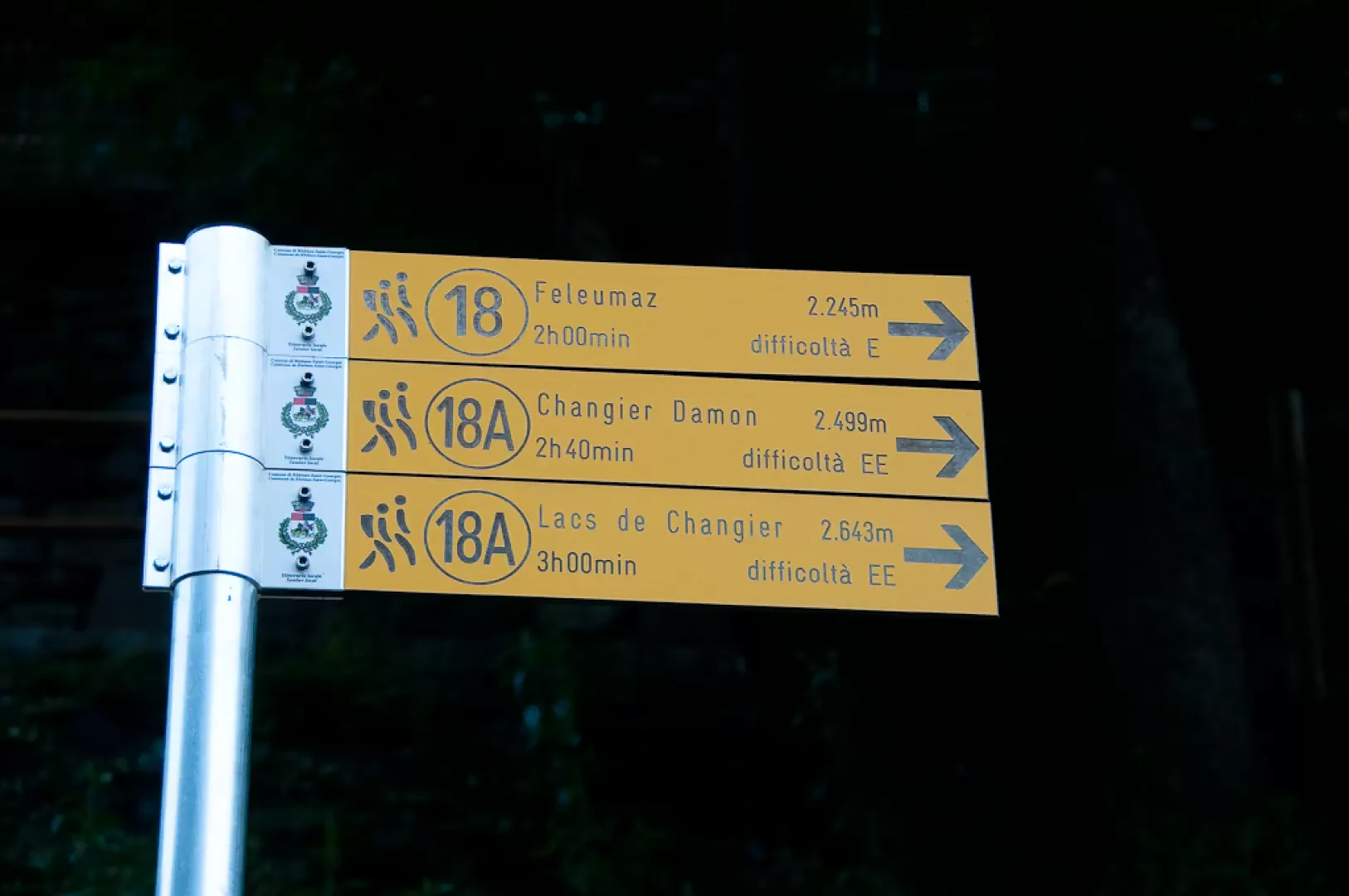
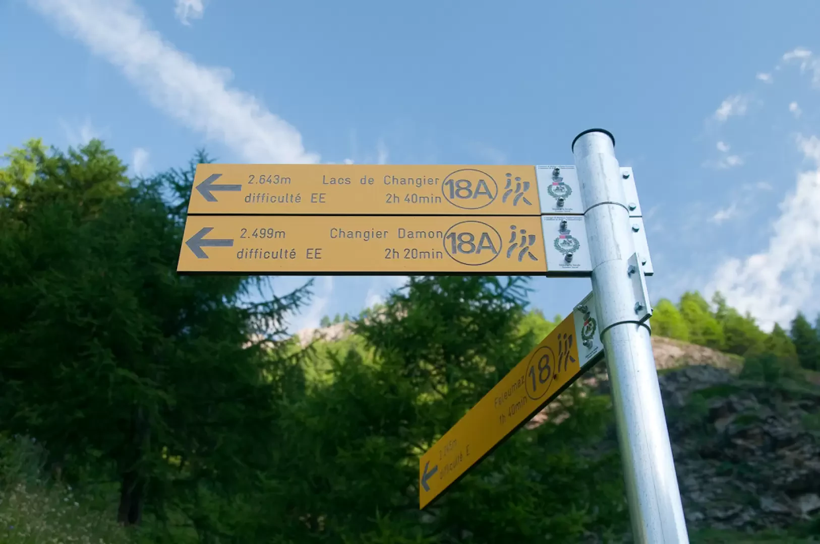
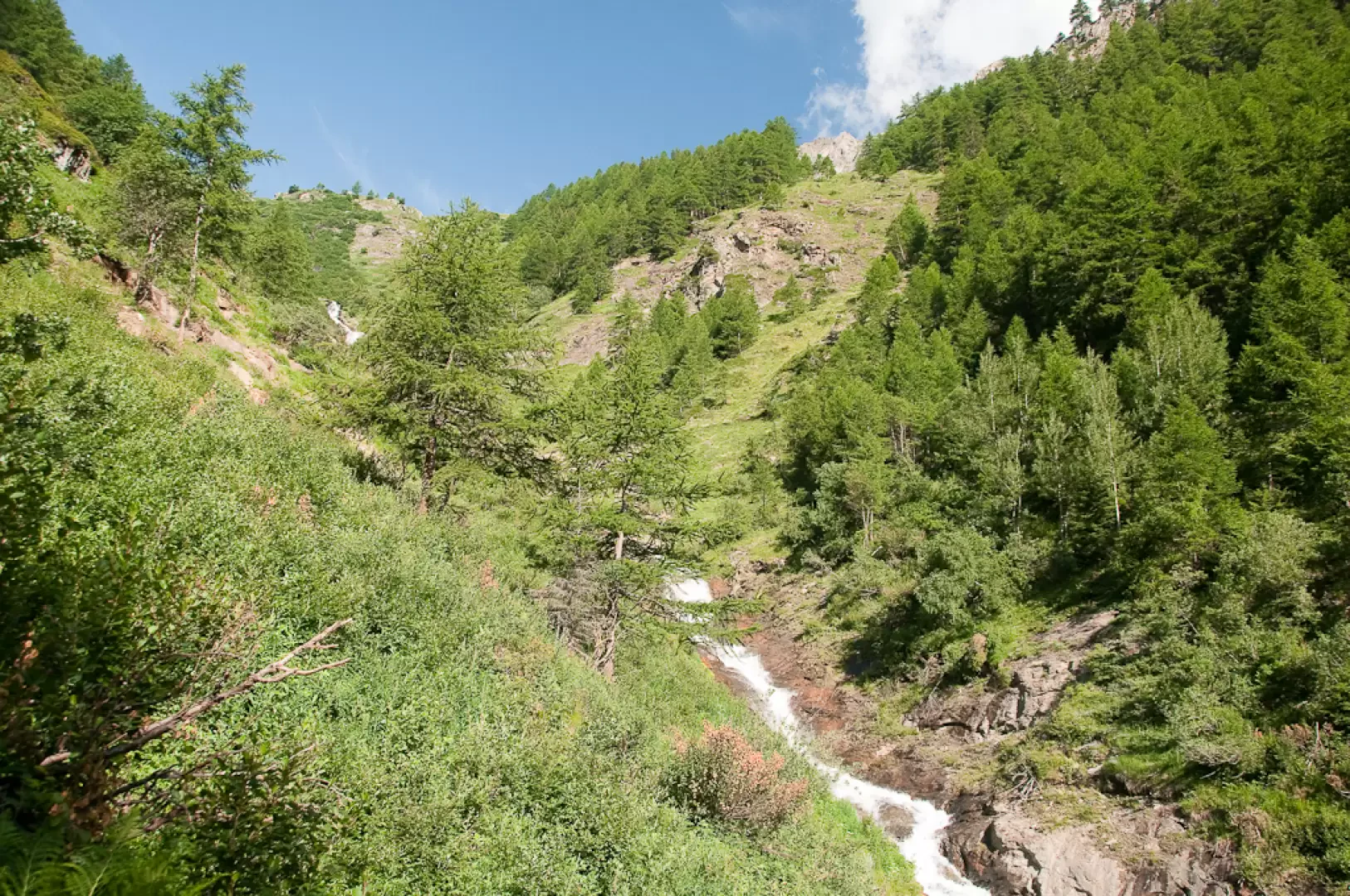
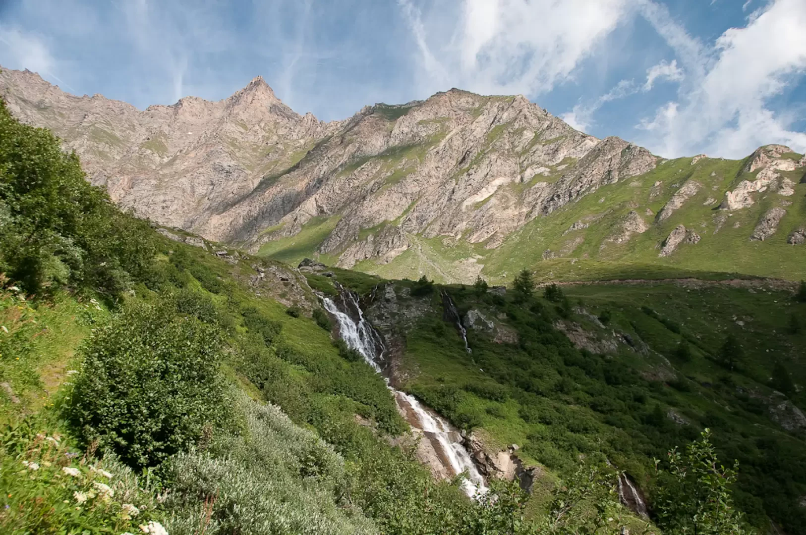
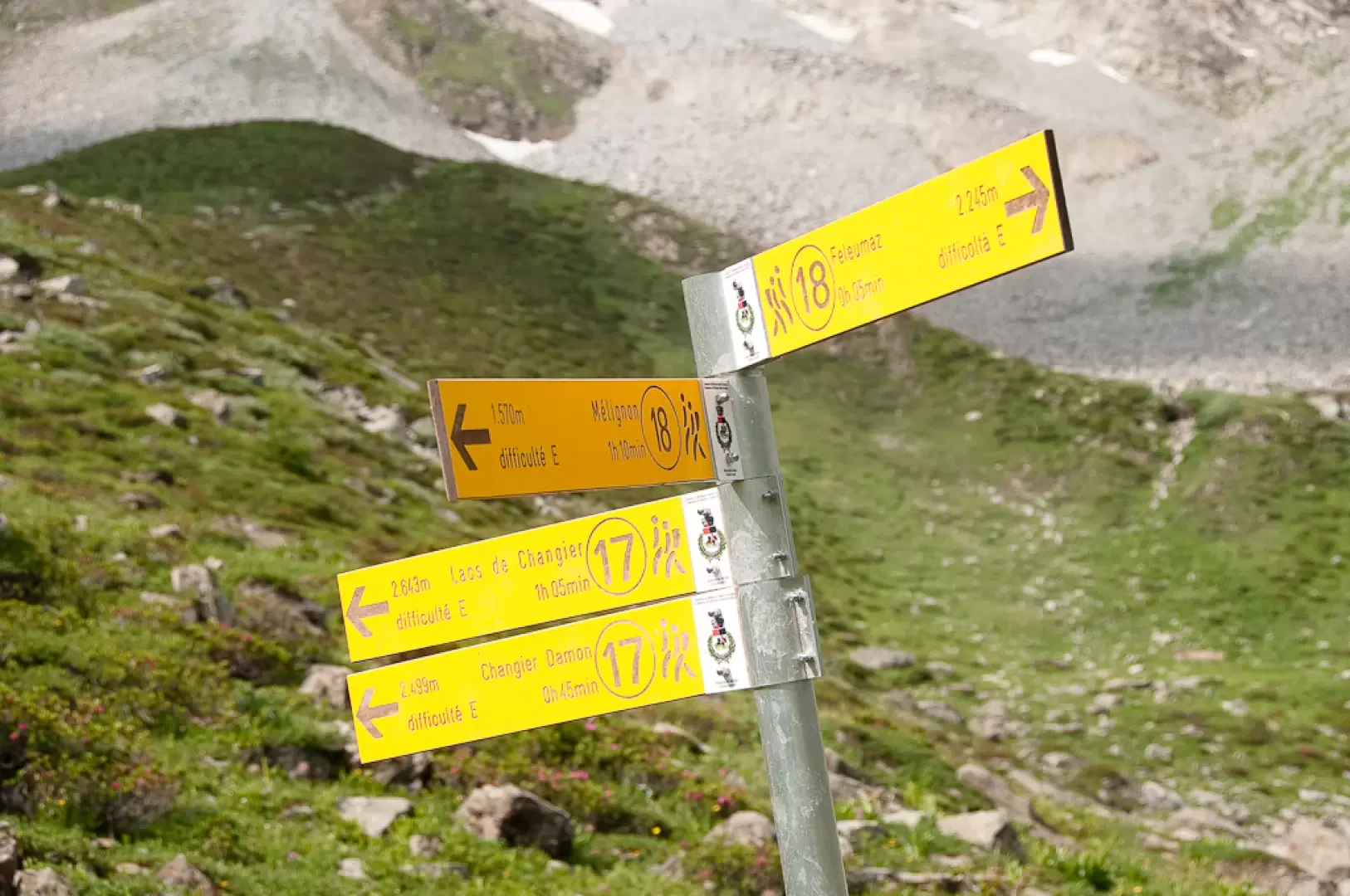
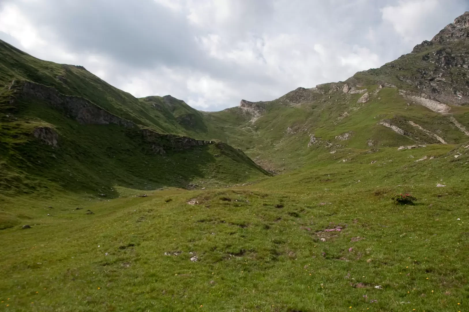
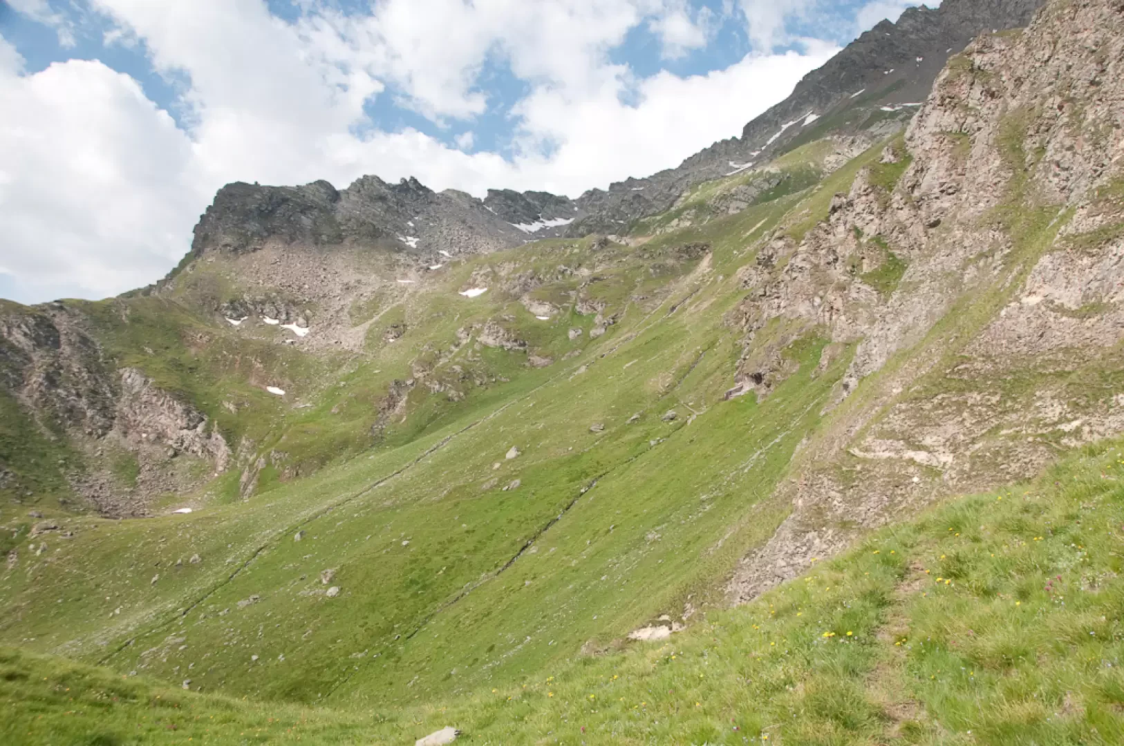
Leaving the car behind, proceed along the pleasant paved path bordered by wooden railings, which leads to Melignon (1600m, 0h05') with a turn. Turn right and briefly follow the little road inside the village until reaching a fountain: here, continue to the right, following the yellow arrows, quickly leaving the village. Continue across the pastureland on an almost level path until you arrive above the village of Barmaz; here the path turns left and climbs slightly up the slope, skirting some dry stone walls. After passing a second flat section, the path makes a wide left turn and leads to the foot of a marker post (1710m, 0h20'). Take the path (18) that heads right and quickly enters the forest. The path goes up the orographic right-hand side of the Feleumaz stream, which is visible from the path in places. The ascent is demanding but allows you to gain altitude quickly. After keeping briefly parallel to the line of the watercourse, the trail turns left and continues to climb through the predominantly larch forest, quickly reaching an altitude of 2,000m. It then heads back in the direction of the Feleumaz valley, reaching a short grassy clearing. Back in the forest, you face a short drainage gully (passage to be taken a little carefully) and then leave the forest for good as the little waterfall of the Feleumaz stream appears before your eyes. Proceed in the direction of the waterfall with an ascending half slope and then turn sharply to the left, taking you in a few minutes to the edge of the splendid pastureland before the mountain pasture. Following the signposts (yellow arrows placed on vertical stones), walk along the stream, crossing it about halfway up the plateau, to reach the path (17) for Changier damon (2220m, 1h55').
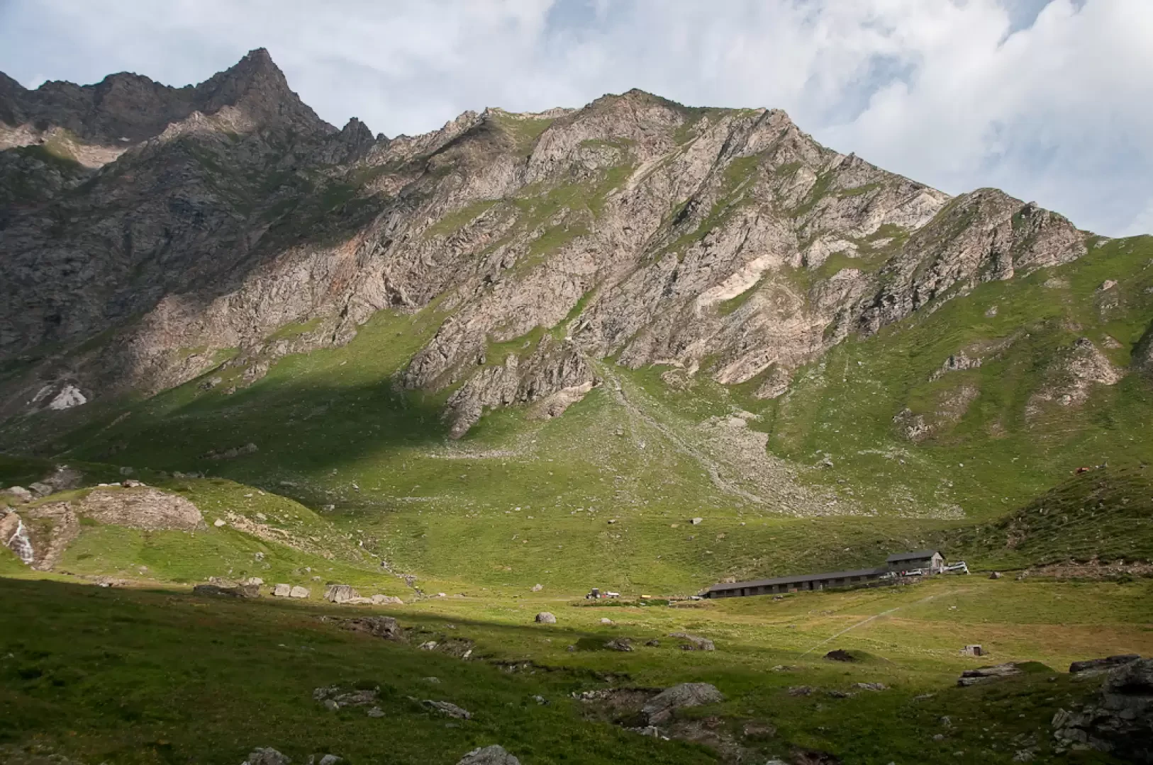
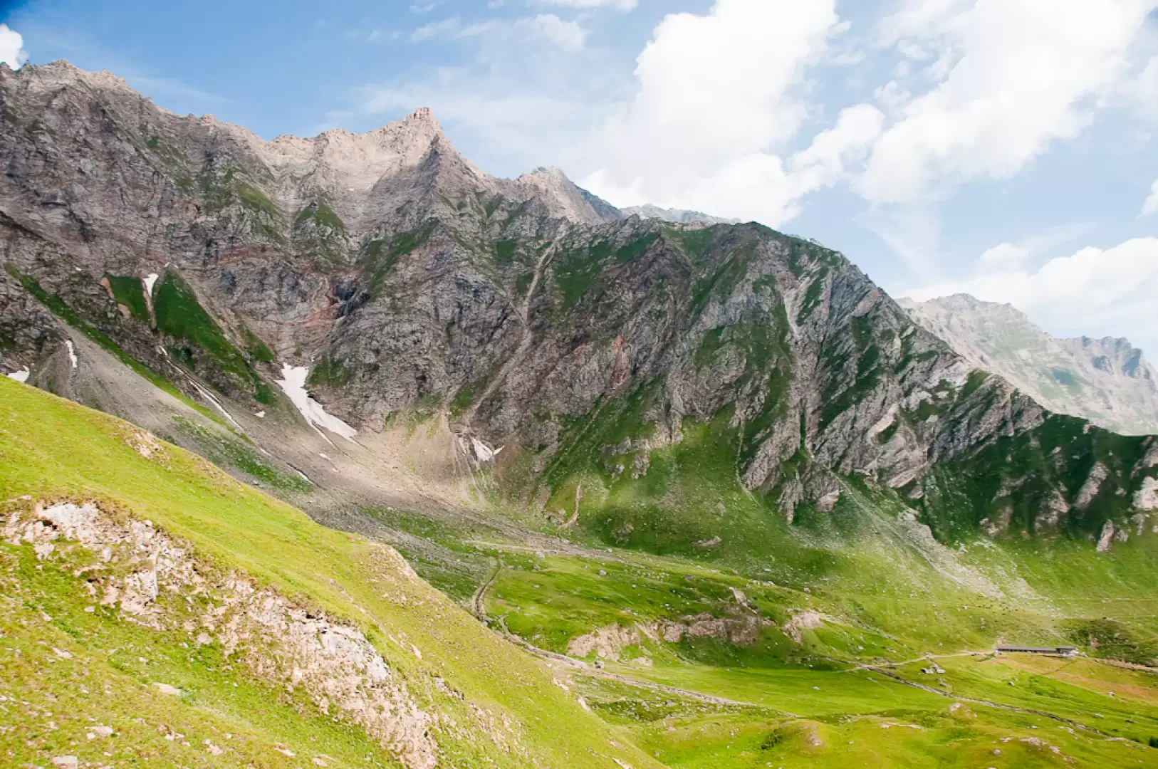
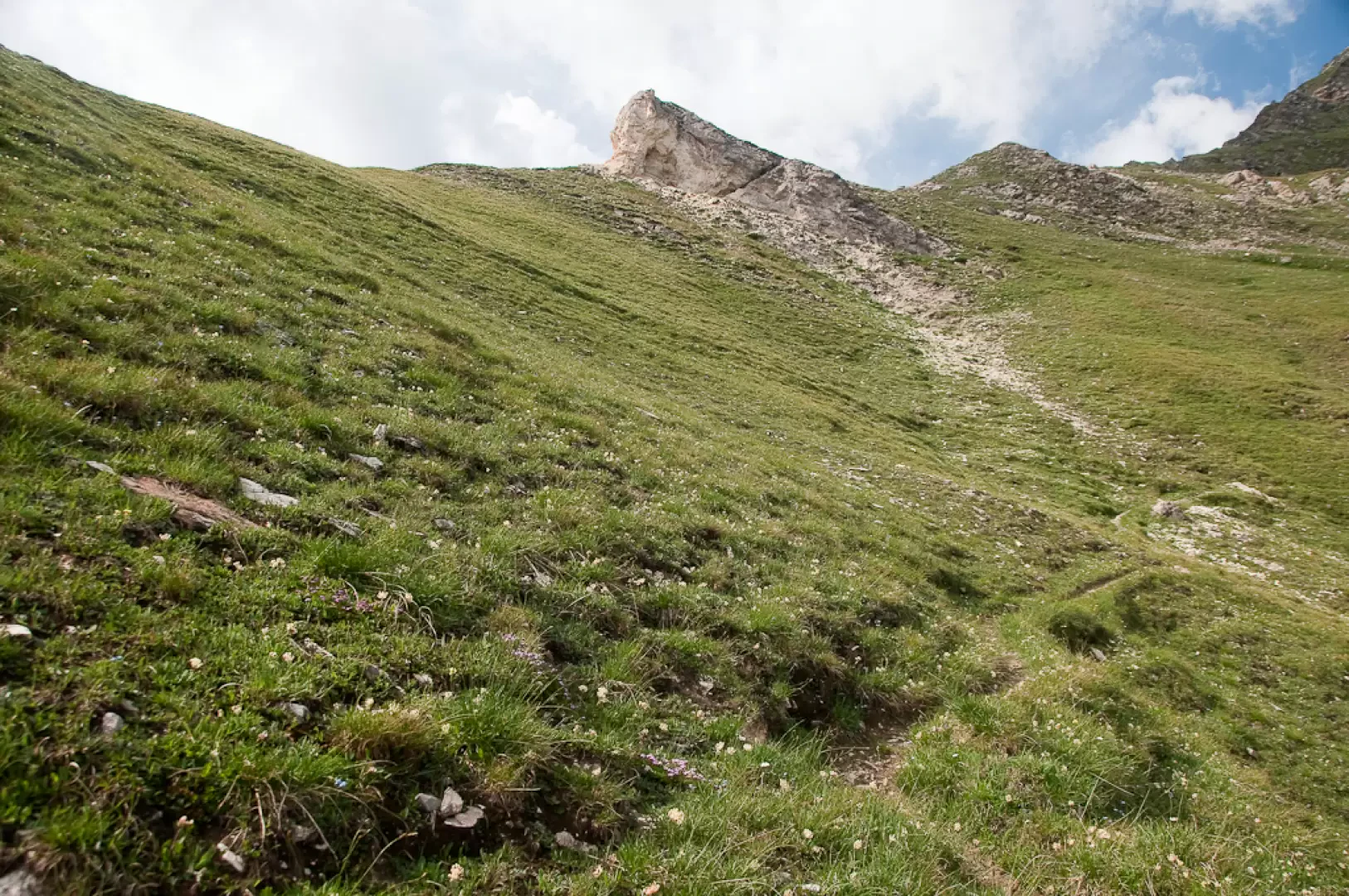
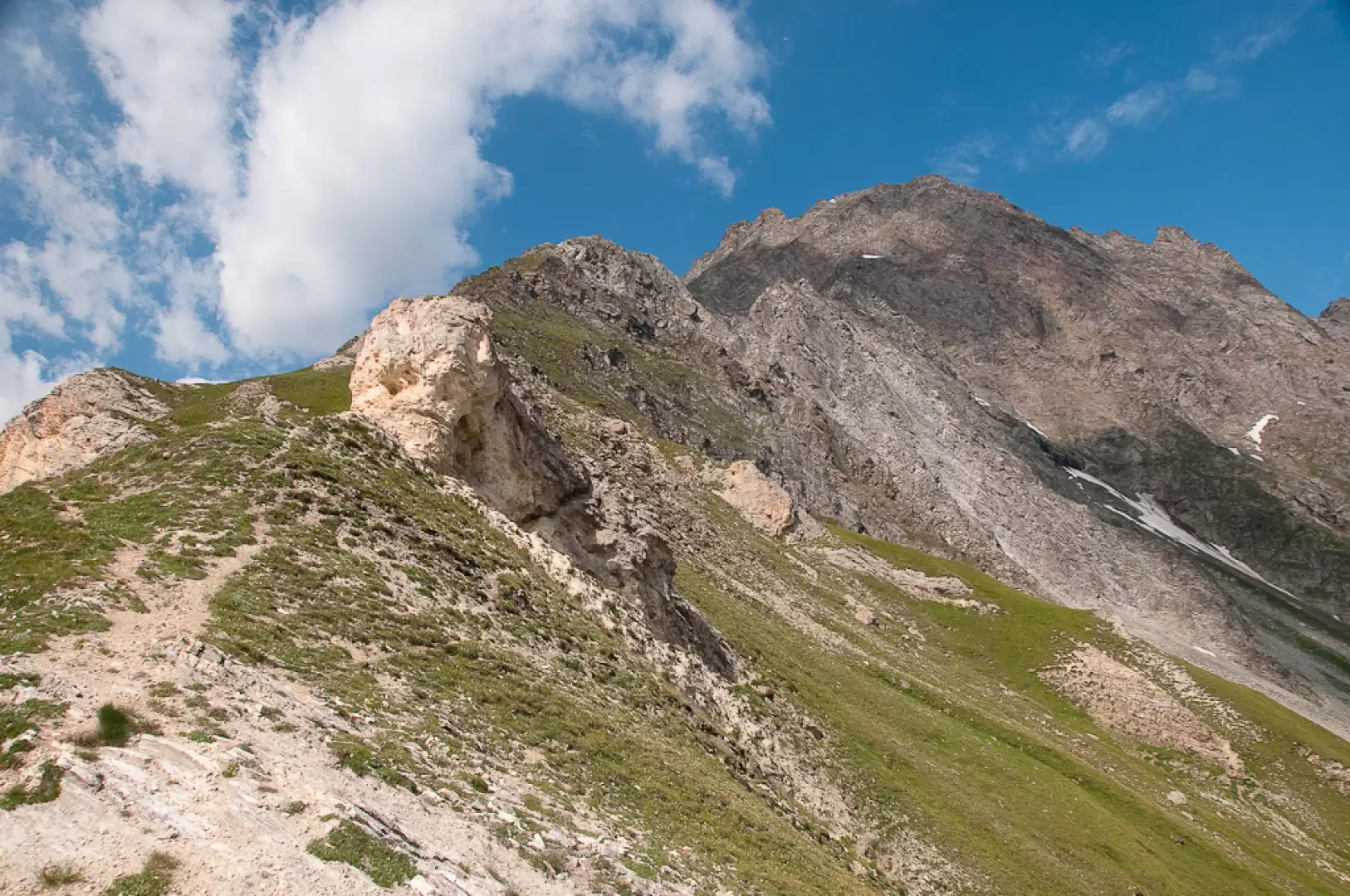
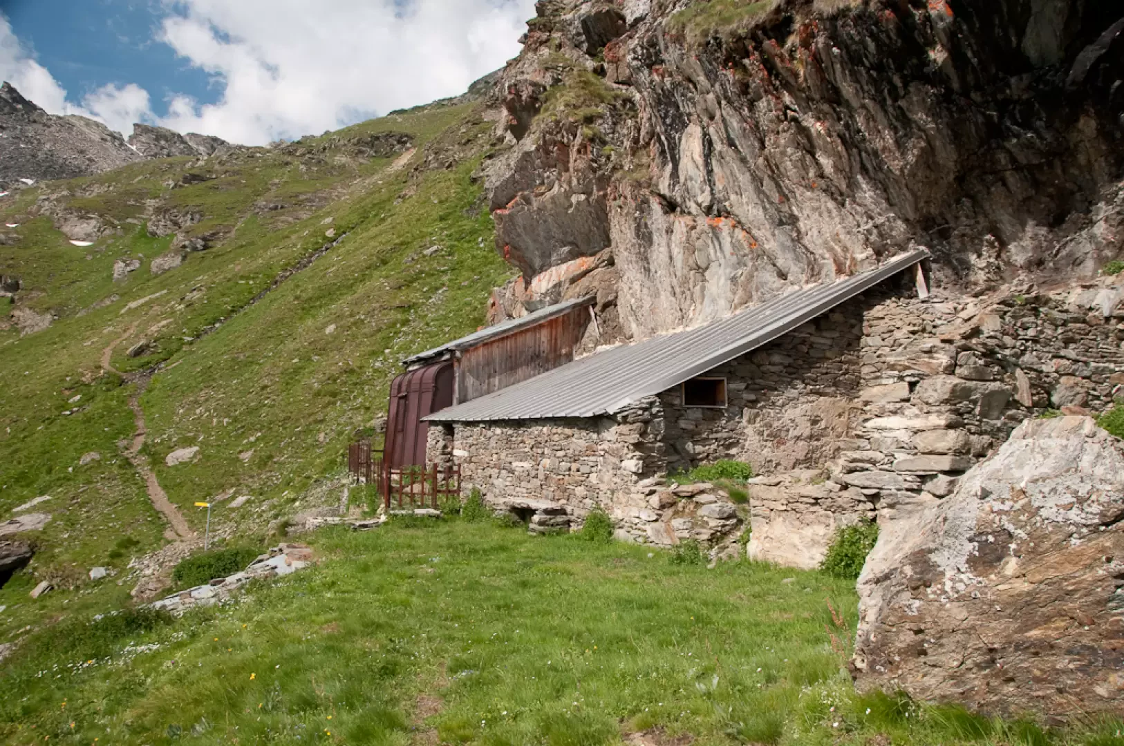
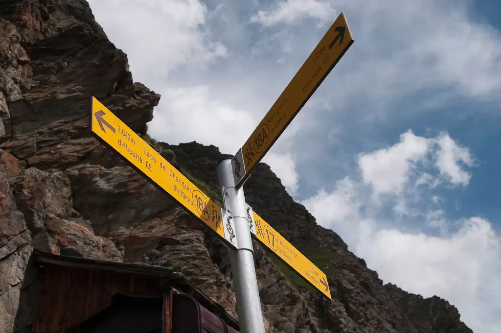
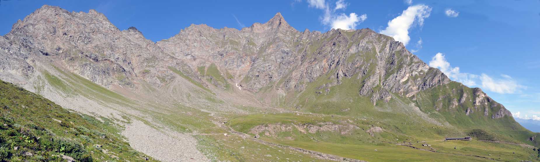
Continue straight on for a very short distance until it joins the track of the path that goes up the left side of the Feleumaz comba. A couple of long twists and turns and you reach a pleasant little grassy valley at the bottom of which a small saddle appears near a limestone outcrop. Proceed along the valley until you reach the bottom, then, with a couple of long hairpin bends, you reach the saddle seen earlier (2401m, 2h20'). From the col, ascend in a westerly direction towards the limestone outcrop and then begin a long traverse on the steep grassy slopes. After passing a short depression, you reach the Changier damon cottage with the adjoining hut of the Riserva Rossi di Montelera (2h40'). A little further on, you come to a fork in the road: proceed uphill to the right following the path (18A) to the lake. Climb the slope on a comfortable path, passing several small streams with easy fords. The path is quite steep, so the 150m difference in altitude is quickly overcome. After the last ford, the path decreases in gradient towards the impluvium of the lake's outflow: a few metres and you will finally reach the upper Changier Lake (2642m, 3h00').
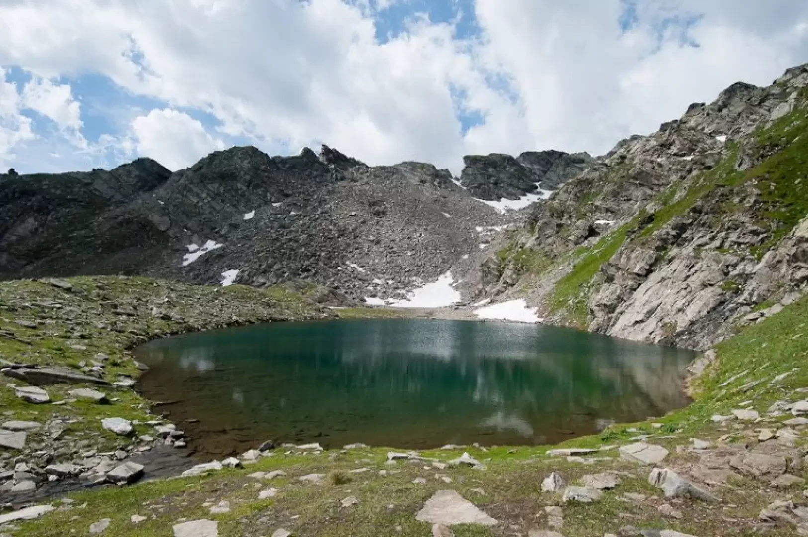
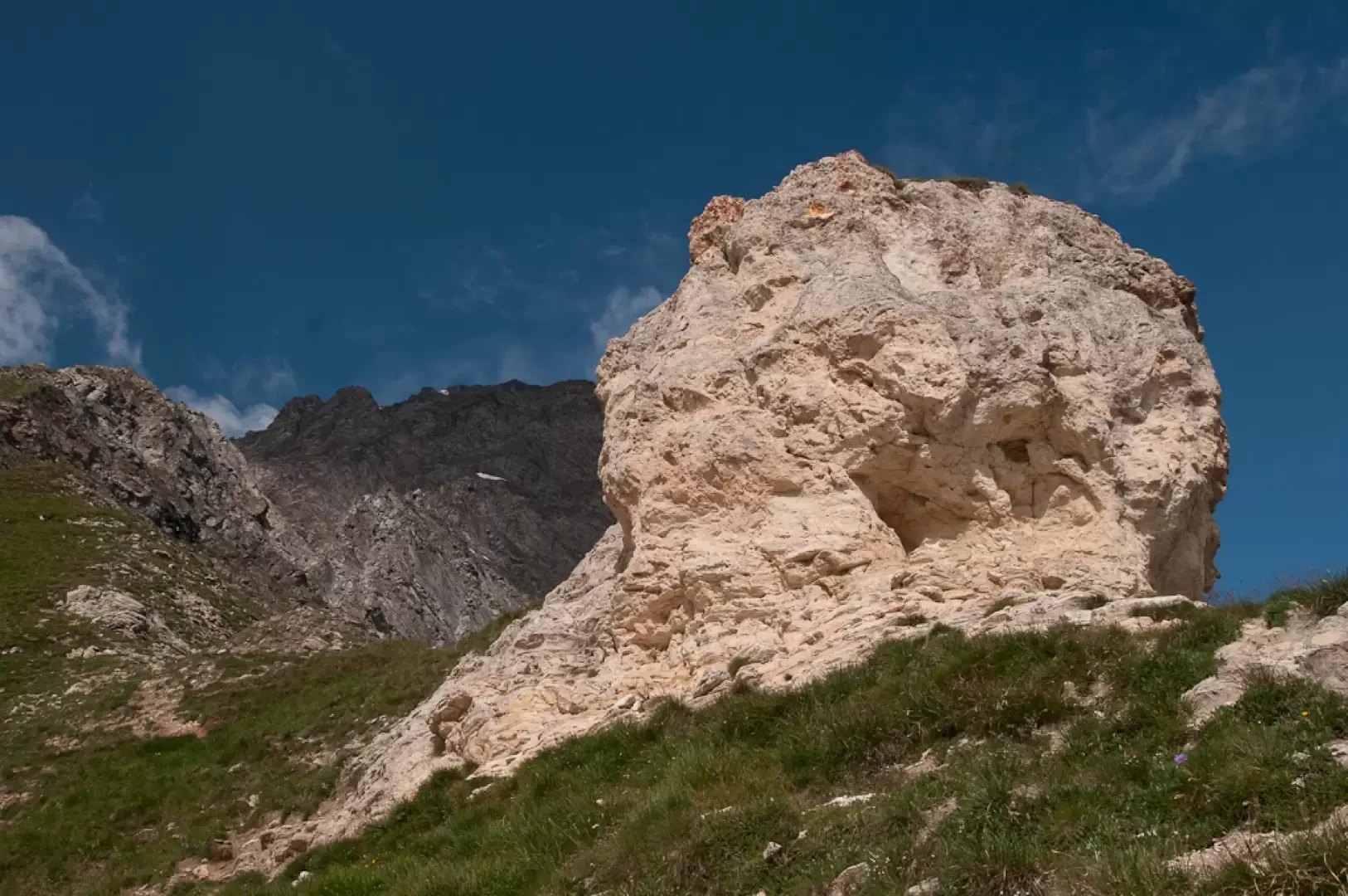
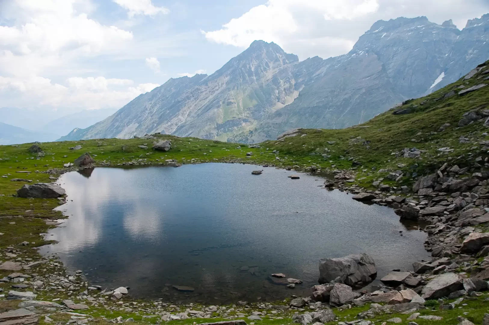
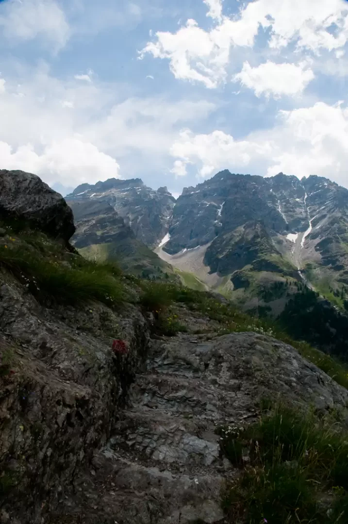
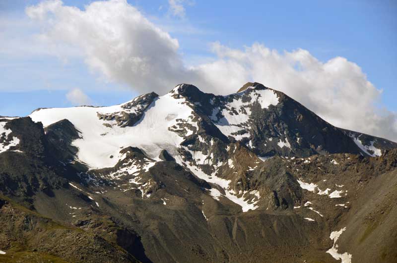
The beautiful blue-green lake is of glacial origin (the eastern side rests on a moraine base) set between the high rock walls of the Becca di Pré d'Amont and the not far away Becca di Changier. The panorama from the lake is interesting and unusual: there is a beautiful view of Punta di Ran and Punta Bioula, the watershed of the Rhêmes and Valsavarenche valleys.
The descent takes place in the first section on the uphill route until reaching the fork in the path before Changier damon: here we turn left and follow a short section of the path until reaching the lake, a short digression over the pastureland and we reach the lower Changier Lake ().
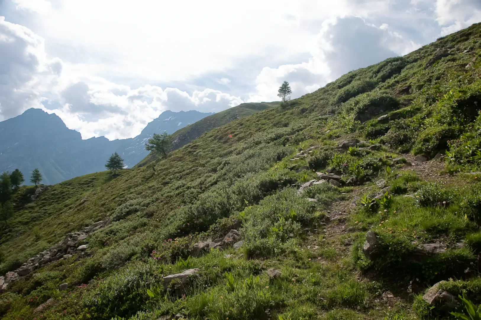
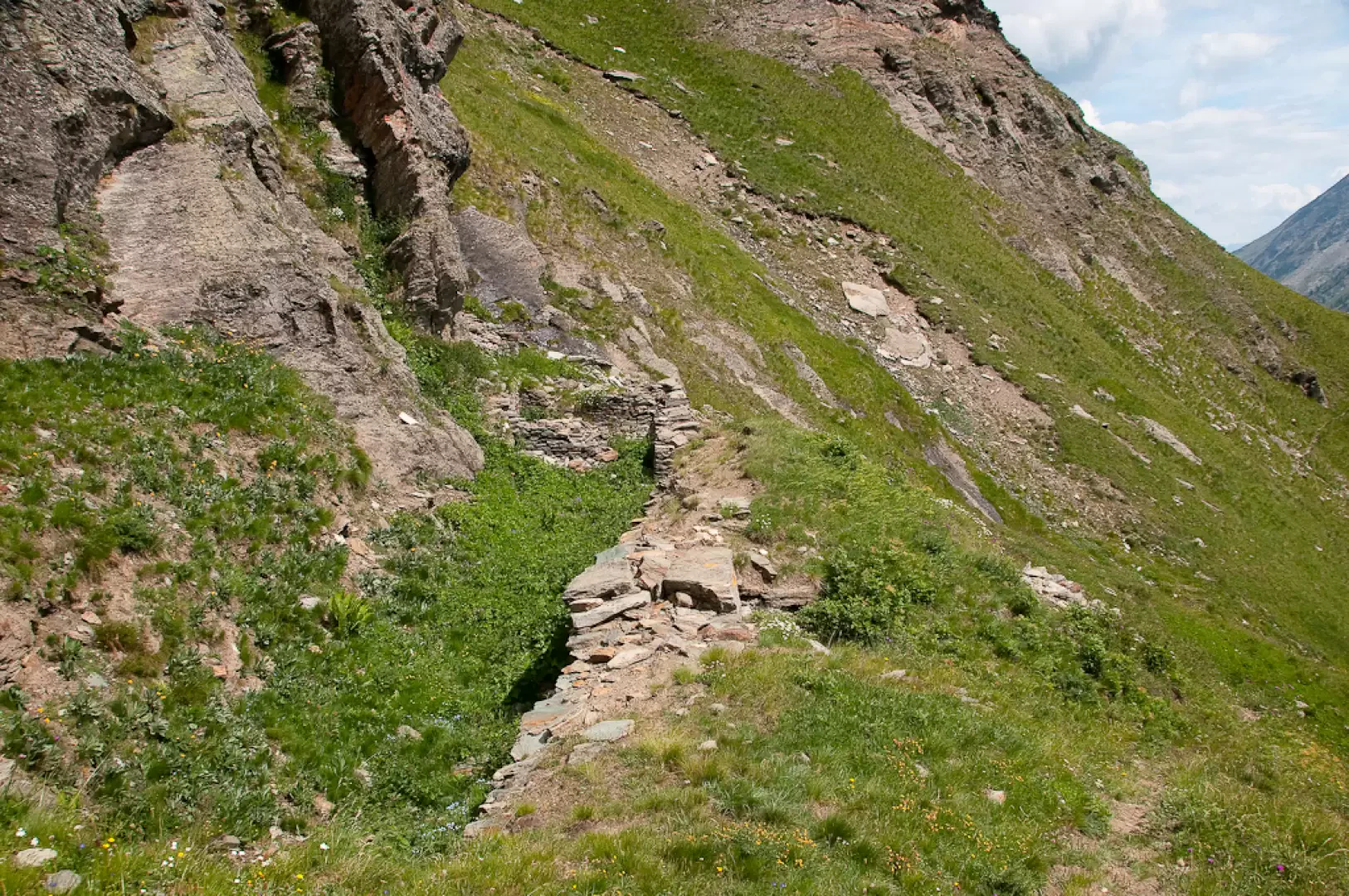
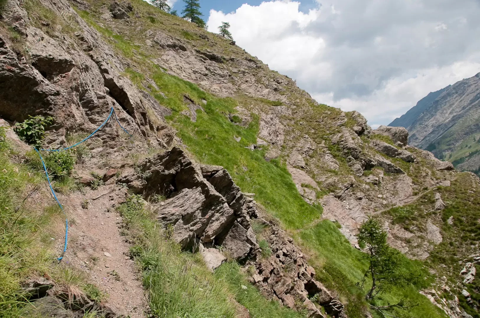
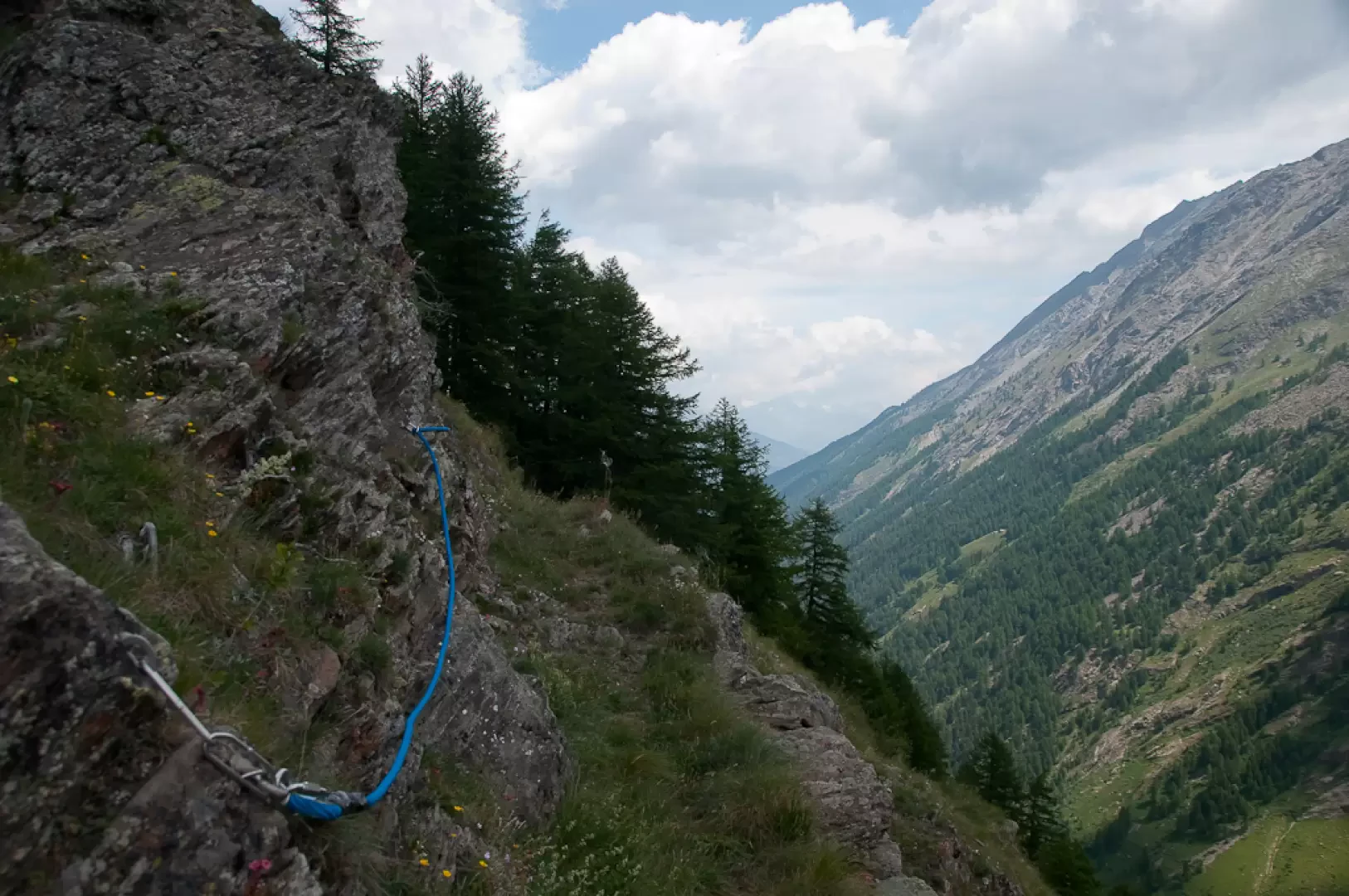
Returning to the path (18A) continue the descent making a left turn and beginning to lose altitude with a series of twists and turns. The path, which has recently been resurfaced, quickly reaches Changier dèsot () and, just below, crosses a beautiful stream with a ford. You reach the larch forest and after a few more turns, shortly after a ruin, you turn left along an almost level stretch: here you will encounter some equipped sections (blue handrail ropes) that make the somewhat exposed passage safer. The walk continues into the forest again, skirting rocky walls and alternating straight stretches with little slope with a succession of bends that cause the hiker to lose further height. The last stretch is again flat and leads to the junction with path (18) encountered on the ascent.
The hike ends by retracing the initial stretch to Melignon (1600m, 4h40').
Galleria fotografica
We have been there

Edited by:
Giancarlo Beretta
Laghi di Changier
Bella salita con giro ad anello consigliata agli amanti dei luoghi appartati. La difficoltà scritta sulla palina alla partenza ("EE") mi è sembrata eccessiva. Trovo comunque inaudito che sulle famose e precise cartine de "L'escursionista" non compaia il sentiero del ritorno, il 18A, mentre è addirittura presente su quella dell' "IGC" del 1985 (senza numero di sentiero perchè all'epoca non esisteva la numerazione)!!! Non mancheò di fare le rimostranze all'editore.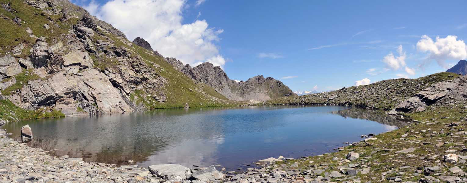
Edited by:
Massimo Martini