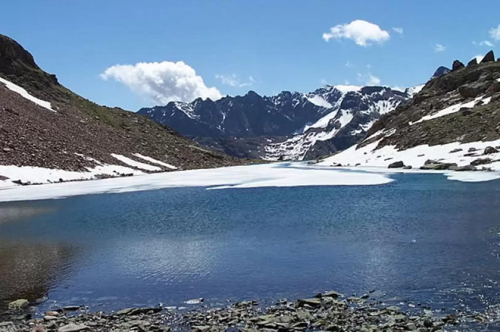
Upper Valpelline Lakes

Access
Leaving the motorway at the Aosta Est barrier, turn right and take the dual carriageway to follow for 8.4 kilometres. At Signayes, turn right onto the regional road following the signs for Bionaz/Laravoire. Pass a roundabout and continue on the regional road along the entire length of Valpelline. Drive through the villages of Valpelline, Oyace and Bionaz and, after about 27 kilometres, you will reach the car parks near the Place Moulin dam. From 1 May to 31 October, parking is chargeable (1€ per hour - 9€ all day). You can find free parking about 600m before the dam.
How to get there with GMaps
How to get there with Apple Maps
Description
Leaving the car behind, we set off on the tarmac road to the left of the last parking area (signposted "laghi" and path (7)), which after a few hairpin bends becomes a dirt track until we reach the entrance to a tunnel. Immediately to the right of the latter starts the path (7), which climbs with numerous bends and quickly gains height, crossing the numerous avalanche barriers and protective nets just above the dam. After this first, somewhat tiring section, you reach the ruined Méa pasture (2,320 m), which you leave to the left to continue on the obvious track that, shortly afterwards, climbs up a rocky crag from which a small stream descends and soon reaches the ruined Seytives pasture (2,446 m), also in ruins (1h 15'). Turning left and passing through it, cross a stream and now climb gently to reach the Plan Vaùon mountain pasture (2578 m), which is currently being rebuilt. Just before reaching it, when you come to a crossroads with clear markings on the stones, take the obvious track to the left and make a traverse halfway up the slope to go round a promontory, crossing a landslide zone of scree alternating with stony stretches. At the end of this section of trail, you reach Lac de Mont Ros (2628 m) nestled at the foot of Pointe Balliano. Go around the lake on the right, following a few stone cairns to head towards a small col, the summit of which can be reached with difficulty via a faint scree track (short but steep section). Here you are already at the Lac des Têtes (2780 m), against the backdrop of which there is an exceptional panorama of the Grandes Murailles. This small lake is also circled on the right and, following a few stone cairns, you head for a fairly wide cove from which, once reached, you have a panoramic view of some small but pleasant lakes below; now, continuing to follow the cairns, you arrive at the descent point to the Lac Long below (2720 m), which you reach in a few minutes. Having reached its stony banks, continue on its left (orographic right) to cross its tributary at its best point and, deviating slightly to the right, you will find the evident track that climbs a first rocky step, continue for a short distance between boulders and tracks to reach the wild basin in which Lac Mort (2843 m) is situated and which is bordered by the Becca Bovet, the Becca des Lacs and the Aguille Blanche des Lacs while, looking south, you have the Becca de Luseney in front of you and to your right the chain of the Grandes Murailles.
Descent
Repeat the ascent itinerary as far as the point where you descended to Lac Long and, still heading south, take a path (still marked with (7)) that descends with a regular gradient until you reach the alpine pastureland of Plan Vaùon (2578 m) and from here, having reached the fork encountered on the way up, retrace a section of the ascent itinerary as far as the dirt road and from there the car park.