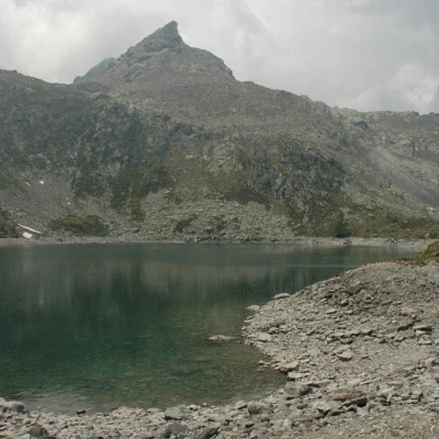
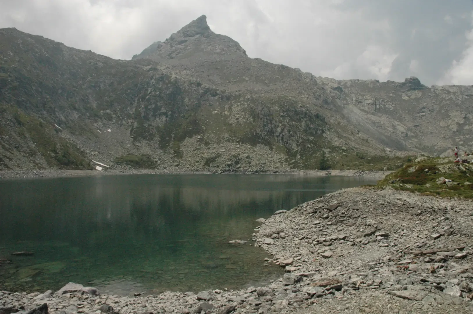
Lake Vercoche, from Outrelève
Introduction
Lake Vercoche, located in the upper part of the valley of the same name, is a somewhat unusual but certainly impressive destination! The route is varied: it goes from the beautiful initial mule track that generates antan emotion, to the interesting ascent to the plateau where the Alpe di Vercoche is located, until reaching the lake surrounded by rocky ramparts. Definitely an excursion not to be missed!
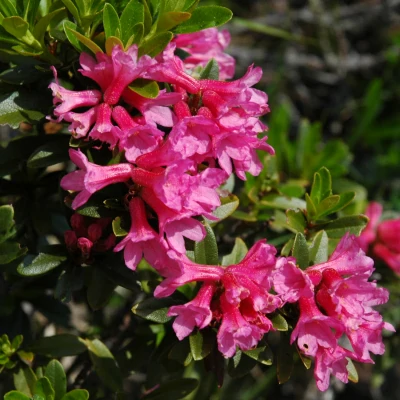
The itinerary in late spring presents an interesting variety of alpine flowers: equip yourself with a camera, there will be no shortage of suggestions.
Description
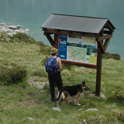
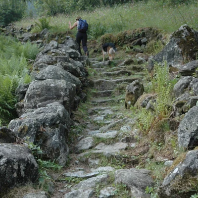
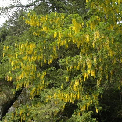
Leaving the car behind, you immediately come across the signs for the lake; in addition to the classic yellow signposts, there is also an explanatory panel of the CVA with a map of the route. We set off along the beautiful mule track that leads to the Alleigne Valley. After a short descent, we begin to climb up the paved mule track that crosses verdant pastures alternating with stretches of woodland where spruce (Abies picea) and larch (Larix decidua) prevail, with occasional laburnum (Laburnum anagyroides).
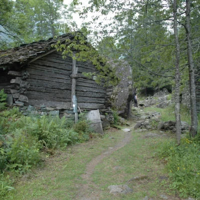
After passing a first votive shrine, the paved mule track crosses wooded stretches and small grassy glades; you will then come across a second shrine and then meet, on the right, the pathway marker No. coming from Champorcher: obviously, you ignore it and soon reach the characteristic ruins of Porte (1343 m, 0h20'). Leaving these ruins steeped in history, the mule track proceeds between low stone walls, quickly reaching a fork at the height of some cottages (1363 m, 0h25'): proceed to the right, ignoring the path heading for Alpe Troume. Head towards the cottages and continue climbing along the beautiful paved mule track to reach another fork in the road: this is the path marked trail No. for Bec de Monpey, which branches off to the right (1,462m, 0h35'). This fork is also ignored and, shortly afterwards, the path flattens out slightly at a wooden railing.
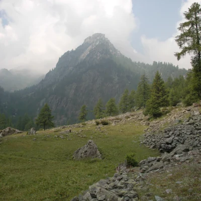
In a few minutes, a further fork is reached (1485 m, 0h40'): continue to the right and start to climb up a small path that is initially not very evident. With Punta Vorea in front of us, the ascent soon becomes steeper, leaving the Alpe Ourty on the left below.
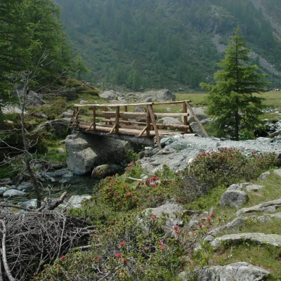
After a few hairpin bends, in the midst of Rhododendron (Rhododendron ferrugineum) and Juniper (Juniperus sabina L.), the path meets a stream, running alongside it for a short distance. The trail continues into the Vercoche valley, approaching the stream of the same name until it meets the stream at a small bridge (1840 m, 1h25'): you then come to the pleasant plateau of Alpe Vercoche, where cattle graze peacefully.
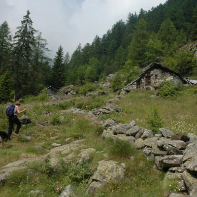
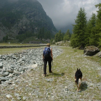
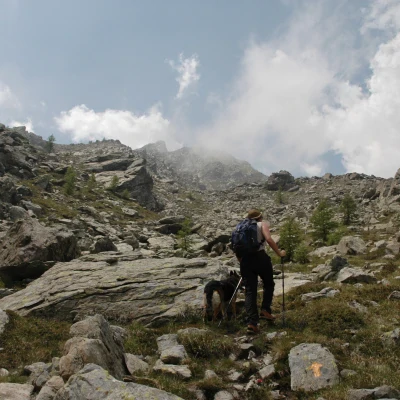
You walk along the stony riverbed of the stream, trespassing on it to pass a few erratic boulders: just before the alpine pasture, go up a small hillock on the right and then descend towards the little bridge that leads to Alpe Vercoche (1863 m, 1h40'). The trail continues above the alpine pasture, overcomes a small difference in altitude and enters a long falsopiano that crosses patches of rhododendrons among sparse larches; after crossing the stream again on a small stone bridge, continue up the valley until you come to a small peaty meadow. The trail soon comes to a stony cone, climbs steeply up it to the right and then turns left to reach the confluence of the trail coming from Chardonney: the highest point (2224 m) is reached and, after finally seeing the lake, a short descent is made to reach the CVA explanatory board.
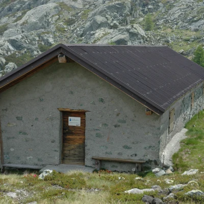
From here, it is a slight up and downhill walk along the northern shores of the lake until reaching a shelter building often used by local fishermen (2216 m, 2h45'). When you reach the lake, you cannot fail to appreciate the beautiful rocky corollary that surrounds it, and it is especially worth lingering your gaze on the severe spire of Bec Mulère. The descent follows the same route as the outward journey.
External links
- Energy tours by Compagnia Valdostana delle Acque (CVA)
- Consult the fact sheet of the Vercoche lake edited by ARPA Valle d'Aosta
Bibliography
- Luca Zavatta, I Monti di Aosta, Cogne, l'Avic e Champorcher, Rimini, 2001
- Giulio Berutto and Livio Fornelli, Emilius Rosa dei Banchi Park M.Avic, Milan, 2005
Cartography
- Carto della Valchiusella, Alpi Canavesane foglio 3, 1:20000, Mu Edizioni, 2008
- Valle di Champorcher e Parco Mont Avic, Carta dei sentieri foglio 11, 1:25000, L'Escursionista Editore, 2008
- Les Sentiers de Champorcher, 1:25000, Hapax, 1999
- Ivrea Biella Bassa Valle d'Aosta, sheet 9, 1:50000, Istituto Geografico Centrale (IGC)
