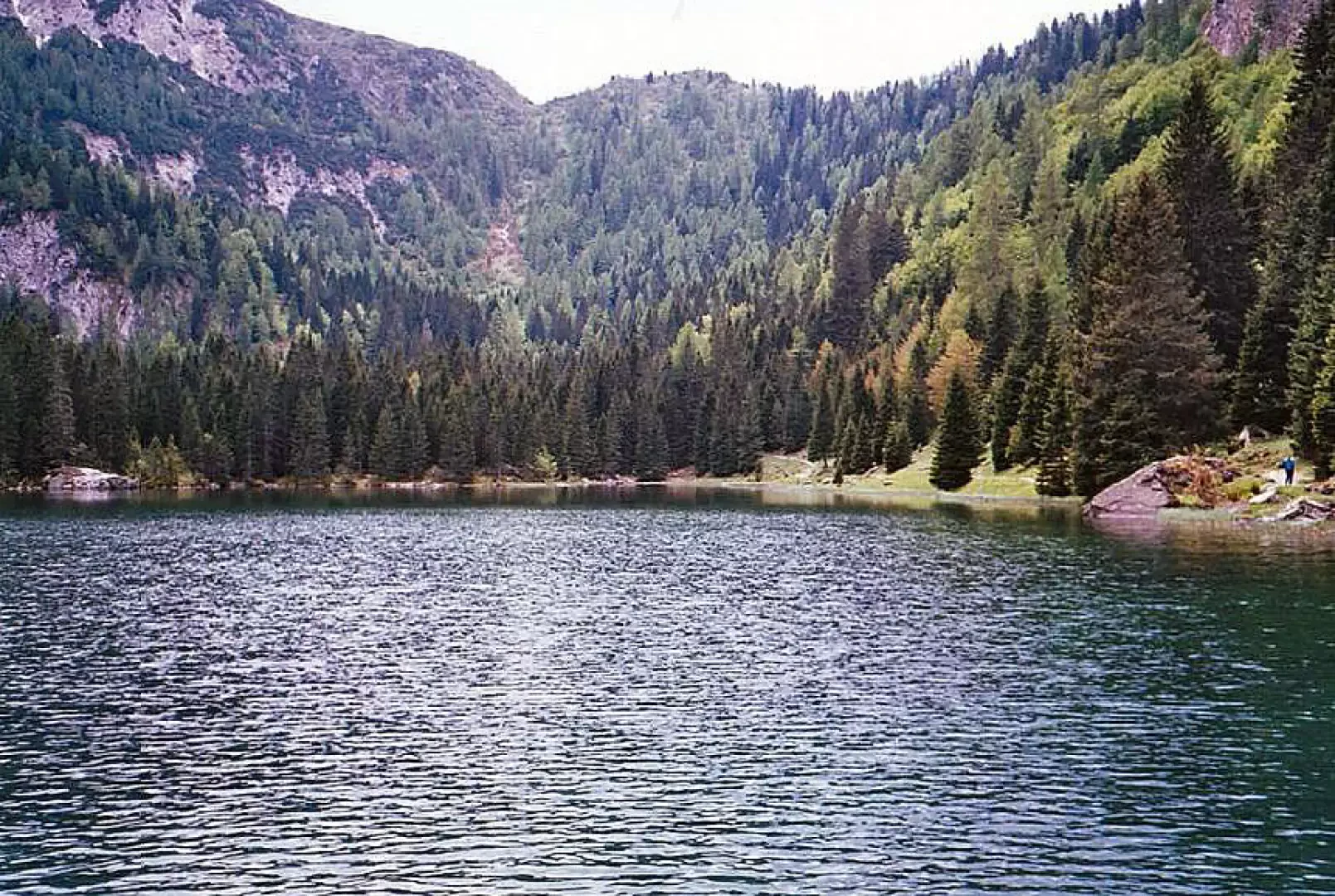
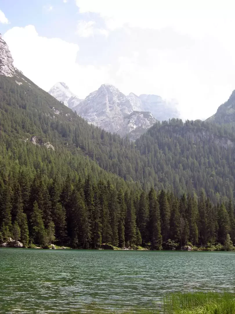
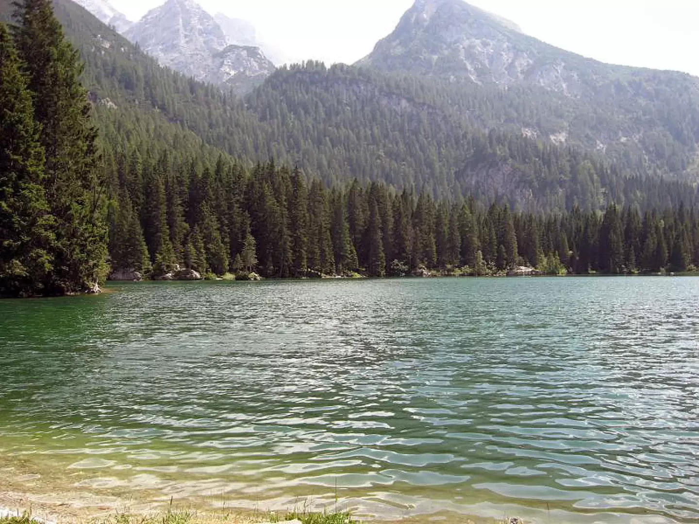
Valagola Lake, from the Pinzolo Campiglio Express 1 car park

Edited by:
Androcolo
Updated at: 27/11/2025
Introduction
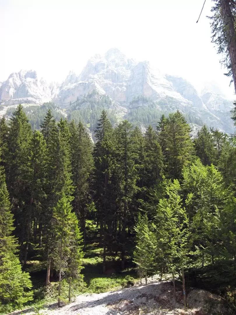
This is a very pleasant hike to do as it runs along a forest road within a forest with no access for unauthorised vehicles. It can therefore be easily enjoyed by families with children in tow, as the beautiful lake is nestled between the surrounding mountain peaks and, depending on the season, there is also an Adamello Brenta Park Authority bivouac open to the public for picnic breakfasts. There is also a stable of cows of the famous Rendena breed.
.Description
Since my excursions always start from the village of Pinzolo, follow the state road from Tione in the direction of Madonna di Campiglio until you reach the village of Sant'Antoni di Mavignola. We cross the village until we come to a tourist sign (the brown ones, to be precise) indicating Val Brenta. We follow the tarmac road until we cross the Sarca di Campiglio, at which point we turn right and follow the signs for Valagola. After passing some buildings used by the oratories as summer holiday homes, the road becomes a dirt road which is always passable with a normal utility vehicle. I recommend moderating your speed in these circumstances, although I imagine that the users of this site are very careful people.
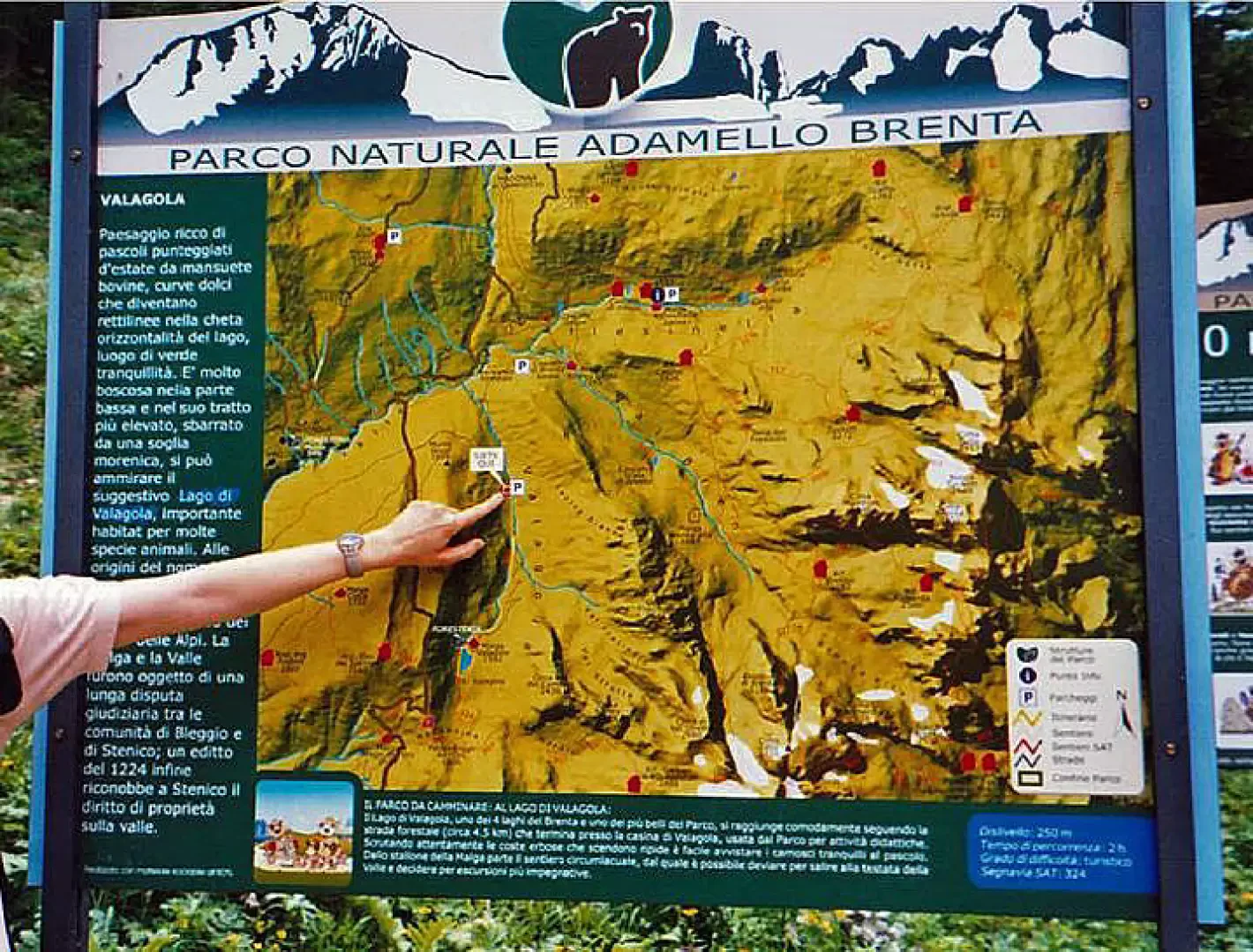
After a few kilometres you arrive at the largest car park, identifiable by a square (Piazza delle Bore) on the left with a wooden bar (usually always open) and a sign of the park authority which illustrates the route (see photo and map).
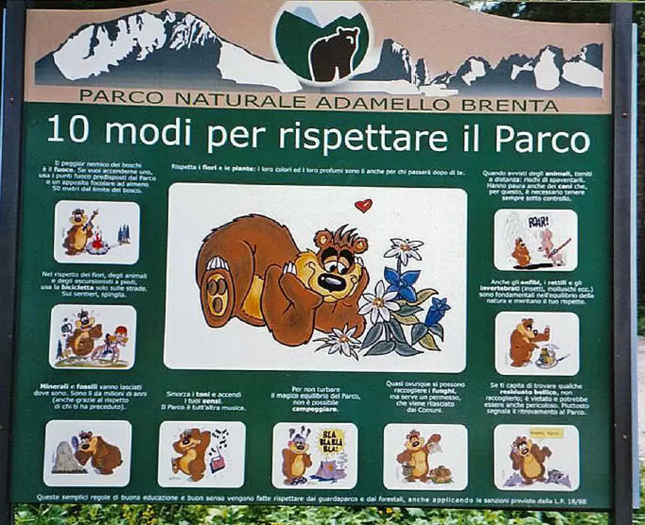
Just before arriving at the car park it is possible to see the former Brenta Nursery, now abandoned and a little run down, from which a forest road always starts leading to the Cascate di Mezzo del Brenta refuge. Here you can park your car and at the same time look at the nice signs put up by the park authority explaining why the rubbish collection bins have been removed (see photo).
I recommend, however, that you leave your car at the large car park as there is also one a couple of kilometres further on, but its capacity is limited and so you would risk having to retrace your steps.
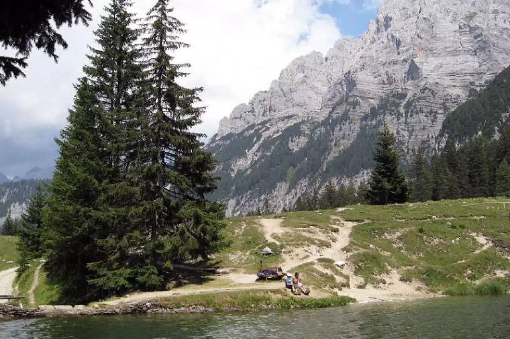
The excursion, as mentioned earlier, winds its way along the forest road until it reaches its end, from where we take a small mule track on the left that leads us to the plain where the stable and the bivouac managed by the park authority is located.
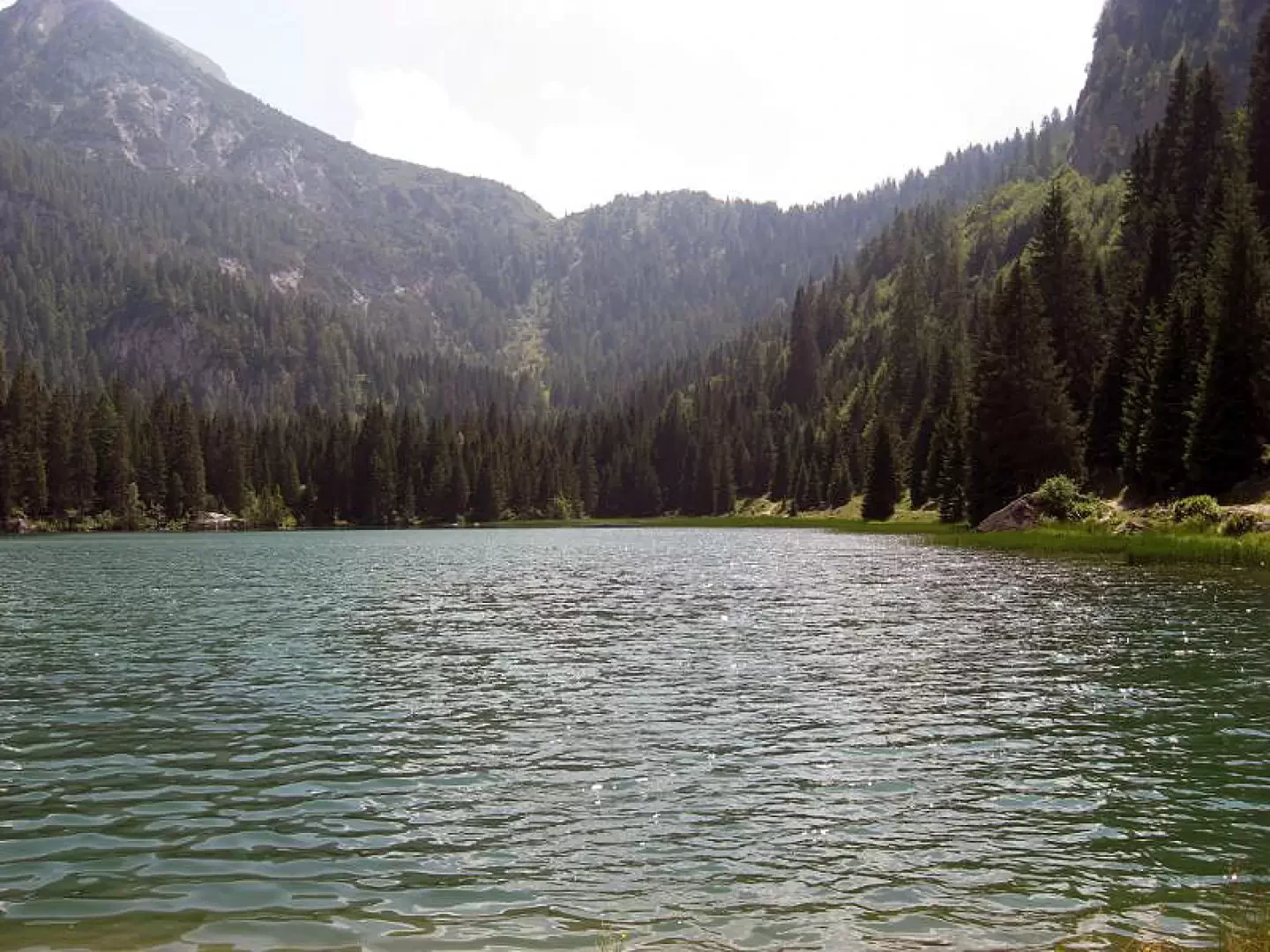
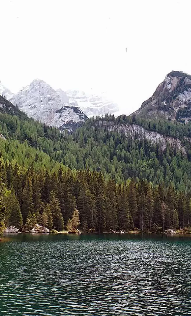
Once on the shore of the lake, in addition to admiring the beautiful scenery, in my humble opinion, it is possible to walk the length of the lake by following the path that runs alongside. This path also leads to the Madonnina plain, from where path 307 to the XII Apostoli hut starts.
The return is by the same route.
Cartography
- Brenta Dolomites Adamello-Presanella Val di Sole, Carta Topografica, foglio 10, 1:50000, Casa Editrice Tabacco, 2006
Galleria fotografica