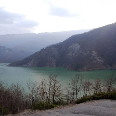
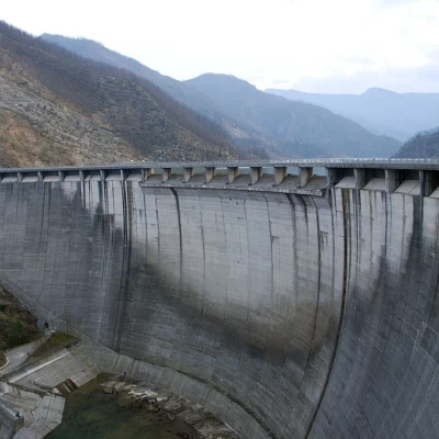
Lake Ridracoli, from the dam car park
Access
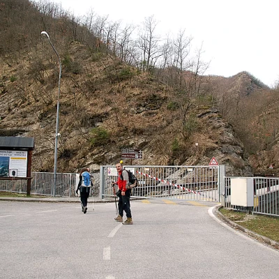
From the Cesena Nord exit of the A14 motorway, take the E45 motorway heading south. Follow the motorway until you reach the San Piero in Bagno exit. Drive through the town and up the Colle del Carnaio (SP26) to then descend to Santa Sofia. Once in Santa Sofia, turn left onto the SS310 del Bidente road. At Isola, leave the SS310 and take the SP112 to reach Ridracoli and, a little further on, the car park in front of the dam. The access road to the dam is closed to traffic, so the excursion starts from the gate.
For those arriving from Bologna, it is best to exit the A14 motorway at Forlì and take the SS310 to Meldola. When you reach Santa Sofia, continue following the itinerary indicated above.
Introduction
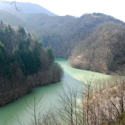
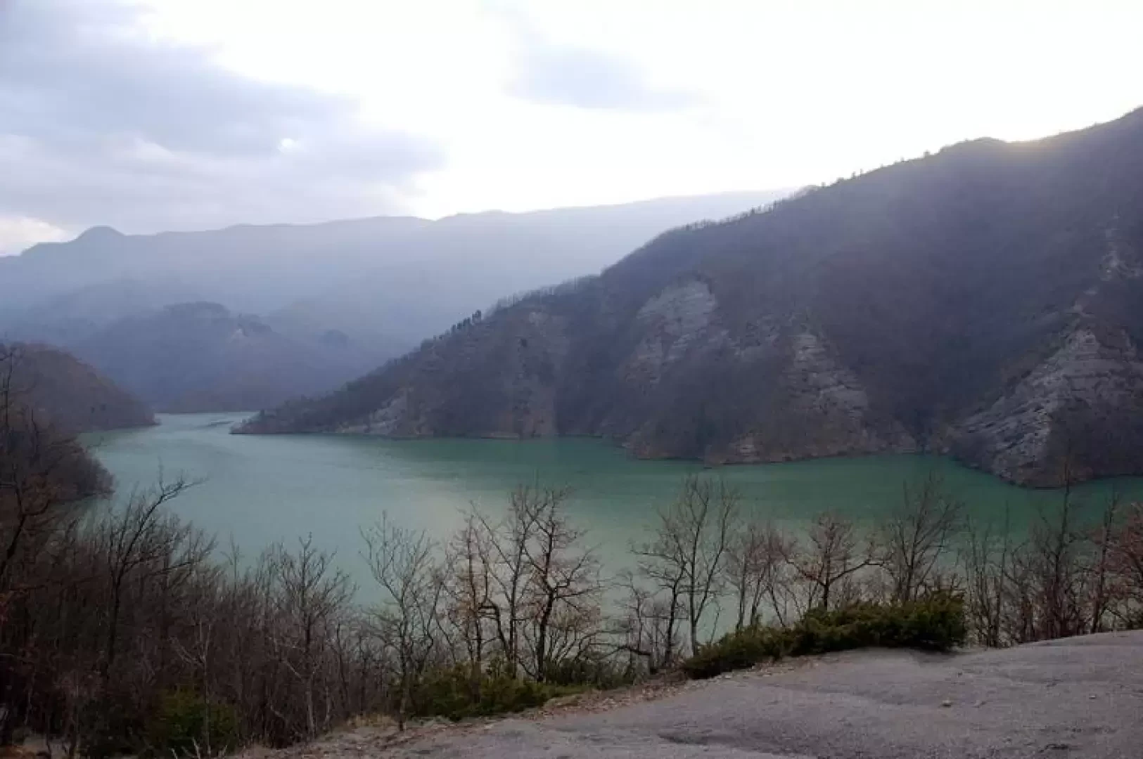
It is not a very well known route, but certainly one of the most significant to be covered within the [[Casentino Forest National Park]]. The route has a considerable development, so it is advisable to tackle it wisely. Lake Ridracoli is an artificial lake created after the construction of the dam between 1974 and 1982 with the aim of providing water to all the inhabitants of the Romagna Riviera.
.Description
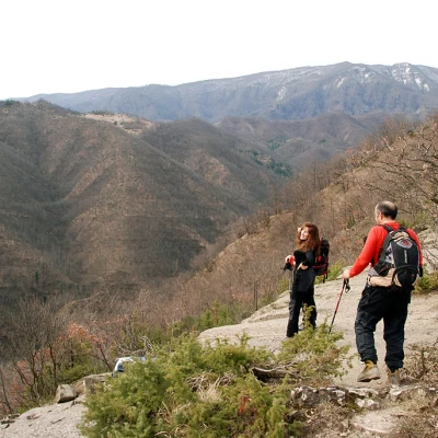
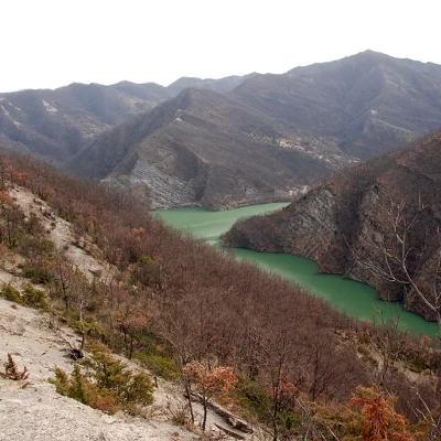
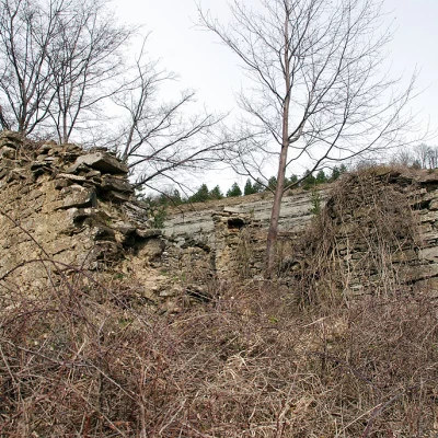
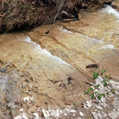
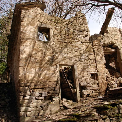
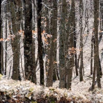
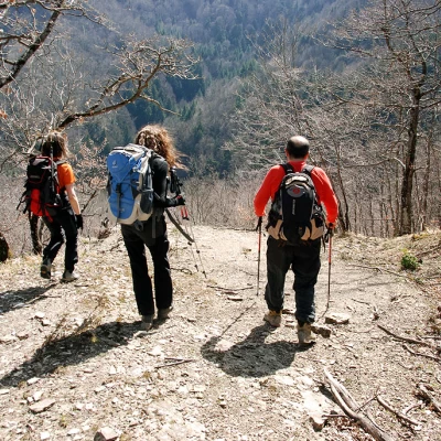
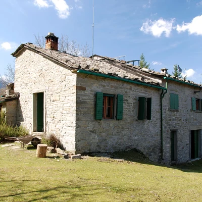
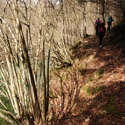
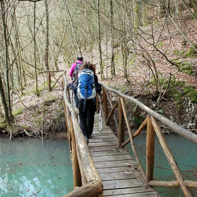
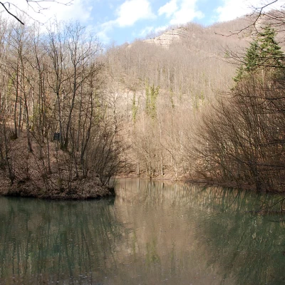
From the car park, walk along the access road to the Ridracoli Dam; go through the gate that closes it to unauthorised traffic and proceed along the asphalt road that leads to La Bacina (488m, 0h10'). Just after the hairpin bend, leave the road and take a path that branches off to the right and climbs, with a series of twists and turns, into the wood that gradually thins out until it reaches the top of the ridge (718m, 0h40'). We now proceed along the ridge with some first glimpses of Ridracoli Lake and the Fosso del Molinuzzo valley. After an initial uphill stretch, we leave the ridge, reaching the ruins of Ridondone (759m, 1h00') and then, with a steep descent, we descend into the Fosso del Molinuzzo impluvium (600m, 1h25'), which we cross with a ford (easy depending on the water load of the stream). We now ascend the impluvium following its orographic left and then leave it, climbing up the slope until we reach the ruined nucleus of Poderina (720m, 1h45'). Once past the ruins, we cross a short strip of conifers and then re-enter the splendid beech forest until we reach a new ridge: from the ridge, we descend in short order to reach the uninhabited village of i Botriali (736m, 2h05'). Leaving Botriali, we continue into the splendid oak and beech forest, where encounters with wild boar are not infrequent. The path descends to a track and, shortly afterwards, a small bridge to cross the Fosso Campo della Sega (600m, 2h35'). After crossing the stream, the path climbs up a slope again to reach the pleasant Seghettina clearing (700m, 2h50'). Leaving the Seghettina clearing, we descend again to another impluvium, the Dosso degli Altari, which we cross with a new ford. After a short ascent, the ditch is skirted for a stretch and then taken towards the southern end of the lake, which is crossed with a new ford on the Fosso della Lama (the ford point may vary depending on the water load of the reservoir). One now skirts the arm of the lake, a few metres above the water level. You go around a promontory, taking you into the arm of the lake generated by the Fosso del Mulino (554m, 5h30'): having passed a small bridge, you finally reverse direction and return to the starting point. The route is now a succession of ups and downs with splendid views of the lake to the left of the direction of travel. Having reached a promontory, just opposite the Seghettina, we start climbing again with a long diagonal that cuts across the slopes of Monte Palestrina. Where the lake widens, the path begins to descend until it reaches the clearing where the Ca di Sopra hut is located (605m, 6h 30'). The final section of the itinerary leads to a clay hump and descends towards the Fosso del Fontanone beyond which the path soon becomes a track, known as the nature trail, which leads back to the edge of the lake and, after passing a couple of tunnels, finally reaches the dam (561m, 7h30'). One crosses the dam with its wall of more than one hundred metres until one reaches the return route. We cross another tunnel and descend the small access road to the dam until we return to the point where we left it to take the path: from here we soon reach our starting point (454m, 8h00').
