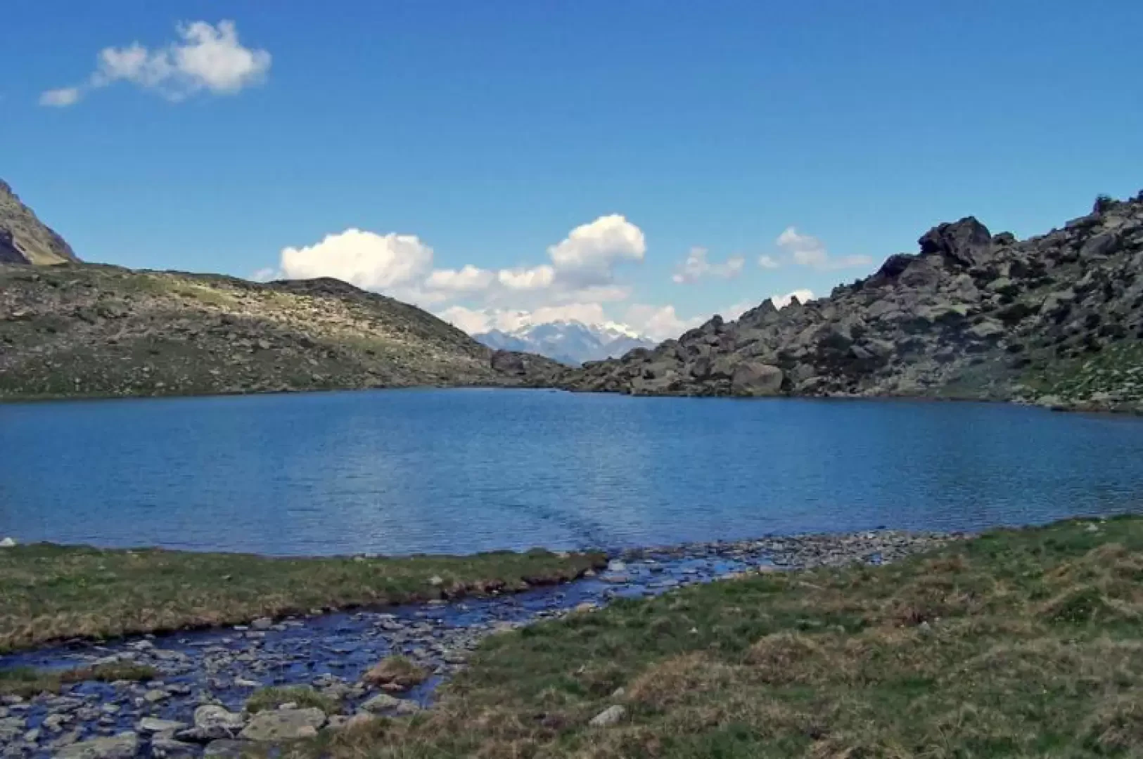
Lake Medzove, from the Marqueron car park

Introduction
This is an excursion that takes place, beyond the Clavalité plateau, in the Savoney valley in wild surroundings and off the crowded paths. The altitude is not high, but silence and suggestive surroundings are the hallmark of this itinerary. In the upper part, from the Savoney alpine pasture to the lake, you have to be a little careful to follow the faded signposts and stone cairns because the trail tends to get lost for short stretches.
Description
We begin to walk on the now dirt track that winds its way up the Val Clavalité valley through the woods, passing by some renovated alpine pastures, until a short descent takes us to the beautiful plateau of Clavalité (1514m) dominated at the bottom by the Tersiva. We continue along the dirt road, passing beautiful and characteristic mountain huts and heading south into the forest. You will immediately come to a fork in the path marked by the posts indicating the direction to take, to the left, of the Sentiero route (4) and without crossing the bridge over the stream you head just above the huts to climb up the meadows along the tracks of the mule track to a small barn where, on a stone to your left, you will find the marker that takes you up into the woods. The path continues to the left (hydrographic right) of the stream and, after a level stretch that passes in front of the Orgère alpine pasture (1747 m), you will find a stone at a crossroads on which there is a mark indicating the direction to the right and shortly afterwards you cross the stream on a small bridge. After crossing the stream on a bridge, the path climbs steadily and at times a little steeper into the magnificent forest of conifers and rhododendrons on the slopes of Becca d'Ause and Viot, with a clearly marked path until it leaves the forest itself in view of a wide col. Once there, the large plateau opens up before us, where the Savoney alpine pasture (2129m) is situated, dominated by Mont Glacier at the bottom and, on the opposite side, by the wide panorama of the valley towards the Grand Combin. Now following the yellow arrows on the stones, cross the entire plateau on tracks in the grass to head towards an obvious rocky rampart and at the bottom cross the stream on a small bridge to climb up the left-hand ridge of the small valley. At first, the path passes close to the stream and then, with a few hairpin bends, moves further and further away to arrive above the rocky wall where there is a marker indicating the presence of a monumental tree a short distance away. Now the trail, which is not always evident, moves further away from the stream and then approaches again through small pastures enclosed in pleasant little valleys and points to an obvious wide creek, passing by a puddle of water and, ascending a last promontory, we come within sight of the lake. From here you can either descend through meadows to the lake estuary or, passing in front of the ruined Margheron alpine pasture (2378m) with a forestry bivouac next to it, follow the path for Col Medzove for a short distance and when you see the lake, descend a little to the right along a track to its shores.