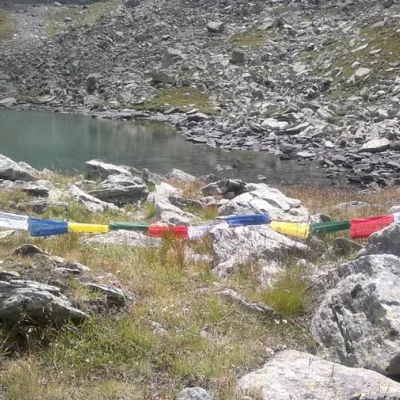
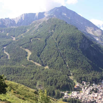
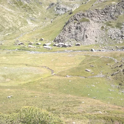
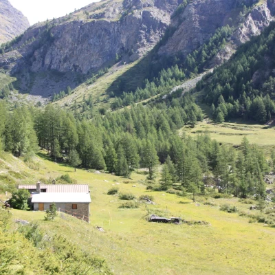
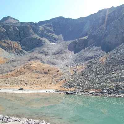
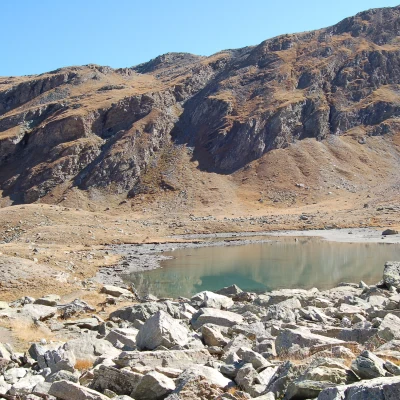
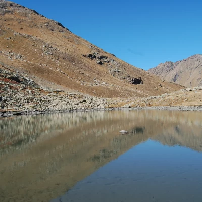
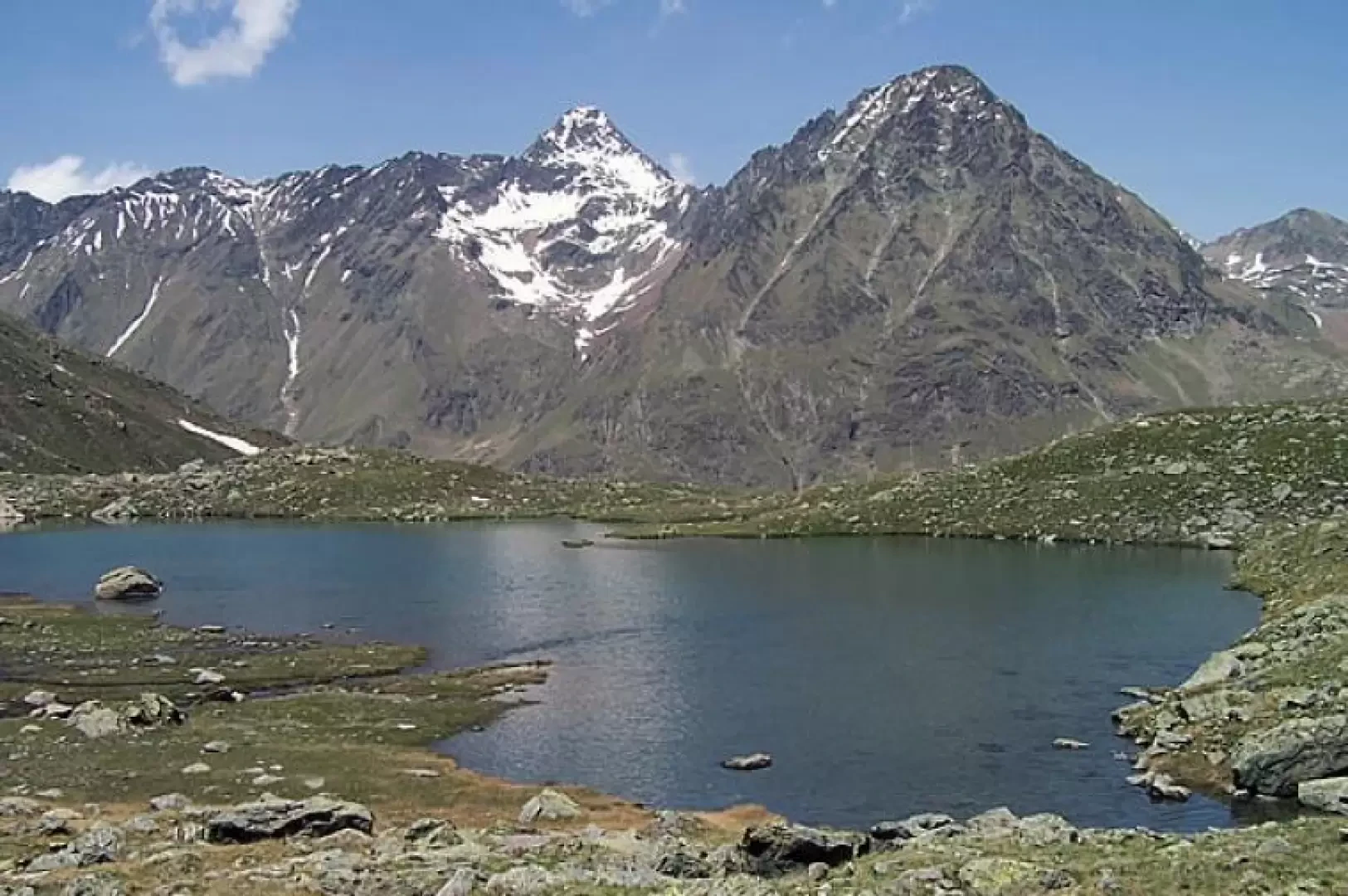
Lake Money, from Gimillan
Access
Leaving the motorway at the Aosta West exit, turn right and take the regional road for the Cogne valley. After passing through the village of Aymavilles, the road enters the valley, passing through the villages of Vieyes, Epinel and Crétaz until you reach a roundabout 20 km after the motorway exit: take the second exit to continue on for 1.1 km to a new roundabout. Take the third exit following the signs for Gimillan. Continue up the communal road for about 1.5 kilometres passing the village of Montroz and, once in Gimillan, continue by turning right onto the small road where, about 200m further on, you can park in the large car park on the edge of the road.
[0h35'] - [24.1km]
- How to get there with GMAPS
- How to get there with Apple Maps
These directions are based on direct verification carried out at the time of surveying the route, so the information should be checked before embarking on the hike. We recommend using a GPS navigator or map app on your smartphone to get up-to-date and detailed directions.
Introduction
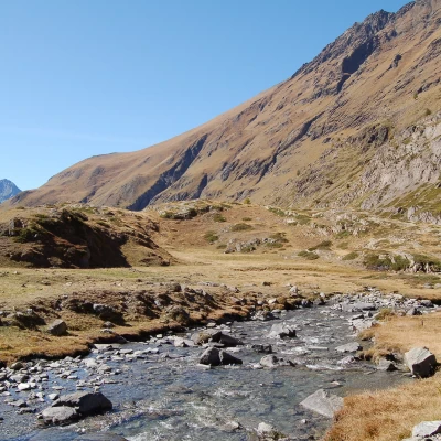
With this hike, you walk along the lower part of the Grauson valley and then enter the lonely, wild basin bordered by the northern ridge of Mont Creya up to the scree slopes that descend from the eastern slope of the Tête Money.
Description
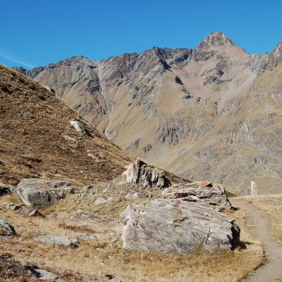
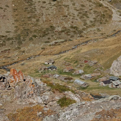
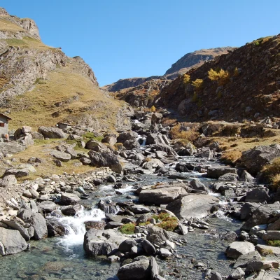
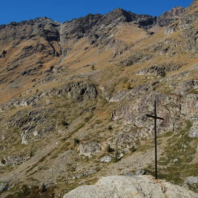
From the car park, walk for a short distance along a tarmac road that does not enter the village but heads eastwards and, after a few dozen metres, you will find the start of the itinerary near a signpost illustrating the paths. At first, climb up a pastureland and, just above, skirt a dirt track; after a few dozen metres, a path branches off to the right that crosses another pastureland just above a mountain pasture next to a small church and heads towards a forest. Continue up and down the hillside, passing in front of a votive shrine and, taking the right-hand fork and paying a little attention to the path that is barely exposed on the mountainside, after a short descent you come to the Tchezeu pastureland (1918 m), where you cross the bridge over the stream and turn left at the next fork to follow the path that climbs gently up the beautiful pastures that reach below a rocky rampart. Climb up the latter on an easy path and begin a traverse that, with short ascents, leads to a plateau where the Crouzet alpine pasture (2244 m) is situated. The trail passes just above this construction to reach a cross located on a small promontory that offers a fine view of the Grivola group and, just a few metres beyond the cross, you will find the crossroads, well signposted by a small post indicating the diversions to the lake on the right.
After a short section that climbs halfway up the hillside with a slight incline above the Grauson desot mountain pasture, the path continues with a few steeper climbs to gain height by circumventing the lower part of Monte Creya and, heading in the direction of the Tête Money, after passing an area of scattered boulders on the grassy bottom it reaches the shores of the lake. From here, the panorama, closed to the south-west, sweeps from north to east from the superb Punta Garin to the Punta di Leppe and the Punta di Laval and Jean-Vert peaks and, climbing up one of the bumps not far away, to the upper part of the green Grauson valley.
.