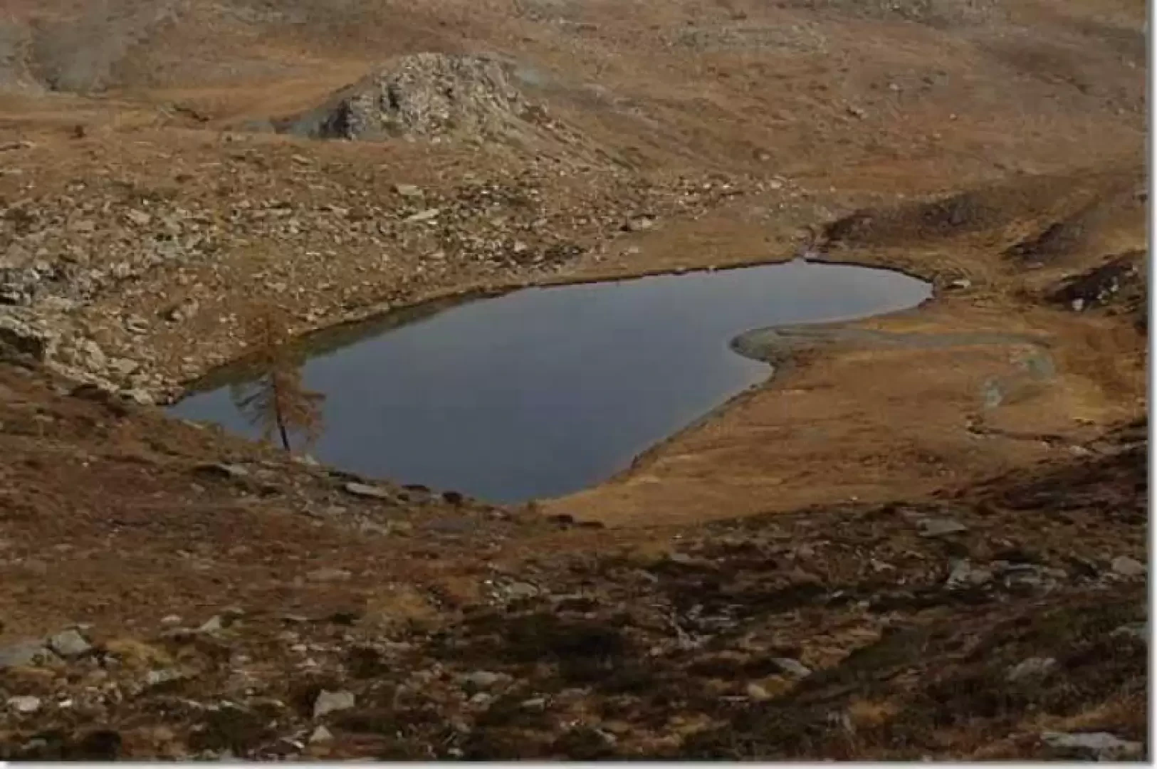
Lake Giasset, from the Lac Muffé car park

Access
Leaving the motorway at the Pont-Saint-Martin tollgate, after 100m turn left to follow the state road in the direction of Aosta. After 500 metres, take the second exit at the roundabout and continue on the state road for 3 kilometres to the next roundabout. Take the second exit and follow the regional road in the Champorcher Valley. Continue on the regional road for 14.7 kilometres up the valley and through the villages of Hône and Pontboset before reaching Château, the centre of Champorcher. Turn right, following the signs for Dondena and climb up the little communal road for about 3.2 kilometres until you reach a clearing 🅿️ near L'Ansermet where you can leave your car.
[0h39'] - [25.8km]
How to get there with GMaps
How to get there with Apple Maps
Introduction
Easy and popular excursion to two characteristic lakes on the south side of the Tête des Hommes and the Gran Rossa. The itinerary is for the most part on an easy dirt road, which can also be partially covered by mountain bike. During the hike, despite the power lines, there are great views of the Rosa dei Banchi and the Dondena plain.
Description
From the car park clearing, proceed along the initially asphalted road. After a few minutes, on the right, you meet the diversions to Col de la Croix, Col Lac Blanc, Col Terra Rossa, Grange Arcomy damon and Barbustel hut. Immediately afterwards, the dirt road is marked with the signpost (9B).
Halfway up the hillside, you proceed under the severe slopes of Mont Ros, passing a few landslides. In front, to the left, there are great views of the Rose des Banques, disturbed, unfortunately, by a couple of Superphénix power lines. Further below, on the left, is the village of Chardonney and the cable car going up to Laris.
After about half an hour from the start, a second mule track, marker (9D), crosses to the right, at the start of which, there are clear signs for Lake Raty. Climb up through a sparse coniferous forest to reach the grassy clearing of Alpe Chapy (1979m).
The path, in places literally covered with animal droppings, turns northwards, climbing steeply to the orographic left of a stream, a tributary of which is the outflow of Lake Raty. On the left, the rocky walls of Bec Raty can be seen.
On leaving the sparse forest, we continue on the track through the grass until we cross the outcropping stones of the path indicating the end of the marker (9D), the beginning of the marker (9C) and the diversions to the right towards Lake Vernoille.
Follow the markings (9C) and after 6/7 minutes you will reach Lake Raty (2283m).
Now, and until the large cairn clearly visible to the south-west on the pass separating the basin of Lake Raty from that of Lake Giasset, follow the rare markings. When you reach the col (2400m), it is suggested that you take in the view over the valley of Champorcher from the large panettone peak, which joins up with Bec Raty, and which can be reached in a few minutes by walking southwards without any obligatory tracks. Pay attention to the incredible quantities of animal droppings deposited.
Returning to the large cairn, descend for a few minutes along the western slope with a beautiful view of Lake Giasset (2308m).
Near the lake, a stone shows the signposts for the trail marker (9A), towards the Gran Rossa. In reality, the path is not marked.
You now descend along the path, signposted (9C), between grassy slopes with beautiful views of Dondena below, leaving the Grangia Giasset (2155m) to the left and following a dirt track, you reach the Dondena hairpin bend.
You now continue to the right for a few minutes to observe the old buildings of Dondena. You will soon come across a votive pillar and, immediately afterwards, a characteristic house with two sides leaning against a rock.
You now return along the wide mule track, which passes, amidst a few landslides, below the south faces of Bec Raty, Bec Barmasse and Mont Ros, until you reach the starting point.