Lake Gabiet, by Ondrè Eselbode


Edited by:
Massimo Martini
Updated at: 05/07/2025
Introduction
Description
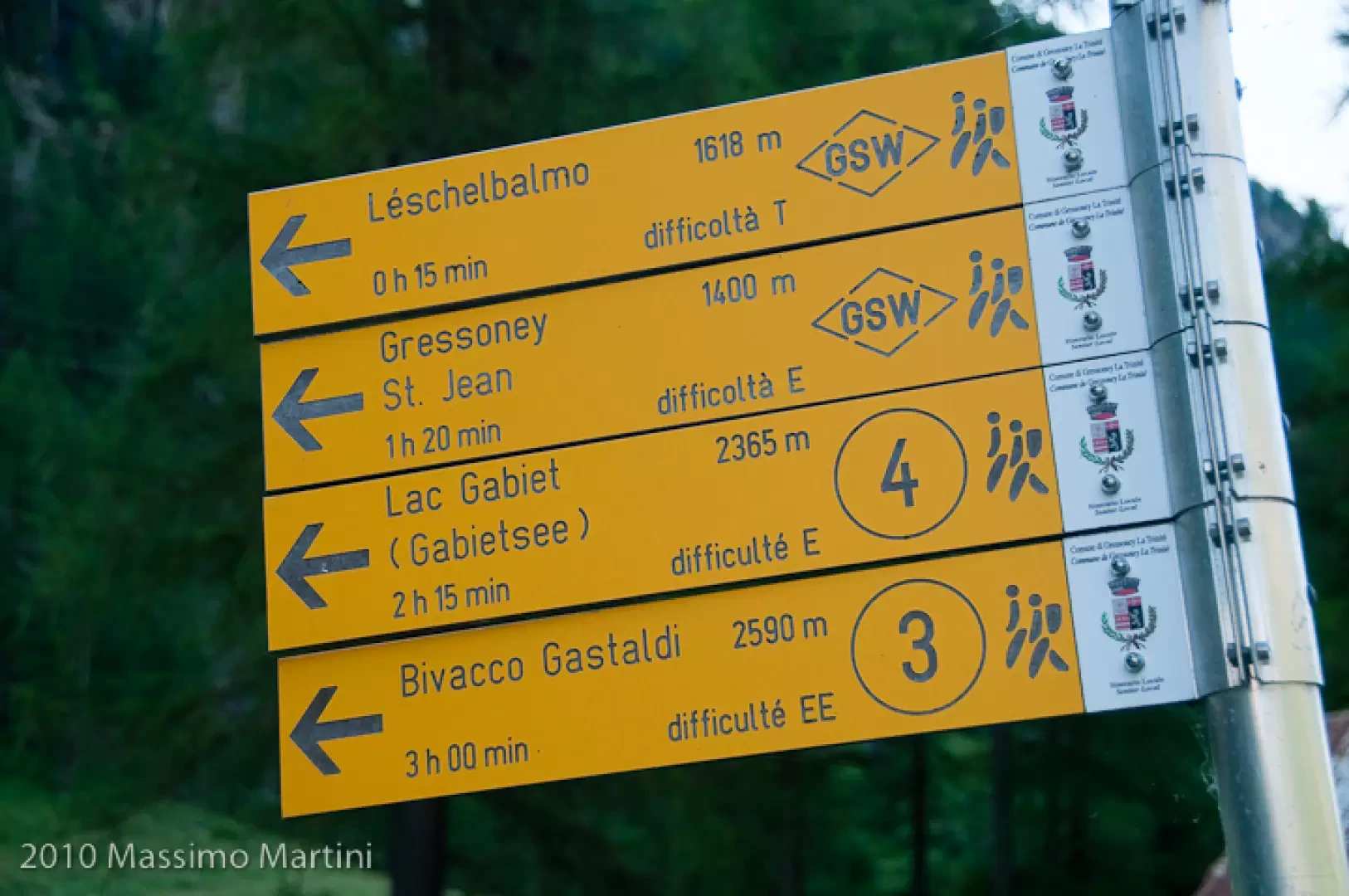
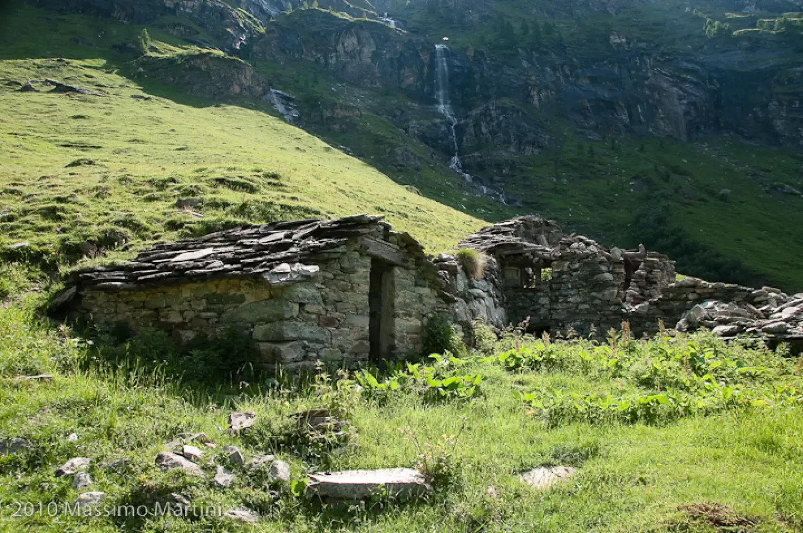
0h00' Leave the car and head towards the signpost indicating path to Lake Gabiet. Take a lane that leads to a few houses and the fork, on the right, of the Great Walser Trail. Disregard the turnoff and proceed on the paved mule track that turns to the right into the larch forest. After a left turn, proceed for a short, almost flat stretch and then start climbing again, entering a beautiful pastureland area. The mule track takes a few turns until reaching the ruins of some hamlets (1702m, 0h15').
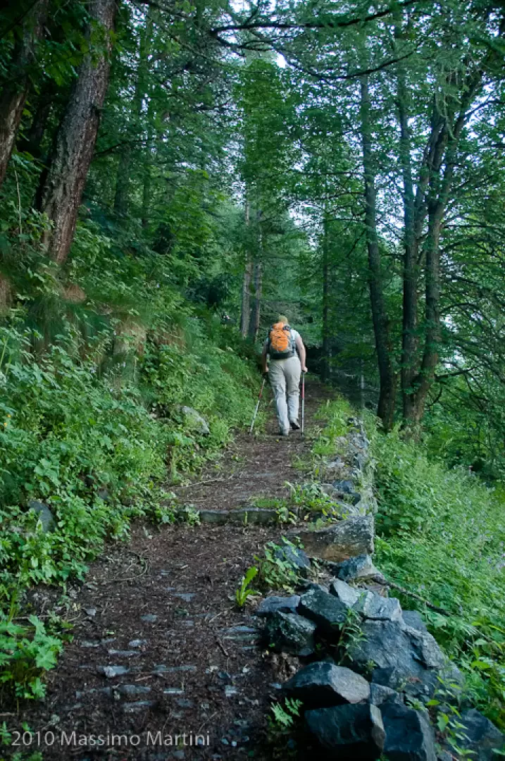
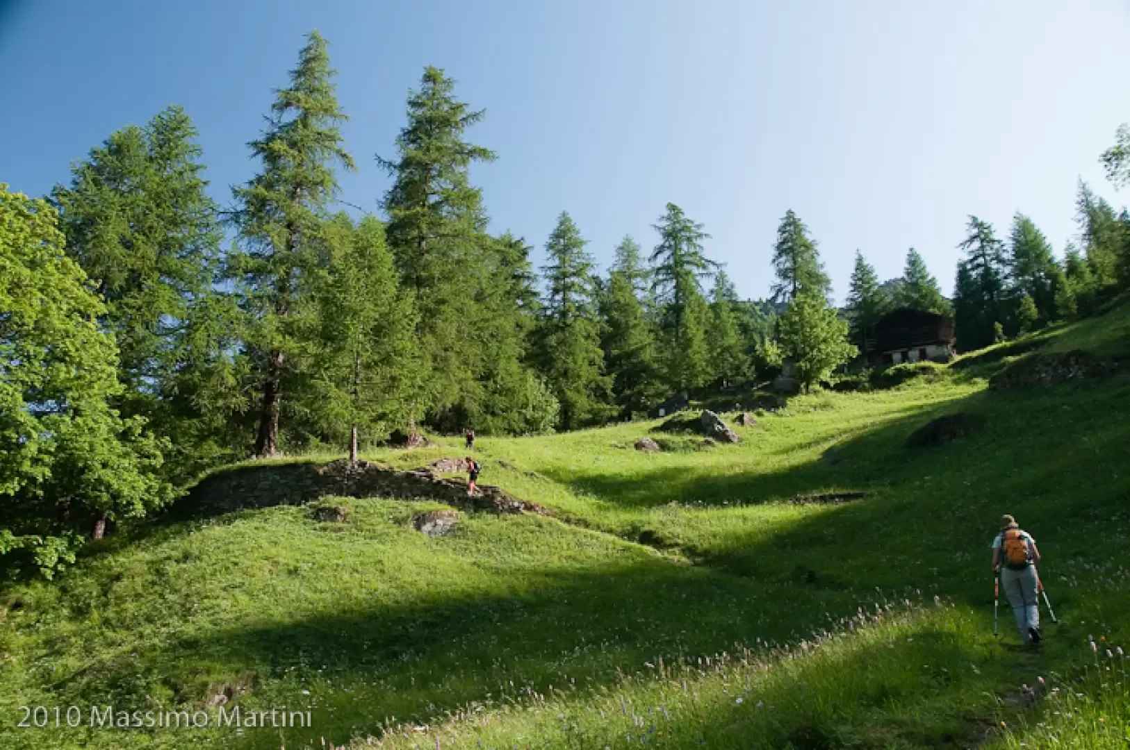
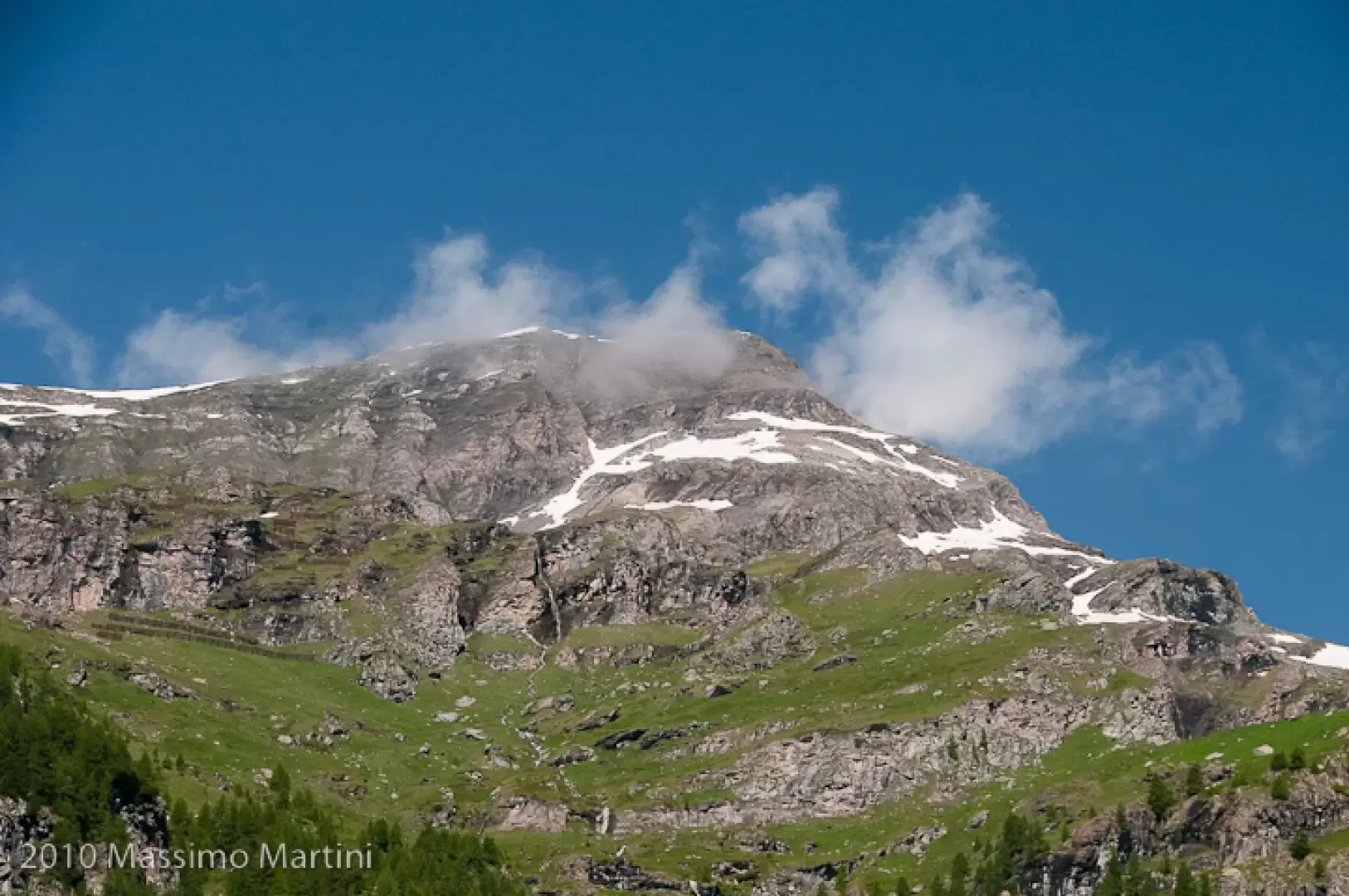
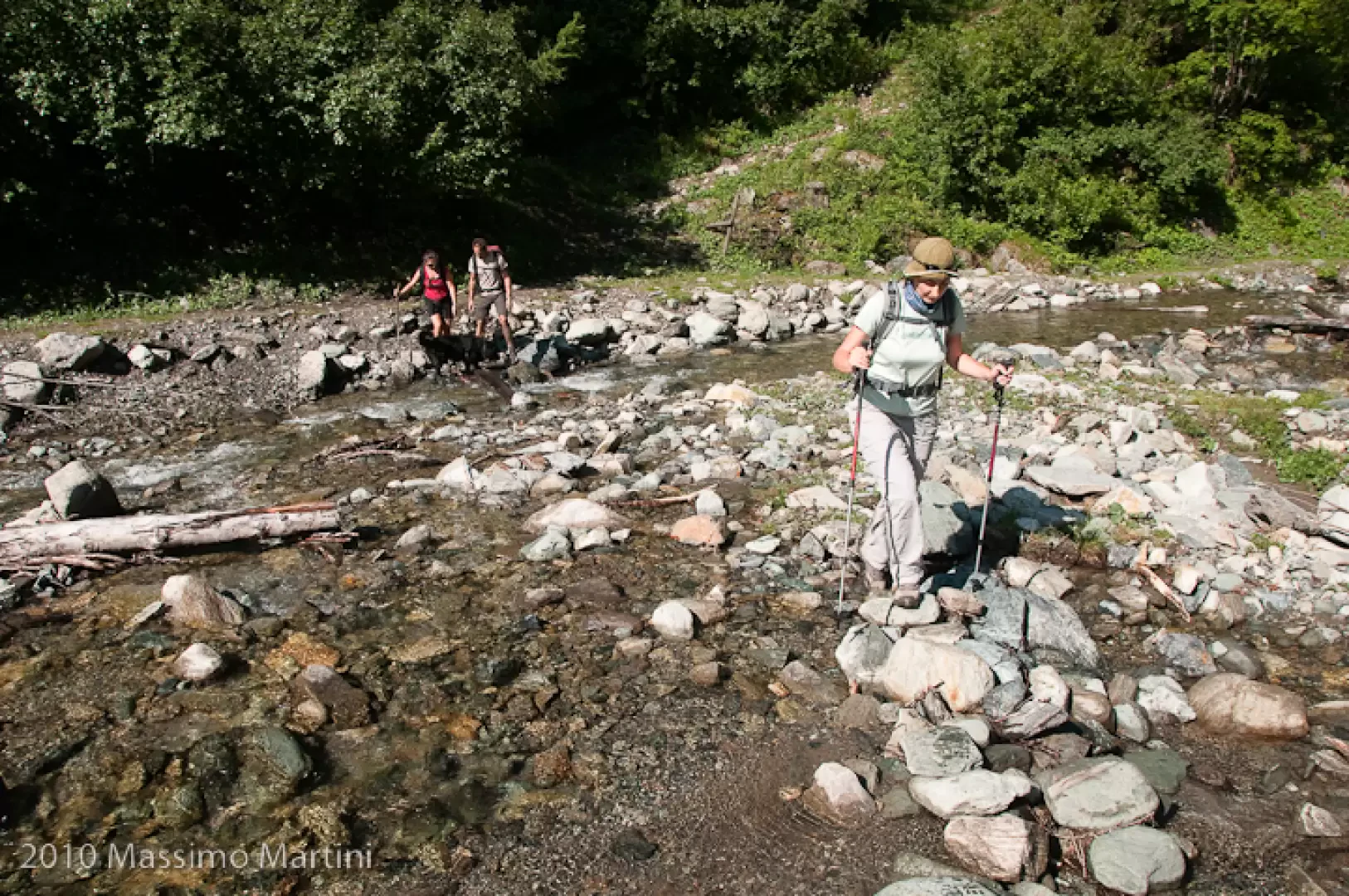
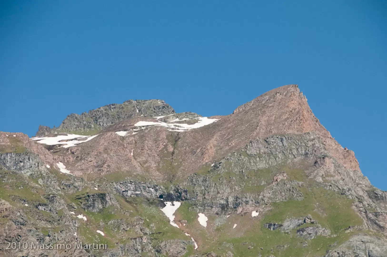
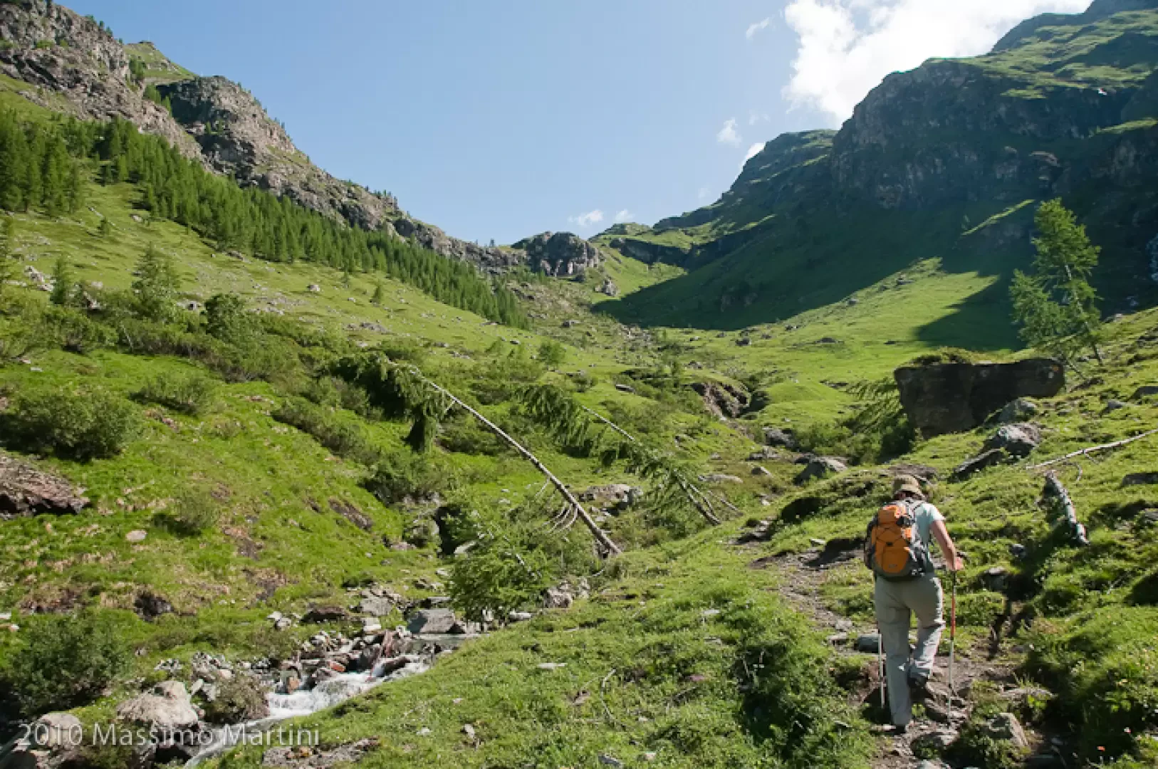
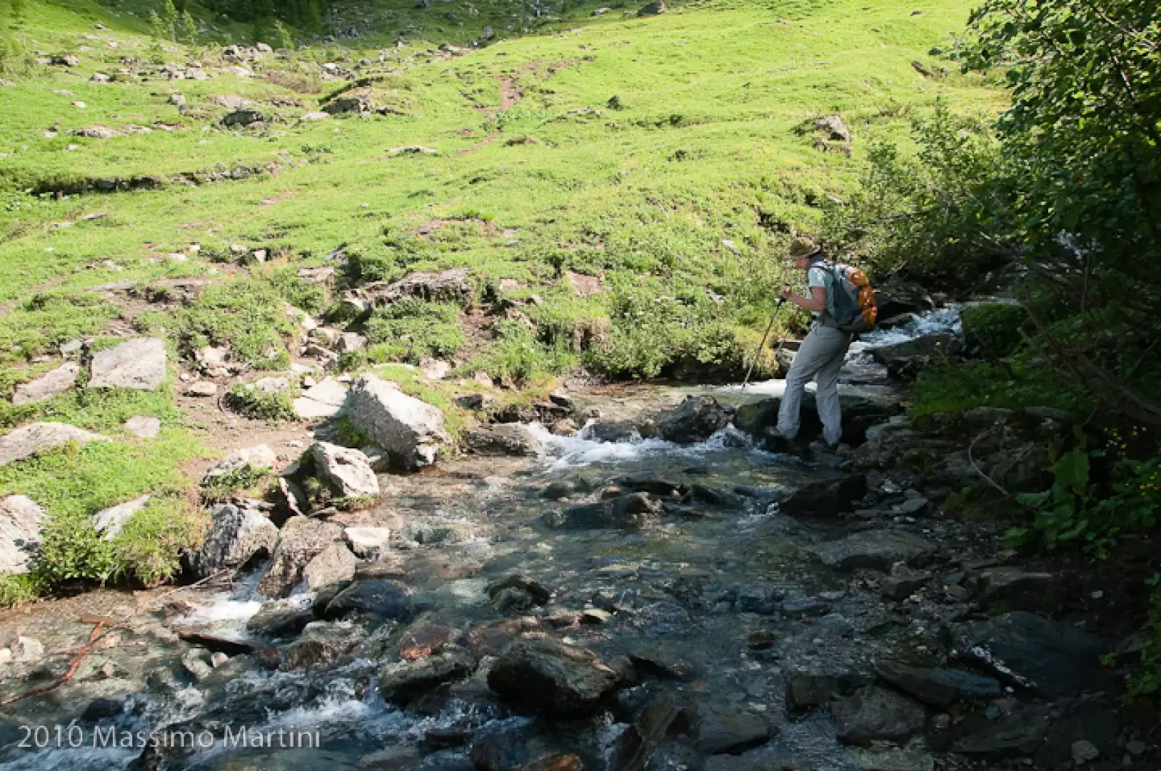
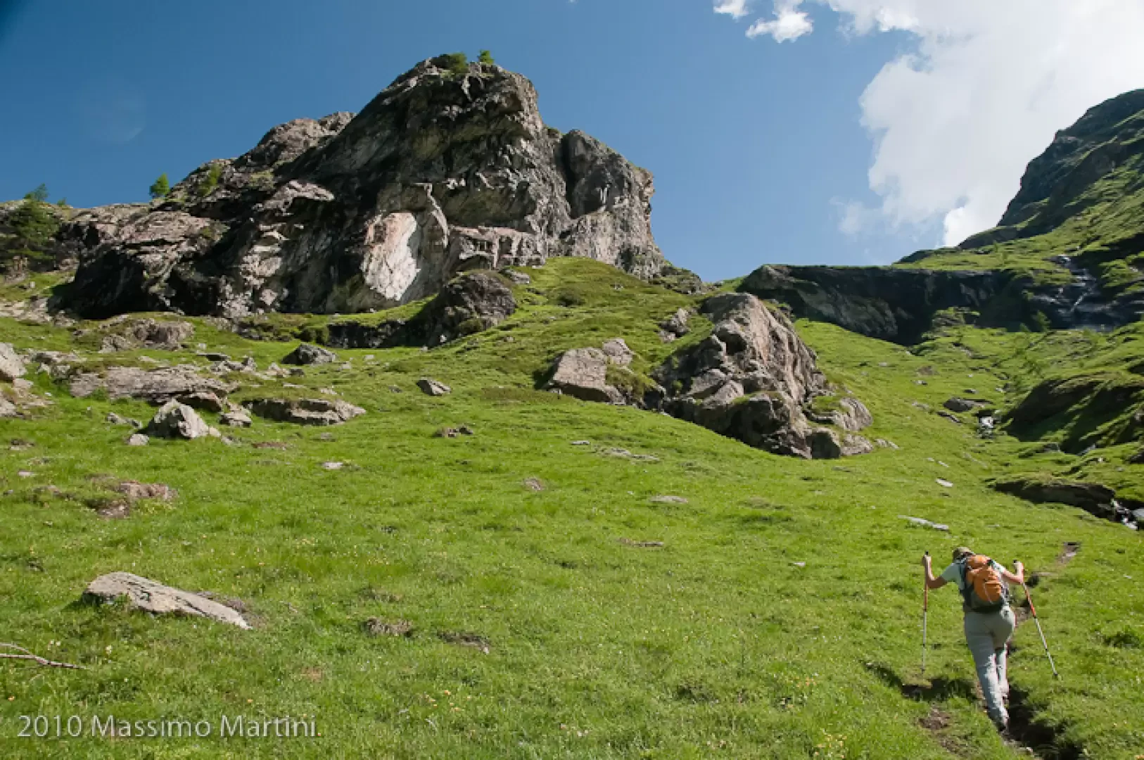
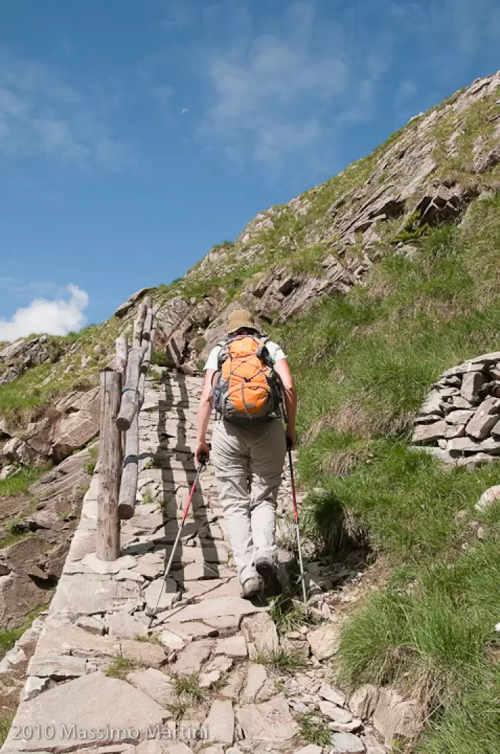
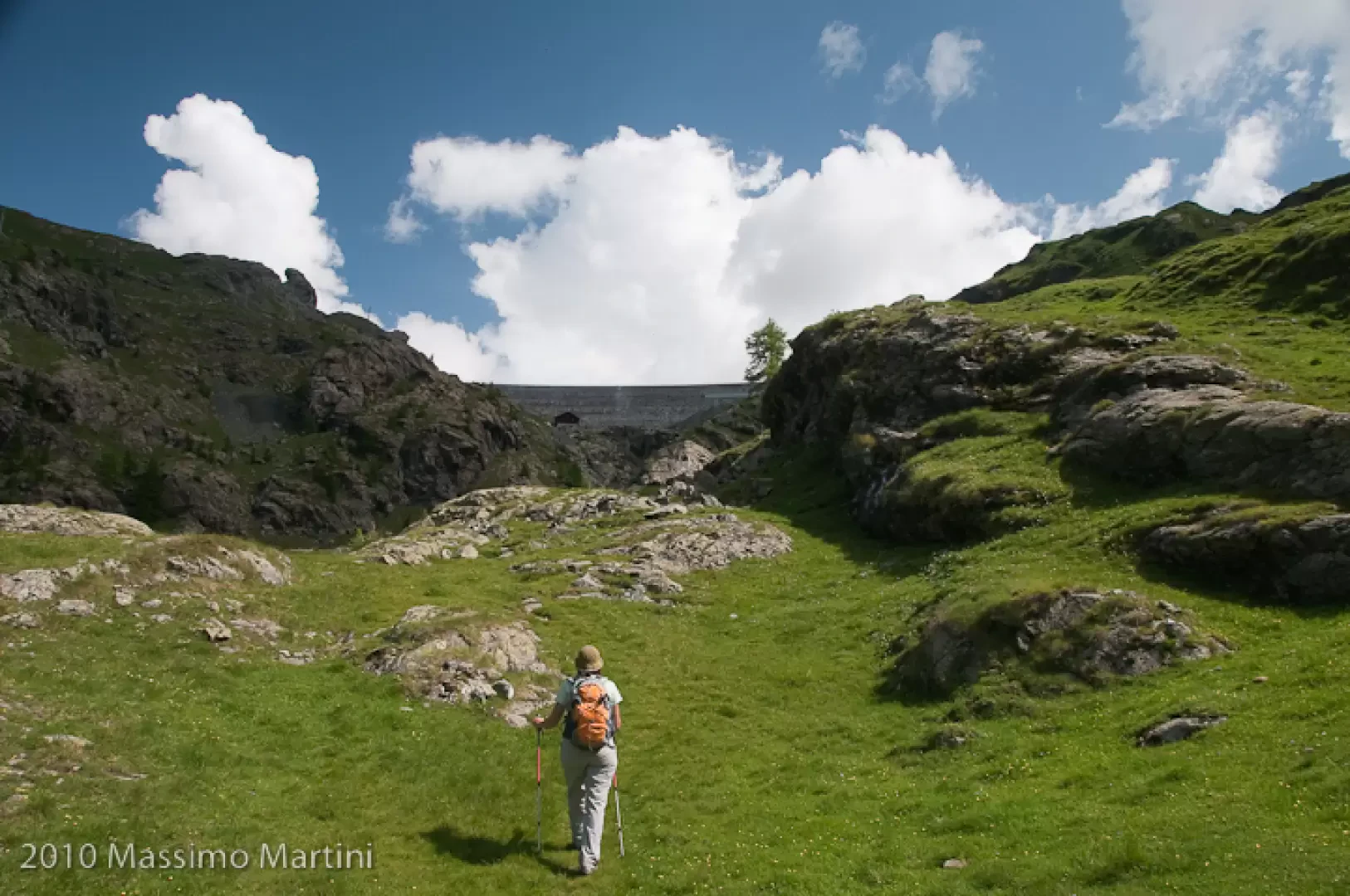
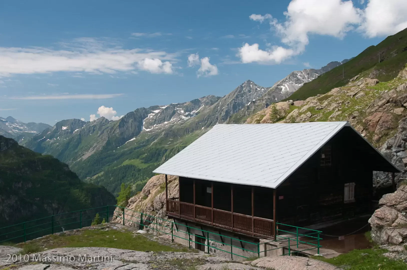
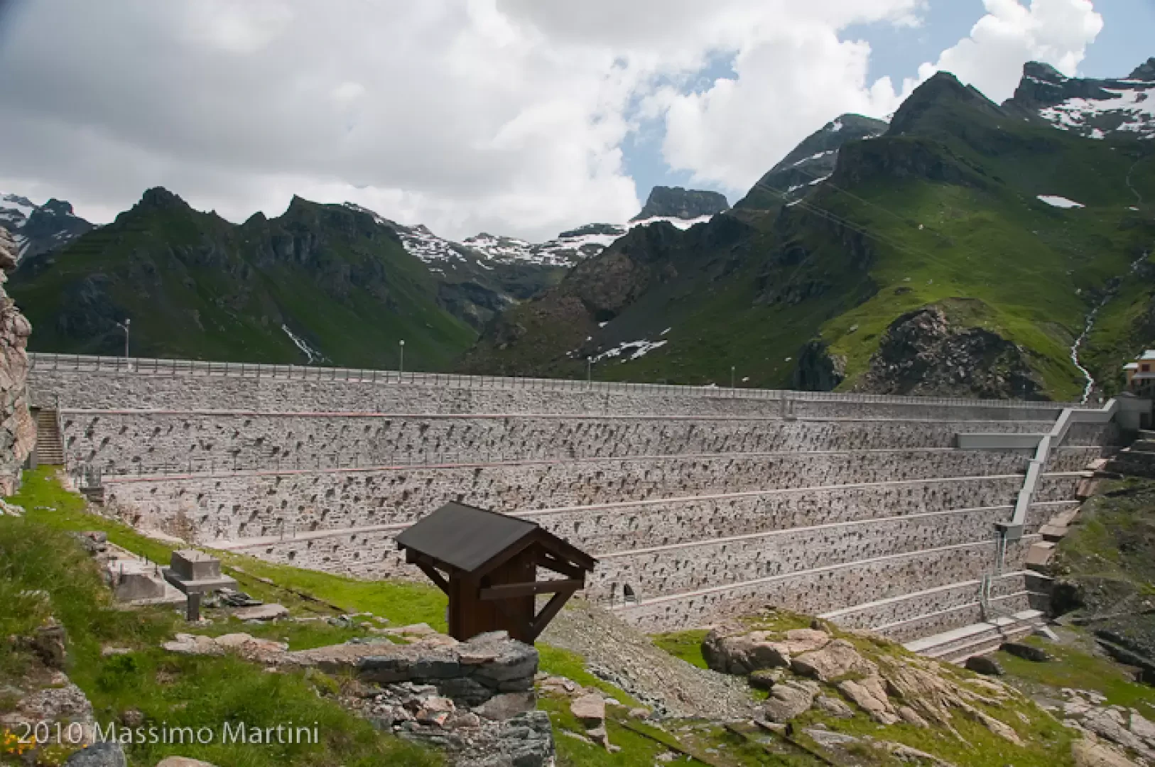
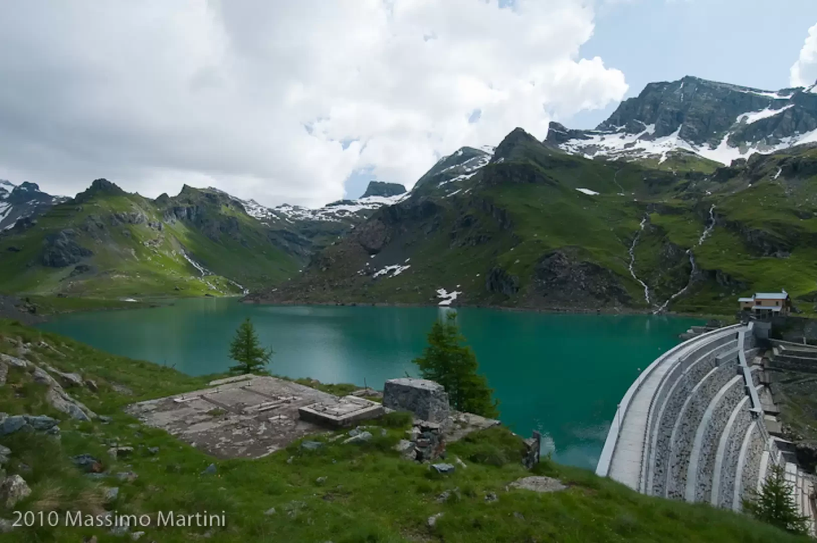
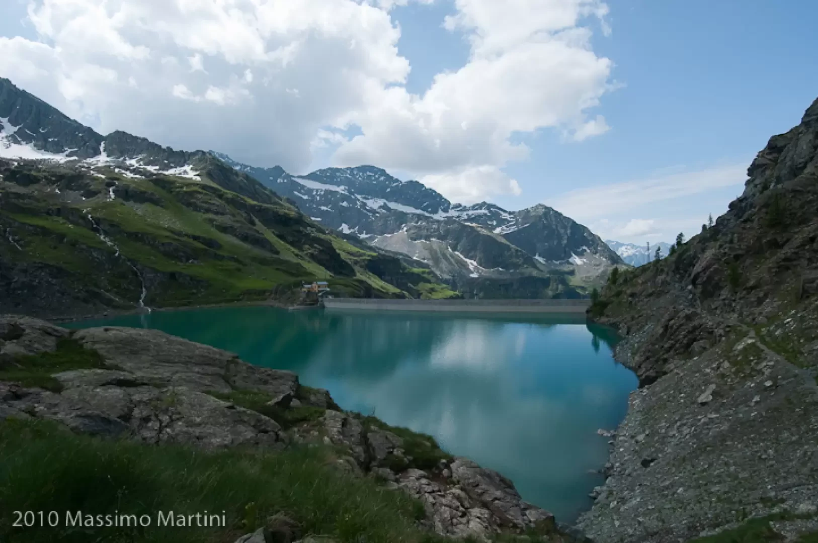
0h15' After crossing the old hamlet, head back into the wood, beginning to skirt the Ruessobach. After passing a path that branches off to the left over a small bridge, you enter the wide Gabiet valley, skirting the stream until you cross its tributary, the Netschòbach. Having forded the stream (it can be a little challenging in hot weather due to the greater inflow of water caused by the melting snow), continue into the valley for a short flat stretch, leaving the Ruesse pastureland (1879m) to the right. Leaving the stream on the left, make a slight turn to the left as the path begins to climb again: it is worth turning around to enjoy splendid views of the Testa Grigia and the Rothorn. A few turns precede the arrival at Spésse (1974m). Still keeping to the middle of the wide valley, continue the ascent until crossing the Ruessobach again on a simple ford. Now head resolutely towards the rocky knoll that occludes the gorge. After gaining height with a few bends, continue leaving the knoll to the left before turning sharply to the left up a short stretch of paved mule track that leads to the upper part of the gorge. Now in sight of the barrage, continue along the meadow, following the path, which is always evident and well signposted, that takes you to the left orographic slope, first crossing a meadow and then a landslide that, once overcome, brings the hiker to the foot of the imposing barrage. After meeting the junction for the Gastaldi bivouac, trail to the right... to be ignored, continue to the left towards the CVA power station and, with a couple of turns, to the CVA signposting panel where trail joins trail . Now proceed in a northerly direction until you come to a peak above the dam: the path continues straight for a short distance and then turns left, losing some altitude towards the reservoir. Continue on path , which skirts the lake for a flat stretch and then again loses a few dozen metres with some not-so-easy turns. The last section of the path is flat again, and after passing a scree slope you reach the grassy border of the lake and the second dam with its signpost. The return journey is along the same route as the outward journey (1h15').
External Connections
Galleria fotografica