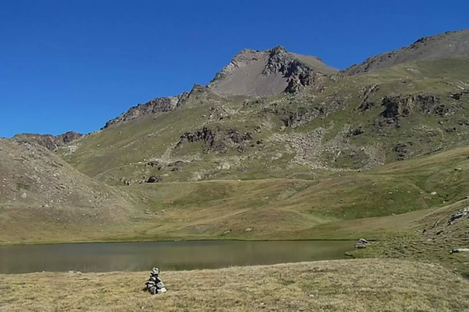
Lake Corona, from Gimillan

Access
From the motorway barrier at Aosta-West keep to the right and take the regional road for the Cogne valley. After passing through the village of Aymavilles, the road enters the valley, passing the villages of Vieyes, Epinel and Crétaz until you reach a roundabout, 20 km after the motorway toll booth: take the second exit and continue along for another 1.1 km until you come to another roundabout. Take the third exit following the signs for Gimillan. Drive up the communal road for about 3 kilometres passing the village of Montroz and, once in Gimillan, at the crossroads keep to the right and continue for about 200 metres until you come to a large free car park 🅿️ located on the right-hand side of the road. Once you have left your car, drive to the fountain 💧 where there are signposts with directions for all the routes in the Vallon de Grauson.
[0h35'] - [24.1km]
- How to get there with GMAPS
- How to get there with Apple Maps
These indications are based on direct verification carried out at the time of surveying the route so the information should be checked before embarking on the hike. We recommend using a GPS navigator or map app on your smartphone to get up-to-date and detailed directions.
Introduction
Introduction A pleasant hike through pleasant valleys and picturesque alpine pastures that end in the extensive Grauson high valley dominated by the unmistakable Tersiva pyramid.Description
Leaving the car behind, we set off along a small road that branches off to the right and leads immediately to the starting point of our excursion (large panel with directions for the various climbs). Leaving the village, we climb up the grassy slopes until we reach a dirt track, which we follow briefly to take the mule track again. Climbing at times flat and at others slightly uphill, it passes to the right of a ridge and continues above the overhanging crags of the lower Grauson valley. After a stretch halfway up the slope, descend a little towards a bridge, which is crossed near the Ecloseur huts (1903m), meeting a crossroads, with signposts. Take the path to the left, which continues without an excessive incline in a grassy expanse, at the end of which, with numerous bends, it climbs a rampart above the Pila alpine pasture and then continues on a slope towards the Crouzet alpine pasture (2244m). The trail now climbs into a small valley and then turns eastward to cut across a steep larch slope. When you reach a ridge surmounted by a cross, descend a little in the direction of the pastureland of Alp Grauson Desot (2,273m), which you leave to the left and continue to the right of a gorge, crossing the Doriere stream over a small bridge. At the fork a little further on, keep to the left (marker), which touches a clearing and then climbs in almost the opposite direction to the one followed so far. You pass by a hut to cross a rib of pastureland and with a short diagonal you reach the Grauson Dessus alpine pasture (2540m) dominated by the imposing mass of the Punta di Leppe. Directly in front of the alpine pasture is yet another signpost indicating that we should continue to the right to climb up a steep grassy ridge; at the end of the ascent, a puddle of water surrounds us on the right and, after a short, almost flat stretch, we begin to climb again at a modest gradient. Above this ridge of pastureland, one leans to the left over the bumps that precede the grassy basin occupied by the picturesque Corona Lake.