Lacs Dorèire, from Gimillan
Access
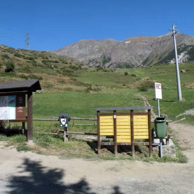
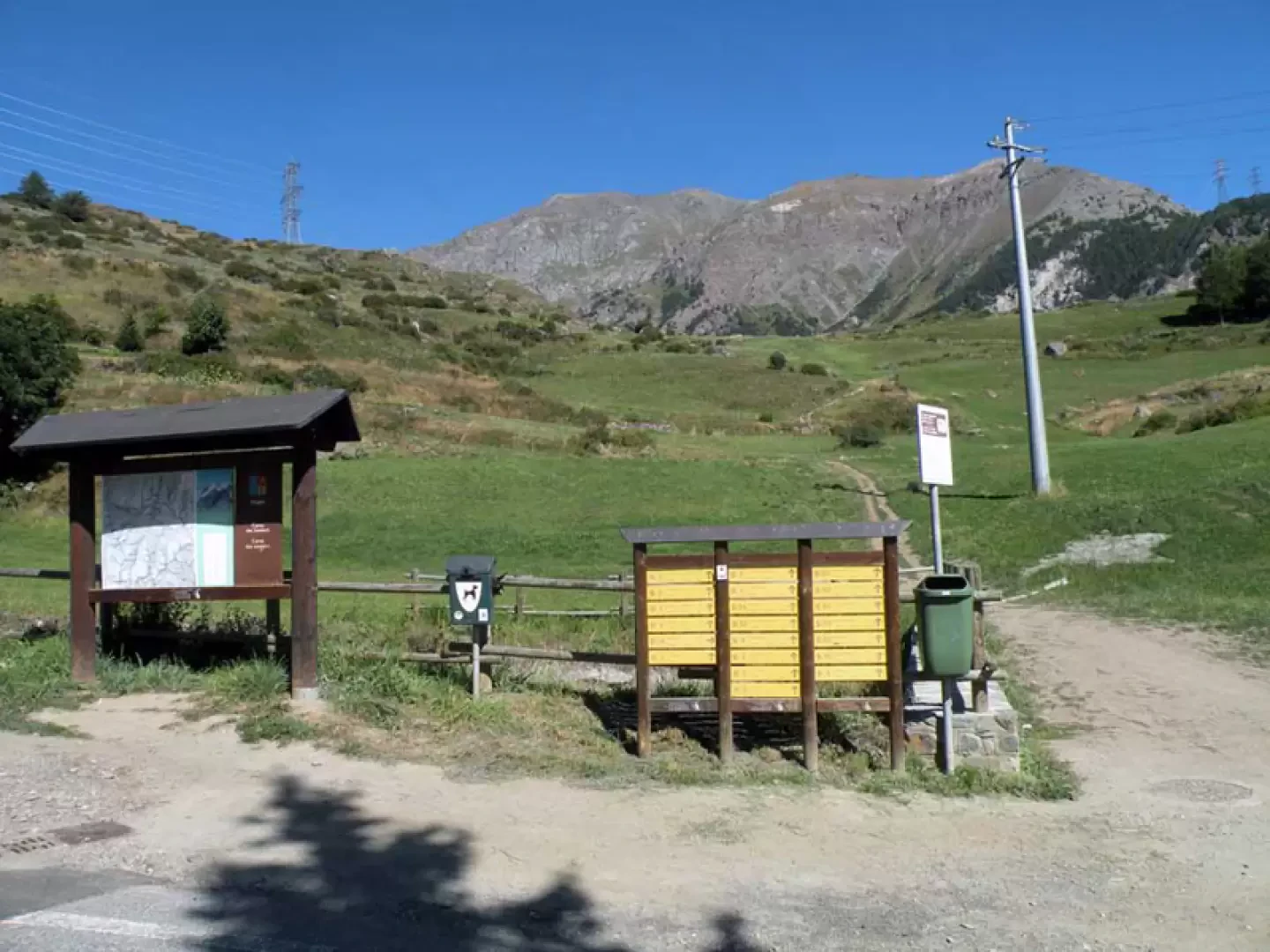
From the motorway barrier at Aosta-West keep to the right and take the regional road for the Cogne valley. After passing through the village of Aymavilles, the road enters the valley, passing the villages of Vieyes, Epinel and Crétaz until you reach a roundabout, 20 km after the motorway toll booth: take the second exit and continue along for another 1.1 km until you come to another roundabout. Take the third exit following the signs for Gimillan. Drive up the communal road for about 3 kilometres passing the village of Montroz and, once in Gimillan, at the crossroads keep to the right and continue for about 200 metres until you come to a large free car park 🅿️ located on the right-hand side of the road. Once you have left your car, drive to the fountain 💧 where there are signposts with directions for all the routes in the Vallon de Grauson.
[0h35'] - [24.1km]
- How to get there with GMAPS
- How to get there with Apple Maps
These indications are based on direct verification carried out at the time of surveying the route so the information should be checked before embarking on the hike. We recommend using a GPS navigator or map app on your smartphone to get up-to-date and detailed directions.
Introduction
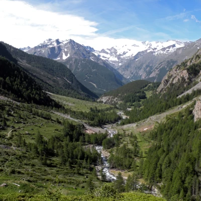
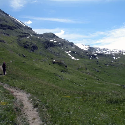
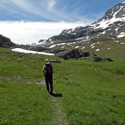
A very long excursion that allows you to walk the entire length of the Grauson valley from Gimillan to just below the Invergneux pass and also very busy at least until the fork to the upper Grauson. The predominant feature of this hike is the green pastures and mountain slopes that accompany us to the shores of the lakes, and also the solitude of the last part of the route where only the whistling of marmots breaks the silence of the valley. The high Grauson valley is constantly dominated by the Tersiva, which, however, remains hidden once we reach the lakes.
Description
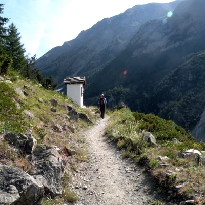
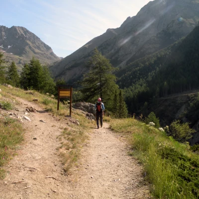
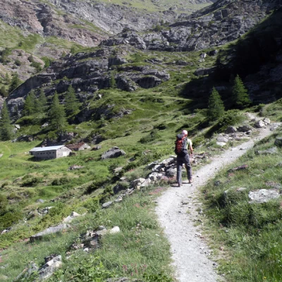
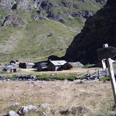
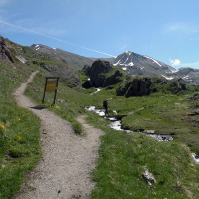
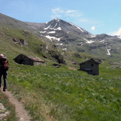
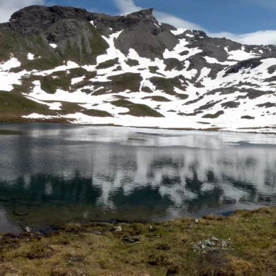
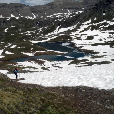
Leaving the car behind, we set off on a small road that branches off to the right and leads immediately to the starting point of our hike (large board with directions for the various climbs). From here, climb up the grassy slopes until you reach a dirt road, which you follow for a short time to rejoin the path that passes above a ruin and then in front of a small chapel (1900m); climbing now on the level and now slightly uphill, keep to the right at a fork (1924m) and contour to the right to a ridge that continues above the crags overhanging the lower Grauson valley. After a stretch halfway down the slope, descend a little towards a bridge that you cross near the Ecloseur huts (1903m), meeting a fork in the road with signposts. Take the path to the left, which continues without an excessive incline in a grassy expanse, at the end of which, with numerous bends, it climbs a rampart above the Pila alpine pasture and then continues towards the plateau of the Crouzet alpine pasture (2244m). The trail now climbs into a small valley to turn eastward and cut across a steep larch slope. When you reach a ridge topped by a cross, descend a little in the direction of the pastureland esplanade of Alp Grauson dèsot (2273m), which you leave on the left to continue to the right of a gorge, crossing the Dorèire stream on a little bridge. Walk alongside the stream to arrive at a fork signposted by a marker (2399m) and take the track to the right that cuts across the slope to reach the Pralognan alpine pasture (2416m); the track now continues on the mountainside, rising slightly and continuing halfway up the gorge without an excessive incline. At an altitude of 2,515m, the trail passes the Eveilleres chalets and, approaching the crags towards the bottom of the valley, bends slightly to the right to cross a stream on a small bridge and then climbs a few grassy rises. Passing between some of these, the trail arrives at the lowest and largest of the Dorèire lakes, while to reach the other three, which are much smaller, it is necessary to climb up the trail for a hundred metres in altitude, finding them at 2,774m, 2,829m and 2,844m respectively.
