Pizzo Pioltone
Introduction
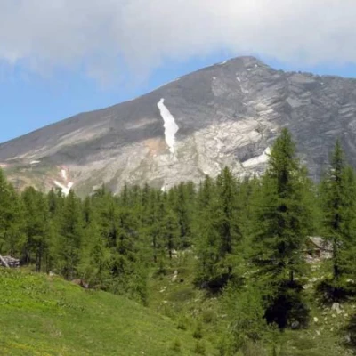
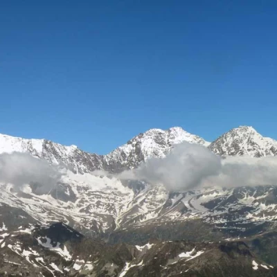
The excursion to Pizzo Pioltone is a beautiful ring-route that allows us to climb up and around the upper Bognanco valley, passing through beautiful woods and enjoying magnificent views of the peaks of the basin and above all of the 4000-metre Swiss mountains immediately north of the border. From the ascent towards the ridge and of the ridge itself, the slope is very steep and the progression is made even more strenuous by the loose stones and stones found on the steep path that gives no respite until the summit.
Description
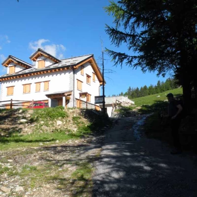
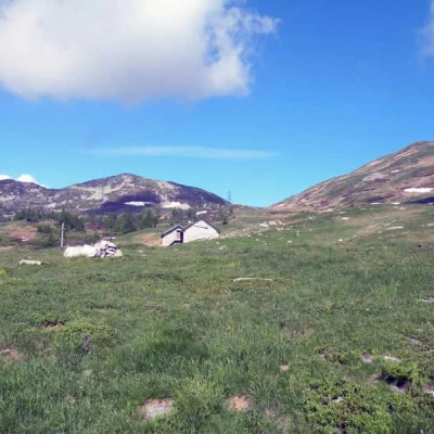
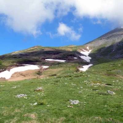
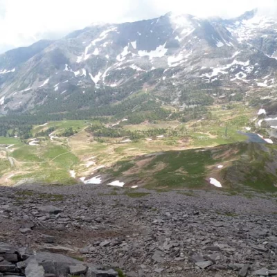
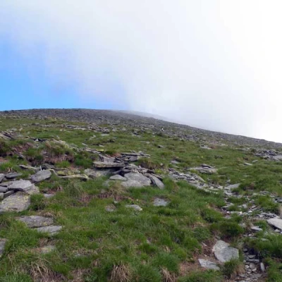
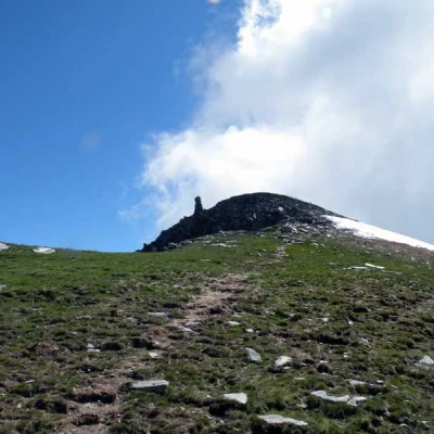
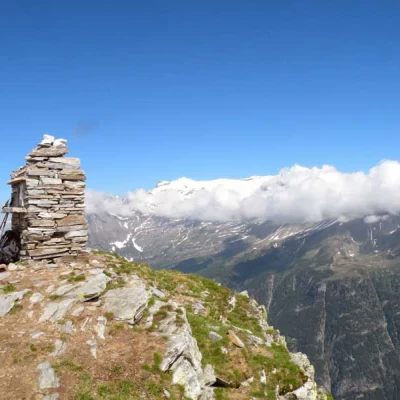
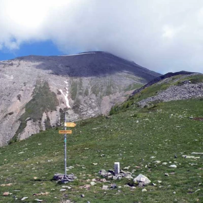
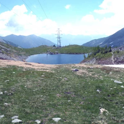
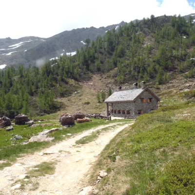
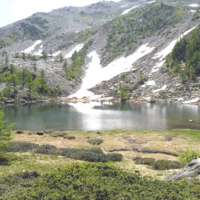
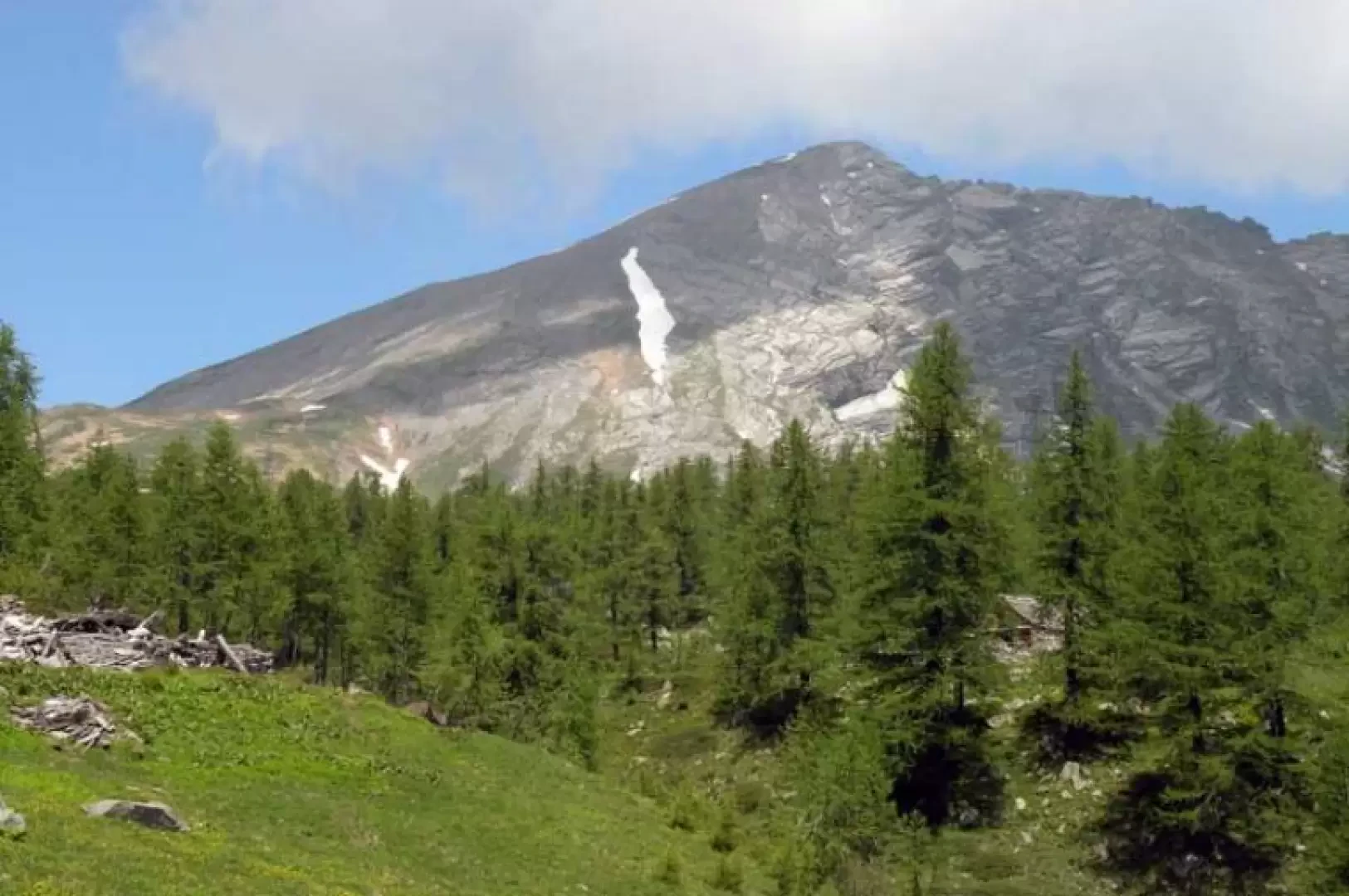
From the car park, take the road that, to the right of the little church, enters the woods and you will immediately come to a fork signposted by posts at which you continue to the right, descending a little until you cross a bridge and immediately after a post where, having left the path that enters the woods, you continue along the road. After a few minutes you come in sight of the Il Dosso hut (1736) located near the Arza alpine meadow and, staying on the dirt road, you leave two paths to the right to arrive in increasingly open spaces from where you can already see the destination of the excursion ahead. Crossing green pastures, you pass by Alpe Monscera (1989 m) and when you get close to a gully that descends from the side of the mountain, you start to climb to the left without any obligatory path on steep clumps of grass, aiming at the ridge and more precisely at a collar to the right of a clearly visible cross placed on a small point;the ridge can also be reached by reaching the Monscera pass and then taking the path on the right that, following the easy ridge, reaches the little point with the cross, but in this case you must allow at least half an hour more. From the ridge, a track can be seen on the right and from here the ascent becomes steeper and climbs almost on the edge of the ridge and directly without hairpin bends; the steep slope remains constant until almost the summit and the progression is tiring due to the ground composed of loose stones and fine gravel. A little below the summit, the track moves a little to the left to gain a wide shoulder from where a large cairn can be seen on the anticima; go around the peak to the right and you will soon reach the cairn located on the summit. Following the ascent itinerary, return to the small cross at the beginning of the ridge and continue along the easy grassy ridge until you reach the wide crest of the Monscera pass (2121 m), where you will find a marker and a cairn of stones. From this point, descend towards the small lake below following a path that skirts it on the right and, having passed it, descend again to reach a dirt track (2028 m) at which you continue to the right and shortly reach the Gattascosa hut (2007 m). We continue our descent and, following the direction of the markers, we skirt the beautiful Ragozza Lake (1975 m) nestled between stony slopes and then walk through a beautiful coniferous forest, rapidly losing altitude; we cross a grassy clearing and, after another short descent on the path, we cross a mule track (1689 m) at some markers where we turn left, arriving shortly at the San Bernardo hut located at the second car park. Photo gallery
