Pizzo Paradiso
Access
From Milan to Morbegno along state roads 36 and 38; at the roundabout at the entrance to the town turn right in the direction of Valgerola and continue until just beyond the village of Gerola Alta. Park at the valley station of the ENEL cableway to Lake Trona.
Introduction
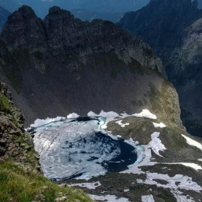
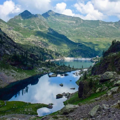
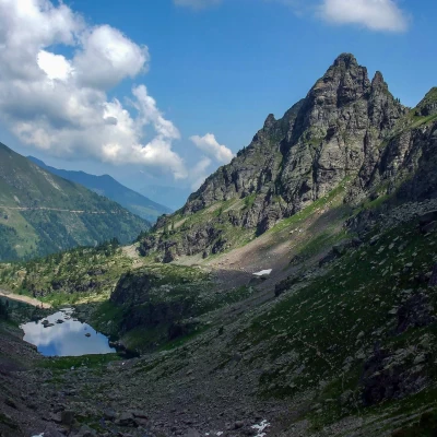
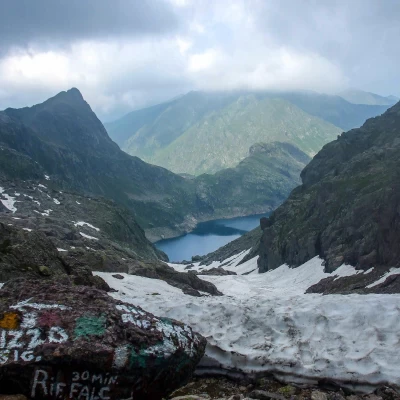
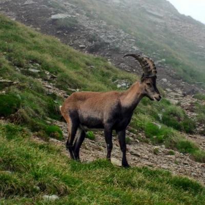
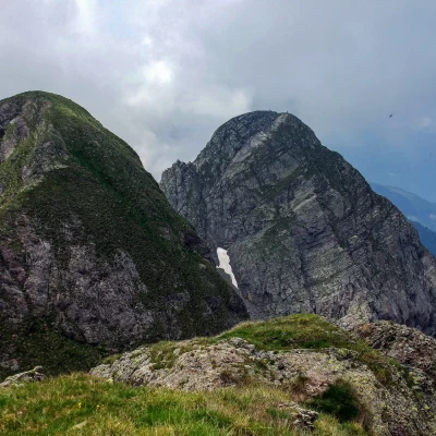
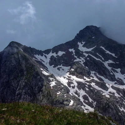
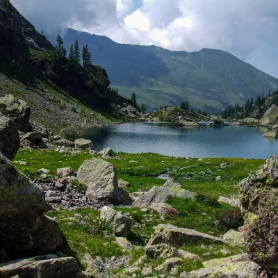
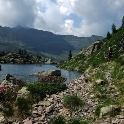
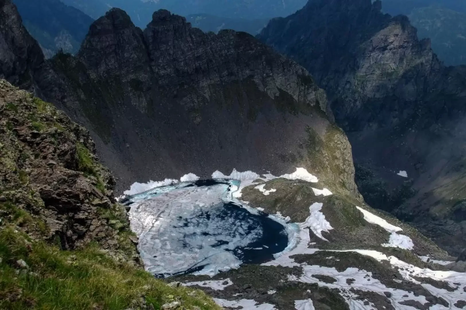
A very varied excursion which, with the expedient of reaching an easy and unknown secondary peak, allows you to cross a series of very picturesque environments characteristic of this corner of the Orobie: natural and artificial lakes (but not too "intrusive" to the eye), rocky pinnacles of conspicuous red conglomerate, small pastures suspended between the stones with showy flora and fauna (an encounter with ibexes is practically certain).
NOTE: -the cartography and the scarce publications concerning this area are deficient to say the least, when not definitely wrong or of subjective interpretation. -the difference in altitude indicated in the card is schematic and decidedly reductive compared to reality: wide ups and downs and a conspicuous loss of altitude in Bergamo territory increase it by a few hundred metres.
Description
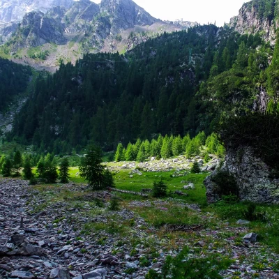
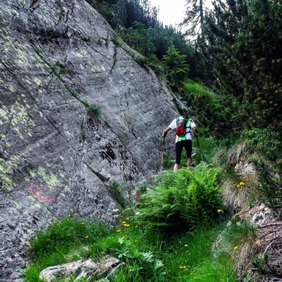
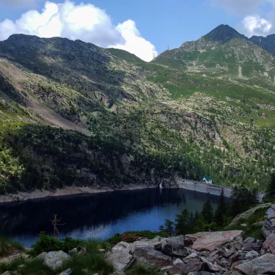
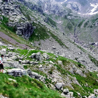
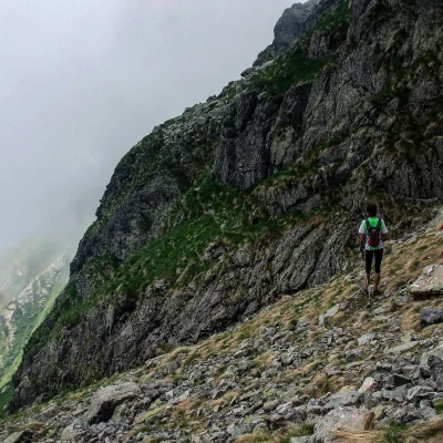
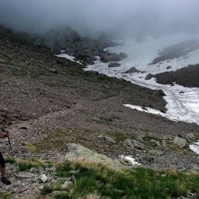
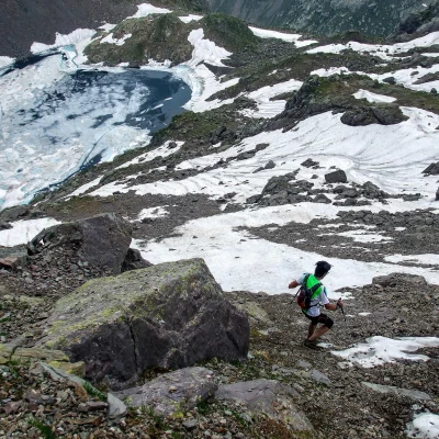
From the ENEL cable car station 1087m, take the obvious path which, passing initially between some mountain huts, heads into a fir wood until you reach a dirt track that leads into the Valle della Pietra; at two mountain huts 1250m, a bridge allows you to cross the stream: a path continues along the other bank between rhododendrons and sparse trees. Having overlooked a fork to the right (a vandalised post with no indications), the track winds its way up the valley until it reaches a pasture basin with the ruins of an old hut camouflaged among the blocks of rock; a sort of straight corridor between a wall of mounded rocks and a wood of mugho trees leads to the service stairs that go up to the guardian's house of the Trona dam 1805m. Once past these buildings, you come to a shelf overlooking the waters of the lake and take a wide, stony track uphill to the left: after a few dozen metres, you can see some faded paint markings that - to the right - lead to a convenient path coming from Val Tronella. Follow it up and down towards the bottom of the Valle di Trona through the ferrous rubble dumps of ancient mines; after passing the small Lago Zancone, at a sharp ascent, you reach a fork: to the right, leave the path for Lago Rotondo (direction of return) and continue along the stony ground to the wide creek of Bocchetta di Valpianella 2224m (locally indicated as Bocchetta di Trona). Here you join path no. 101 (a sort of Alta Via della Val Brembana) and follow it to the right along the ridge of Pizzo Giarolo: having reached a shoulder at 2304m with a high stone cairn ("matoc"), you begin to descend on the Bergamo side along a traverse in the steep stony pastureland. At a crossroads, continue to the right in the direction of "P3S" (Pizzo dei 3 Signori), continuing along the traverse, which becomes more impervious and exposed among rocks and gullies, until you enter the wide gully of the Valle d'Inferno: a peaceful ascent along a good track in the scree leads to Bocchetta d'Inferno 2306m, a crossroads of paths between the Val Brembana, the Valgerola and the Pizzo dei 3 Signori. Leaving aside the more obvious tracks, we ascend the rocky slope to the right, which soon leads to the unexpected pastureland of Bocchetta Paradisino (ignored by maps and guides, even recently published ones): permanent home to a small group of very confident ibex. A few steps to the right lead to the wide grassy dome of Pizzo Paradiso 2493m: beautiful views of the valleys we have just crossed, the lakes and the very close Pizzo dei 3 Signori.
For the return trip, once back at Bocchetta Paradisino, descend cautiously along a gully of rocks and very loose stones to Lake Rotondo 2256m below: here a discreet track takes you back to the junction marked along the ascent to Bocchetta di Valpianella; briefly follow the ascent route and then, avoiding staying at altitude through the mining dumps, it is convenient to reach the stream at the bottom of the valley that is the tributary of Lake Zancone. A good little path closely follows the waters of the two lakes (Zancone and Trona), making it possible to shortly reach the service buildings of the Trona dam. From here, finally, along the outward path.
General Information
Trail:
Signposts:
Type of route: Partially Circular
Recommended period: June, July, August, September, October
Exposure to the sun:
Objective hazard:
Exposed sections: long stretches of path 101
