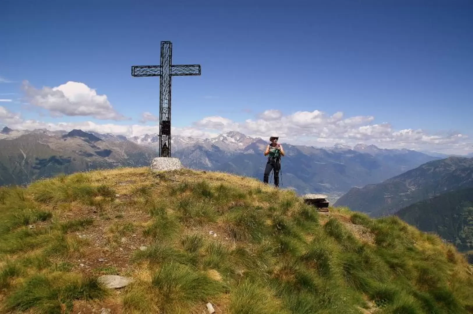
Pizzo di Olano

Introduction
Beautiful excursion that, taking advantage of a section of the little-used GVO (Gran Via delle Orobie) trekking on the "Sentiero Andrea Paniga", leads from the slopes of the Cima della Rosetta - Rasura's landmark mountain - to the picturesque Olano valley to its high point Pizzo di Olano. Passing through fat pastures still well stocked with cattle and goats, you reach the panoramic summit with extensive views over the entire lower Valtellina, Lake Como and Valchiavenna. Very wild is the environment of the unusual return route.
.Description
From the Bar Bianco car park, 1506 m, follow the sparse painted signs up the steep pastureland slope to the visible huts of the Casera Alpe Culino 1650 m; continue through the pastureland and keeping slightly to the left as far as the Baita del Prato with the adjacent Stallone (a very long shelter for livestock) 1715 m. During the ascent, one notices some little huts without roofs, but not in ruins: these are the "calecc", temporary huts that house the shepherds who follow the herds as they move up in altitude in search of fresh fodder; under a tent canvas supported by a peak pole we find a couple of benches and a hearth equipped with the "scigugna", a revolving support for the "culdar" where milk and rennet are transformed into cheese. From the Stallone, we continue on a level path to the right towards a drinking trough: from here, we climb uphill following the marker posts to reach the ridge, where a beautiful path through the larch forest begins. With a slightly downhill traverse - omit two deviations to the right - you reach the bottom of the Olano valley near the small Zocche hut 1680 m; descend to cross the "Fium" stream and immediately climb up to the visible Casera di Olano hut 1792 m. Behind these three huts, a beautiful path passes to the east coming from the vast pastures of Monte di Olano: we follow it to the left as far as Baita della Cima 1959 m. [Long stretches of the path are here flanked by what remains of an ancient aqueduct built of larch logs]. From here, the summit is really inconspicuous: it is the detachment with a cross to the left of the obvious westward opening. From the Baita (hut), go up the very stony and landslide-prone valley with a series of hairpin bends that soon lead to the panoramic saddle between 'our' Pizzo di Olano on the left and Pizzo dei Galli on the right (not listed or named on the maps; locally known as 'Buchèta de la Majona'). A small path to be followed with a minimum of care comes off the pass and, with a steep and rocky midslope, reaches the summit of Pizzo di Olano 2267m.
Return along the outward route.
There is a possibility of a partial variant for the return: difficulty EE.
Descend to the Baita della Cima and continue downhill to the right until you reach a marshy bog; continue parallel to the rocks that support the overhanging Cima della Rosetta (cross with safety handrail). Across an avalanche track and a subsequent blueberry shelf, in the bordering larch wood you will find a very faint trail among the tall grasses: at first up and down - at a fork in the path turn left - and then sharply downhill with a gradually more evident path, you will reach the outward path several metres above the Baita delle Zocche.