Gino Lace
Access
By car from Menaggio (western shore of Lake Como) continue towards Porlezza (Lake Lugano), following the signs for Carlazzo and Val Carvagna until you reach S.Nazzaro. At the end of the village, at number 691, take a small road on the right that climbs in narrow bends, passes a small church and continues up the mountainside of the village, ending, with an asphalted roadbed, in the locality of Tecchio (campsite and summer centre under construction - year 2005).
Introduction
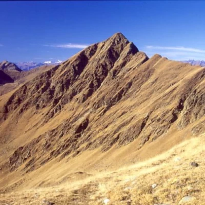
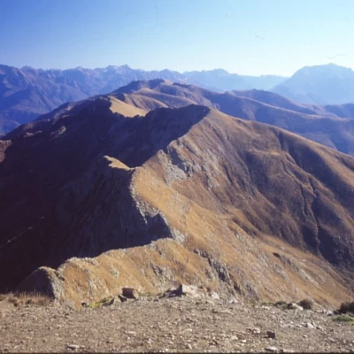
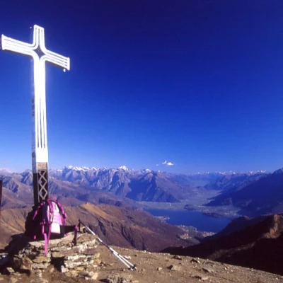
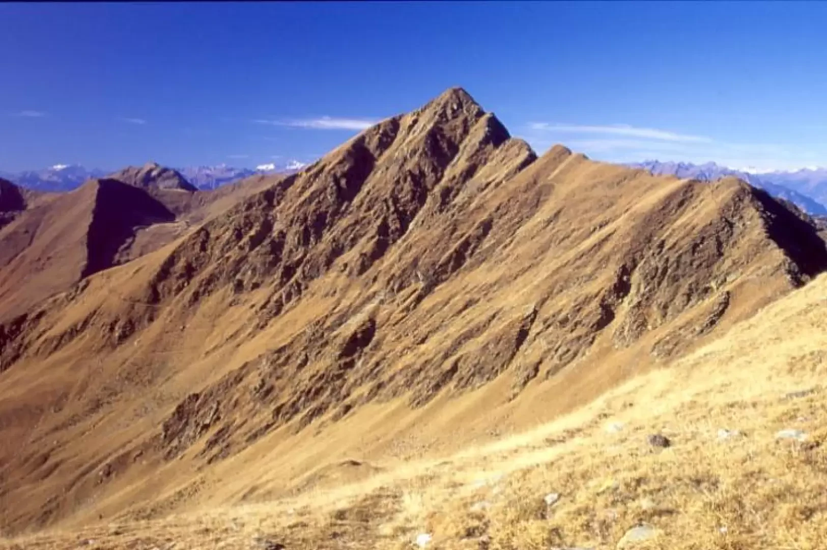
The Pizzo di Gino is one of the most popular excursions around Lake Como, for the elegance of its shape and above all for the wonderful circular view from the summit. This is why it is imperative to go there on a clear autumn day. The ascent to Pizzo di Gino is elementary (difficulty E), although on an unmarked route, and up only on grassy slopes. The descent on the ESE ridge, on the other hand, is not elementary (difficulty EE), and a certain degree of attention and lack of vertigo is required, until the trail joins up with the Alta Via dei Monti Lariani trail, which is instead always easy to follow, although the trail often tends to get a little lost or confused among the numerous tracks of the goat and sheep flocks. On reaching MonteTabor, we return back along the low path along the hillside, making a beautiful loop tour.
.Description
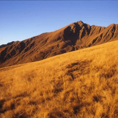
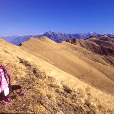
Have parked your car in the little unpaved square in front of the houses, continue on foot along the pastoral dirt road (which can be used by off-road vehicles) that climbs up the open slope to a fork with a clearing: to the right you go to the Croce di Campo hut, which is clearly visible from below, to the left on a level path you reach the Piazza Vacchera hut. Behind the buildings, across the meadows, head for Pizzo di Gino, reaching an old military mule track that you follow to the left; when this reaches, after a few bends, the SSW ridge of Pizzo di Gino and tends to get lost, leave it, climbing diagonally up the grassy slope and heading for the SW ridge of the mountain, which is less steep and leads directly to the summit, in the final part with some elementary little rocks. Wonderful panorama from Monviso to beyond the Stelvio. Now descend on the N side of the mountain, immediately beside the ESE ridge, a first drop to a small gap; from here continue on the ridge line with some easy climbing steps reaching a second small gap. Particular care is needed here: you can either return to the N side in the absence of snow to reach the Alta Via dei Monti Lariani, or descend towards the S side carefully over grassy clumps to reach an obvious little path that cuts the slope horizontally. Follow it on the level until you come to a crevice where the Alta Via arrives from the north (signposts and fixed rope). The route is now decidedly easy and always signposted. With a slightly uphill route, continue slightly away from the ridge on the S flank, with a scenic route and taking care to choose the best track among those present, many due to the passage of sheep and goats. Having passed just below the Pianchette peak (it can be reached with little effort), continue slightly uphill and then descend to the pass below Monte Tabor and along the ridge trail up to the latter mountain. Returning to the pass, take the old mule track that has now almost disappeared (be careful not to take the lowest path) that, still at altitude, leads back to the ridge that descends from Cima Pianchette just above the Croce di Campo farmhouse. Over the crest, descend to this and to the pastoral dirt road of the morning at the crossroads. Follow it back to the car.
Bibliography
- I. Mozzanica, Itinerari sulle Prealpi Lepontine, Electa edizioni, 2001
Cartography
- Kompass map no. 91 scale 1:50,000
Bibliography
- I. Mozzanica, Itinerari sulle Prealpi Lepontine, Electa edizioni, 2001
Cartography
- Kompass map no. 91 scale 1:50,000
Riferimenti Bibliografici
- Itinerari sulle Prealpi Lepontine - I. Mozzanica - Electa edizioni, 2001
- carta Kompass n.91 scala 1:50.000 - Kompass - Kompass
