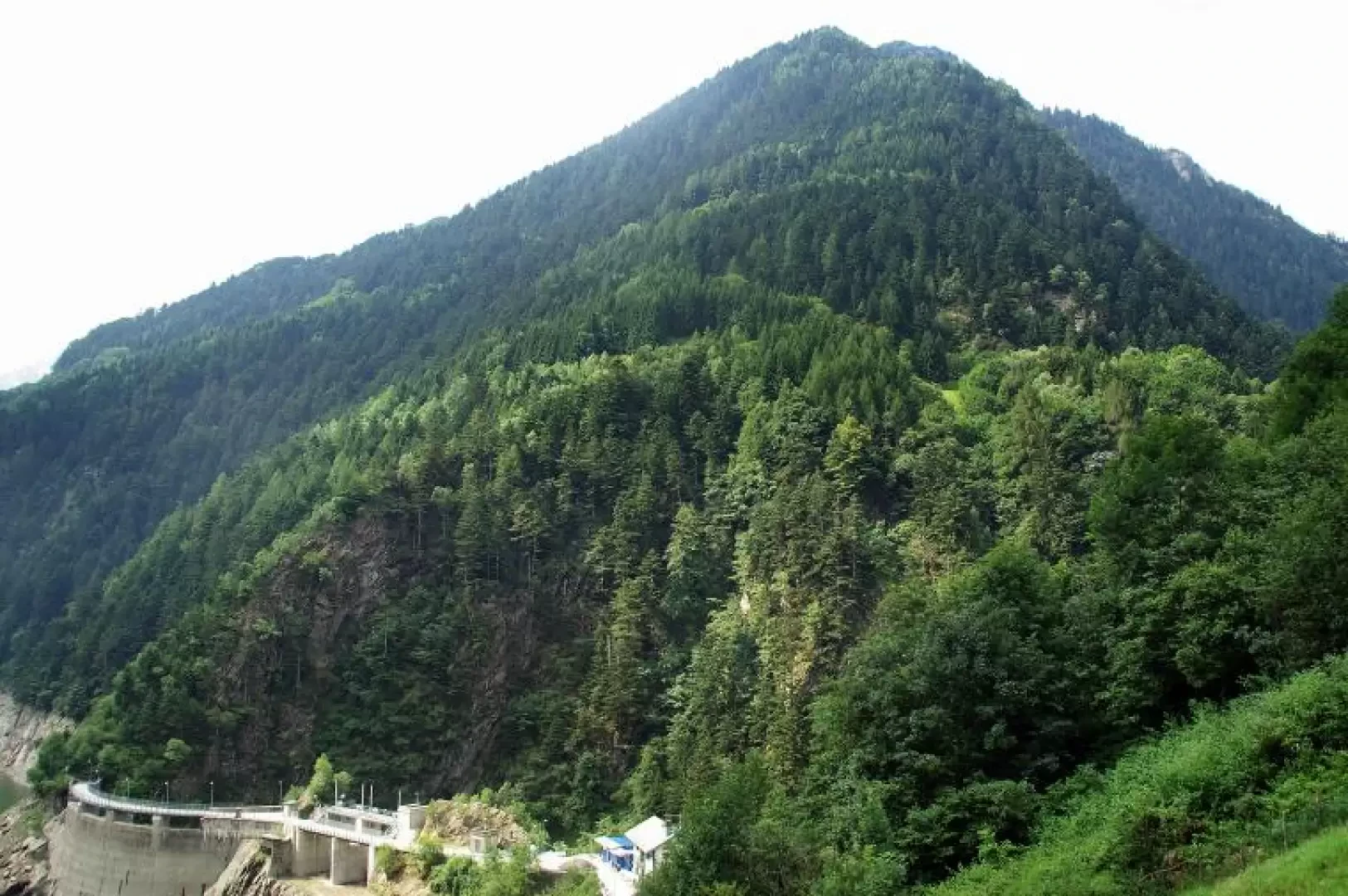
Pizzo della Pruna, from CAmpo
Access
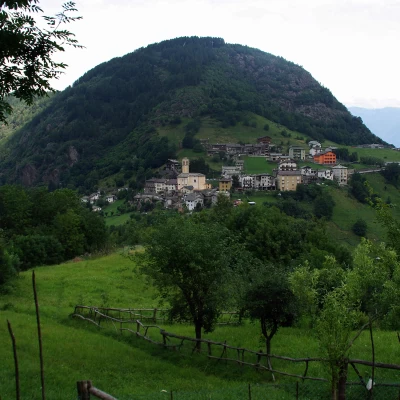
From Milan to Morbegno along state roads 36 and 38; continue in the direction of Sondrio until the next crossroads at the viaduct over the Tartano. Turn right and continue in the direction of Tartano: the long winding provincial road (12) climbs the mountainside with beautiful views over the lower Valtellina. There is ample parking at the Campo cemetery.
.Introduction
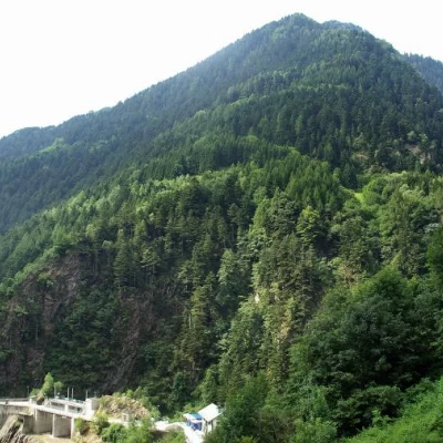
A hike that is very little frequented, due to the proximity of other more popular destinations on the sunny side of the Val Tartano. The destination, which at the start appears to be a wooded peak looming over the inhabited valley floor, is in reality a tree-lined dome devoid of alpine importance, but placed in a privileged position in front of the parade of all the Masino mountains (and beyond to the Bernina group). The interest of the route is mostly environmental, with the crossing of shady fir woods, between one maggengo and another, in the midst of a nature that - once human activities have ceased - quickly recovers its original spaces and aspects. Possibility of encounters with wild animals.
Description
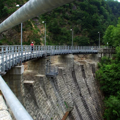
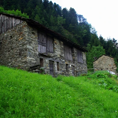
From the car park near the cemetery 1050 m, immediately take the descent of Via Costa which, steeply cemented, leads to the bottom of the valley of the Enel dam of "Culumbéra" 960 m. After crossing the suggestive walkway, you begin to climb with regular hairpin bends ("sentée del pic") the wood that leads to the few mountain huts of Frasnino 1074 m; the track becomes wide as it enters the dense fir wood and, with a long uphill traverse (ignore the unmarked forks), after crossing several precipitous gullies, reaches the houses of Foppa 1280 m. From here, a short descent allows you to reach a fork in the path (point of diversion on the return journey): to the right is a meadow with a fence, but the path turns right immediately before reaching it. The wood becomes wetter and rockier: a series of wide hairpin bends leads to the abandoned Marscia clearing 1540 m; continuing the ascent shortly brings you to the first meadows of the vast alps of Corte and Postareccio 1714 m: from the group of more restored huts (one almost two-storeyed) a little path starts out that is not very evident in the very high grasses; it heads north and becomes clearly visible as soon as it enters the wood. A level section precedes a short ascent to the wooded clearing at the edge of Pizzo della Pruna 1795 m dominated by a log cross. In the absence of summer mists, the panorama is truly the most extensive on the Rhaetian side. For the return trip, it is convenient to return to Corte-Postareccio via a wide loop on the summit crest of the Pizzo, recently named "Sentiero dei mirtilli"): the trail is at times almost absent, but the signs in paint are sufficient to direct you appropriately through splendid small clearings connected by a continuous expanse of blueberry bushes, a few rhododendrons and junipers.
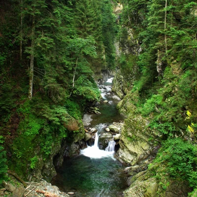
On reaching the alp again, we continue on the uphill trail to the marked fork near the Foppa: we choose the downhill track and quickly descend through dense, damp woodland to the isolated hut of Corna 1120 m (nearby, ferruginous spring "Acqua de la ram"). A few more steep hairpin bends - even partially carved into the rock face - and you reach the bottom of the gorge of the Tartano torrent, where it is bypassed by the gloomy Ponte della Corna; on the other side, climb up a damp and stony gully to the top until you come out on the provincial road to Tartano. With no alternative but to follow the asphalt road, in about half an hour you return to Campo, the starting point.
