Damino Lace

Edited by:
Marco Bonati
Last survey: 03/02/2009
Updated at: 02/12/2025
Updated at: 02/12/2025
Length
0.00 Km
Departure altitude
832 m
Arrival height
1296 m
Positive difference in height
481 m
Recommended period
Access
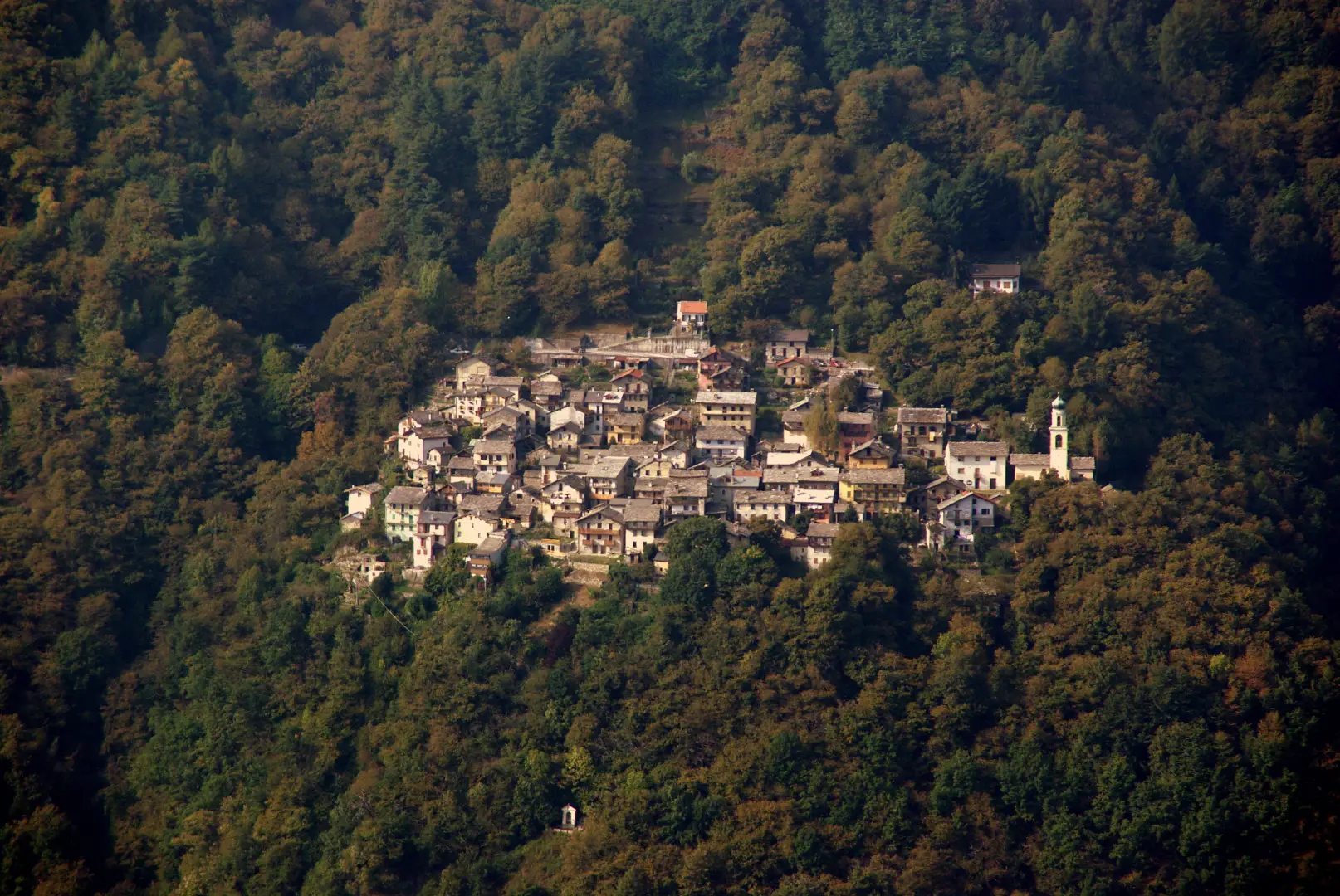
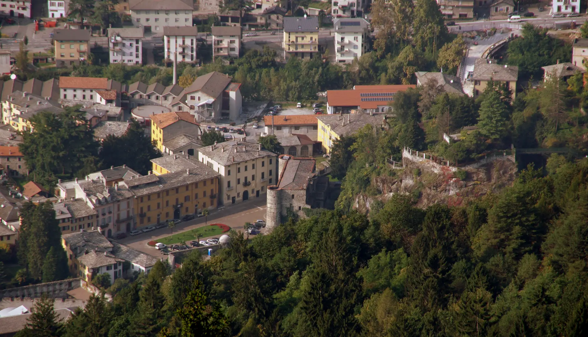
Da Milano a Prata Camportaccio lungo la statale 36: lo svincolo è sulla destra e poco visibile. Si risalgono le strette vie del paese fino alla chiesa (visibile come punto di riferimento) e da qui si prosegue per le contrade a monte: Dona, Lotteno e Uschione. La strada è chiusa da una sbarra prima di quest'ultima localtà e si parcheggia in uno slargo apposito, poco prima di una modesta palestra di roccia.
Description
Description
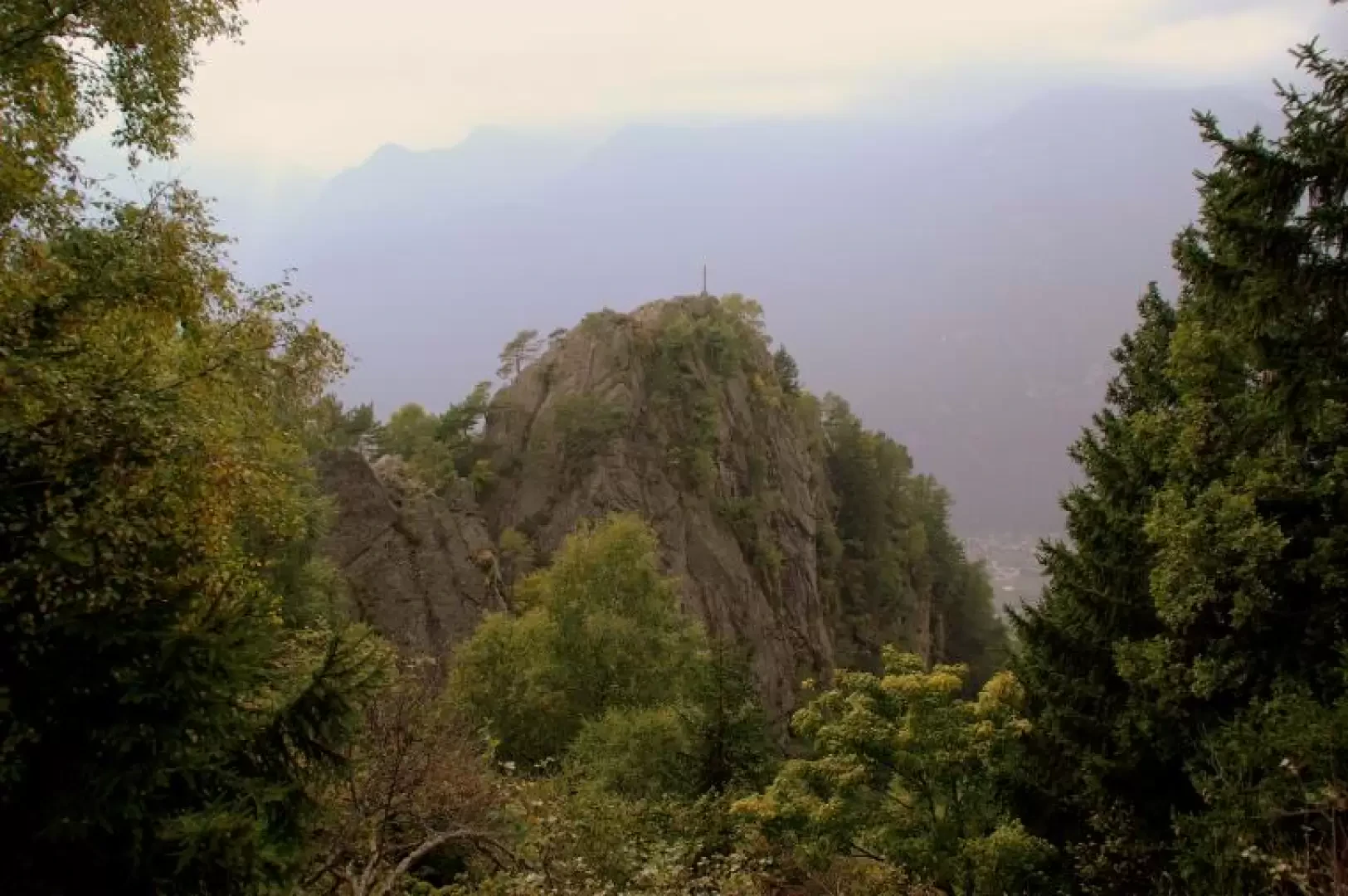
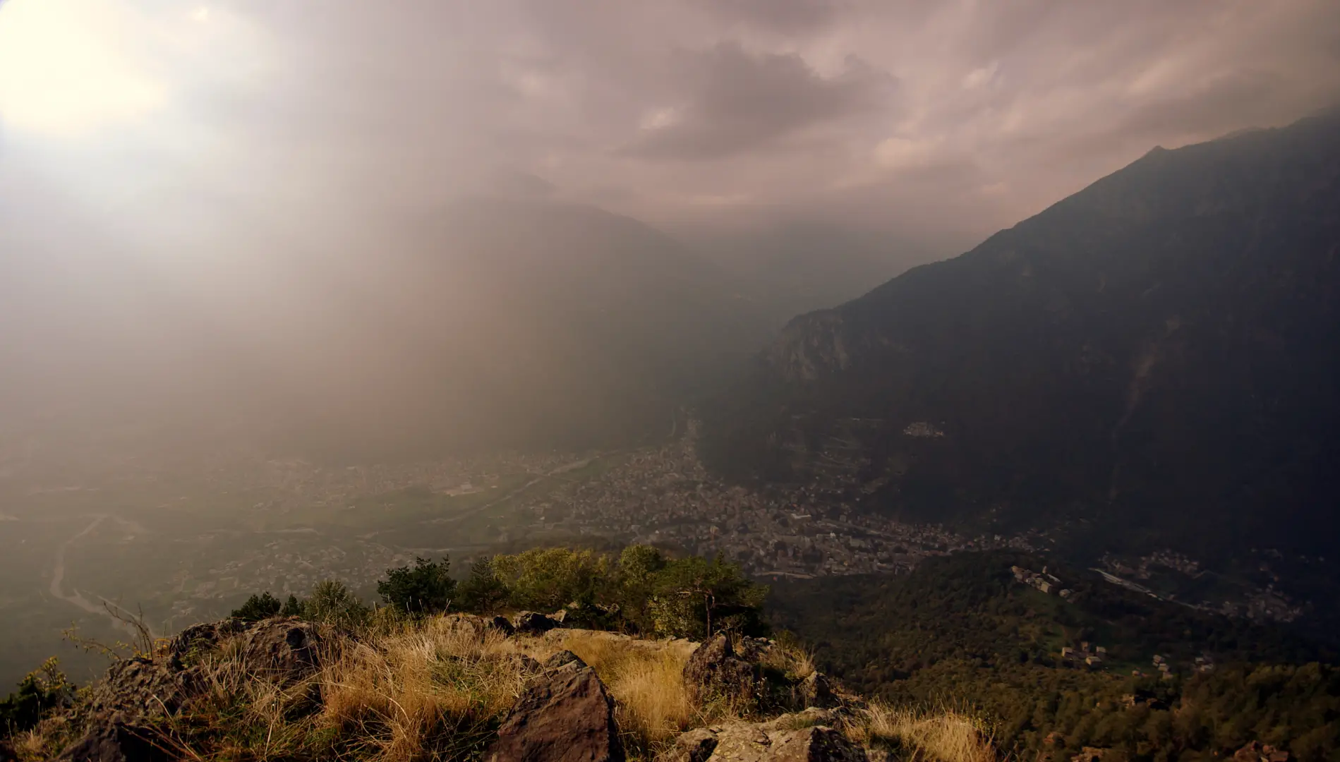
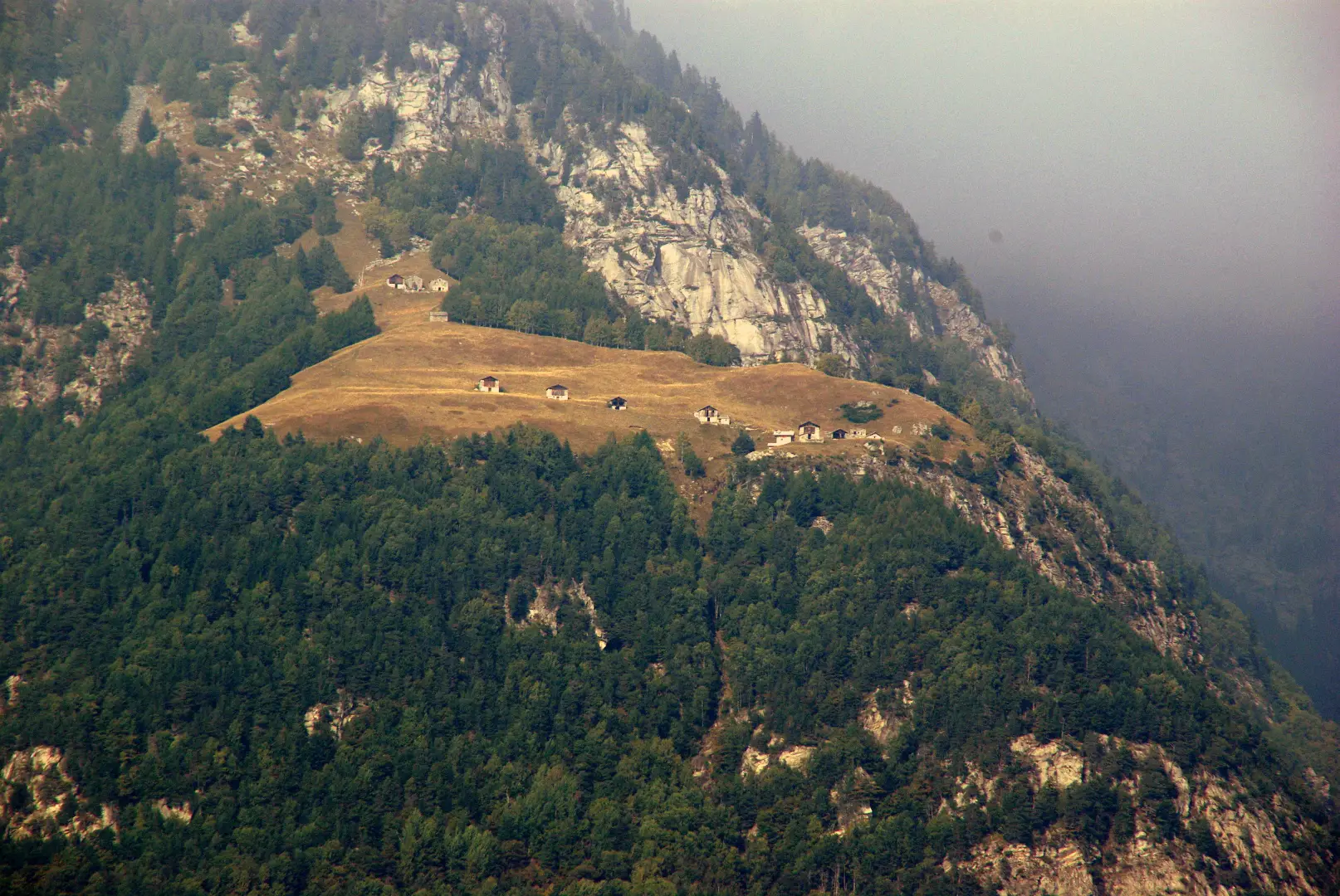
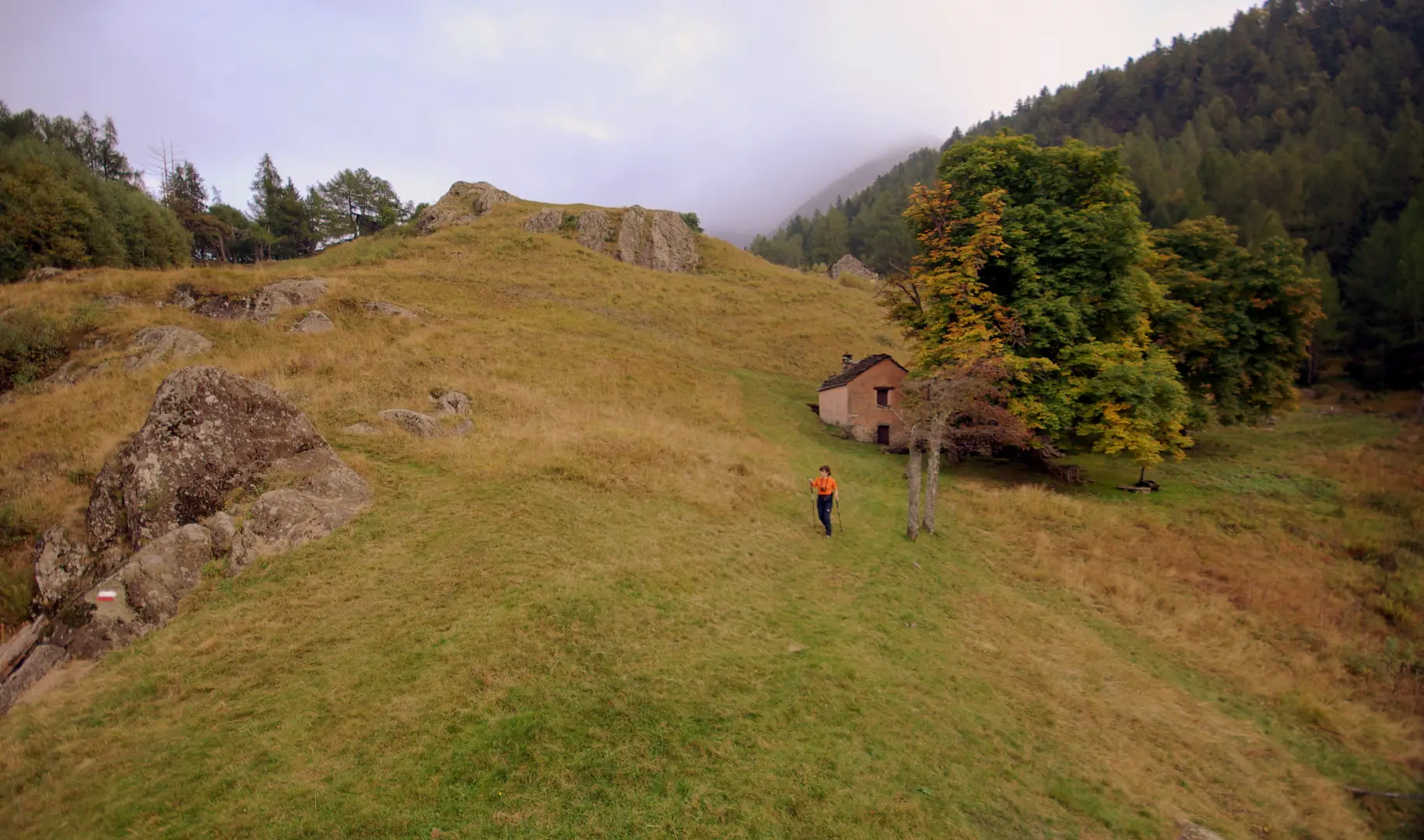
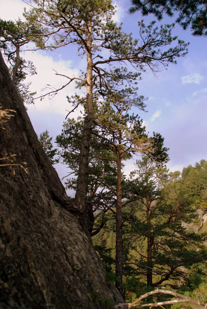
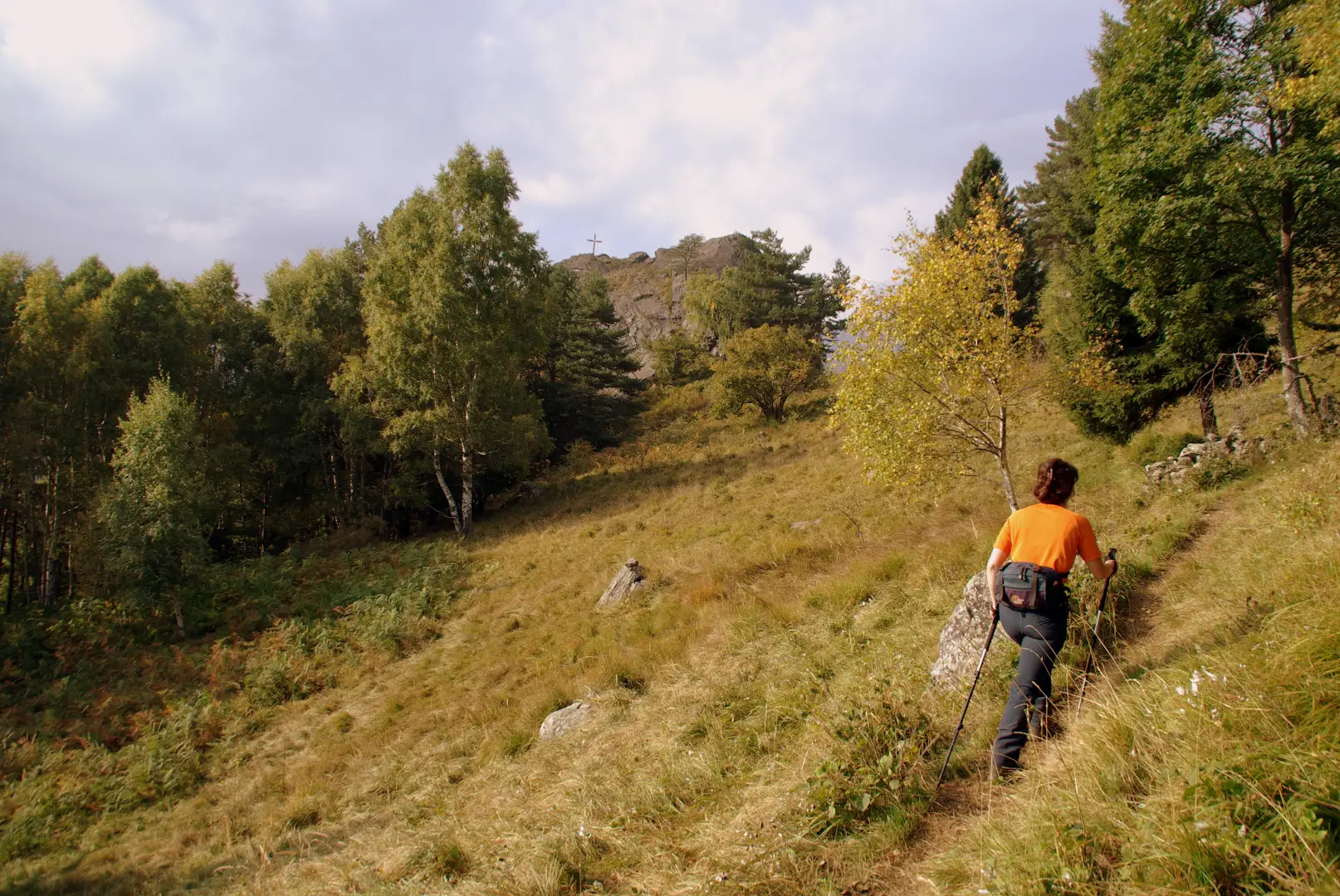
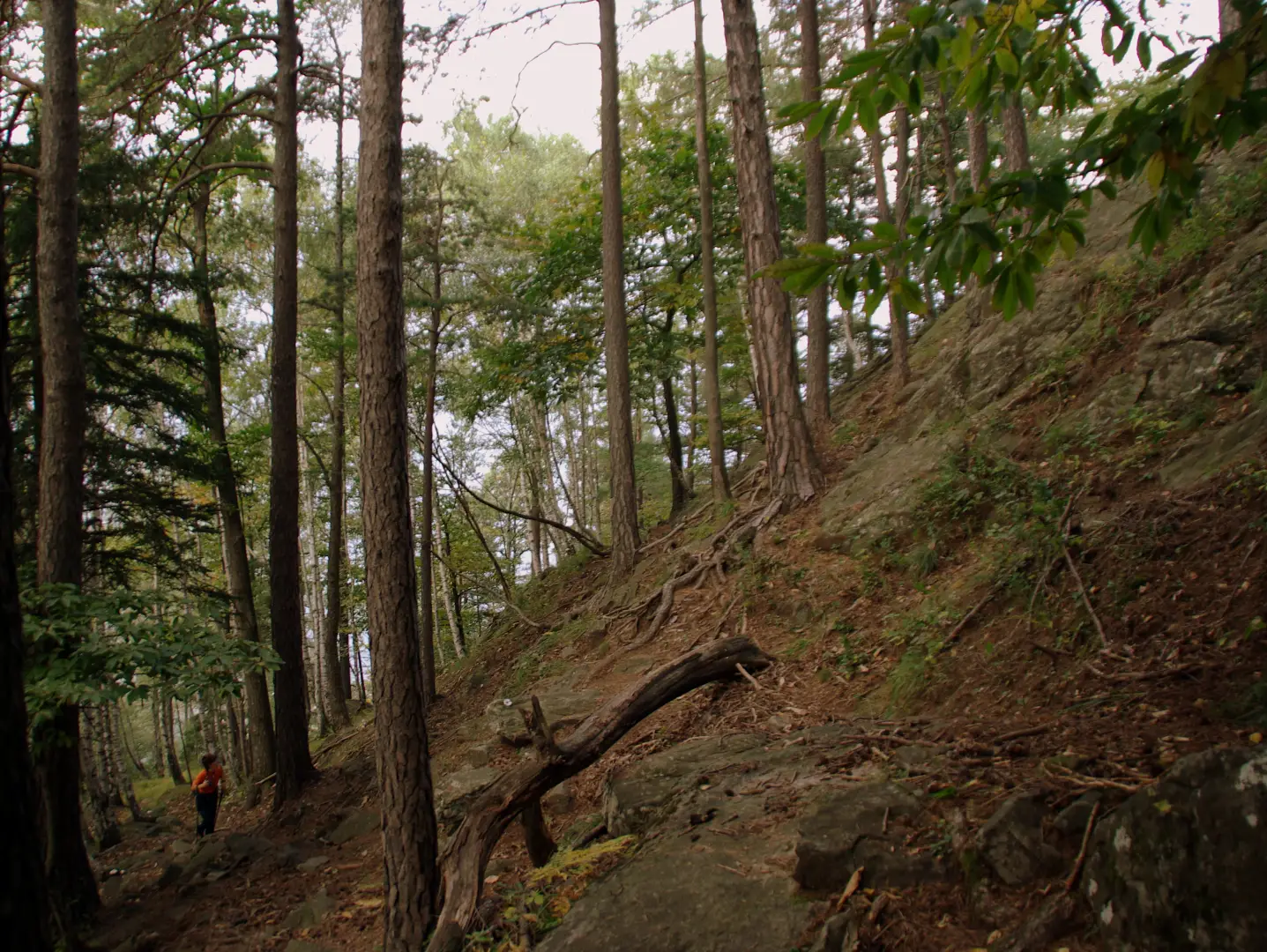
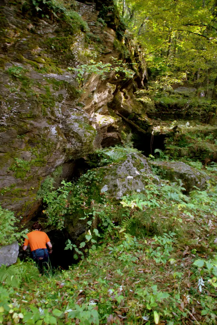
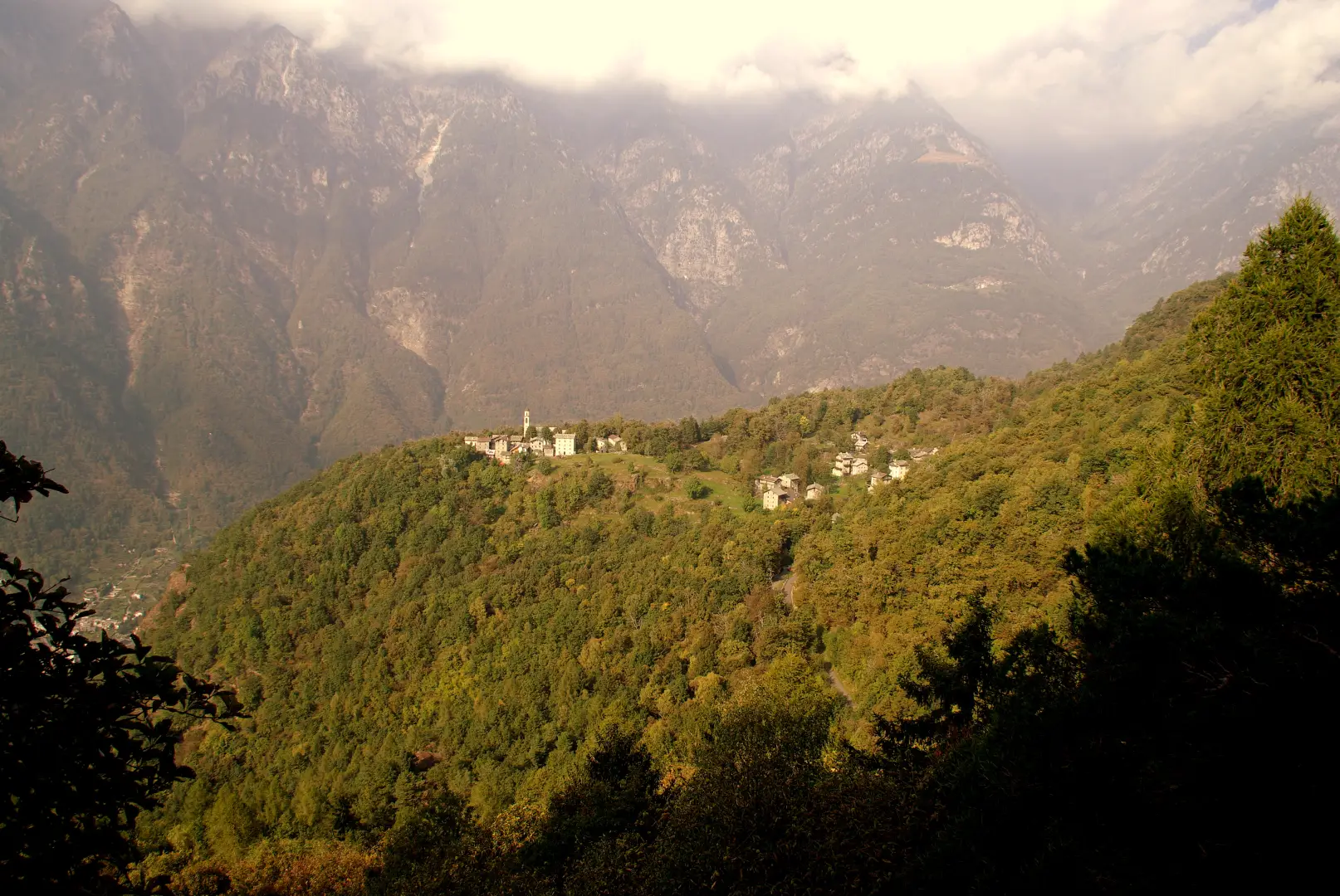
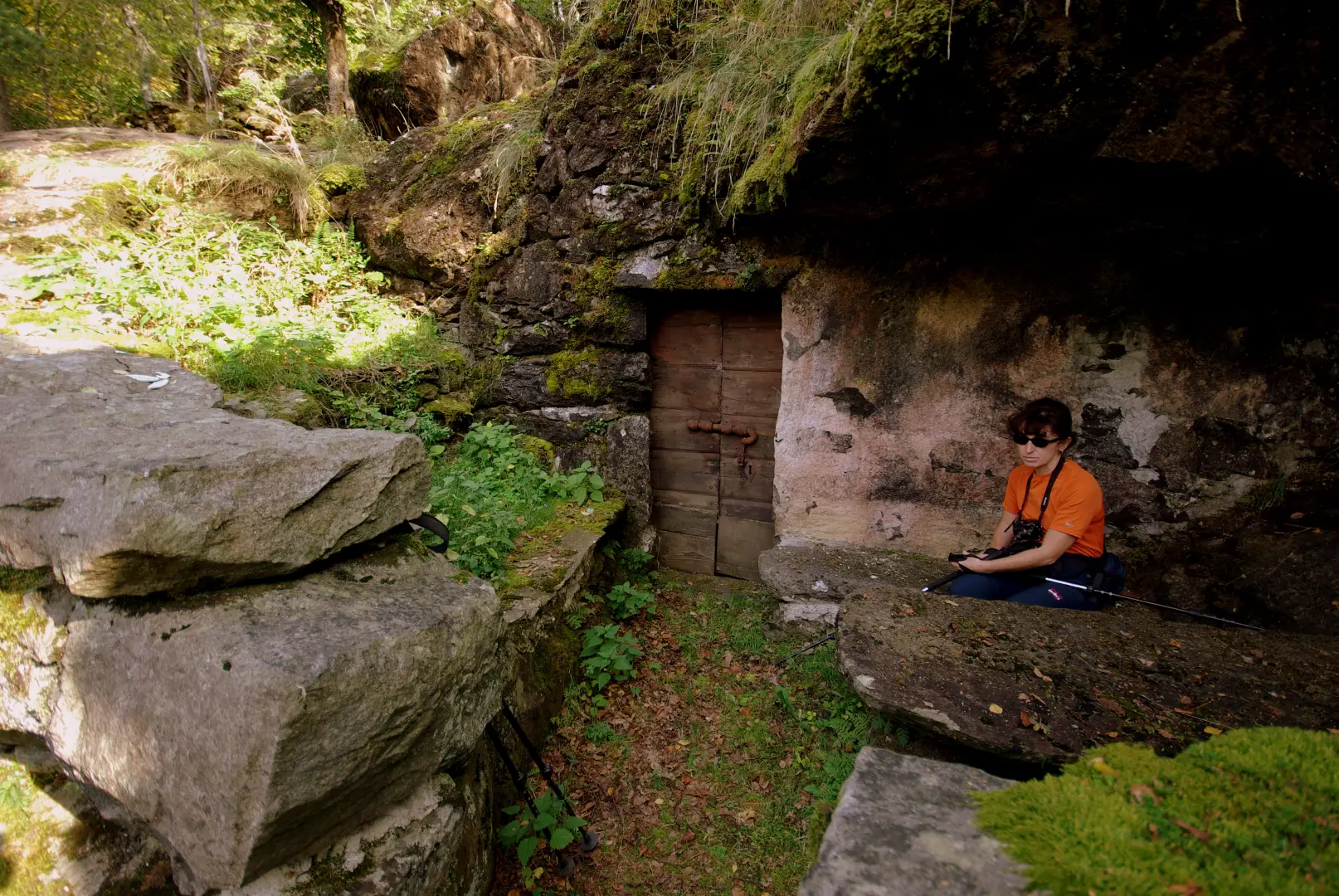
. From the barrier that prevents non-residents from passing through, we continue on the tarmac road to Uschione ("Us-cion") 832 m for a few hundred metres until we come to a fork in the road: we ascend to the right, but very briefly. At the end of the retaining wall of the road (some twenty metres) the well-marked path begins, which we must follow; flat at first, it enters a forest (locally a terraced forest used for forestry) of chestnut trees, which then thins out among the boulders of a palaeo-landslide. If you pay attention, you will notice under the larger boulders small stairs, terraces with stone benches and tables at the mouth of openings closed by a small door: these are the crotti, natural cavities - but adapted by man - where the constantly cool microclimate is exploited for the preservation of cold meats, cheeses and wine. Once past the crotti, the path starts again with a very steep ascent, winding its way through the remaining free spaces between the boulders; it climbs up through the luminous wood of Scots pines and birch trees, approaches a couple of ruddy mountain huts and resumes with a new series of steep hairpin bends. In a short time, you come out into the clearing of Alpe Damino 1240 m; a band of fern vegetation precedes the summit terrace on which the summit of Pizzo Damino ("Al Damin") 1296 m appears to rest. It is possible to reach the summit memorial cross by following a wide ledge with stacked blocks to the left. For the return journey - having abandoned the clearly visible signposts - continue over the high meadows of Alpe Damino (Alpe Pizzolungo): you must traverse eastwards along a faint track in the tall grass (a few stretches of faded paint). After a hundred or so metres, you enter a damp forest of firs and larches: the path becomes well marked and signposted on the long up-and-down traverse to Pesceda 1313 m, a small group of huts shaded by horse chestnuts. We come to a fork in the road: we leave off the upstream direction and begin to rapidly diverge along the meadows of the mountain (locally understood more or less as maggengo). The descent is often sheer - as is customary in these parts - along stone steps to the steepest line. In this way, after a second mountain pasture and a new strip of chestnut grove, we find ourselves on the road to Uschione, two hundred metres upstream from the point where we had left it. Photo galleryGalleria fotografica
© 2021 - Marco Bonati
© 2025 - Marco Bonati
© 2025 - Marco Bonati
© 2025 - Marco Bonati
© 2025 - Marco Bonati
© 2025 - Marco Bonati

© 2025 - Marco Bonati
© 2025 - Marco Bonati
© 2025 - Marco Bonati
© 2025 - Marco Bonati
© 2025 - Marco Bonati
© 2025 - Marco Bonati
© 2025 - Marco Bonati