Lac Mort, from Place Moulin
Access
Leaving the motorway at the Aosta Est barrier, turn right and take the dual carriageway to follow for 8.4 kilometres. At Signayes, turn right onto the regional road following the signs for Bionaz/Laravoire. Pass a roundabout and continue on the regional road along the entire length of Valpelline. Drive through the villages of Valpelline, Oyace and Bionaz and, after about 27 kilometres, you will reach the car parks near the Place Moulin dam. From 1 May to 31 October, parking is chargeable (1€ per hour - 9€ all day). Non-paying car parks can be found about 600m before the dam.
[0h52'] - [37.1km]
How to get there with GMaps
How to get there with Apple Maps
How to get there with Moovit
The information provided here has been verified as of the date of the route survey. Before setting off, it is advisable to ensure that no substantial changes have occurred on the route to the starting point. We therefore recommend the use of the satellite navigation apps provided by Google or Apple for up-to-date and detailed directions.
Introduction
An interesting hike in an unfrequented corner of Valpelline. Great views of the Place Moulin lake.
.Description
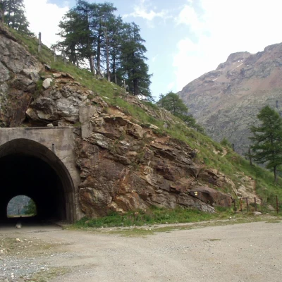
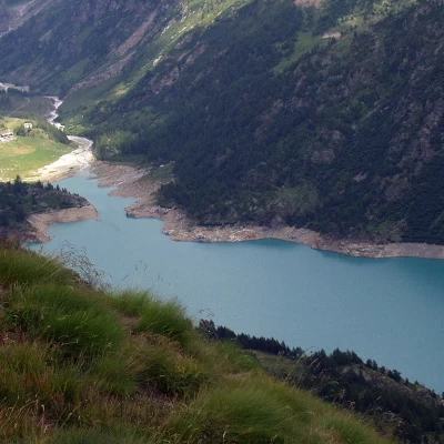
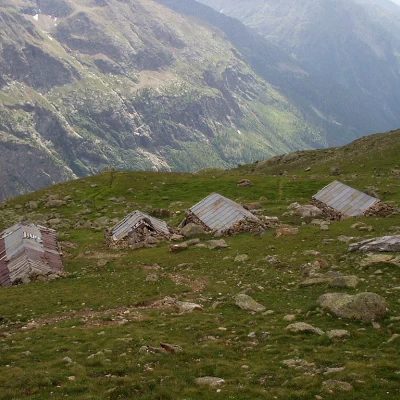
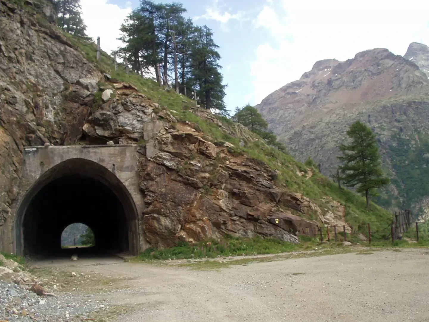
Leaving your car in the car park near the Place Moulin dam, you set off on the left-hand inter-modal road (7) that leads, after three hairpin bends, to the mouth of a tunnel. Leave the road to follow a well-marked path to the right of the tunnel. The path climbs steeply between wire nets and avalanche barriers until it reaches the remains of Alpe la Mea (2320m). With a gentler slope, the trail climbs up to Alpe Les Seyteves (2455m). During this stretch, the view of the Place Moulin basin is incomparable.
To the east, the Dent d'Hérens is also clearly visible.
Further up, the trail proceeds through the middle of a small valley, crosses a stream, and soon reaches the four houses of Plan di Vaiun (2578m). Now to the south, the Becca di Luseney is clearly visible.
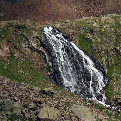
Further on, the trail skirts a waterfall of the Lac Long outflow (2720m).
At Lac Long, the trail goes around it to the left (orographic right). A steep climb leads to Lac Mort (2850m). Near the lake, the rocky chain from the Becca Bovet to the Punta Gerlach is clearly visible.
The descent follows the same route as the ascent.
