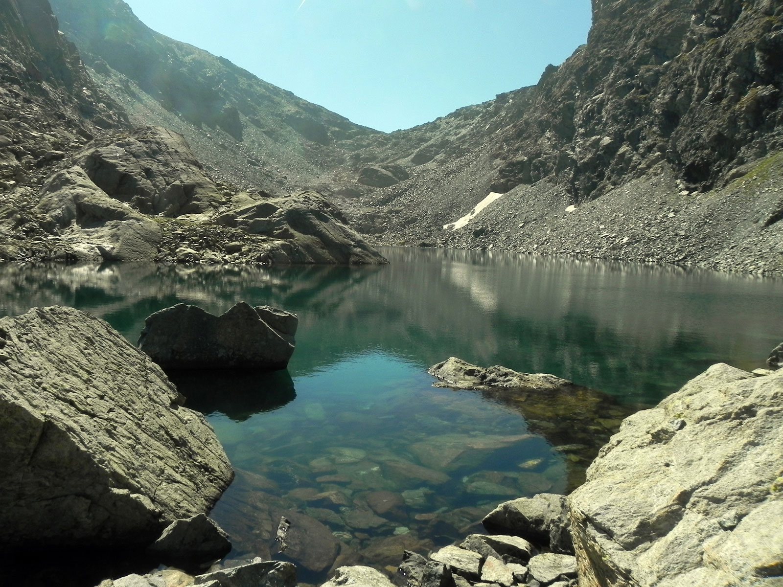
Lac Gelé, from the Blanchet car park

Edited by:
Massimo Martini
Updated at: 21/06/2025
Access
From the motorway junction at Verrès enter the roundabout and take the third exit and take the Strada Statale in the direction of Aosta.After 450m at the roundabout take the first exit and continue on the statale for a further 1.3km. Turn left onto the strada regionale with signs for Valle di Champdepraz - Parco del Mont Avic. Go up the for about 10km before meeting the panel with the signs for the resort's main car park: turn left following the signs for Blanchet and Fusse and, after about 200m, park your car in the convenient free car park 🅿️.
[0h22'] - [11.5km]
How to get there with GMaps
How to get there with Apple Maps
In the summer period, July/August, there is a shuttle service to Chevrère (Covarey).
These indications are based on direct verification carried out at the time of surveying the route so the information should be checked before setting off on the hike. We recommend using a GPS navigator or a map app on your smartphone to get up-to-date and detailed directions.
Introduction
Walking in the Mont Avic Regional Park, you will be able to walk in a still unspoilt environment rich in historical cues: in fact, remains of mining activity can be found here.
Description
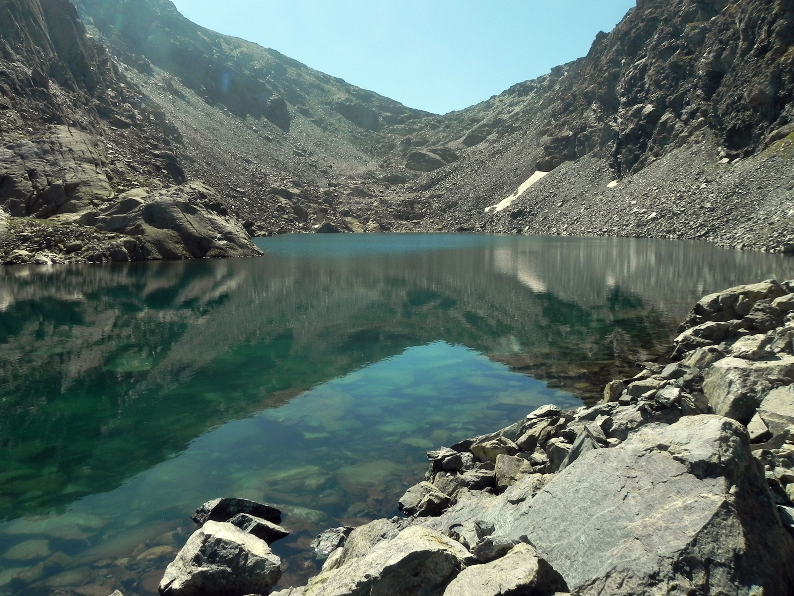
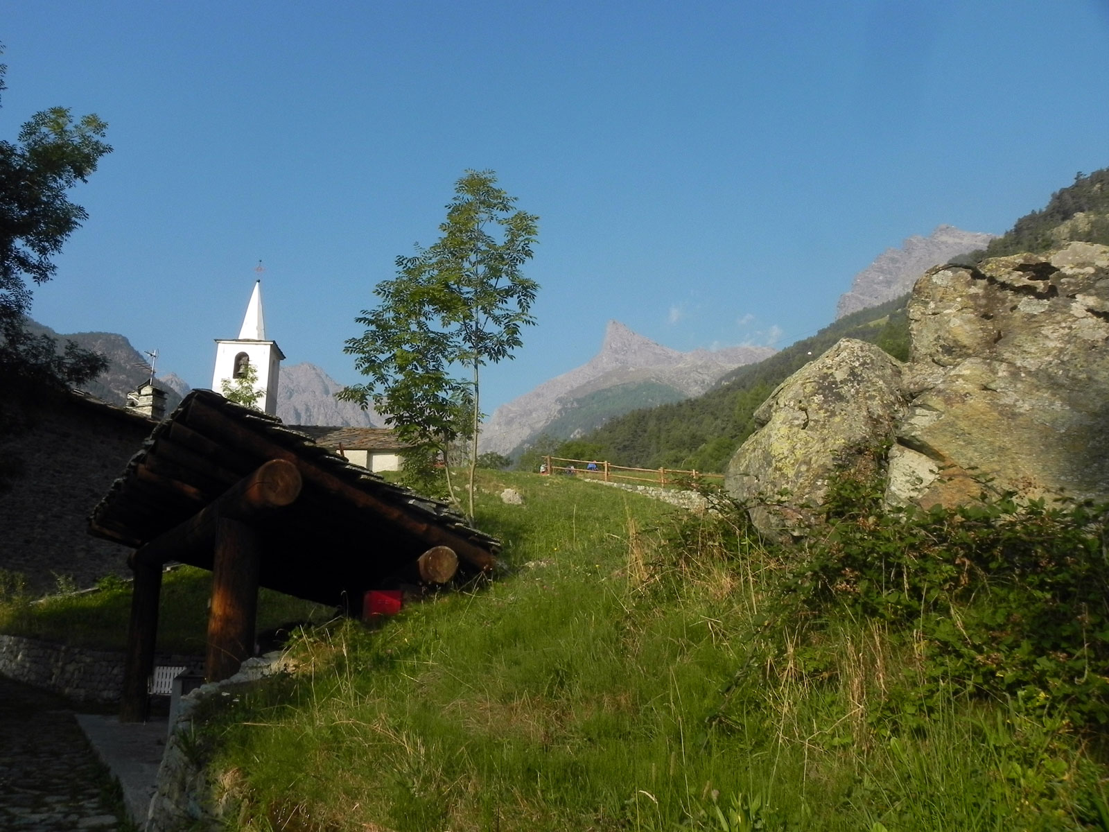
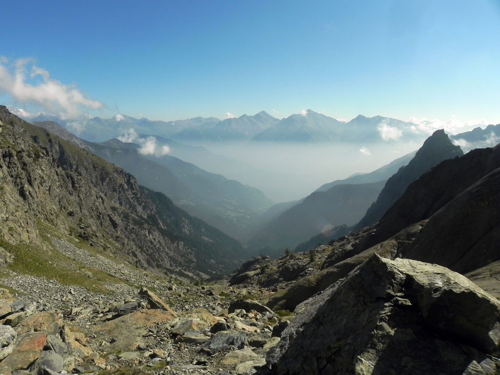
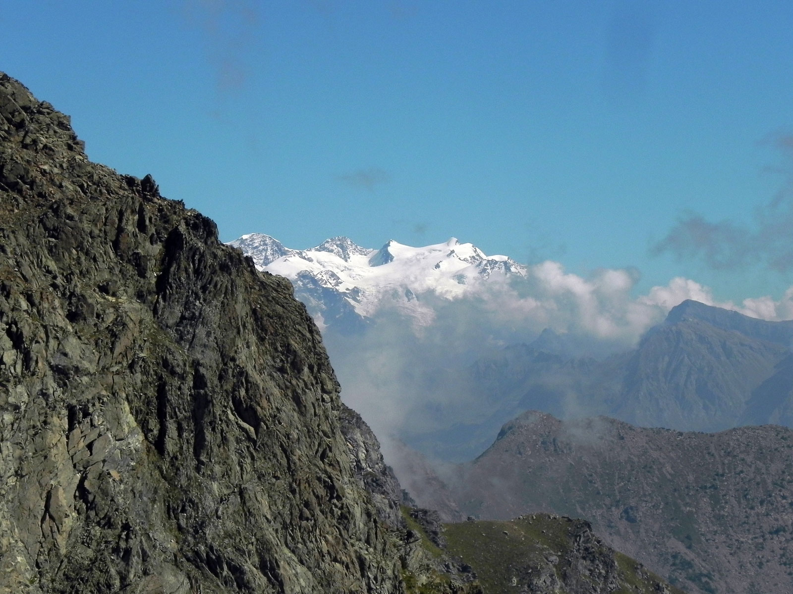
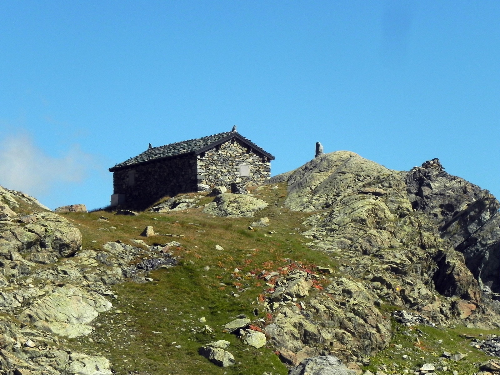
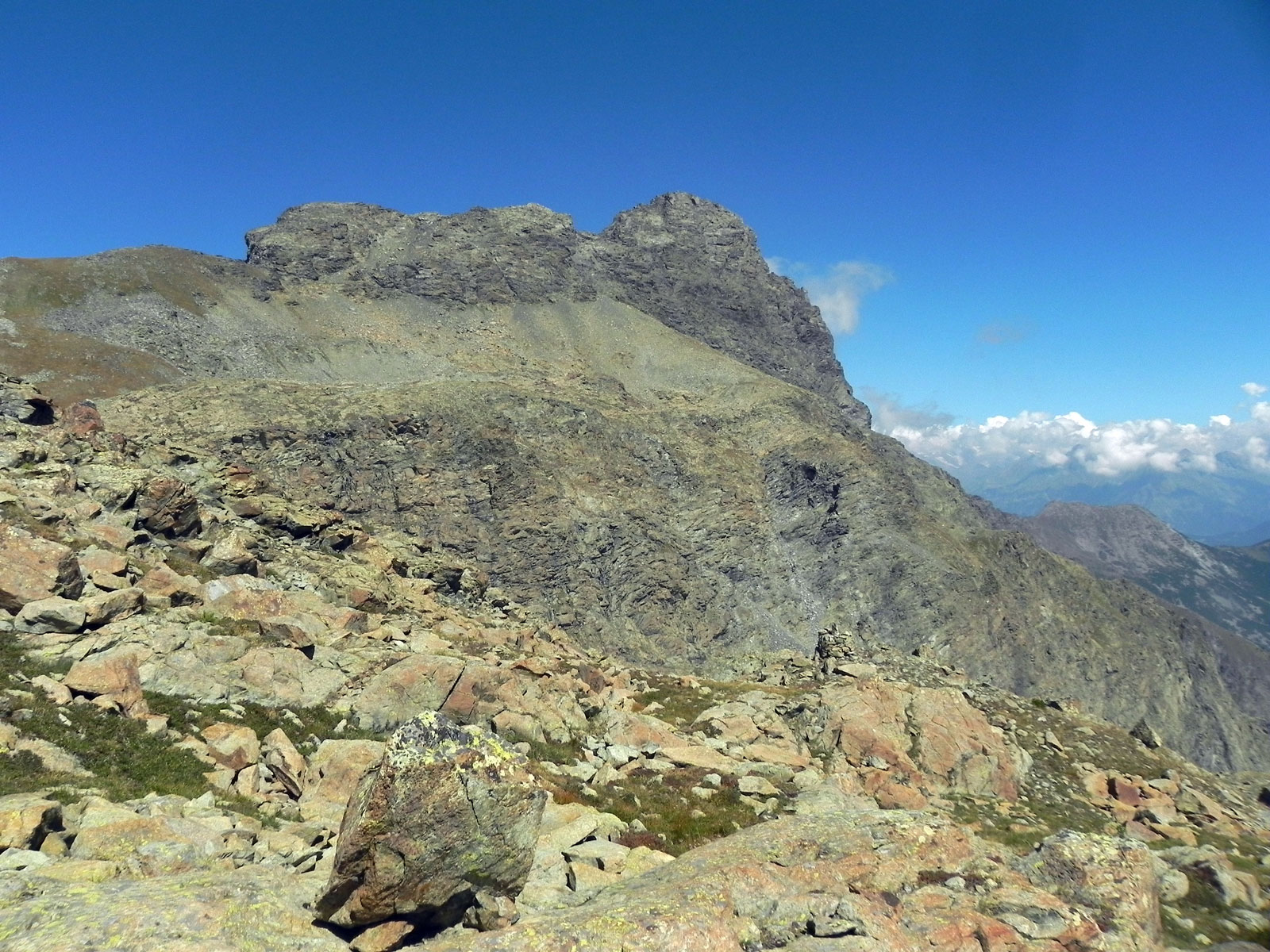
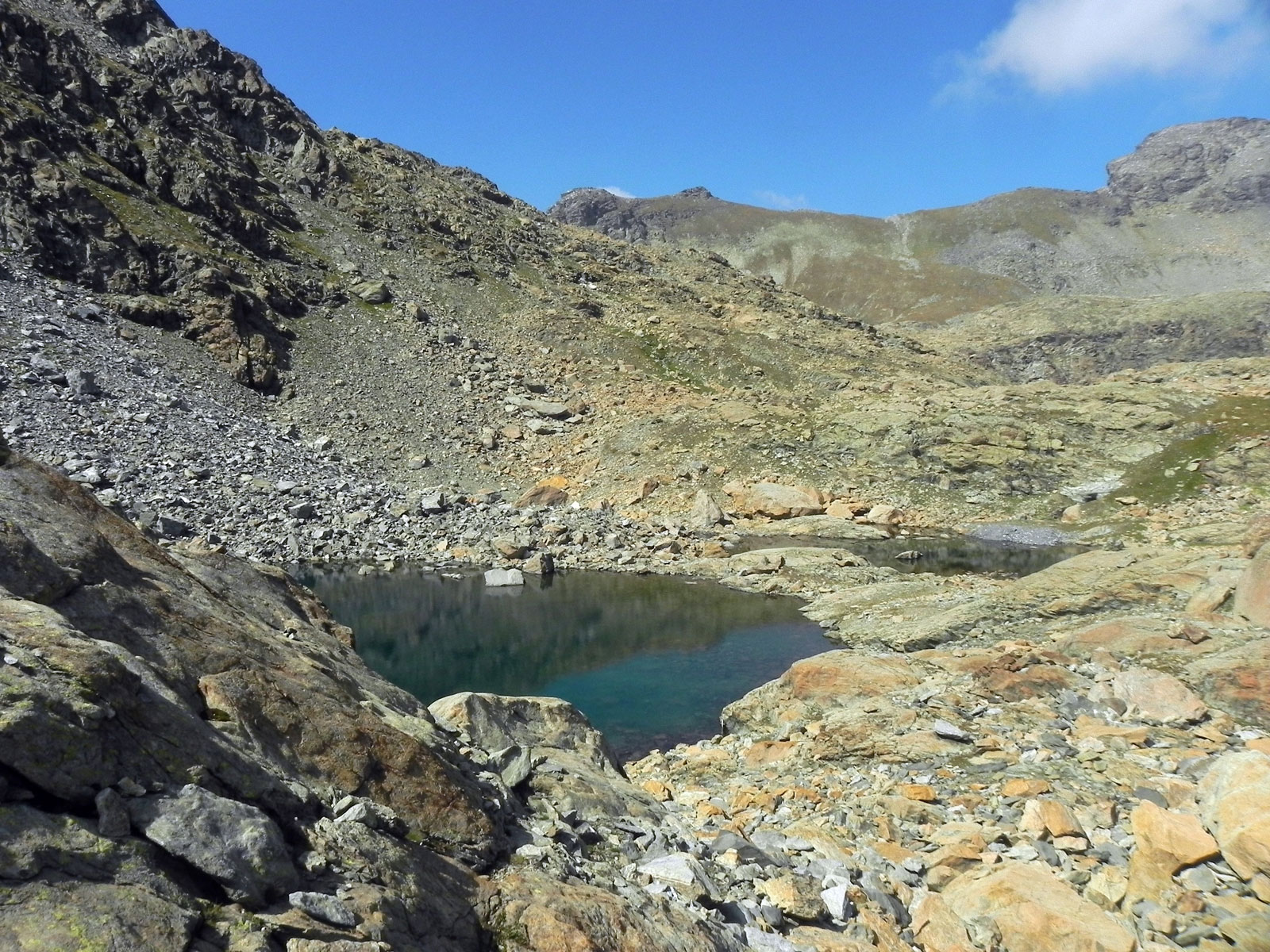
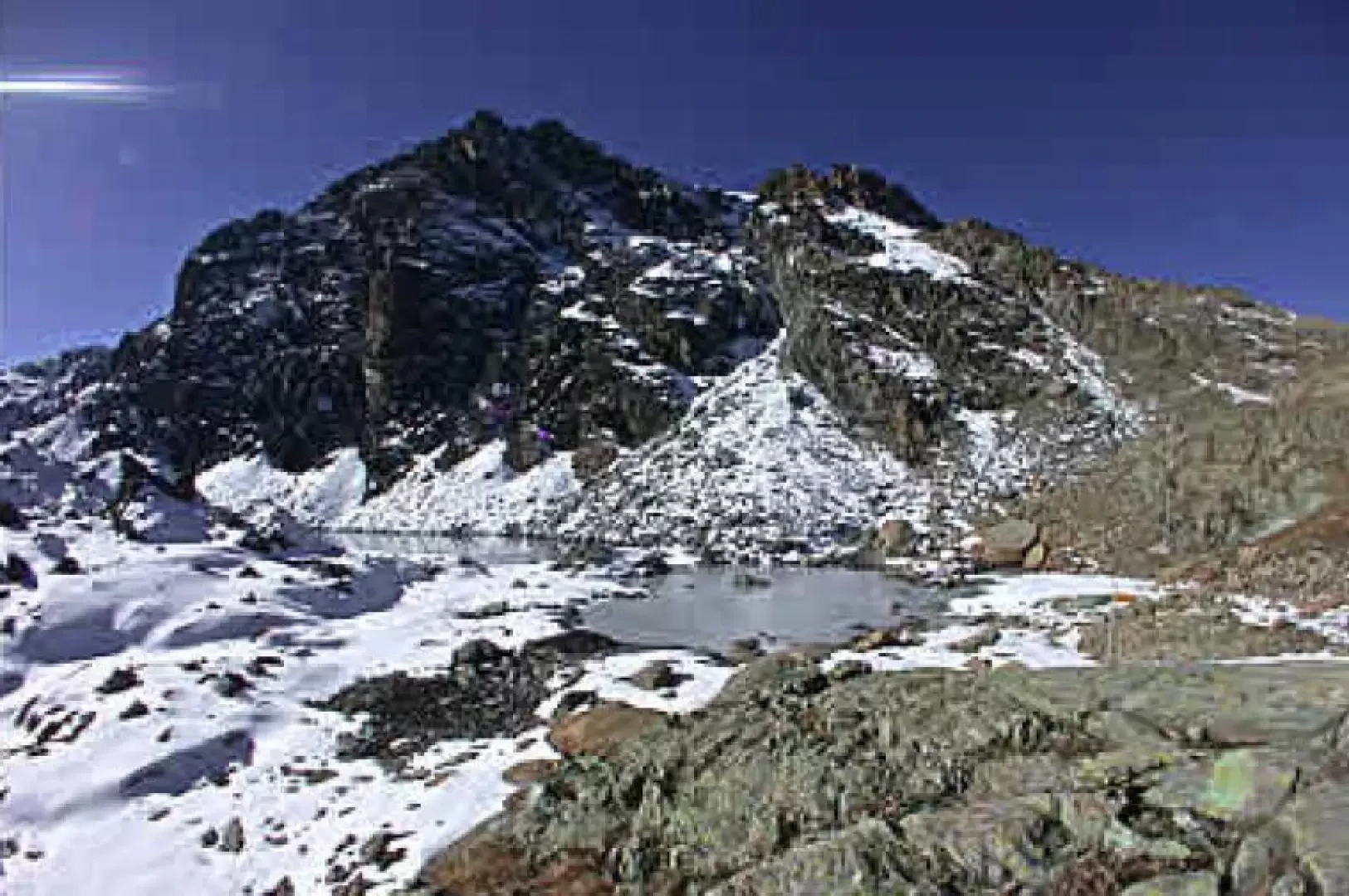
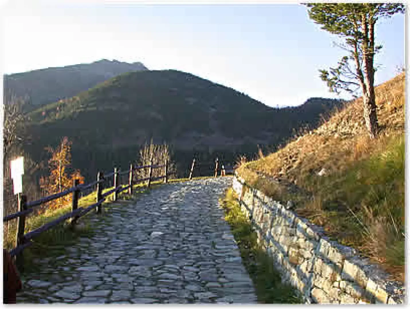
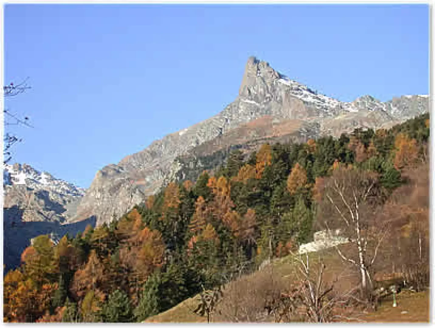
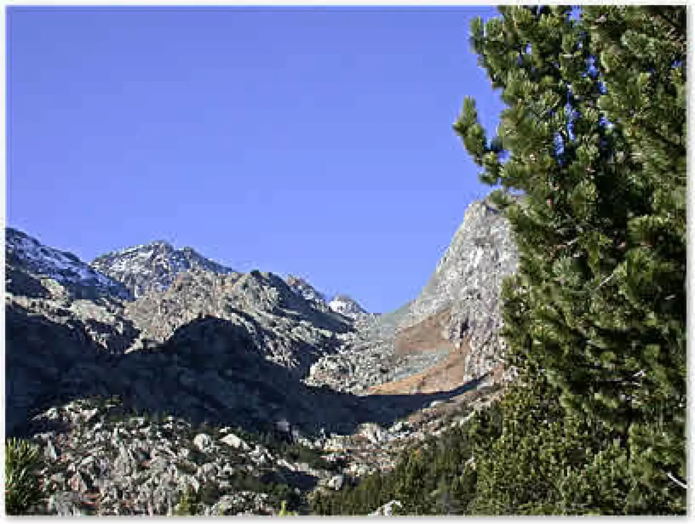
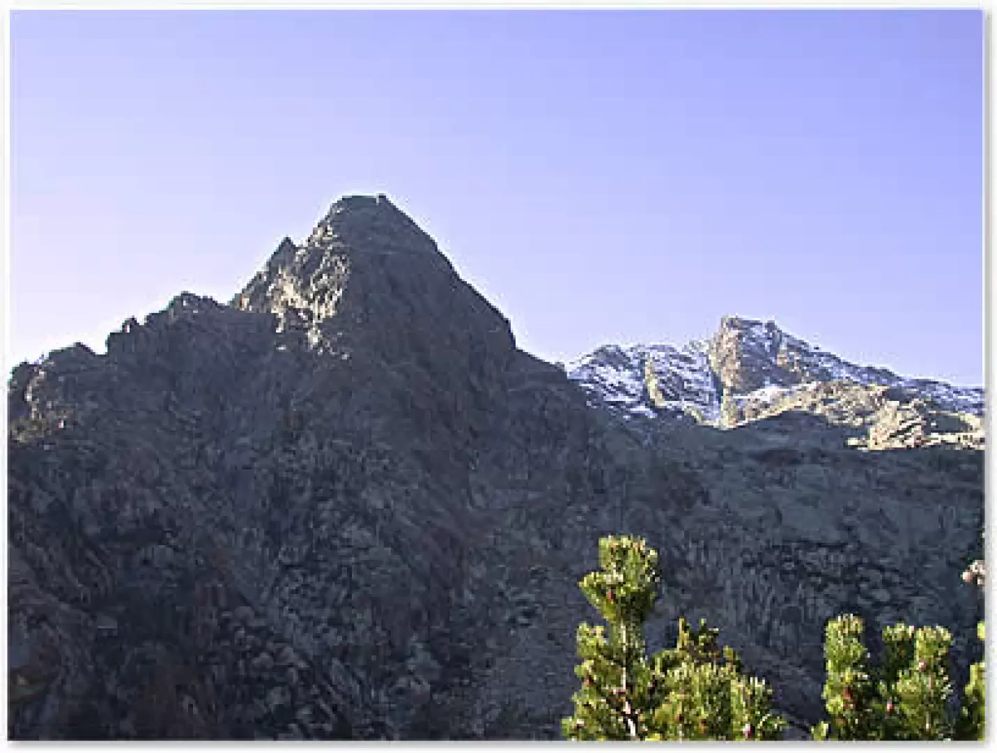
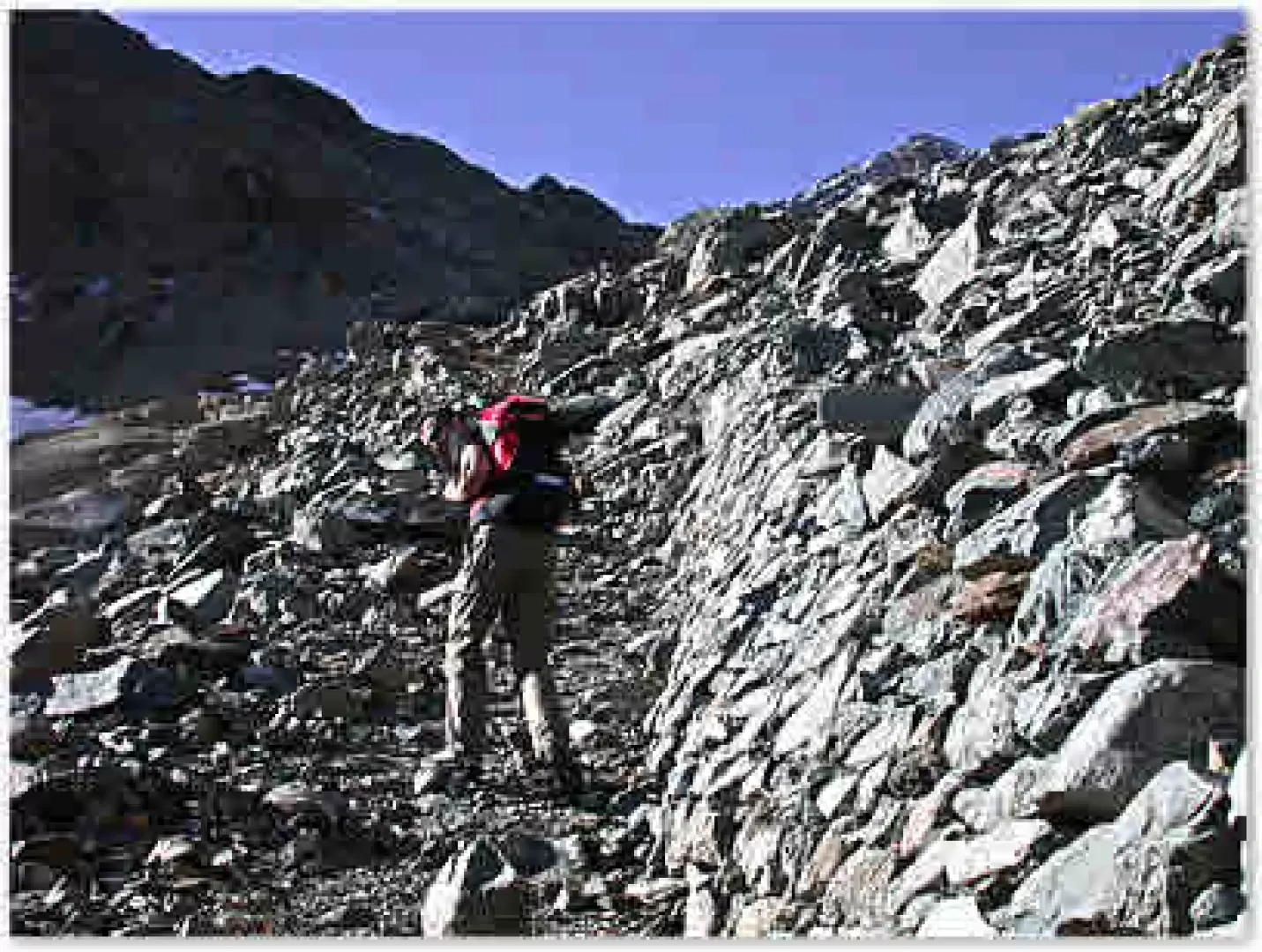
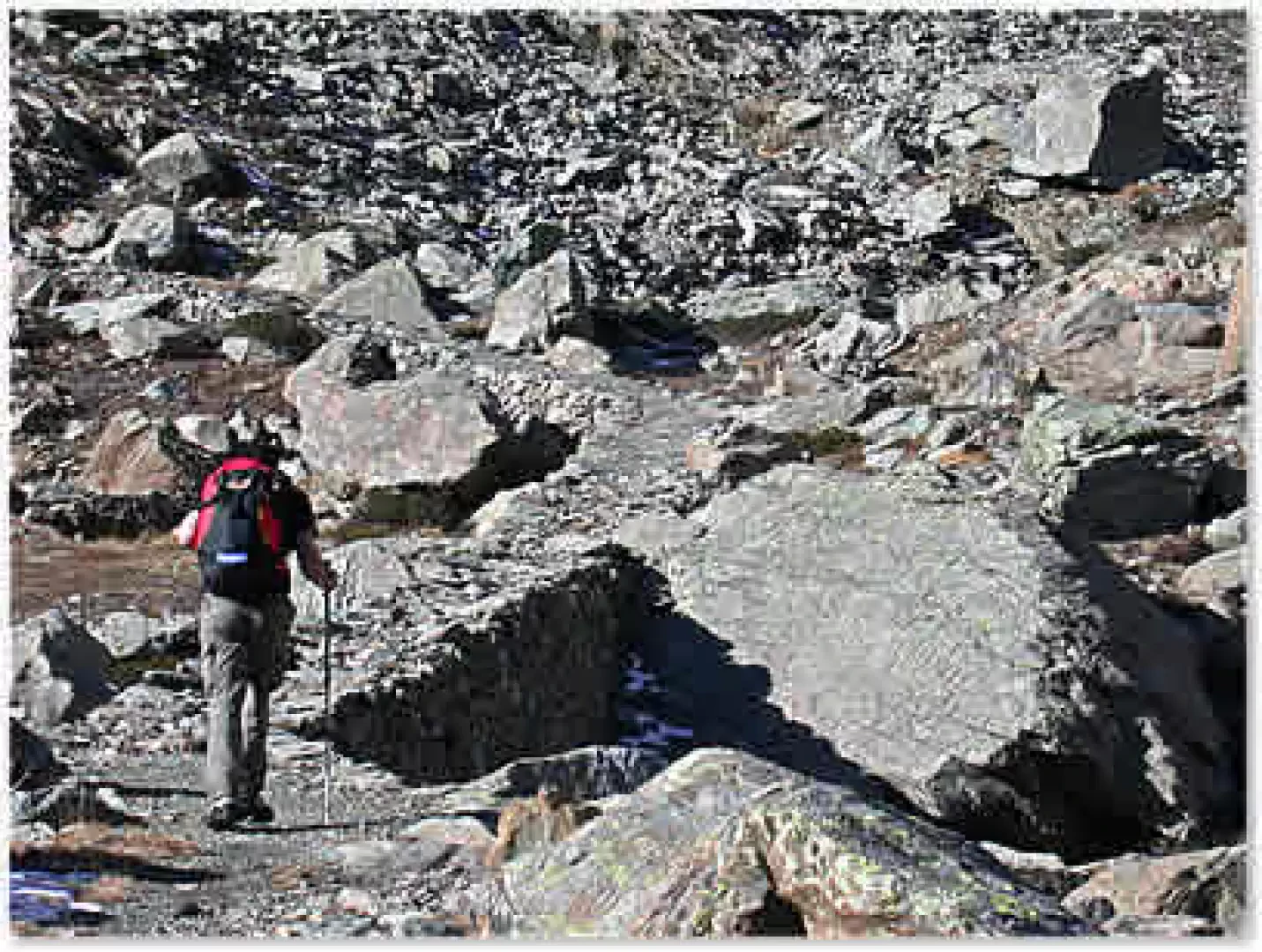
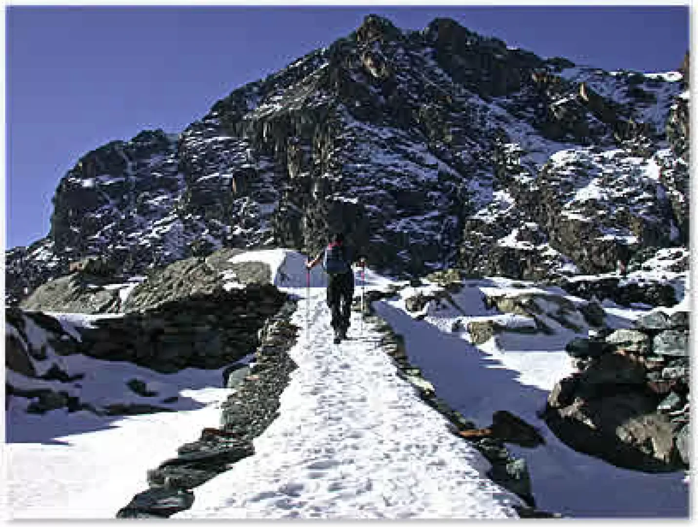
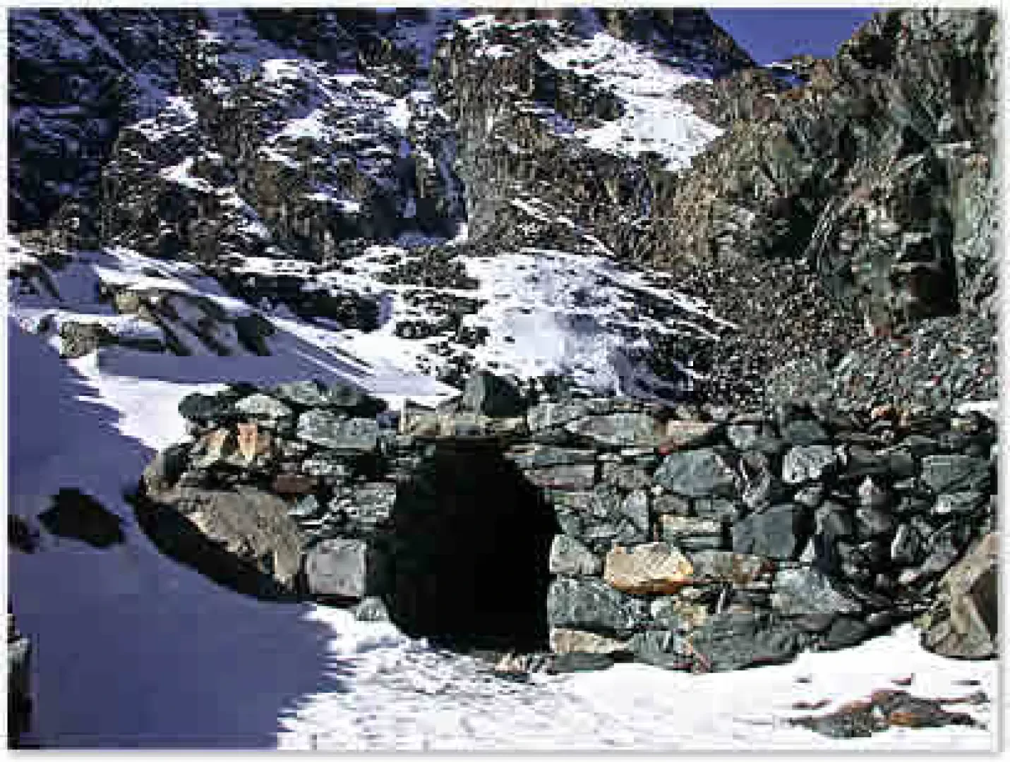
Parking the car in the convenient car park in the hamlet of Völla (1300m), we immediately take a small paved road to the right of the little village church, which almost immediately becomes a farm road and without a great difference in height enters the park through a beautiful wood of larch and broadleaf trees. Soon the imposing silhouette of Mont Avic stands out in front of us. Along the way, you can make short stops to read the panels provided by the regional park, which provide information on the area's ecosystem. Having passed a small wooden bridge, after a few hundred metres we come to the junction for Mont Barbeston on the right: we continue straight on the Segnavia (5c) path until we reach, after about 20 minutes, the locality known as Magazzino: at this point, we continue on the Segnavia path set out in front of us (follow the signpost). The path enters a splendid wood of Scots pine and Pinus sylvestris (an endemic species in the Park), climbing up the orographic left of the Chalamy torrent. The path soon gains height, crosses a small bridge over the waters coming from Col Varotta. Shortly afterwards, a small footbridge crosses a ru. Slowly the forest thins out and a splendid view of the valley floor opens up. The path skirts a rocky rampart on the right, from which characteristic little waterfalls descend, while on our left stands Bec l'Espic (2355m). Leaving behind the last of the hooked pines, we cross, in a series of hairpin bends, wide stretches of alpine grassland interspersed with landslide debris. The path is always wide, clear and well marked, and every time we turn to look at the route taken, we cannot fail to notice the excellent view of the Dames de Challand, Mont Néry and Mont Crabun. After about 2h 15' of walking, we reach a stretch of paved mule track surmounted by dry stone walls; shortly afterwards, we reach a plateau strewn with detrital rocks where the mule track meanders clearly. It begins to climb steeply again, leaving a rocky rampart on the right, passing along the sides of some mine shafts and rising rapidly to the foot of a large dry stone wall. Here the path flattens out again, crosses another stretch of paved mule track and in a few minutes reaches Gelato Lake (2597 m). From here there is an excellent panorama of the Monte Rosa group and Mont Avic. The lake, nestling at the foot of Mont Iverta (2939 m), owes its name to the fact that it is mostly frozen during the course of the year. In its surroundings it is possible to find specimens of Campanula excisa, a fairly rare species in the Western Alps. The return is along the same route as the ascent.
.Galleria fotografica
We have been there

Edited by:
Marcello Rossi
Lac Gelè
Accesso automobilistico Usciti dall'Autostrada A5 a Verres si svolta alla rotonda a sinistra (direzione Aosta) e superata una prima rotonda, appena fuori dall'abitato di Verres si incontra il bivio per Champdepraz. Si attraversa la Dora e seguendo la strada si giunge alla frazione di Chevrère ove si parcheggia l'auto. Descrizione Dal parcheggio si prosegue per un breve tratto sulla strada asfaltata fino ad arrivare al parcheggio ove termina l'asfalto e dove inizia il sentiero che si imbocca a destra della via che porta alle case della frazione Veulla. Si segue il sentiero, che per i primi 30 minuti è una sterrata, che segue il corso della valle fino a quando ci si trova ad un bivio, il sentiero per il lago Gelato prosegue diritto davanti a noi guadagnando quota con pendenza moderata. Usciti dal bosco il sentiero ha una breve impennata per poi tornare a salire a pendenza moderata fino ad arrivare lungo le pendici del Monte Avic, ove con una serie di risvolti guadagna decisamente quota. Si entra così in una zona di ambiente severo ove la via corre rialzata su una struttura realizzata per favorire il trasporto del materiale cavato dalle miniere di magnetite nei pressi del lago Gelato. Il sentiero svolta a sinistra e si porta alla base di un ripido condotto ove in alto si osserva un evidente muro a secco, si risale questo canalino giungendo all'imbocco delle miniere ed al lago.