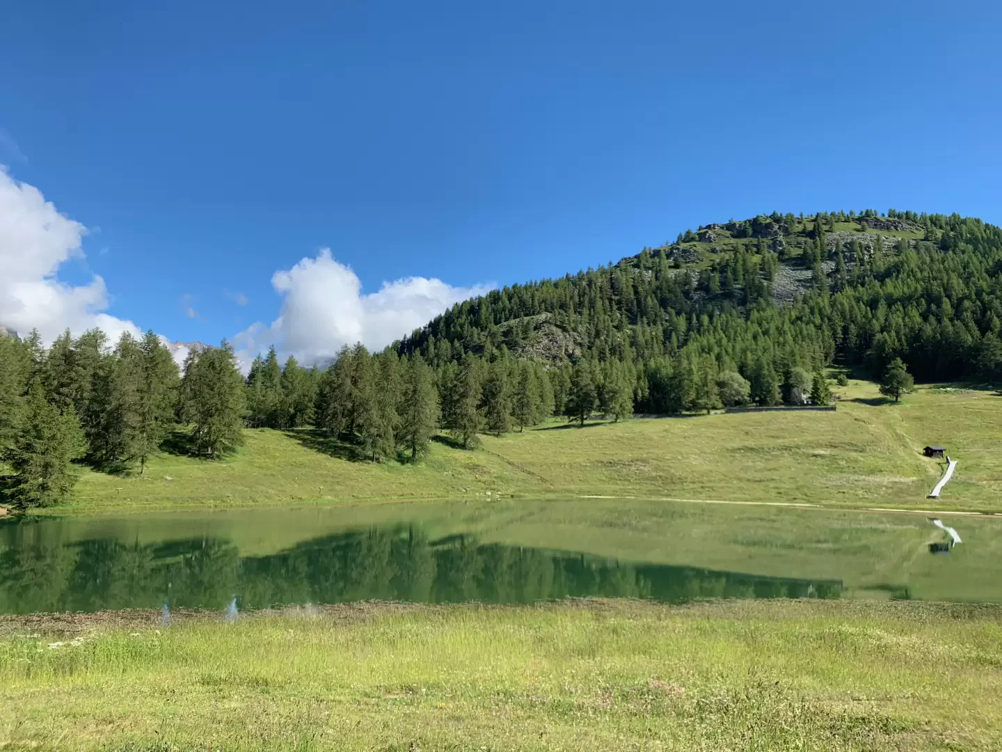
Lac de Lod, from Corgnolaz


Edited by:
Massimo Martini
Updated at: 25/10/2025
Access
Leaving the motorway at the Châtillon/Saint-Vincent tollbooth, turn left and drive up the main road to a roundabout, take the second exit and continue west on Via E. Chanoux through the centre of Châtillon. Chanoux through the centre of Châtillon, cross the Marmore stream and take first Via Menabrea to the right and then Via Martiri di Chesod before turning onto , the second exit at the characteristic roundabout with the Matterhorn in the centre. Follow the regional road for 11.2km as far as Buisson where, at the start of the cable car to Chamois, turn right down the small communal road for 150 metres before turning into the large car park 🅿️ of the cable car.
The car park is large but given the busy nature of the area it is advisable, on busy days, to arrive early enough to avoid having to leave your car further away.
Go up a flight of steps and walk to the cable car station: for timetables and costs, consult the dedicated site.
[0h18'] - [13.0km]
How to get there with GMaps
How to get there with Apple Maps
Introduction
Short walk through the pastures above the pretty village of Chamois. The ascent route is part of the Gran Balconata del Cervino.
.Description
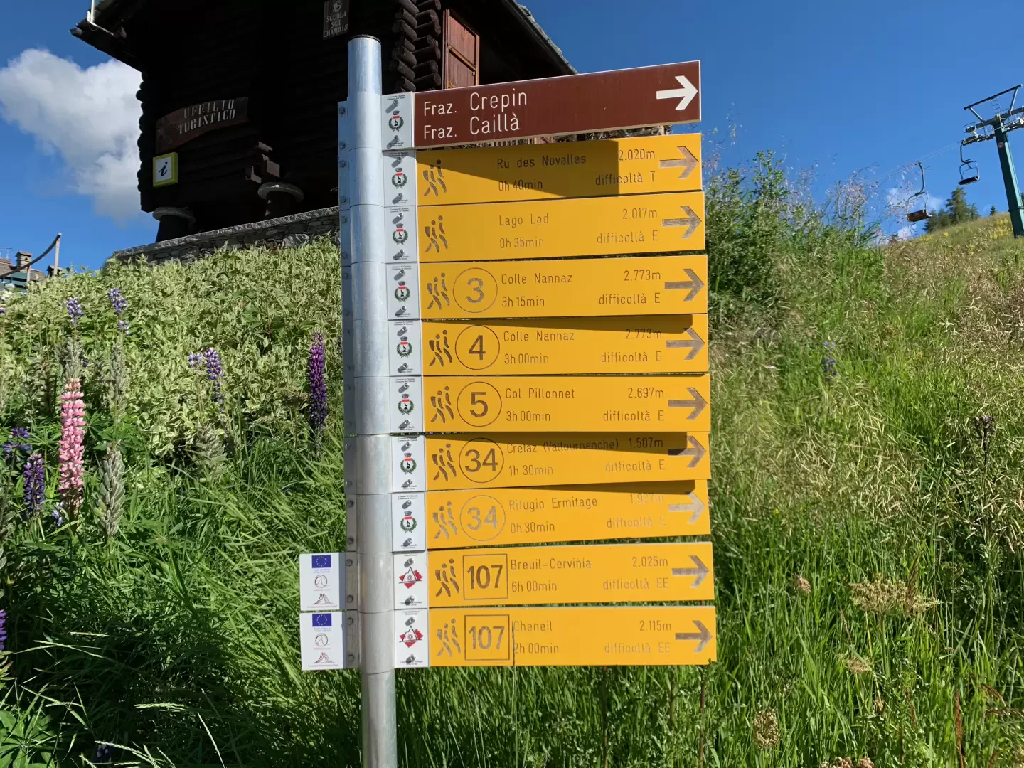
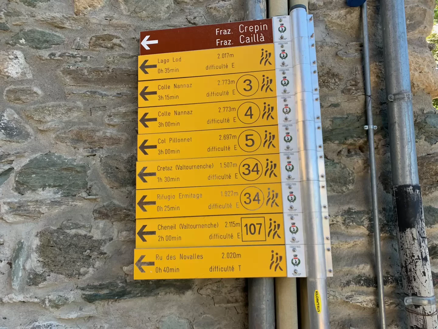
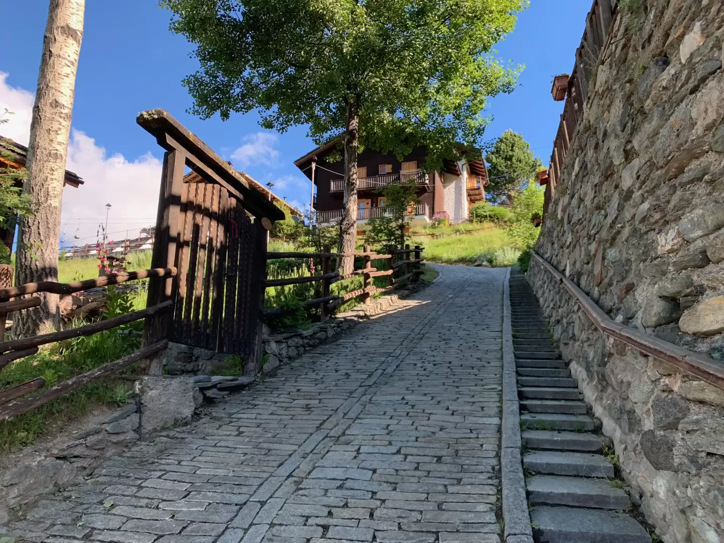
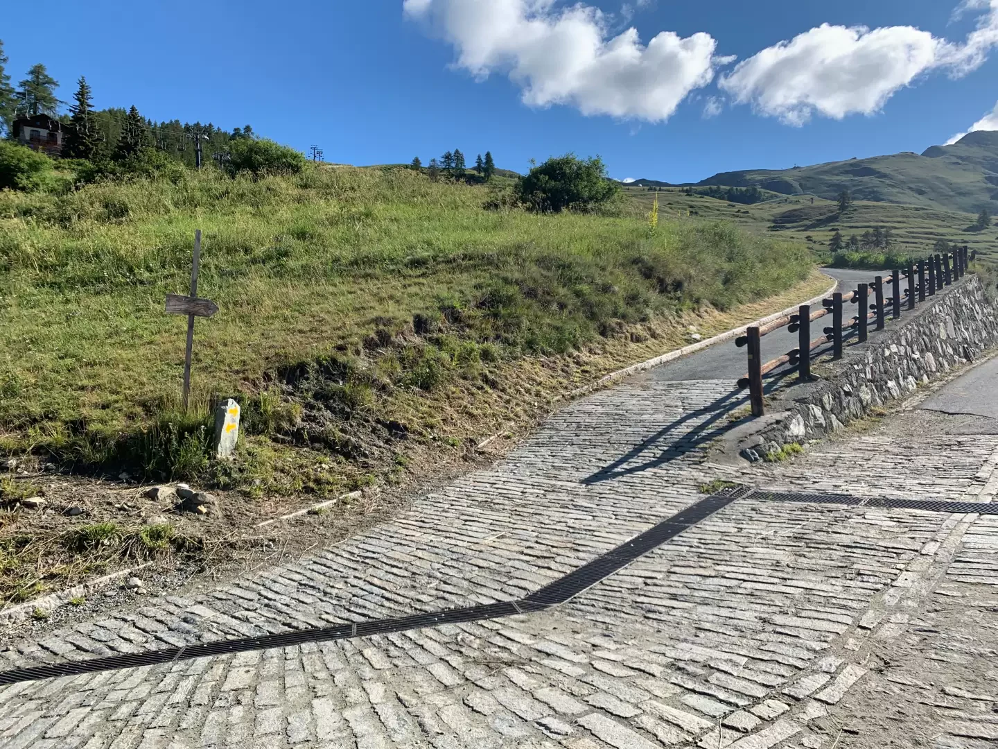
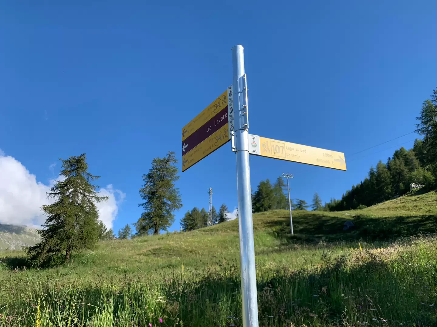
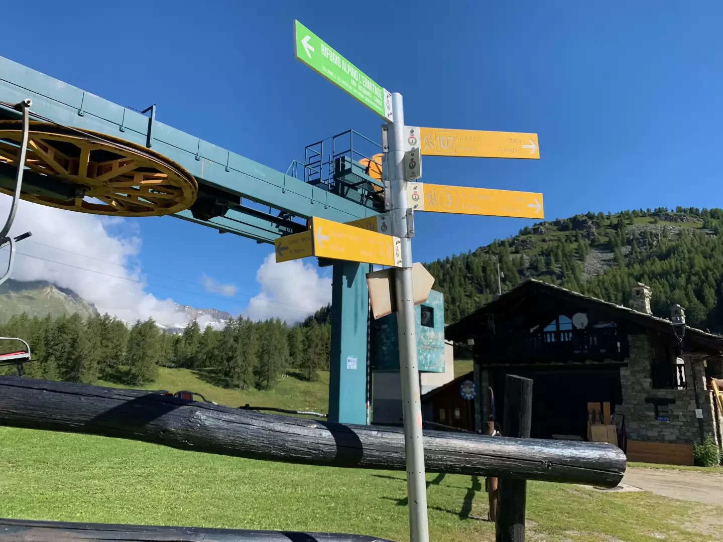
0h00' Leaving the cable car station and crossing the welcome mosaic in the village, on the left you will see the characteristic parish church of Chamois dedicated to Saint-Pantaleon and opposite appears the village of Corgnolaz, the main village in the municipality of Chamois. Proceed straight ahead until you come to a group of signposts indicating the main itineraries in the area. Follow the signs for Lake Lod, on the markers there is no number but the signpost is actually . Walk up the village until you come to another set of markers suggesting a left turn. Take a steep ascent that in a few minutes leads above the village. After passing the last houses and a small playground with a picnic area, there is a new marker near the start of the path.
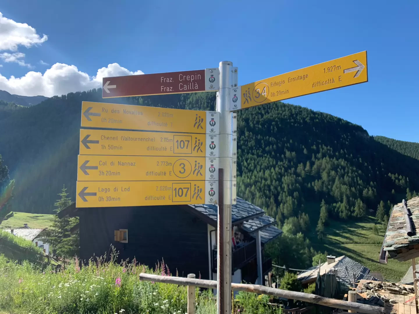
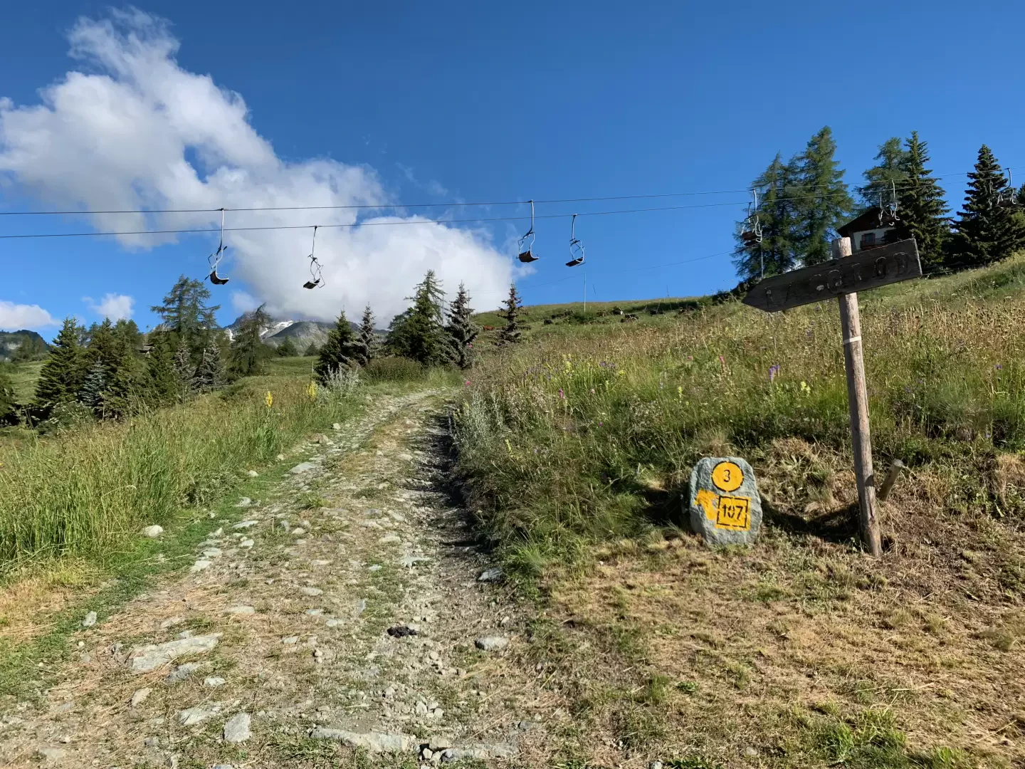
0h05' Take the path that cuts across the pastures, passing below the chairlift. Some wooden panels indicating the lake confirm the correct path to take. The path climbs up the pastures and skirts a few houses, entering a small scrub of larch trees before joining the farm road that leads to the L'Ermitage hut.
0h20' Neglect the road and take the path that crosses it a couple of times before passing under the chairlift again and arriving at the chairlift arrival station. By now you have reached the lake: turn left and, after meeting a fountain💧, you can reach the edge of the lake and, a little further on, a picnic area 0h35'.
The return journey is along the same route as uphill 0h20'.
Galleria fotografica