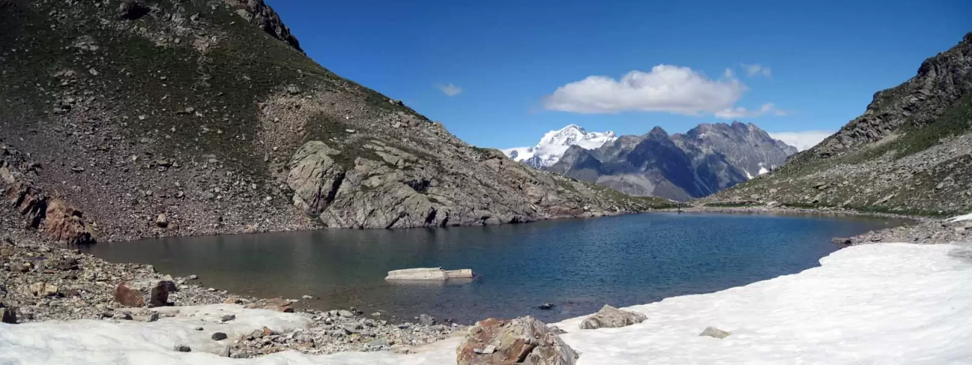
Lac d'Arpisson, from Valpelline

Edited by:
Giancarlo Beretta
Updated at: 03/09/2024
Introduction
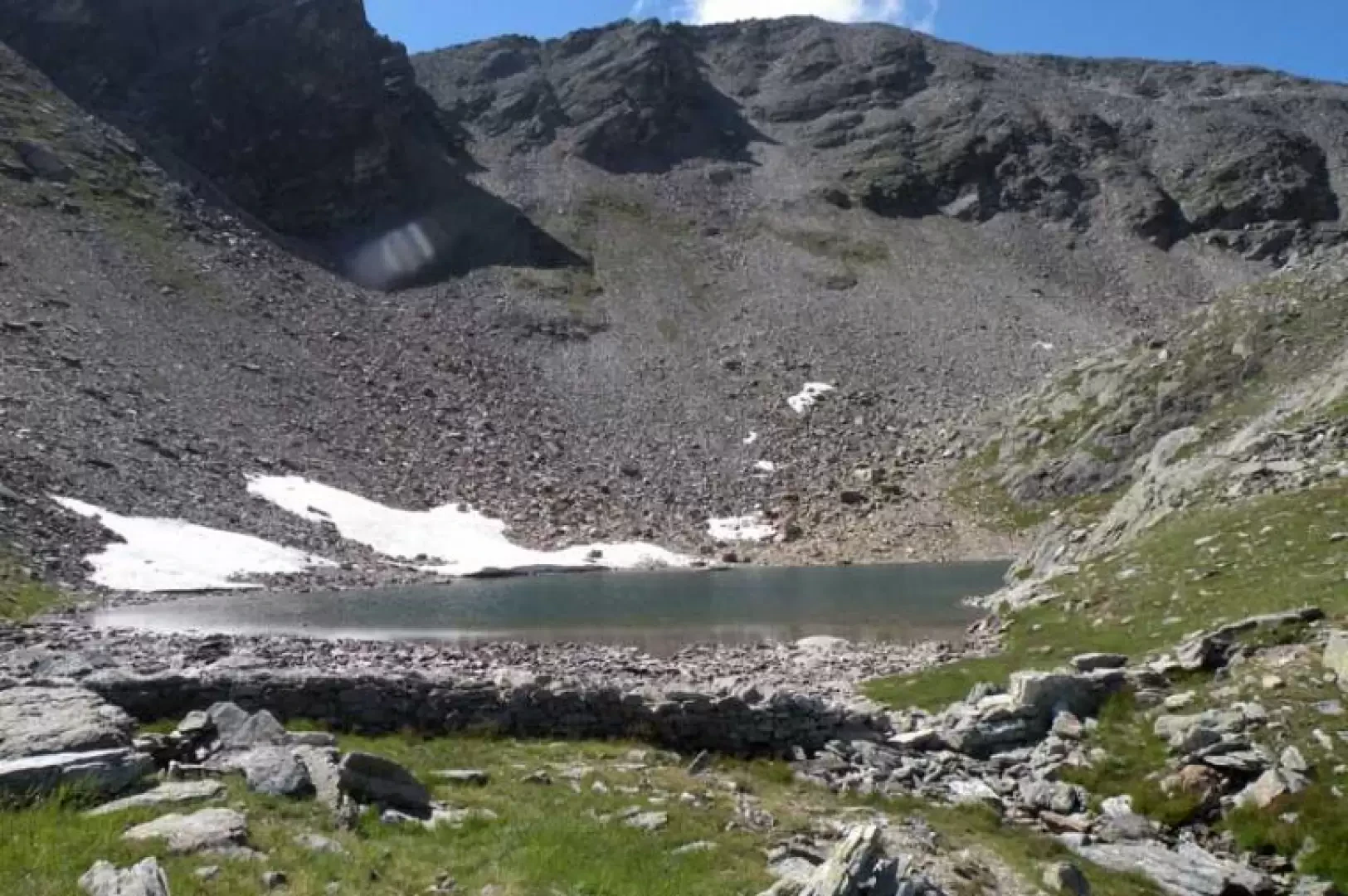
A long hike with a high altitude difference to a lake, where silence, solitary environments and alpine fauna are sure to be found. The environments traversed start from the beautiful coniferous forests of the lower part to the old alpine meadows with their green pastures and then arrive at the beautiful moraine lake. The route is always well marked except for a few slightly faded markers and a few tracks that for short stretches get a little lost in some pastures; the panorama is closed in by the high stony slopes of the Punta di Seneva and Testa di Arpisson, while the view northwards towards the Grand Combin is beautiful.
.Description
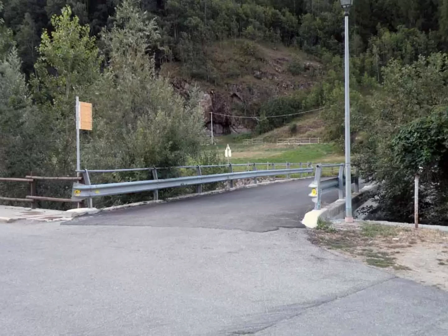
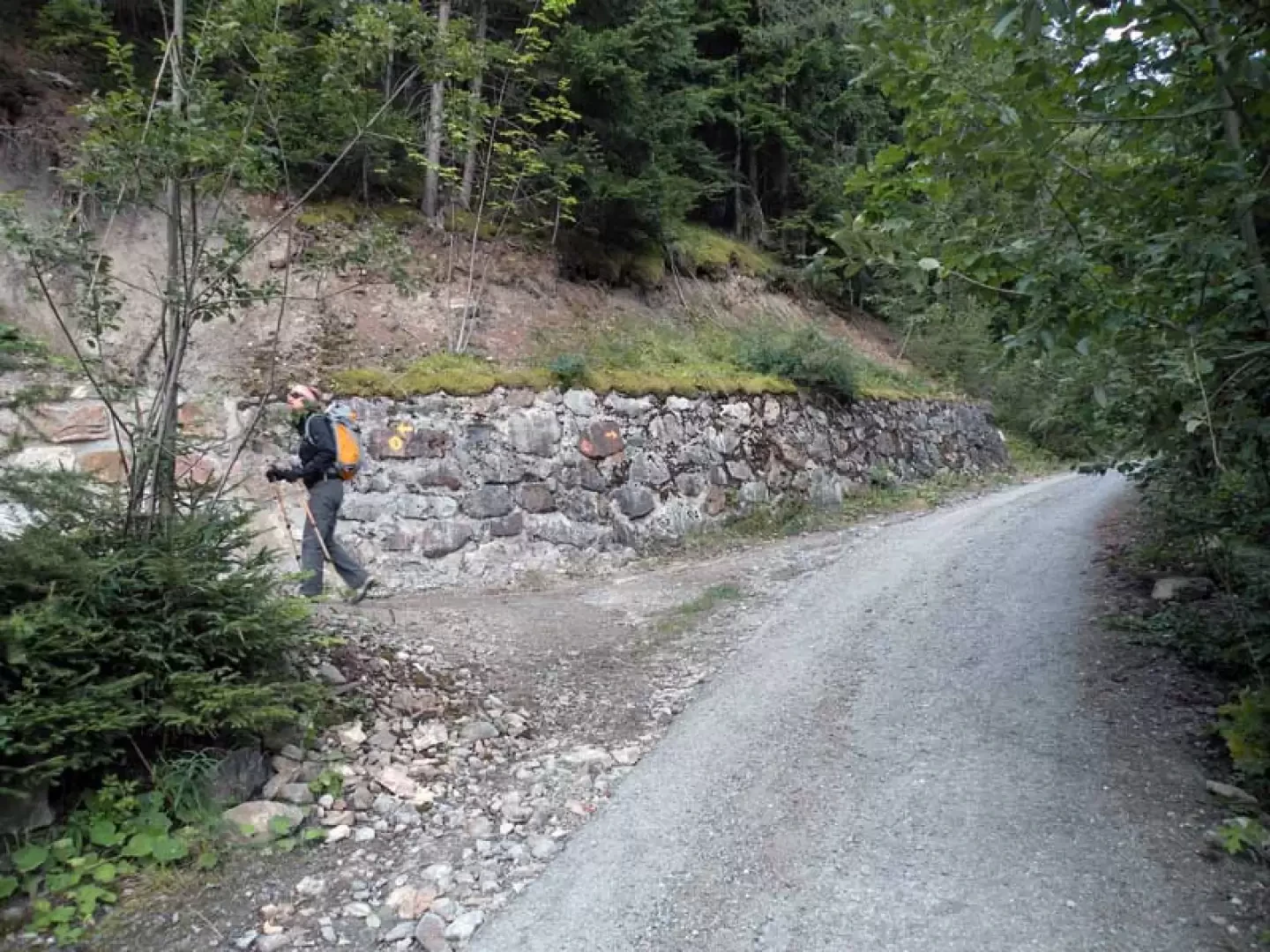
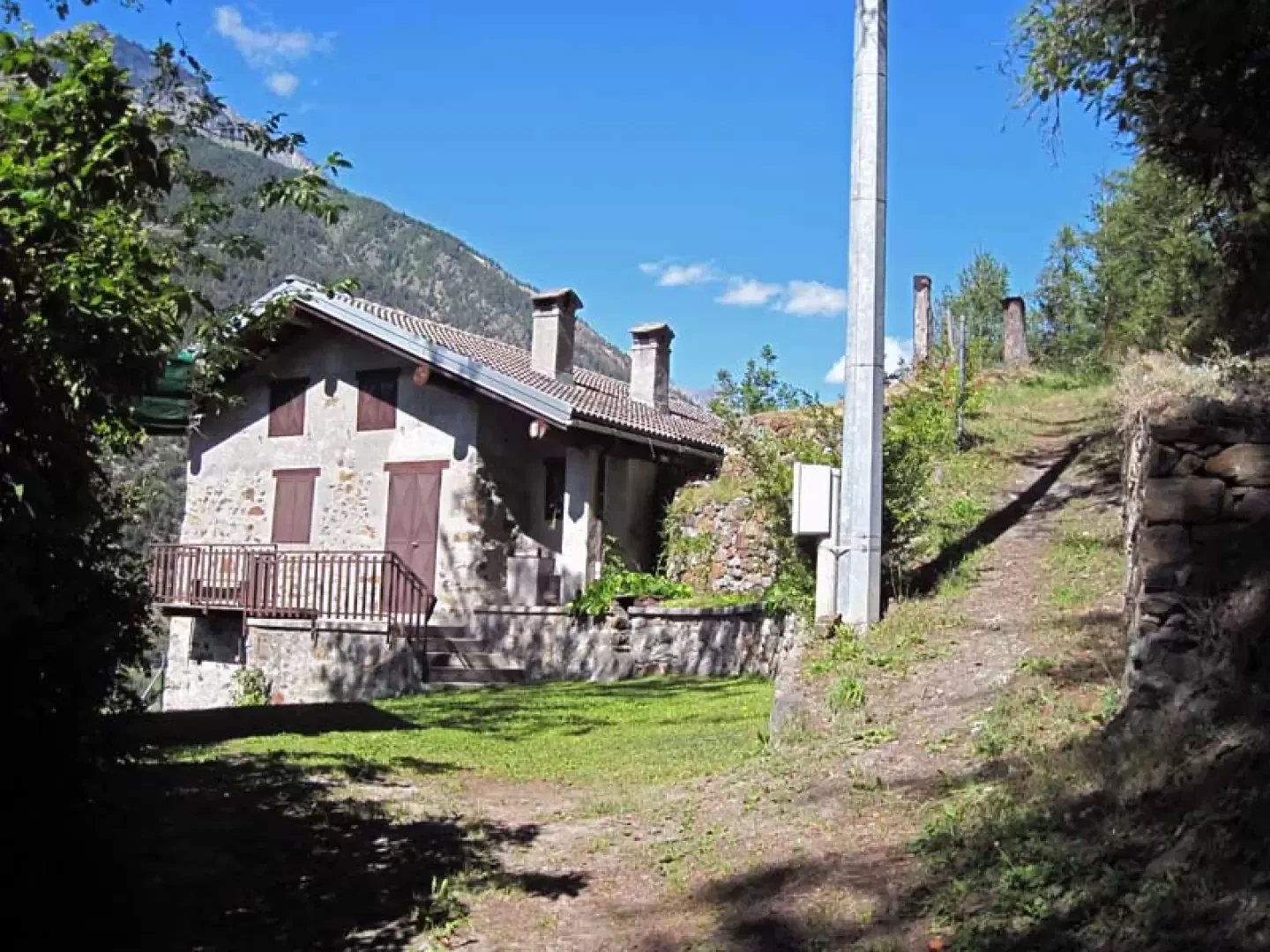
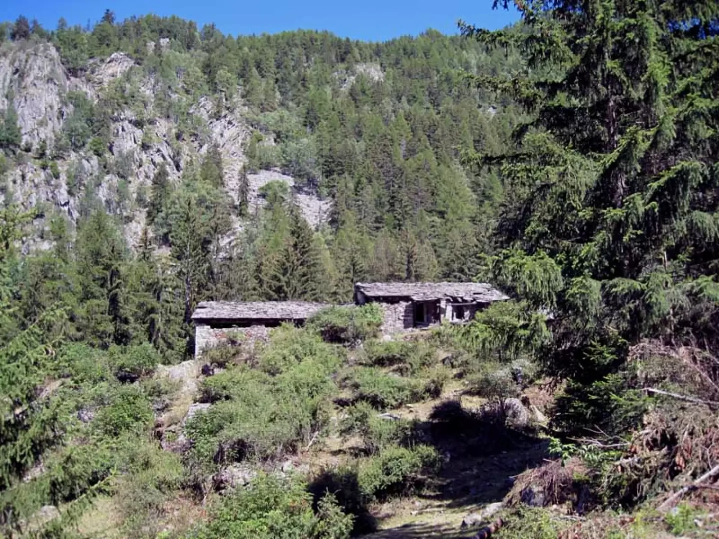
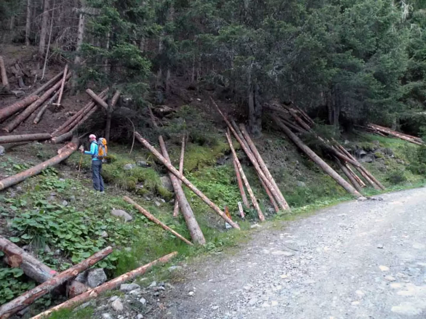
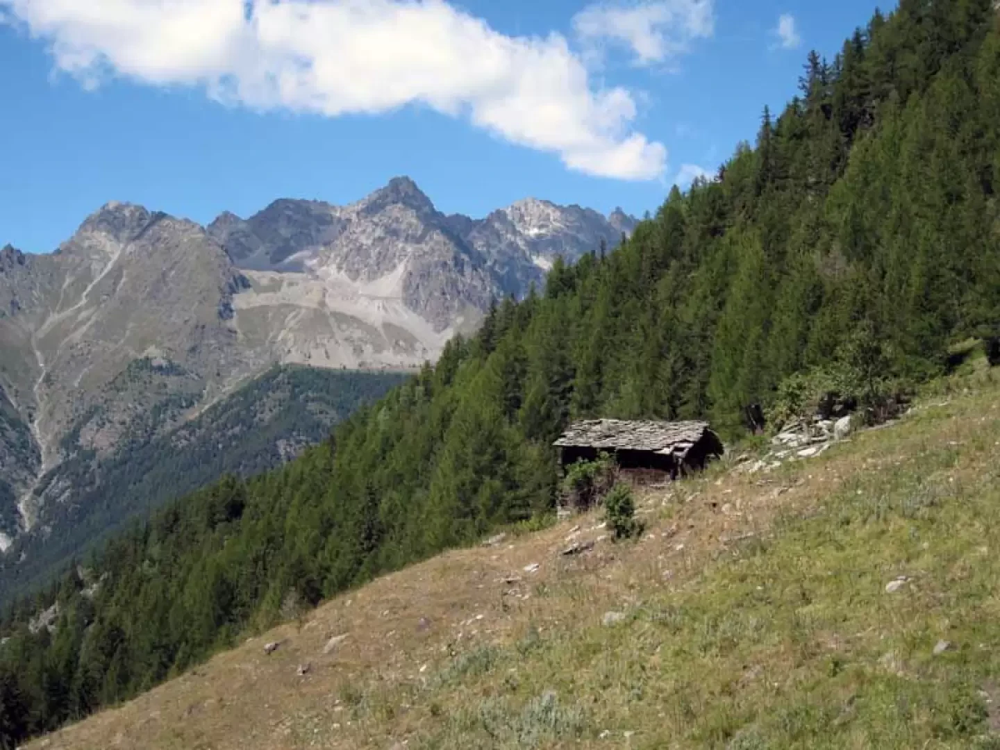
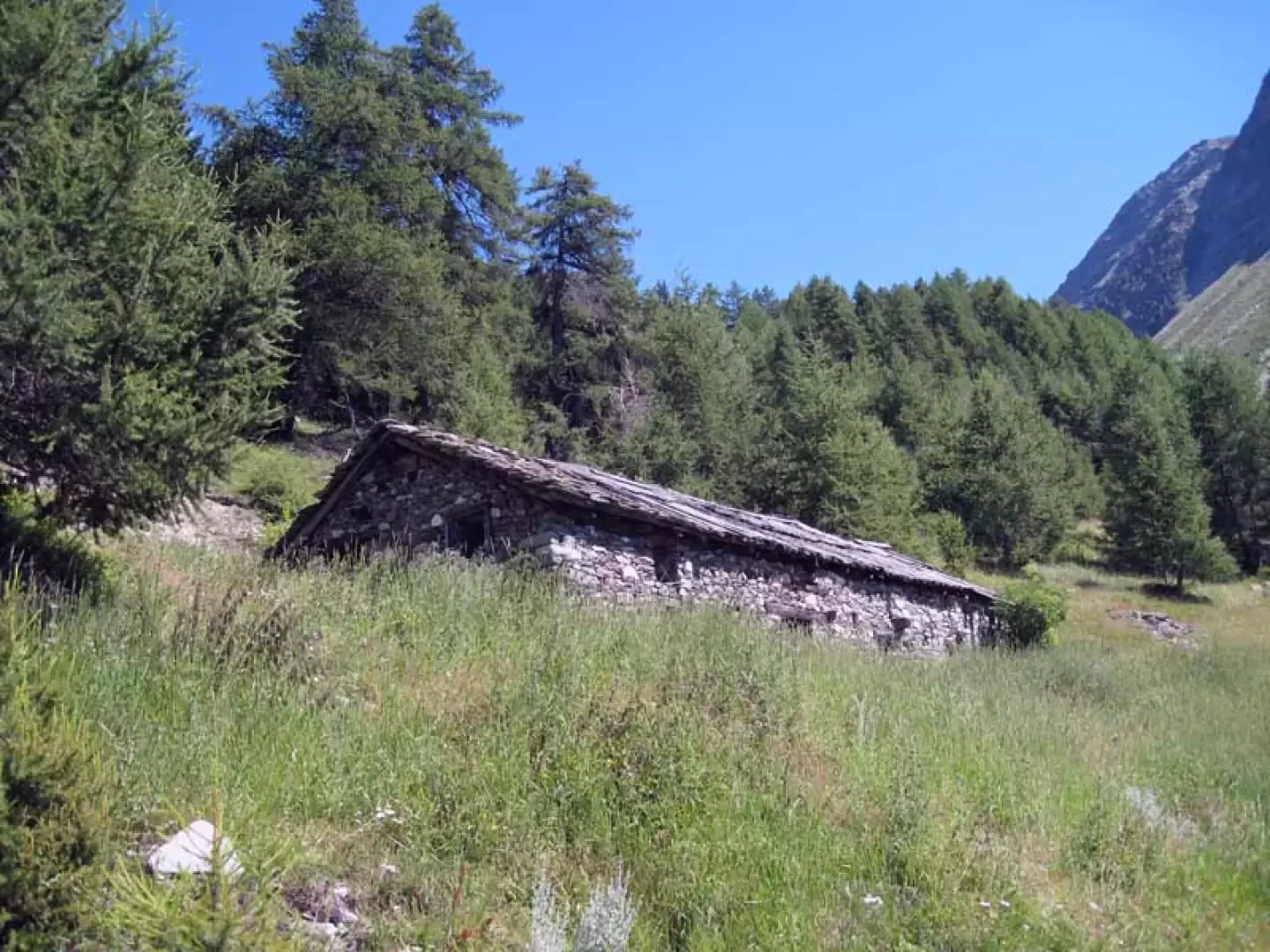
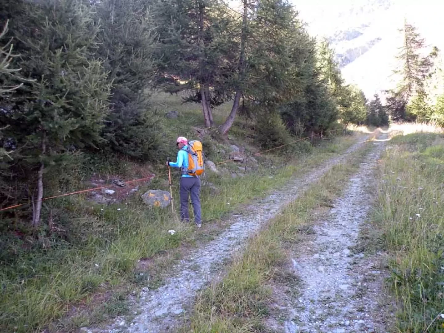
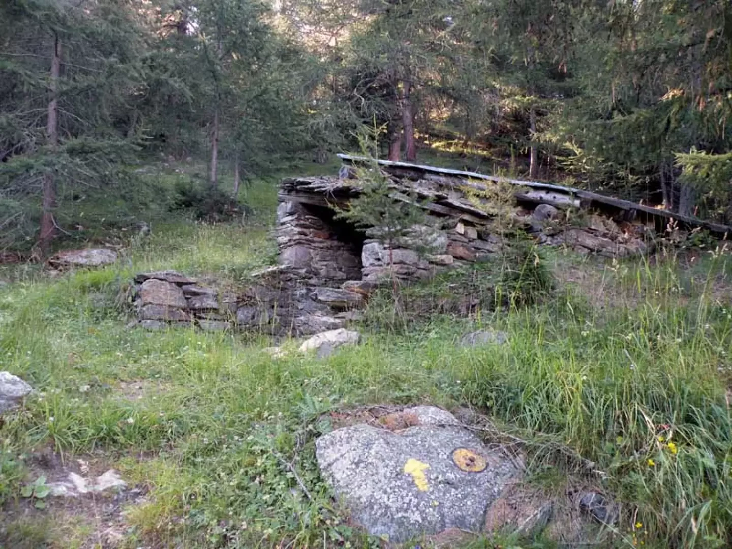
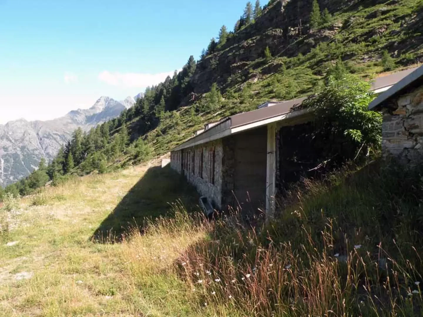
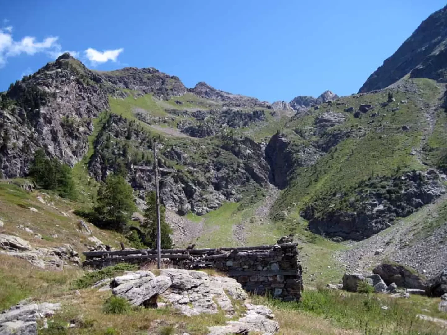
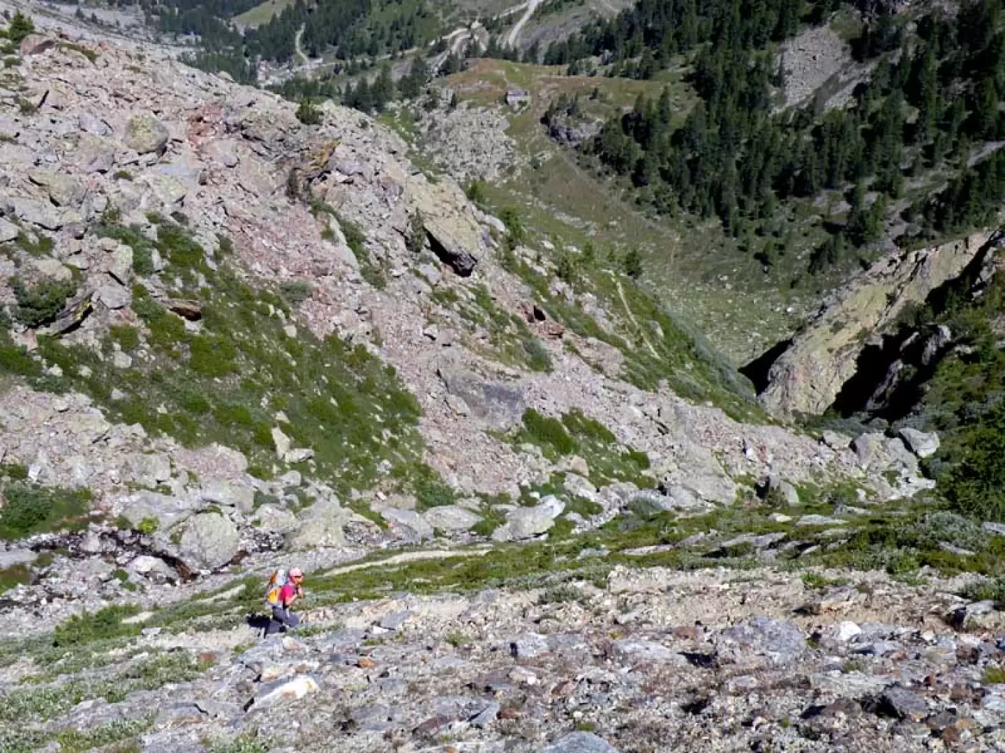
From the car park, continue along the road slightly downhill until you come to a bridge on the right where there are signs for the start of the excursion; cross the bridge and climb up the small grassy hump opposite where, after a few steps to the right, you will find the start of the path marked by a yellow marker on a rock to the left. After a short distance, you cross a road (1105 m) where you walk for a few metres to the right, immediately finding a fork signposted by yellow markings on the retaining wall (1115 m) at which you climb to the left; you pass a short distance from a hut to arrive just above Ronceaz (1131 m) to the right of which the path rises up that enters the beautiful coniferous wood and which, with numerous hairpin bends at a fairly sustained gradient, arrives at the crossroads with the farm road (1496 m). Walk for a short distance on the road, passing by the Les Planes chalets (1539 m), after which there is a bend to the right and, immediately after this, the path (1540 m), marked by a faded yellow marker on a stone, branches off to the left; We climb up into the forest with a few hairpin bends, cross the stream on a small wooden bridge and, quickly gaining height, arrive near the small Verney hut (1731 m), clearly visible from below, behind which are the posts indicating that we should move to the right. Climb the grassy slope again, staying mainly in the middle of it, until you come to the crossroads again with the farm track (1787 m), which you follow to the left, reaching the Arpisson hut (1845 m); Go around it on the left and, continuing for a short distance along the road, you will again find the path that, marked by a marker on a stone, starts out on the left (1857 m) and enters a small forest where you pass a small stable and then, coming out into more open spaces, go up a pasture above which you will reach the Porillon mountain pasture (2013 m). Take the dirt track that passes behind it and follow it, making a slight uphill traverse, to its end at the ruins of Fouillou (2091 m), next to which there is a post where you keep to the right; continue now, ignoring another path to the left (2103 m), approaching the head of the valley to the right of which a steep track rises up that immediately gains height with many hairpin bends and then moves with a traverse to the left. You pass a convenient rocky ledge and continue, still on a steep path, to climb the high grassy bastion above which is the basin of the Arpisson lake (2483 m) situated in a detrital basin. Photo gallery
Galleria fotografica