La Fenêtre, from Golette
Access
From the motorway exit of Châtillon, turn left along Via E. Chanoux. Go past the roundabout, third exit, and continue through the old town centre for about 600m, then turn right into Via Menabrea, which you should follow until you reach the roundabout with the "Cervino" on the inside. Follow the regional road for 8km to Antey-Saint-André where, at Hotel Filey, turn left to take the regional road to Torgnon. Climb up the regional road for about 6 kilometres to reach the main town of Mognod. Continue straight on, following the signs for the ski lifts. After 400 metres at a hairpin bend to the left, take the municipal road on the right, following the signs for Petit Monde, Triatel and Etirol. Now continue on the narrow road until you reach the village of Triatel and finally that of Etirol, where you will find a small car park 🅿️ near the village. If the car park is full, you can turn around and park near the Moulin.
[0h41'] - [28.4km]
How to get there with GMaps
How to get there with Apple Maps
How to get there with Moovit
These indications are based on direct verification carried out at the time of surveying the route, so the information should be checked before embarking on the hike. We recommend using a GPS navigator or map app on your smartphone to get up-to-date and detailed directions.
Introduction
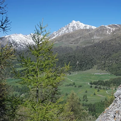
La Fenêtre is one of the three hiking passes linking Torgnon with the Saint-Barthélemy valleys. This short hike provides a view of the opposite slope, with interesting views of the whole basin.
Description
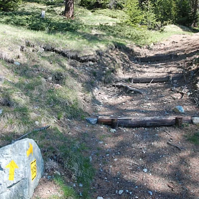
0h00' From the car park, follow the little communal road that heads towards Champtorné, after a couple of bends you will reach a marker signposting the start of the path.
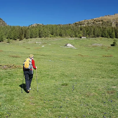
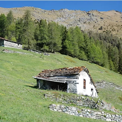
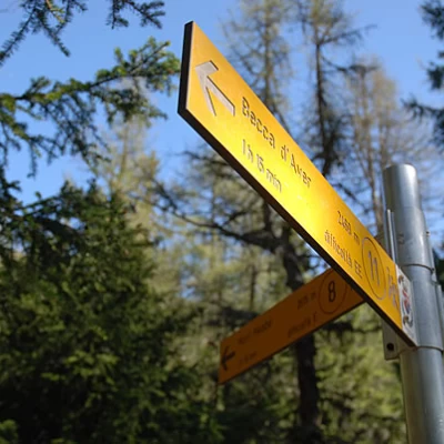
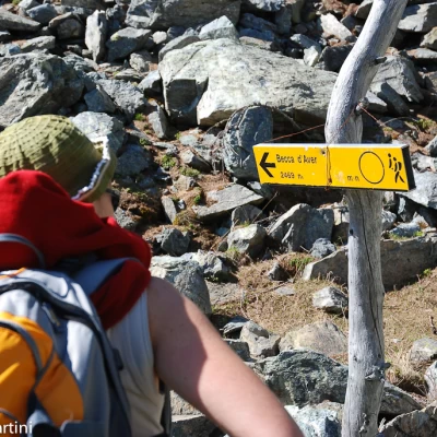
0h05' Having met the marker signposting the Becca d'Aver (wrong numbering), go up the pasture towards the ruins of Fontarin desot (1914m).
0h10' Shortly afterwards, you will reach the track that runs alongside the Ru de Varrayes, cross it and start to climb again, passing close to the other ruin of Fontarin damon (1943m).
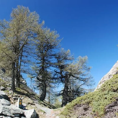
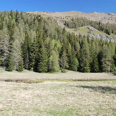
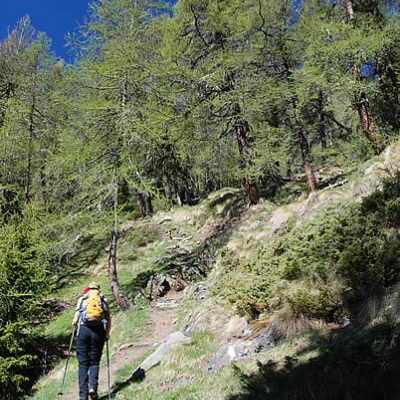
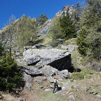
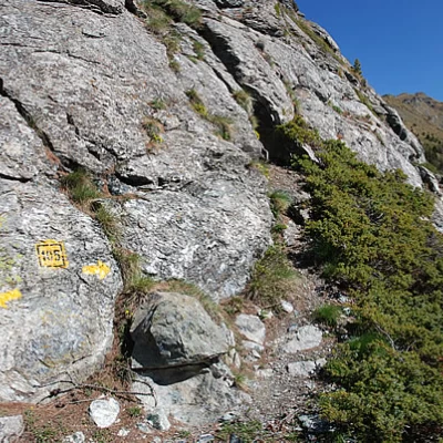
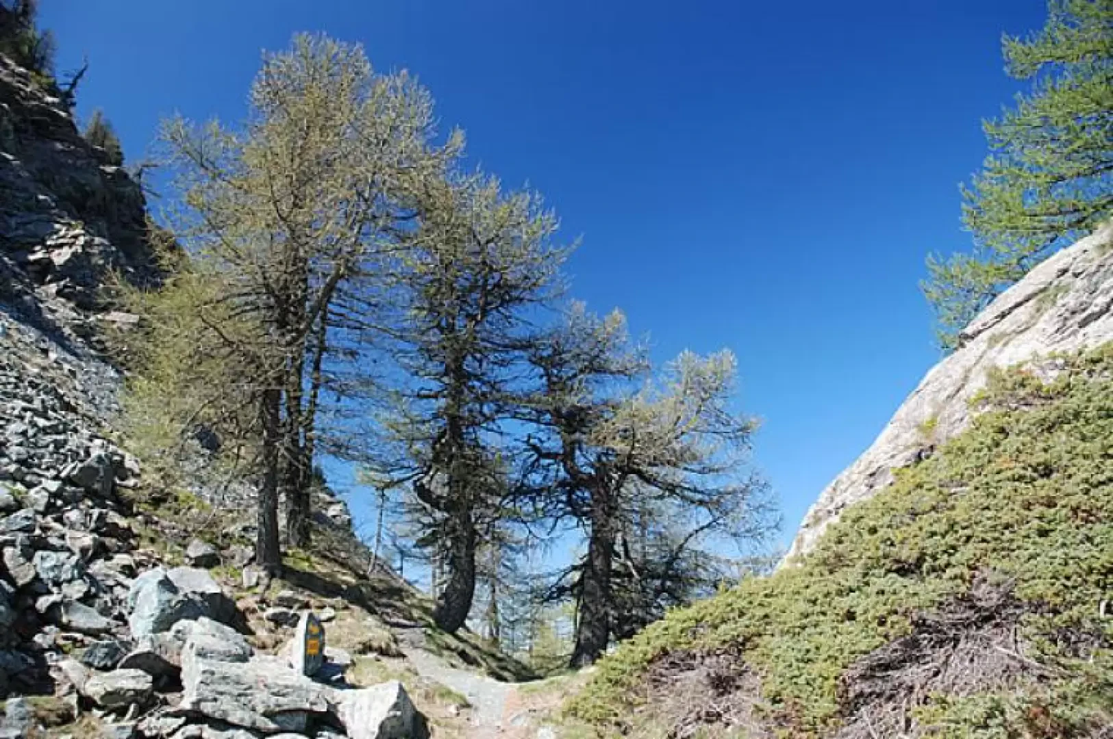
0h20' After reaching a second agricultural track, go up the path - , which is very evident and well maintained. One enters the fir forest until reaching a pleasant clearing in which there is a small ephemeral pond (only present at the beginning of the season). One crosses the clearing and re-enters the fir forest, walking through it until reaching the crossroads for Mont Méabé (2048m): one ignores the diversions to the right and continues straight on. 0h35' The destination is not far away, even if it is not visible at the moment; after a short, slightly uphill stretch that leads the hiker to a second small clearing, we begin to climb decisively, still following the beautiful path. With a series of small bends, you soon find yourself at the edge of the pass, preceded by some large boulders; a slight turn to the left and you finally reach La Fenêtre (2175m) 0h50' .
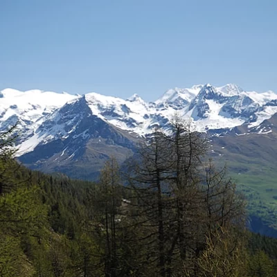
The pass is very narrow and the panorama is very limited, although very interesting: there is a splendid view of the Rosa group (Valtournenche side), an interesting view of Mont Faroma (Saint-Barthélemy side) and a limited view of the not so distant Mont Méabé.
