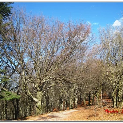
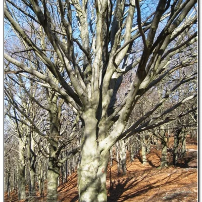
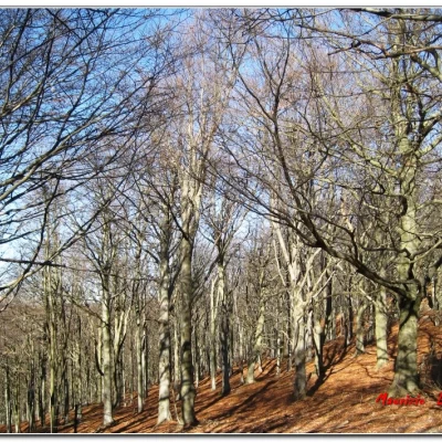
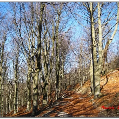
The Colle del Melogno beech forest
Access
You exit the Genova Ventimiglia motorway at the Finale Ligure junction and turn right towards Calizzano. After about 15 km, you arrive at the Melogno pass, near the 19th-century fort with a large clearing where you can leave your car.
Introduction
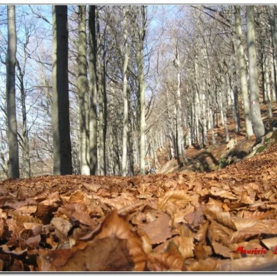
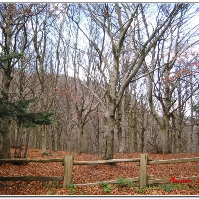
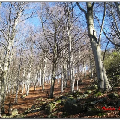
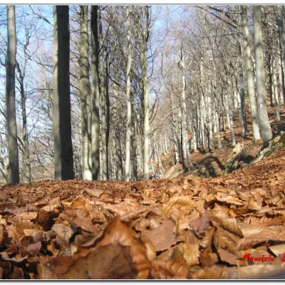
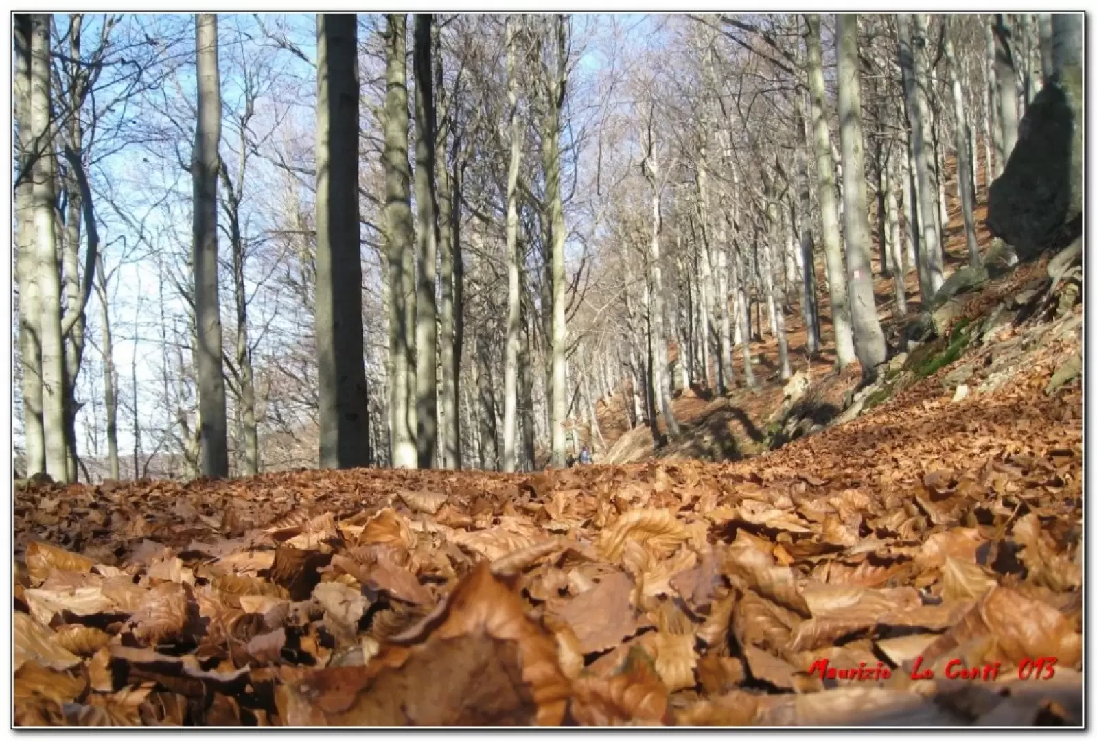
The Melogno beech forest is one of the main ones in Liguria and it is possible to make an interesting loop through the woods.
Description
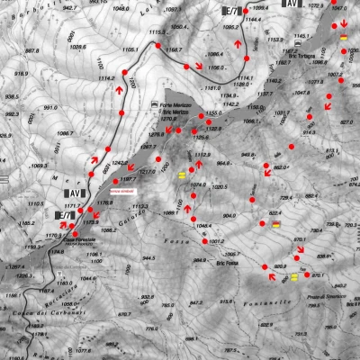
Instead of the AV (used as a return route), one chooses the Terre Alte path (yellow-red flag) and loses altitude on a wide track. The path called 'dei Forti' runs through an area that was built with several structures for defensive purposes against the French. In fact, during the tour you only pass a few buildings, but you can hardly see anything... after almost an hour, the dirt track ends to enter a denser forest. In 5', you arrive at an altitude of about 870m, at a crossroads (not at all obvious!), and turn right at 270 degrees (now following some very old yellow markings). You come out of a meadow and climb straight up into the vegetation.
The path is very poorly maintained (which is in contrast to the fact that there are more signs along the asphalt road than on the terrain, which leads to little or nothing). This is followed to the right for a few minutes. One proceeds uphill and from a wider clearing one goes to the left (leaving the dirt track) noting on a tree the yellow symbols that are to accompany us. The track becomes more marked and ends up joining another wide track (to the right straight uphill). The symbols are few and far between and you need a good dose of experience not to lose your way. Then, after a couple of sharp bends (still the main route), it joins a wide dirt track. To the right, the Sentiero dei Forti continues (of little significance, since Fort Tortagna is now private and therefore fenced off from below and unreachable), while to the left, one ascends a dirt track with no signposts. Continue straight on until it flattens out (about 1230m) and then descends. Thirty minutes and you meet the AV near a forest house (1170m), with a few benches and tables (lunch break).
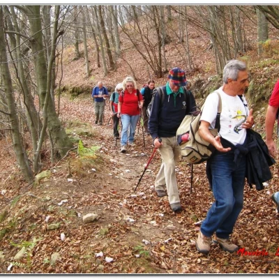
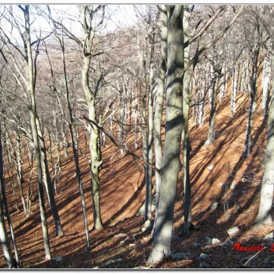
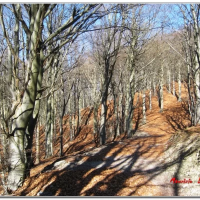
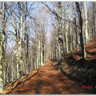
Afterwards, you return with the AV towards Melogno (going to the right with respect to the path you came from before the stop) through a spectacular beech forest (literally fantastic...). Pass through a gate, after which, on the right, there is a diversion to the remains of the Merizzo fort, but these are only walls on the top of the mountain, in an area that is not even very scenic... Continue straight ahead on the level, admiring tall trees... In about 1h, you are back at the car for a tour that is not too tiring (350m of difference in altitude), but with a central part that is not very suitable (scarce symbols and many forks) for those with little experience (in this section EE for the difficulty of finding the right route)...
if you want some photos, they are at the link
http://www.cralgalliera.altervista.org/anno2013.htm at the corresponding link
Other photos, related to the excursion inspection, at the third-last link of
http://cralgalliera.altervista.org/altre2011.htm
NB: in the event of an excursion, always check with FIE, Cai, any park authorities or other institutions, pro loco, etc., that there have been no changes to the route, that there have been no changes that have increased the difficulties! No liability is accepted. This text is purely indicative and not exhaustive.
Info Hiking Section Cral Galliera: http://www.cralgalliera.altervista.org/esc.htm
General information
Trail:from Colle del Mologno
Signposts:yellow-red flag TA, two yellow lines, no symbols and white-red flag AV
Type of route:circular
Recommended period: May, June, July, August, September, October
Sun exposure: south
Objective Danger:the central part of the route is unsuitable for inexperienced hikers (poor, faded and absent symbols; many forks - in this section EE for difficulty in finding the right route)
Galleria fotografica


