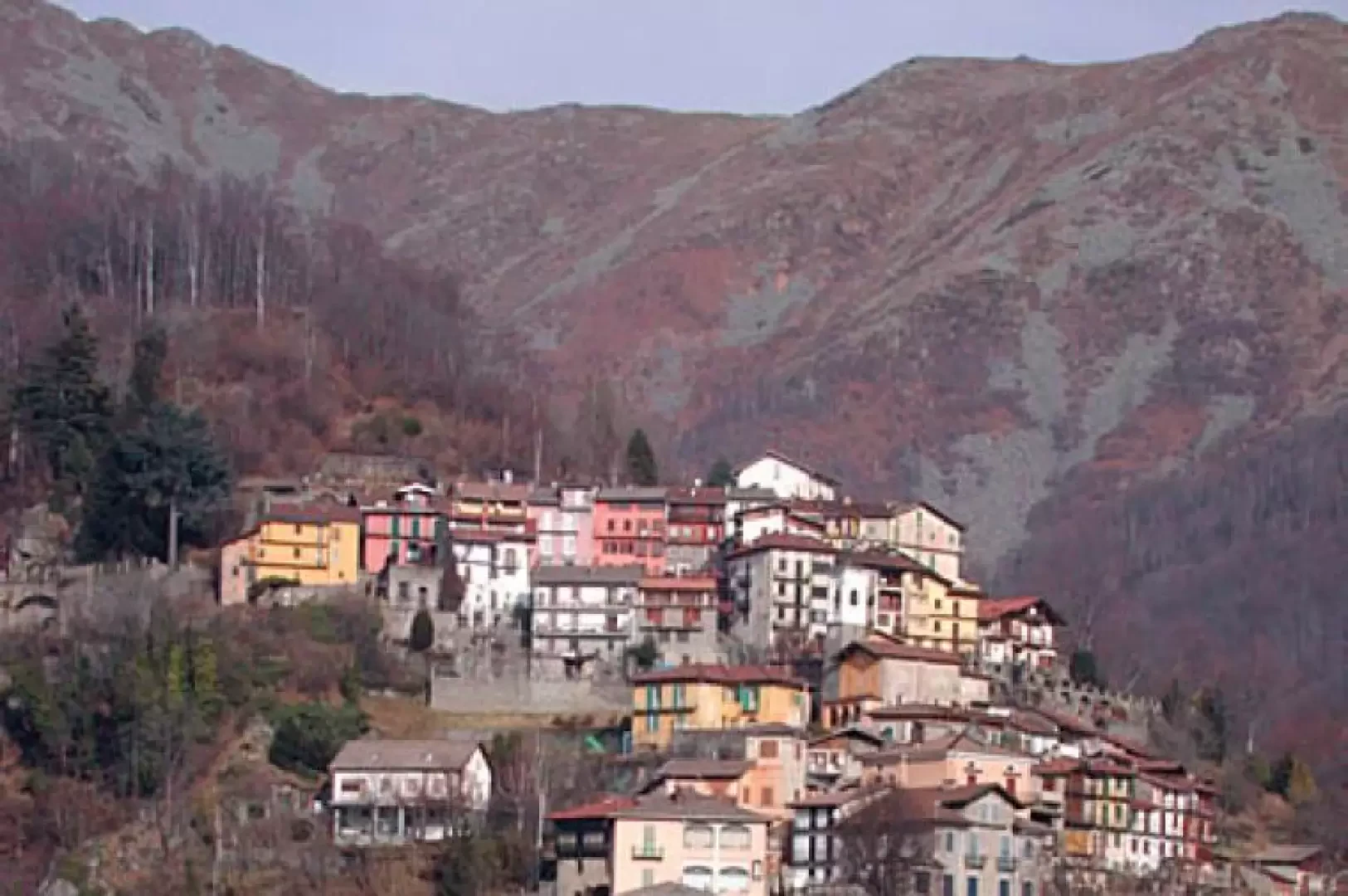
The Travès

Introduction
This itinerary is a journey into the past along some of the footpaths that united the various hamlets of the Cervo valley when today's roads did not yet exist. Some of the hamlets were already inhabited in Roman times, such as Passobreve. The pedestrian roads are called 'I Travès' in dialect and were built with the stones of the valley, supported by dry-stone walls, paved with cobblestones or wide slabs, with the skill and expertise that made the 'valit' emigrants, who came out of the Technical Schools of Campiglia Cervo, the best builders around the world. Some of the most important road and hydraulic works in Africa, South America and North America bear the signature of local builders. The travès ran along both sides of the valley; the right side (orographic left) facing west is the Banda Sulìa, a sunny slope, the left side (orographic right) facing east, is the Banda Veja, literally old slope, meaning shady slope.
.Description
Leave the car, cross the road and continue on foot towards Piedicavallo; you will come across a beautiful fountain with a covered wash-house; a little further on, on via Crosa, two signs indicate, on the right, Rialmosso and Oriomosso. Walk along the paved footpath, supported by dry-stone walls; you will come across an aqueduct outlet and beyond, an abandoned farmstead; the path, after the first uphill stretch, is now almost level; when you reach the Males stream, you must descend to the left and wade across the stones, because the disastrous flood of 5 June 2002 destroyed the small bridge. The houses of Rialmosso appear at the top right. You can walk around the village and then return to the tarmac road, pass under an arch, and head north to the hamlet of Tomati (1,700 m, 101 m difference in altitude). The footpath is to the right after the bridge over the Males stream and crosses the hamlet uphill; this footpath is called Virit; outside the houses of Tomati it rises through the beech woods with a series of perfect, never steep hairpin bends until it reaches the lower part of the village of Oriomosso (1000 metres in length, about 250 m difference in altitude). When you reach the tarmac road that climbs from the bottom of the valley, descend it for a few dozen metres and take the diversions to the left for Monte Pila, on which there is a large cross, a belvedere over the entire Cervo valley and surrounding mountains (10 minutes). Just below the belvedere is the cemetery of Oriomosso. Retrace your steps and climb up towards the village along the steps on the right just beyond the footpath from which we emerged. Oriomosso was the most inhabited village of the Banda Sulìa. It is worth visiting it at a leisurely pace, penetrating under the arches, alongside the vegetable gardens and the perfectly built houses, all multi-storeyed and close together. You will discover curious inscriptions and ancient frescoes. Walk uphill through the entire village to the car park at its highest point, which can be reached by a diversion from the Panoramica Zegna. Follow the tarmac road to the Panoramica (1120 m) and take the Biella direction. Descend to the left along the road, lined with beech woods, for a couple of km in total. Opposite a widening, on the other side, in a niche carved into the retaining wall, there is a spring (Miners' fountain) from which motorists who come from far and wide to refuel here often draw. Continue to a knoll indicated by a sign with white writing on a brown background; descend a few metres and look out over the Cervo valley, in local dialect, La Bursch in the sense of home, house. From the knoll you can see many hamlets and villages; among the most recognisable, in front, the Sanctuary of San Giovanni d'Andorno, and below to the north, the pointed bell tower of Campiglia Cervo, beyond, Rosazza, higher up, Montesinaro (signpost with indications of the most important mountains and villages). Return to the tarmac road and continue until you find a couple of old abandoned farmsteads on the left, and a meadow below. Descend over the meadow, keeping slightly to the left, along traces of a footpath, to a henhouse above the hamlet of Sassaia, which can also be reached by a subsequent road from the Panoramica Zegna. What I have shown you is a shortcut. Sassaia also has the same characteristics as the other hamlets clinging to these rocky, steep slopes. Having crossed the hamlet to its lower limit, take the footpath downhill as far as a characteristic religious shrine with three niches: here the footpath to Campiglia Cervo starts on the right, on the left the one to Quittengo, which we follow immediately past two abandoned farmsteads. Descend as far as the tarmac road connecting Campiglia to Quittengo, and when you reach it, follow it to the left: after a while you will cross the Dom Magnani chapel, continue along the tarmac until you reach the Biella Piedicavallo road near the Balma syenite quarries. Turn left and in a few minutes return to the car.
- Sentieri del Biellese year 2005 published by CASB
- Giancarlo and Renza Regis - Camminando nelle valli Biellesi - Libreria V. Giovannacci 1991
Cartografia
- Il Biellese Nord Occidentale, Carta dei sentieri 1:25000, foglio 2, Provincia di Biella, 2004