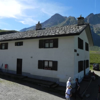
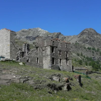
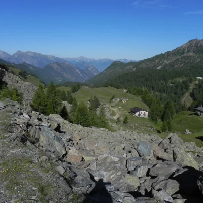
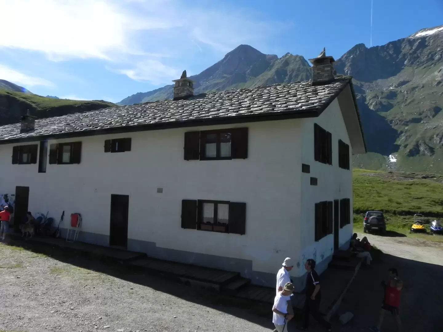
Dondena Refuge, from the Lac Muffé car park
Access
Leaving the motorway at the Pont-Saint-Martin tollgate, after 100m turn left to follow the state road in the direction of Aosta. After 500 metres, take the second exit at the roundabout and continue on the state road for 3 kilometres to the next roundabout. Take the second exit and follow the regional road in the Champorcher Valley. Continue on the regional road for 14.7 kilometres up the valley and through the villages of Hône and Pontboset before reaching Château, the centre of Champorcher. Turn right, following the signs for Dondena and climb up the little communal road for about 3.2 kilometres until you reach a clearing 🅿️ near L'Ansermet where you can leave your car.
[0h39'] - [25.8km]
How to get there with GMaps
How to get there with Apple Maps
