Northern Grigna, from Balisio

Access
SS 36 of Lake Como and Spluga. At Lecco take the tunnel for Valsassina. At the Ballabio exit, at the roundabout, follow the signs for Introbio. A few kilometres further on, just before the Colle di Balisio pass, after a petrol station, take via dei Grassi Lunghi on the left. Follow it to the end and park on a wide open space near the Sacro Cuore chapel.
Note: The via dei Grassi Lunghi is a fairly comfortable dirt road, but not without potholes and treacherous slabs of ice. Also, after eight o'clock, it is difficult to find parking, especially on Saturdays and Sundays.
Along the route there are several lay-bys where it is possible to park, but it is good to leave room for manoeuvring, as the road is narrow and does not allow u-turns.
Introduction
Beautiful and tiring excursion counted among the great Grigne classics. The difference in height is considerable and fatigue is guaranteed, especially when tackling the stretch from the Riva-Girani bivouac to the ridge, but the excursion offers great emotions, especially during the suggestive passage along the ridge in a high mountain context, even if at a moderate altitude. To be tackled with adequate training.
Description
From the car park of the Sacro Cuore chapel (828 m), walk up the easy cart track in a north-westerly direction until you find a diversion. Take the path to the right and continue on stony hairpin bends through a bare broadleaf forest until it becomes sparser and you begin to glimpse the wide meadows of Alpe Cova (1311 m). Continue uphill along a wide cart track and you will soon reach the cosy Antonietta hut at Pialeral (1400 m), located on the right-hand side of the road and also open in winter. Continue up the mule track, which soon narrows. You come to a marker indicating the Traversata bassa (east) and the summit of the Grigna Settentrionale for the Sentiero dei Comolli (north-west). Nearby, on the left, the remains of the ruins of the old Tedeschi refuge, which was swept away by a landslide, are still visible. Continue on a clearly visible track and climb in a north-westerly direction to reach the Riva-Girani bivouac (1862 m).
Up to this point the climb is always easy, especially if facilitated by hard snow and numerous passages.
After a stop at the Riva-Girani bivouac, obligatory to put on crampons and refresh yourself in view of the imminent effort, you must face a sudden change in gradient: 450 metres of ascent with an average gradient of 54%.
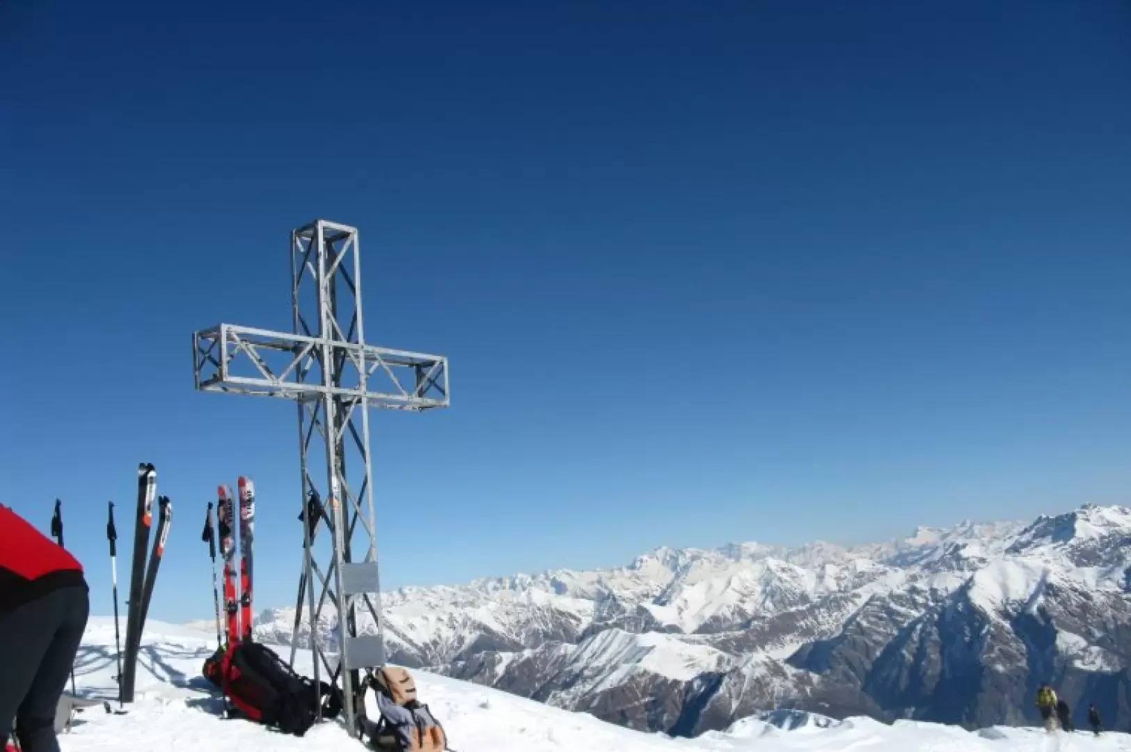
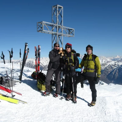
This last section is the most alpine part of the hike. The ridge is always well beaten and marked with poles and a protective cable (which should not be crossed as there are always large cornices). The route, amidst a grandiose panorama, leads, after a final ascent, to the summit cross and the Brioschi hut below (2410 m).
For the descent, retrace the ascent path, taking care when tackling the 'wall'. Depending on the snow conditions, the use of an ice axe is sometimes advisable.
General Information
Route:winter from Balisio
Signposts: -
Type of route: a/r
Recommended period: December, January, February, March
Equipment: ice axe, crampons
Objective Danger: ridge frames, avalanches with unseasoned snow
Sun exposure: southeast
Exposed sections:few, on ridge
Maximum slope: 55°
Water: Pialeral Hut
