Grande Rochère, from Planaval

Edited by:
Benedetto Lorusso
Updated at: 20/10/2025
Access
Lasciare l'autostrada al casello e, dopo 500 metri, uscire dallo svincolo immettendosi a destra sulla strada regionale per la valle di Cogne. Dopo 450 metri, alla rotonda, prendere la seconda uscita entrando sulla strada statale , da seguire per 18,4 chilometri, attraversando i paesi di Saint-Pierre, Villeneuve, Arvier, Avise e Derby, fino a raggiungere una rotonda. Prendere la prima uscita ed imboccare Via Corrado Gex, seguendo le indicazioni per il centro di La Salle. Dopo 350 metri, svoltare a sinistra su Via dei Romani e, poco dopo, alla biforcazione, girare a destra su Via Col Serena, seguendo le indicazioni per Chaffieron. Proseguire lungo la strada comunale, superando i villaggi di Chaffieron, Chateau, Vilarisson, Remondey, Cheverel e Morge, fino a raggiungere, dopo circa 9,3 chilometri, il villaggio di Planaval. Arrivati davanti alla Baita Jolie Bergère, scendere per una stradina asfaltata fino al ponticello sul Torrent Grand Eau, superare il ponte e svoltare a destra per risalire un breve tratto di strada sterrata. Poco dopo, si troverà un piccolo spiazzo erboso adibito a parcheggio (🅿️) nei pressi del torrente.
Distanza e tempo di percorrenza
🕒 Tempo di percorrenza: 38 minuti
📏 Distanza: 30,6 chilometri
Navigazione GPS
📍 Come arrivare con Google Maps
📍 Come arrivare con Apple Maps
Nota importante
Le indicazioni fornite sono state verificate alla data del rilievo dell’itinerario. Prima della partenza, è consigliabile verificare eventuali variazioni del percorso. Per ottenere indicazioni aggiornate e dettagliate, si consiglia l’uso di Google Maps o Apple Maps.
Description
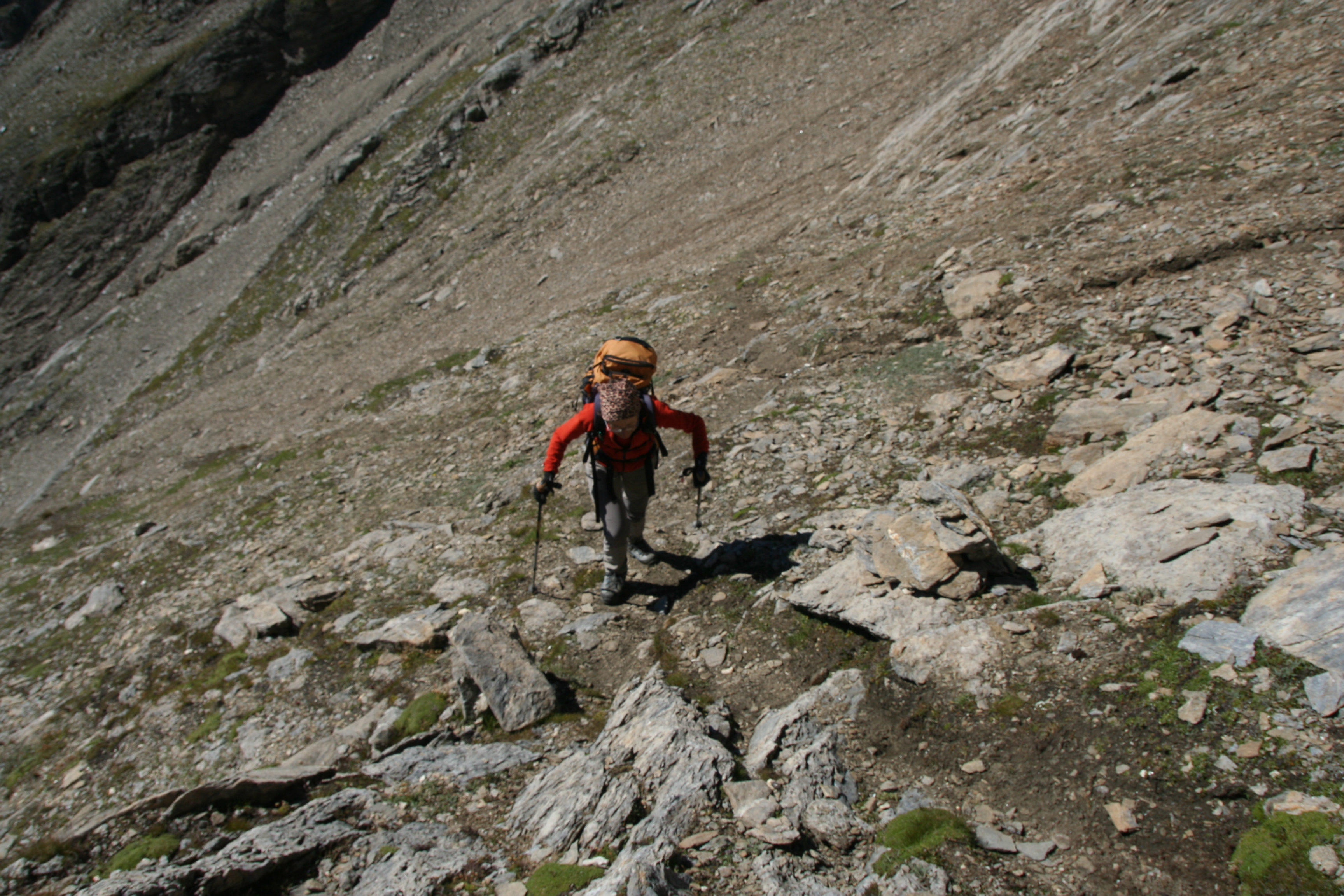
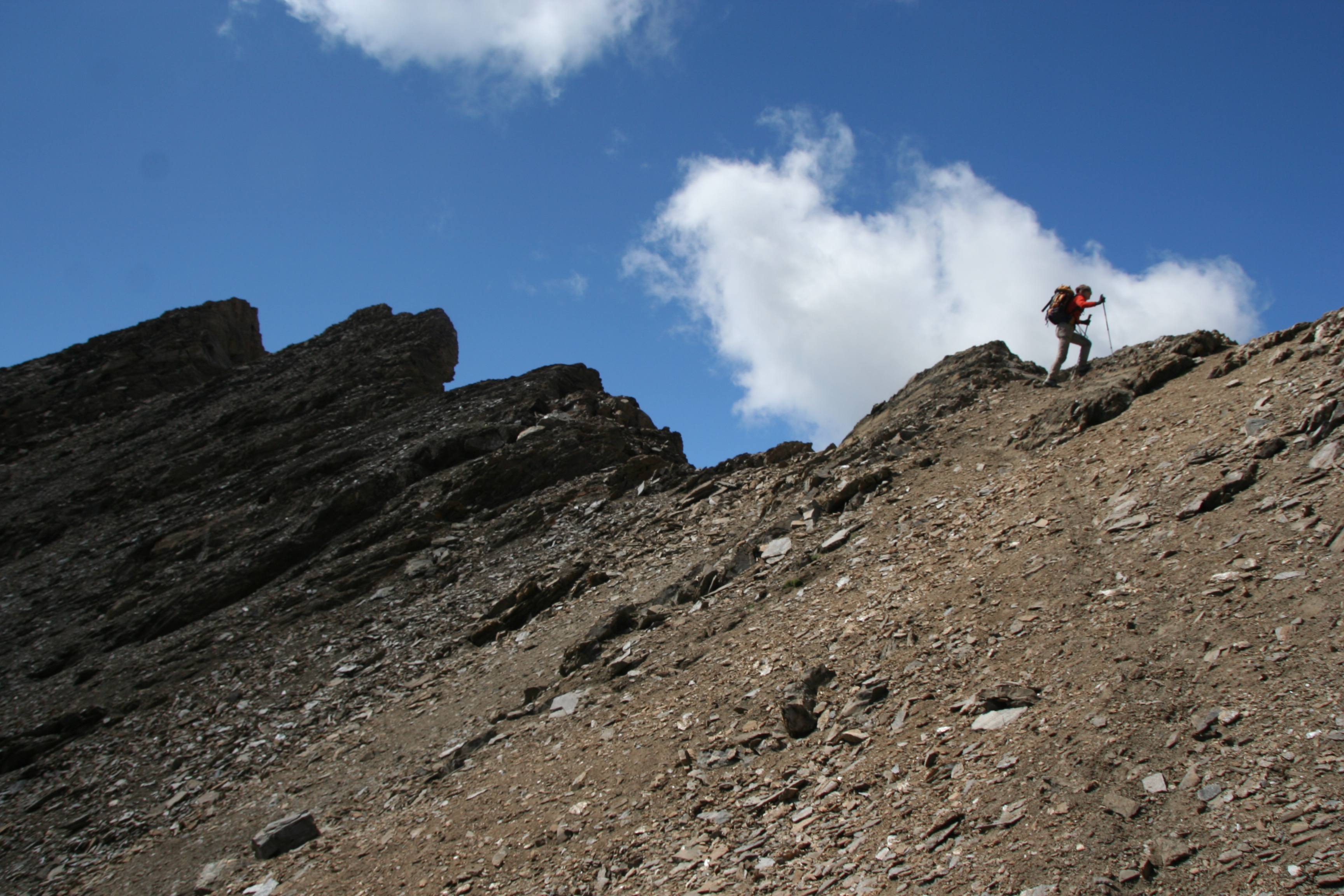
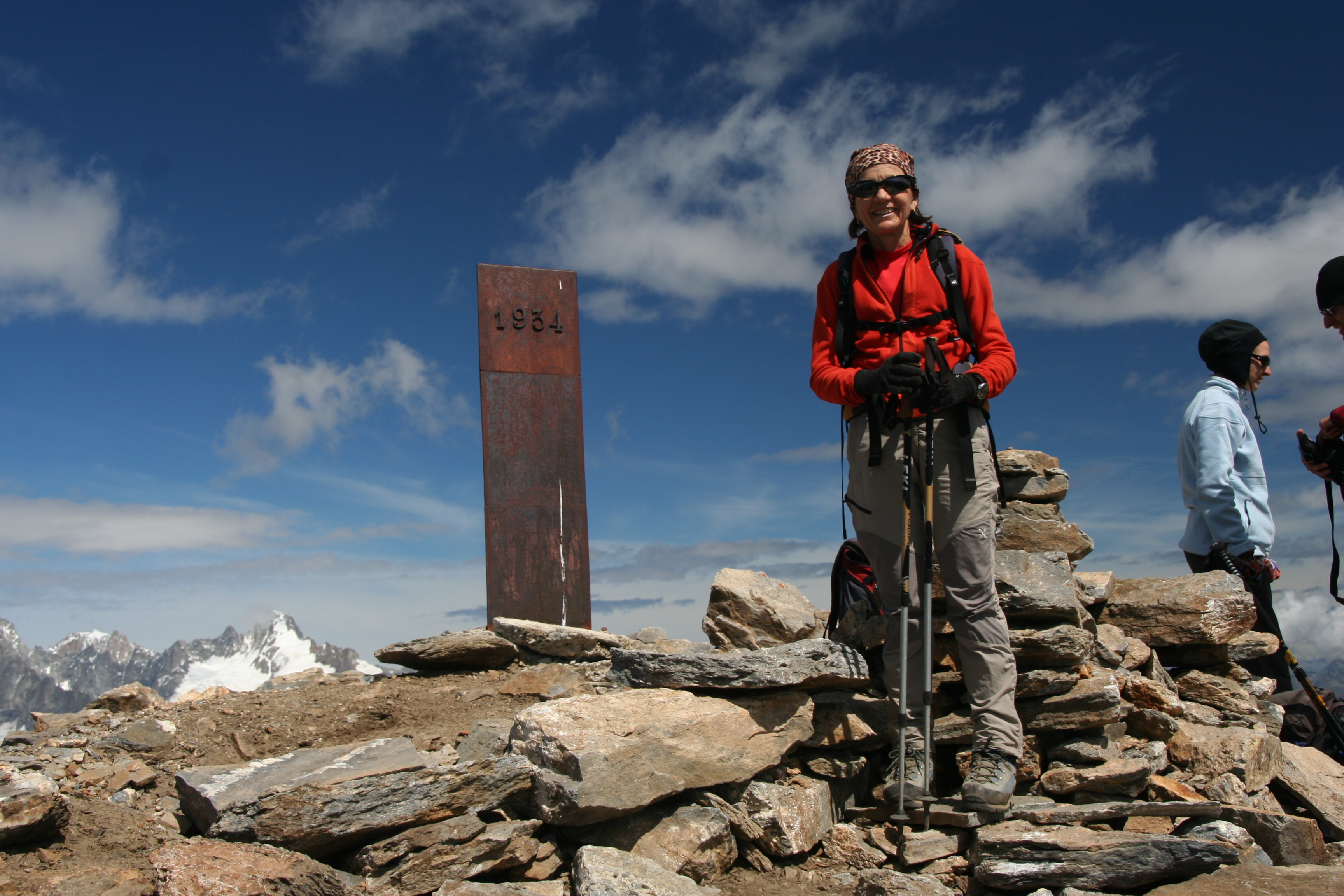
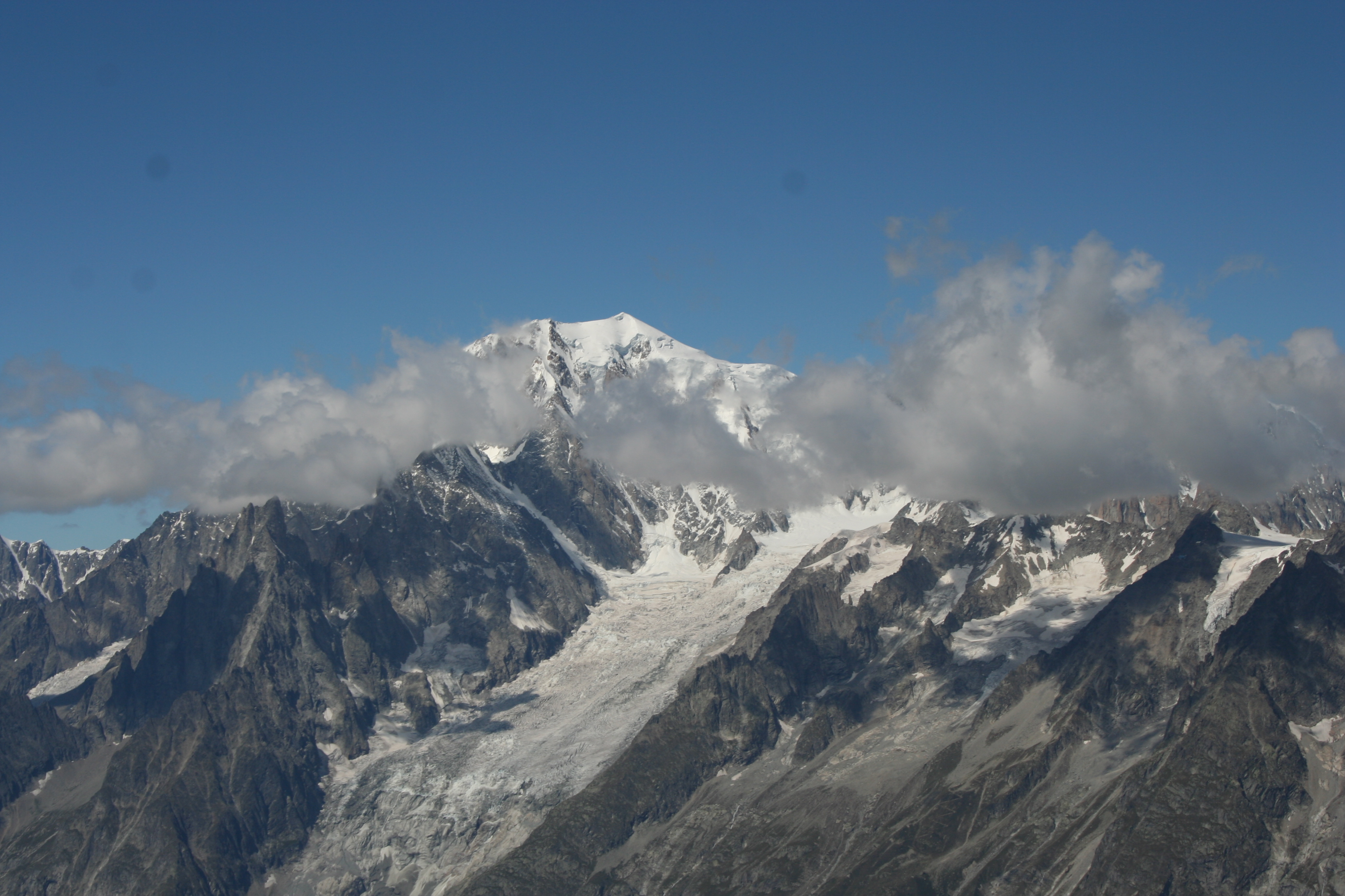
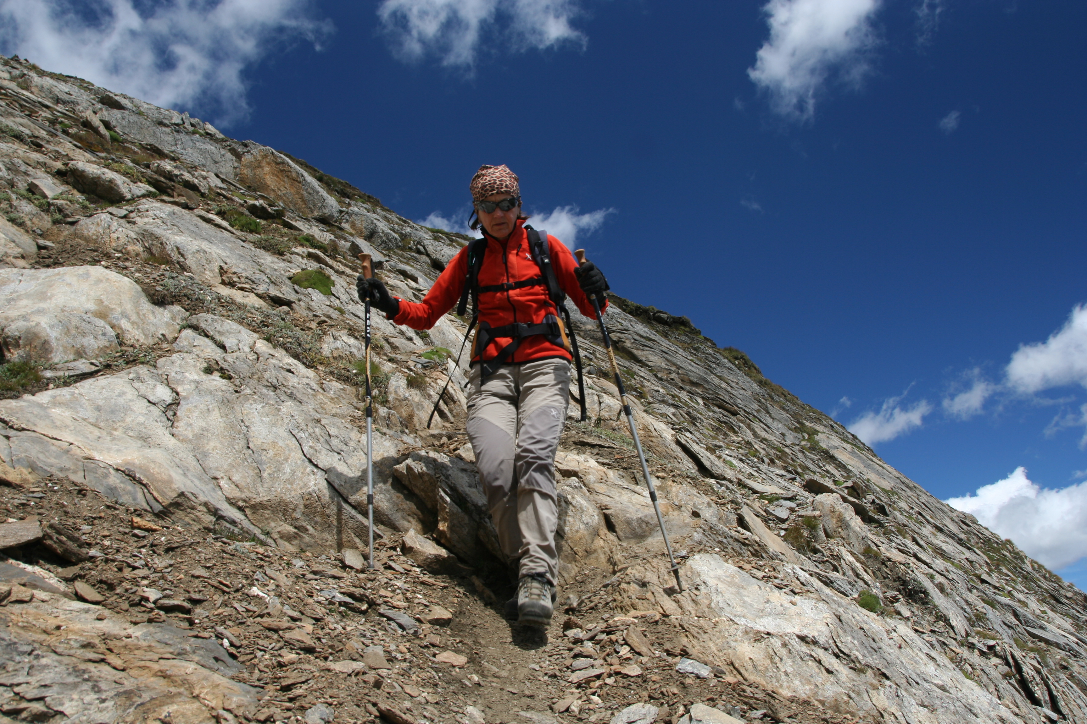
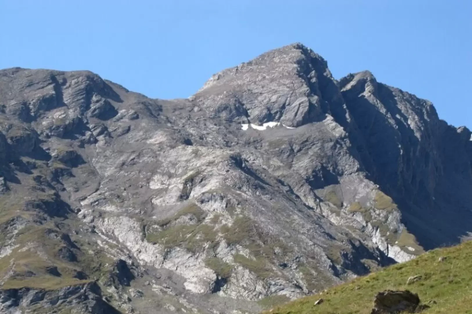
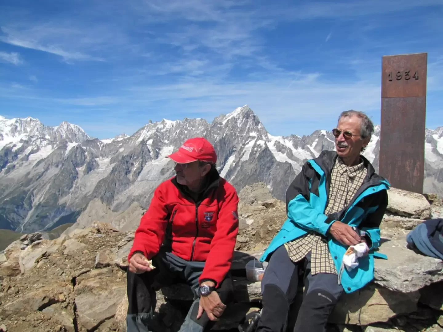
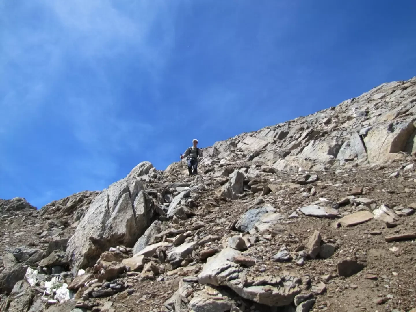
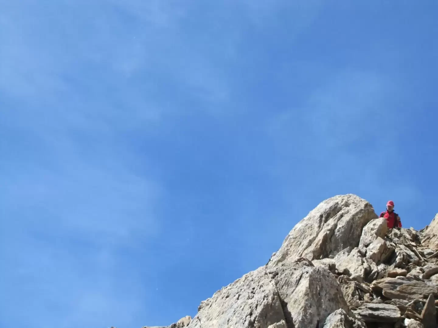
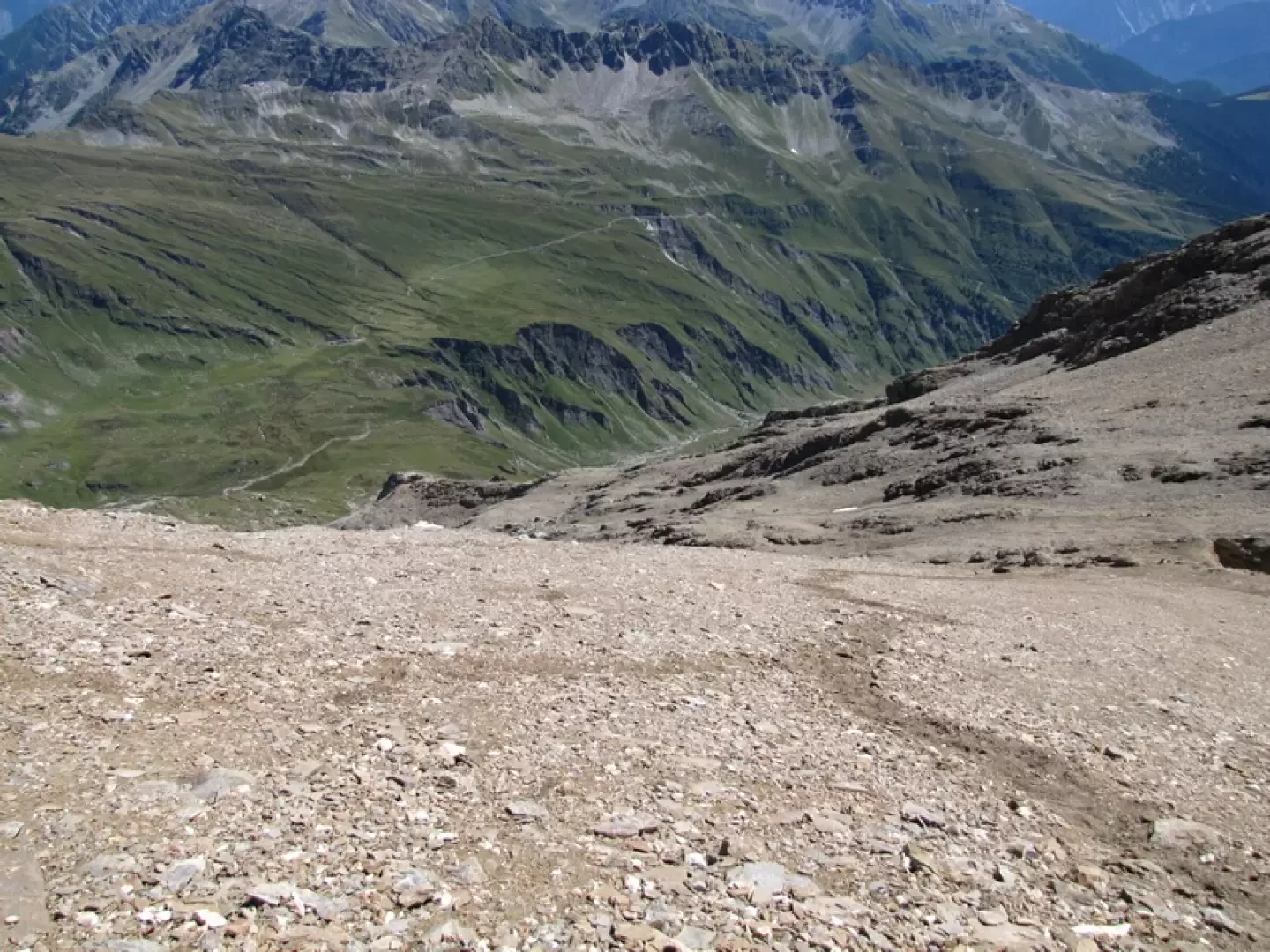
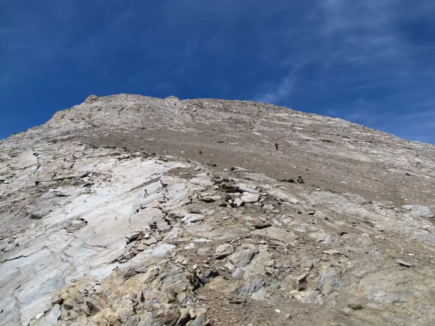
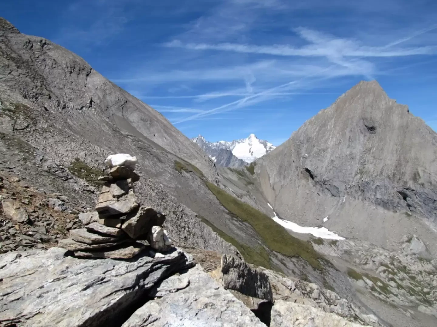
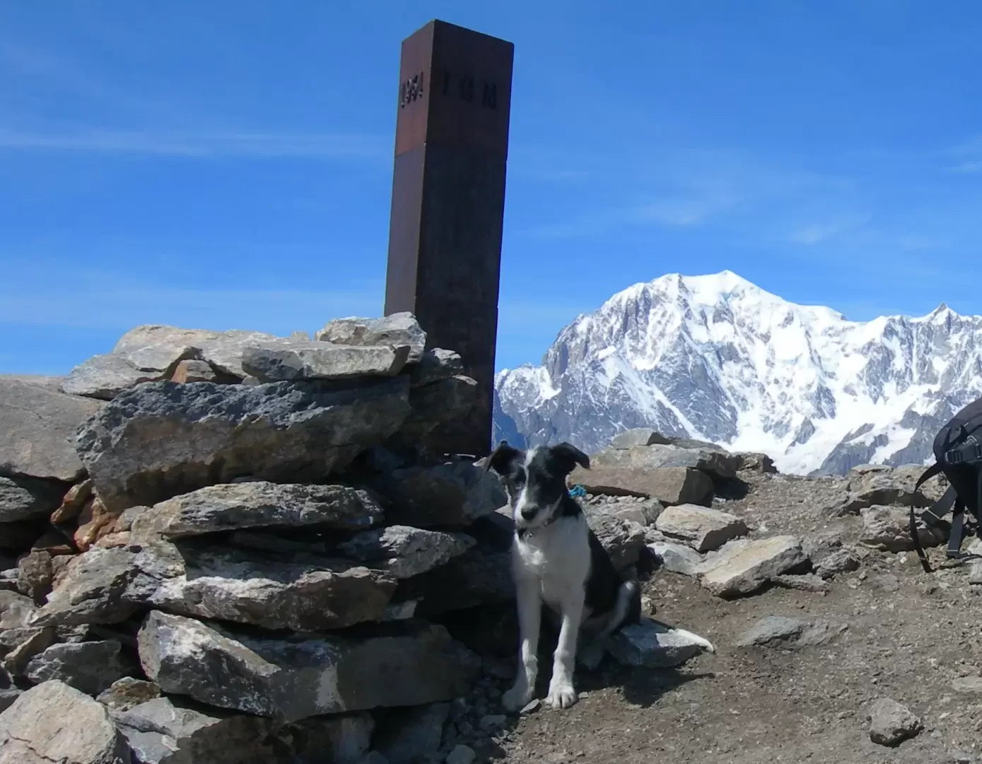
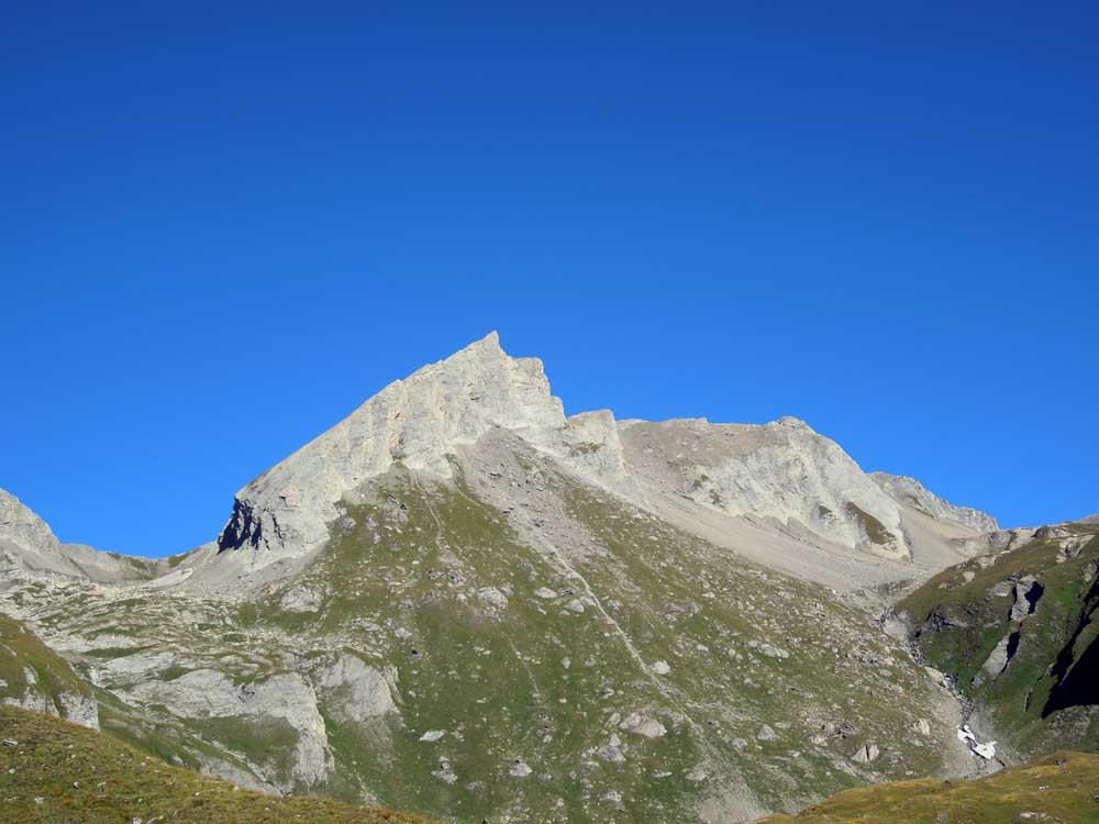
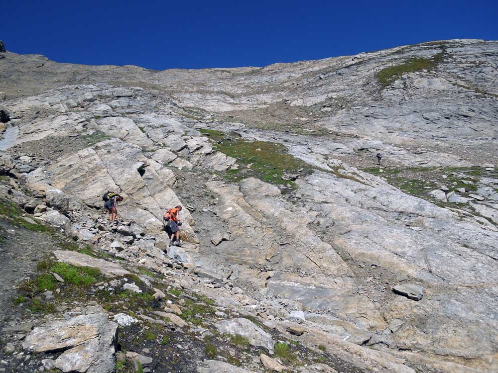
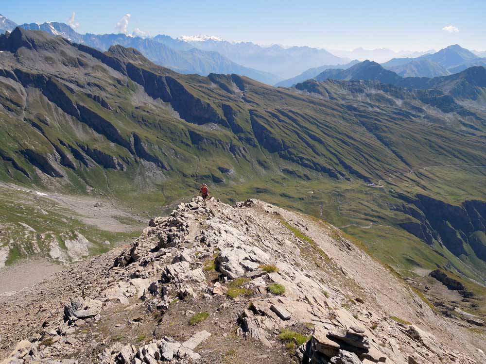
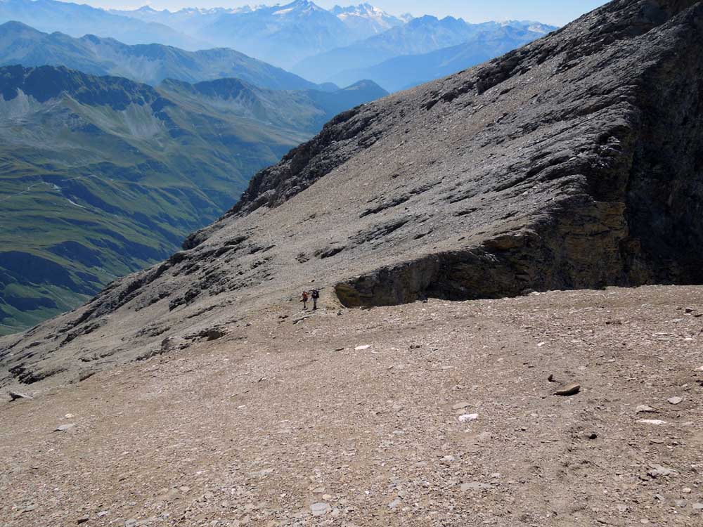
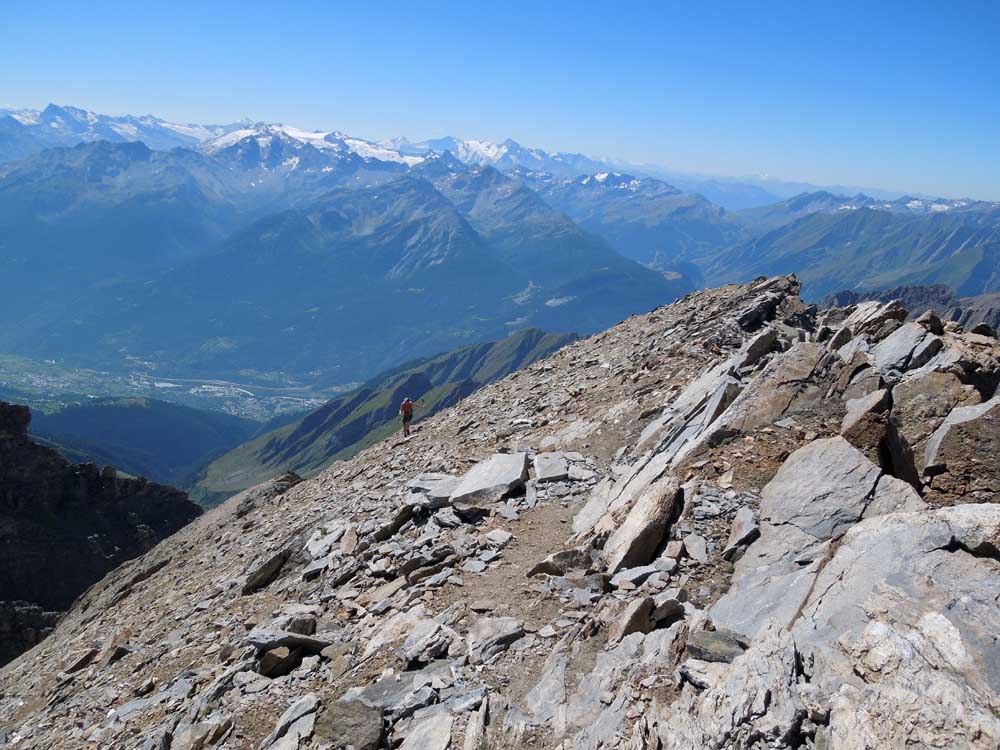
From the car park below the hotel, continue along the bridle path that leads to Alpe Ecules and leave it when you come to a bridge that allows you to cross over to the left bank of the Torrent de Planaval, where you meet a beautiful path that shortly afterwards crosses a steep little valley with some nice hairpin bends to arrive near the Bonalè hut. Leaving the hut to the right, go over some grassy bumps to the left to walk up the eastern slope of the Grande Rochere to meet the track with the first cairns on the left that crosses a grassy section and then goes over a scree section to the left of a small gully. Further up you cross the gully, where white arrows drawn on the rock indicate the passage, this section is called the "key passage" by some, a harmless passage of a few metres over rocks and debris. Instead of crossing, you could continue straight on, there are cairns, but then they disappear and you arrive laboriously below the petite Rochere, an hour from the summit of La Grande, not advisable. After the 'key passage', the track with cairns resumes, reaching a beautiful ridge from which the Aiguille de Bonalè appears imposingly, and the pass of the same name behind which the Dolent appears. Behind, the mountains from the Matterhorn, to Rosa, to Gran Paradiso, all the mountains of the Aosta Valley except Mont Blanc. We climb up the little ridge, then on well-marked detritus, we reach the pass between the petite and grande Rochere. All that remains is to ascend the harmless final crest, where the abundance of uphill and downhill tracks shows that you can climb anywhere. You thus reach the summit where the Mont Blanc chain finally appears in all its splendour.Galleria fotografica

We have been there

Edited by:
Giancarlo Beretta
Grande Rochère
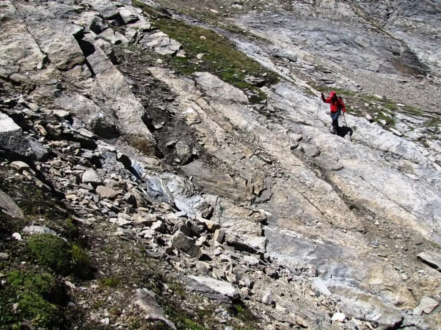
Buone le condizioni del sentiero sino a Bonalex e traccia ben visibile dal pianoro sino al colle che parte da un masso con bollo giallo sbiadito ed ometto di pietre alla sinistra del pianoro (vedi foto); dal colle in vetta poi ogni tanto un passo avanti e due indietro causa terreno friabile sulle numerose tracce. Giornata spaziale per una gita, faticosa, da troppo tempo rinviata. Consigliata ad escursionisti allenati.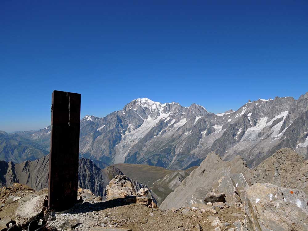


Edited by:
Ermanno Panara
Grande Rochère
escursione molto impegnativa. problematico individuare il percorso dall'alpe Bonalè, ma utilizzando le tracce GPS lo si trova e poi non lo si perde più. Dai prati ripidi il percorso è ottimamente indicato con ometti e bolli gialli, dalle rocce ci sono evidenti bolli e frecce bianche, più i soliti ottimi ometti. Bisogna fare molta attenzione nella discesa dalla vetta, perchè ci sono molte tracce ma molte sbagliate. Occorre concentrarsi sulla traccia di salita perchè sbagliare può essere pericoloso (terreno estremamente ripido e friabile). Il percorso dall'Alpe Bonalè è severo, il pendio sempre molto ripido e non dà respiro sino in vetta, da dove si gode un panorama mozzafiato.