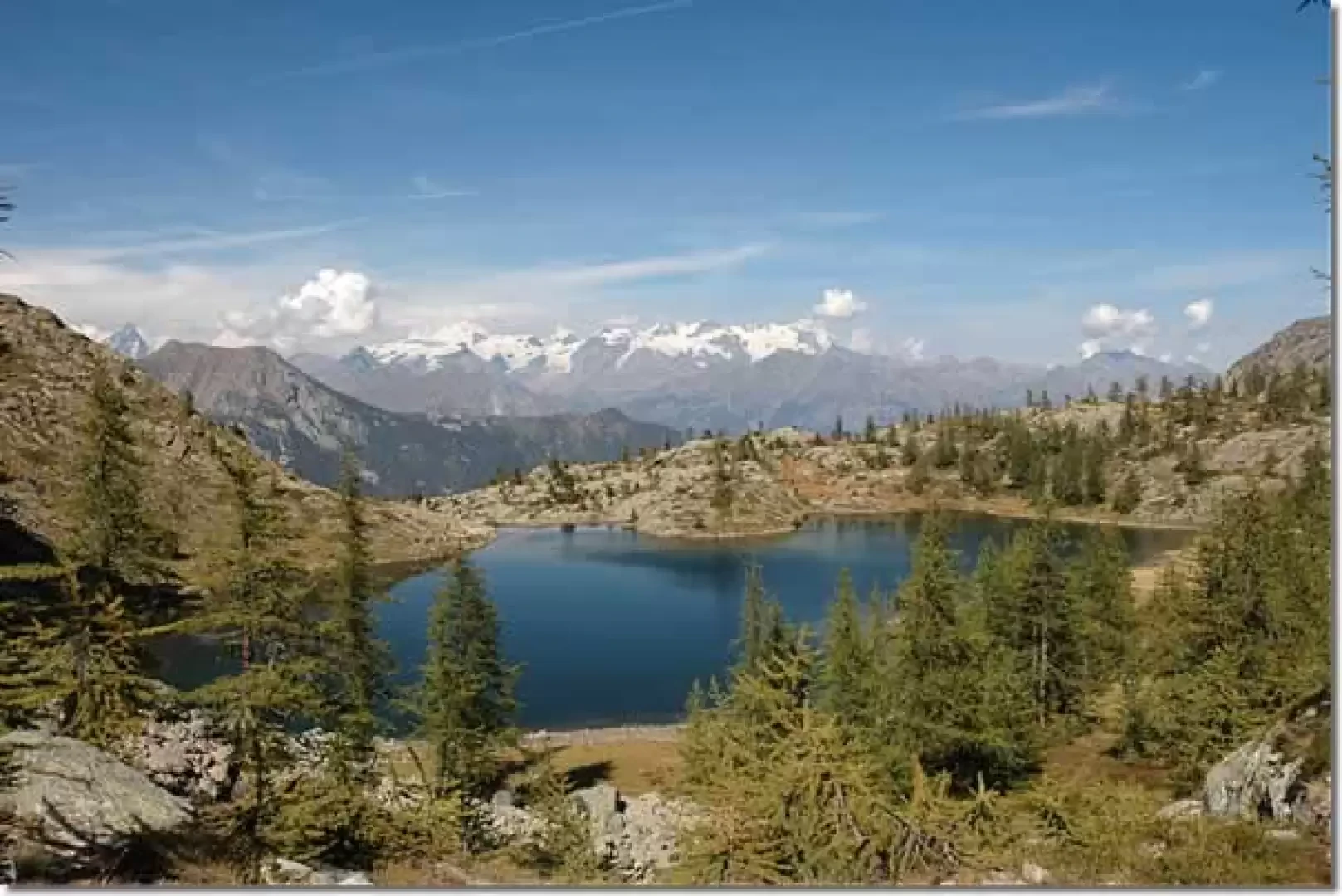
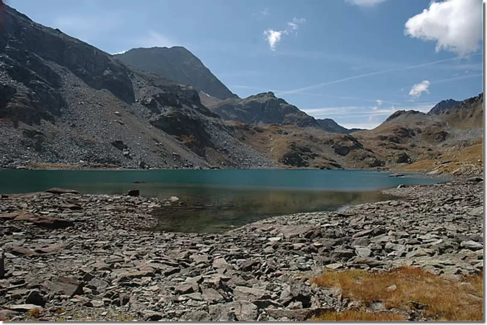
Great Lake, from the Lac Muffé car park

Edited by:
Massimo Martini
Updated at: 23/10/2025
Access
Leaving the motorway at the Pont-Saint-Martin tollgate, after 100m turn left to follow the state road in the direction of Aosta. After 500 metres, take the second exit at the roundabout and continue on the state road for 3 kilometres to the next roundabout. Take the second exit and follow the regional road in the Champorcher Valley. Continue on the regional road for 14.7 kilometres up the valley and through the villages of Hône and Pontboset before reaching Château, the centre of Champorcher. Turn right, following the signs for Dondena and climb up the little communal road for about 3.2 kilometres until you reach a clearing 🅿️ near L'Ansermet where you can leave your car.
[0h39'] - [25.8km]
How to get there with GMaps
How to get there with Apple Maps
Introduction
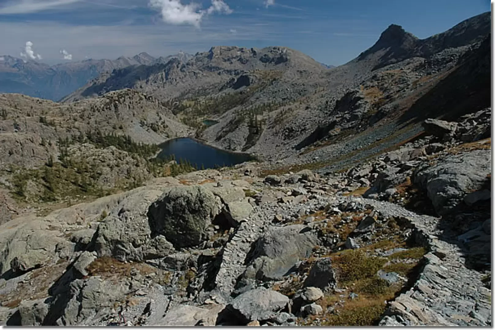
Surely one of the most beautiful hikes in Valle d'Aosta: reaching the region's second largest natural lake allows you to cross one of the most interesting areas of the Mont Avic Regional Park: not to be missed!
Description
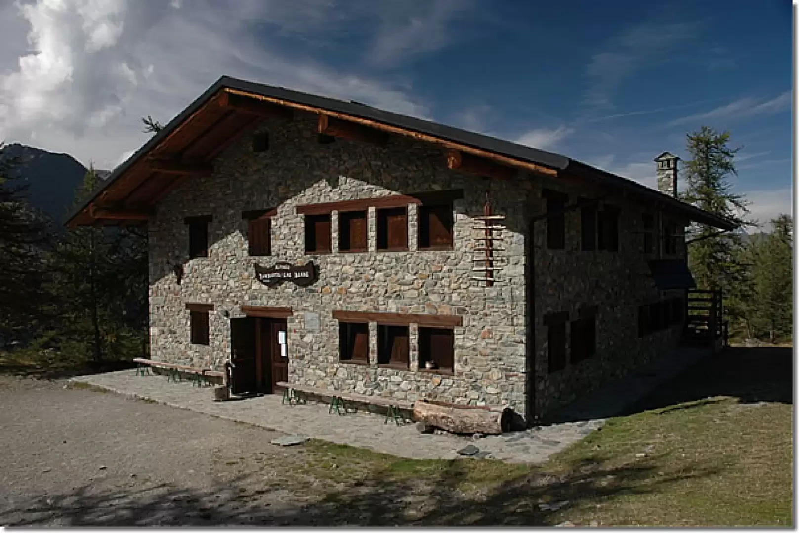
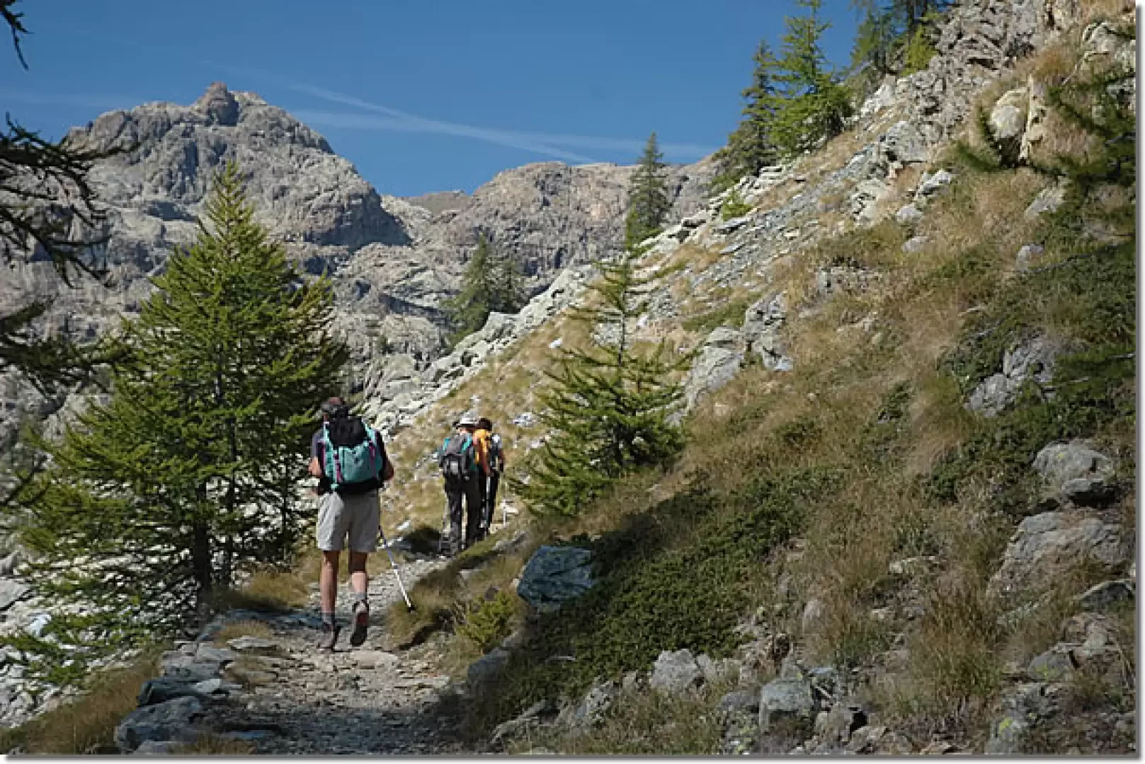
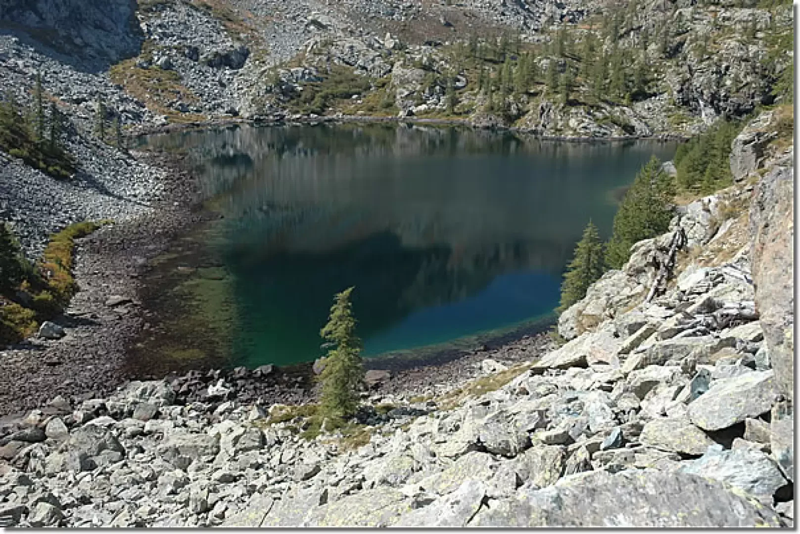
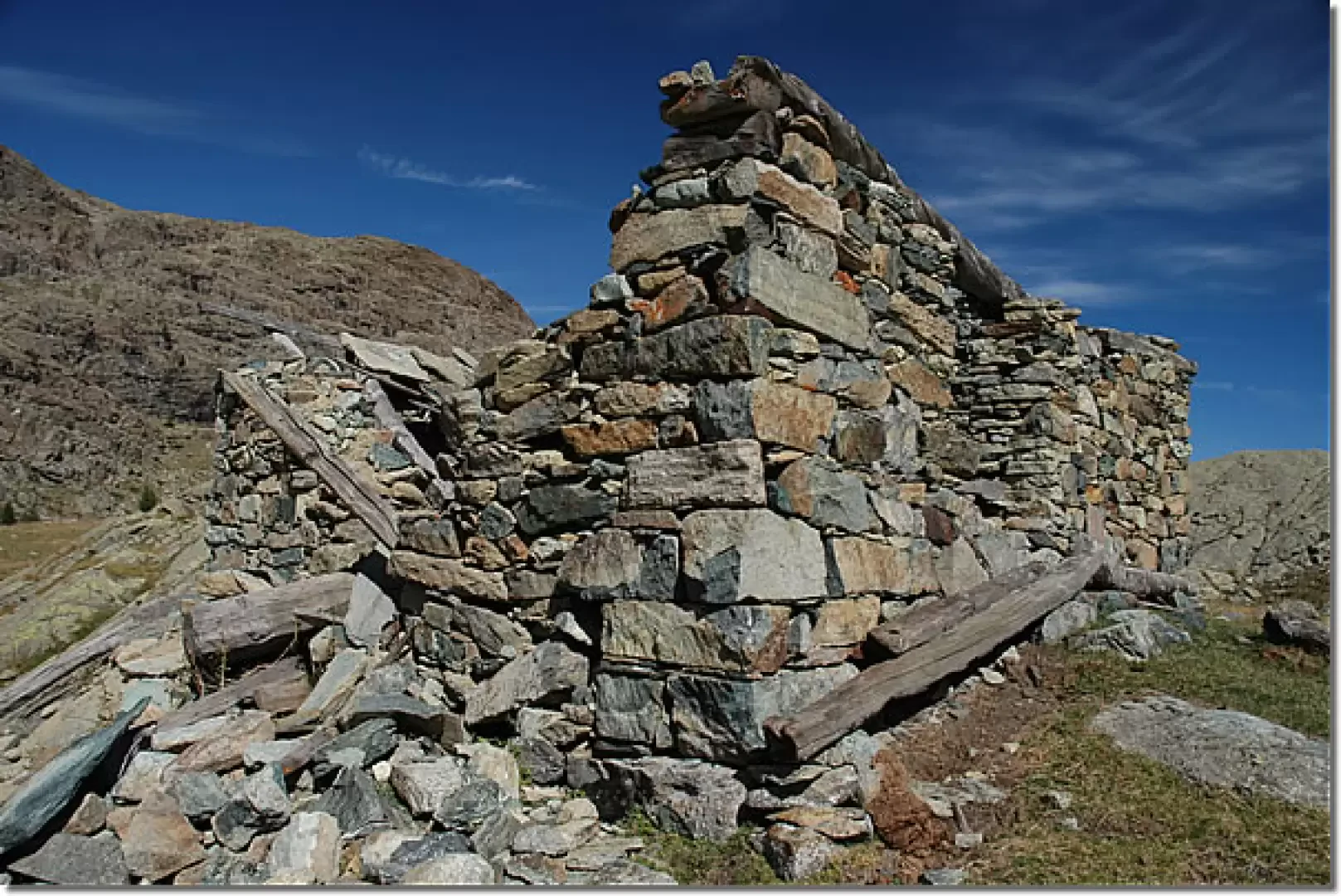
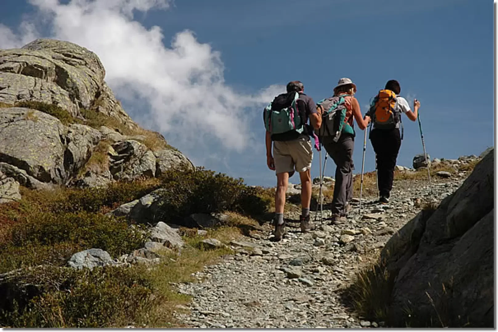
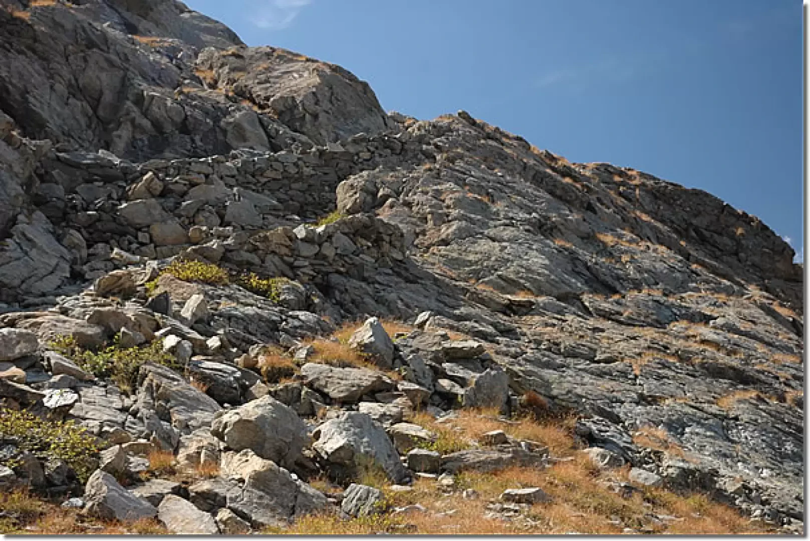
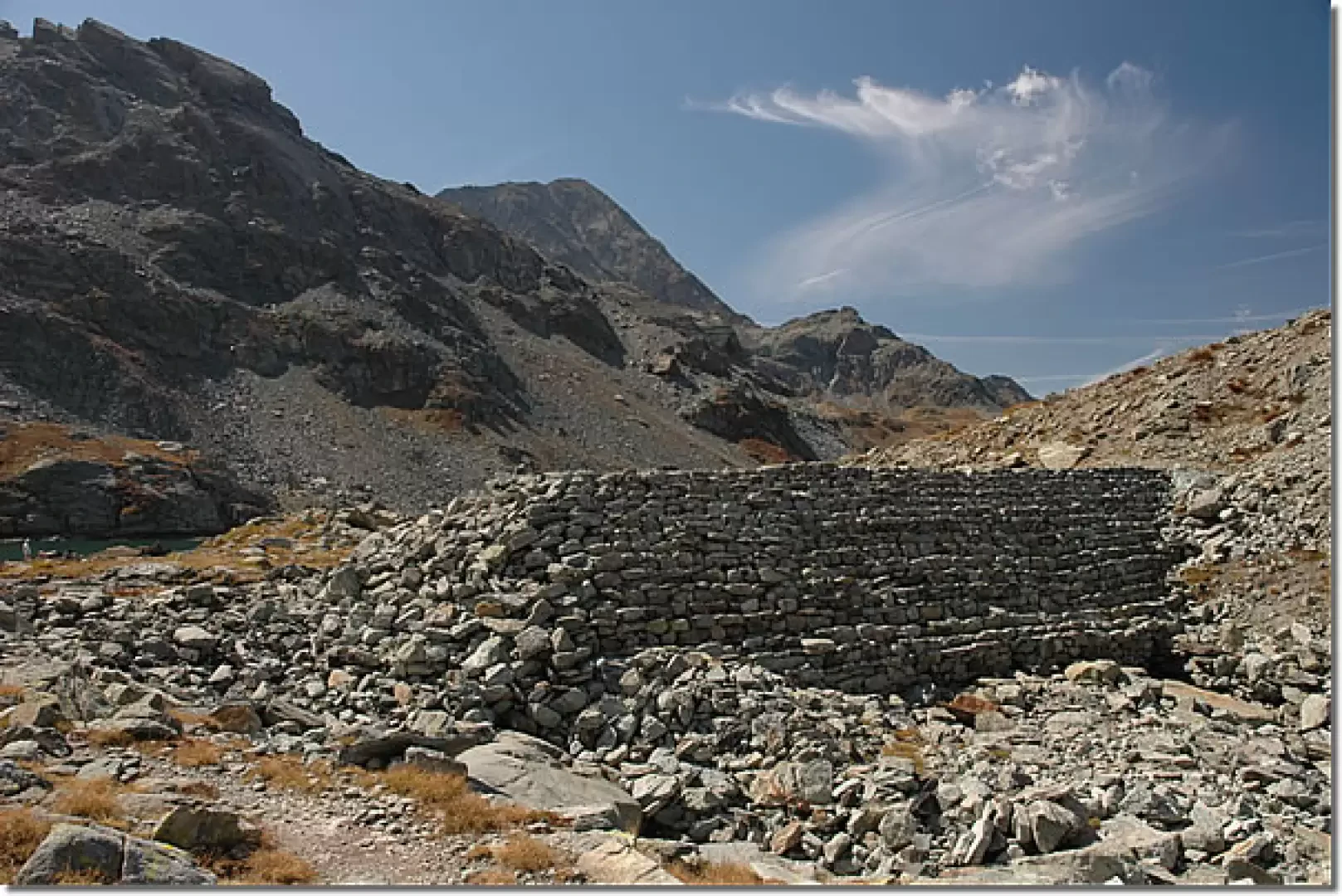
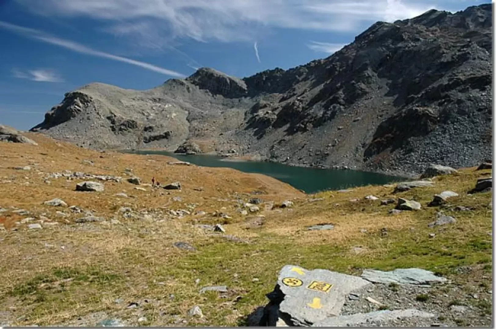
From the Barbustel hut (2200m, 1h45'), walk slightly downhill along the path (5C) until you come to a small bridge near Lake Nero, which allows you to cross the Chalamy stream. We continue, leaving Lake Bianco and the beautiful views of the Monte Rosa massif to the right and begin to climb the path that leads to the orographic left of the depression on which the lakes lie. We gain height slightly among the sparse larch (Larix decidua) and hooked pines (Pinus uncinata), crossing the slopes of Mont Ours halfway up, leaving the green-watered Lac Cornu on the left. We pass a few scree slopes, still on a comfortable path, and descend briefly near a rock face, then climb again at the edge of the stream until we come to a small bridge that allows us to cross one of its small tributaries. The mule track begins to climb more insistently and, after a few turns among the rocks, we reach a small plateau that, shortly after skirting a beautiful sloping slab, allows us to reach the ruins of Pisonet (2302m, 2h30'). Leaving Pisonet, proceed slightly downhill through the beautiful peaty meadowland until crossing a stream on a small wooden footbridge and shortly afterwards passing over the Chalamy stream again, after which you start climbing again on the beautiful mule track that snakes along the rocky slope, displaying interesting dry stonework. The climb is now tougher, but in a short time you reach the edge of the impluvium of the stream below the lake: one last little effort and the peculiar wall that separates the lake from the valley below appears, and finally you reach the Great Lake (2485m, 3h30'). The descent is along the same route as the ascent (2h45').
.Galleria fotografica