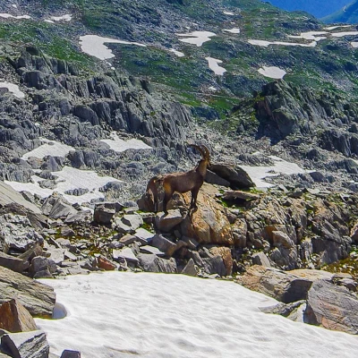
Giübin and Pizzo Prevat, from the Gotthard Pass
Access
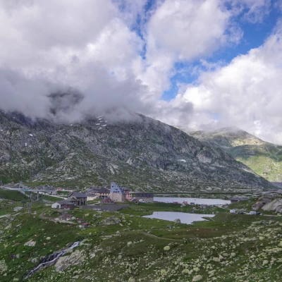
From Milan you reach Switzerland and from Chiasso, via the Gotthard motorway or the cantonal road to Bellinzona, you arrive at Airolo in the Leventina Valley. From here, the modern cantonal road (or rather the more interesting 19th-century road) climbs to the Gotthard Pass. Turning around the Benedictine hospice building, you reach a dirt esplanade at the beginning of an agricultural road closed to unauthorised traffic.
Introduction
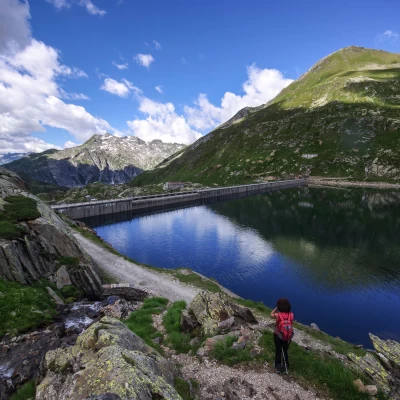
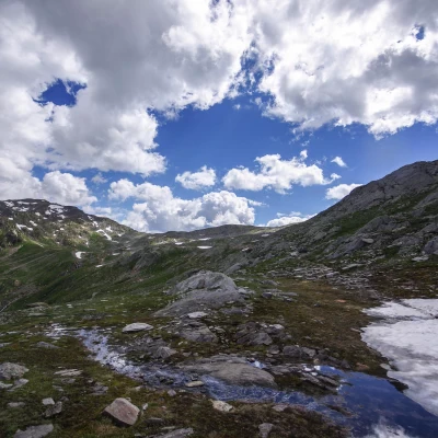
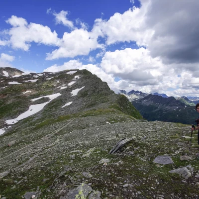
Panoramic hike in a side valley to the Gotthard Pass, which runs along a long stretch of ridge on the border between the cantons of Ticino and Uri, between "north and south of the Alps". The environment, particularly wild in its stony plateaus, is softened by numerous nival meltwater lakes that have as their backdrop the reservoir at the bottom of the valley.
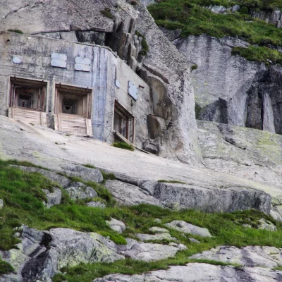
NOTE: The entire valley is an artillery firing range of the Airolo parade ground [craters and grenade fragments are often found in the high altitude areas; control casemates are scattered everywhere]. It is assumed that any ongoing operations are reported at the access routes.
Description
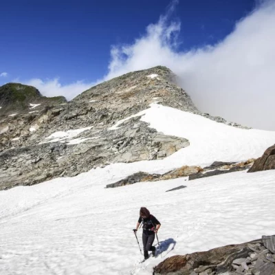
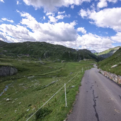
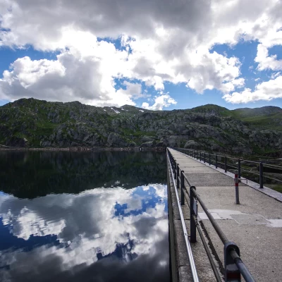
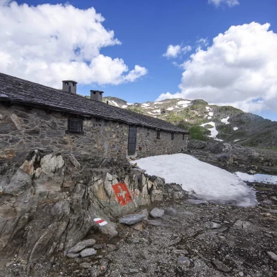
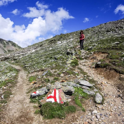
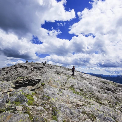
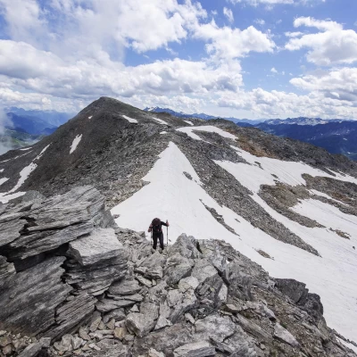
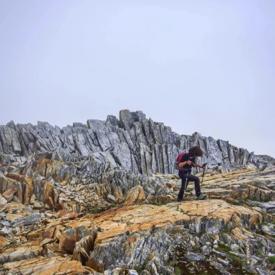
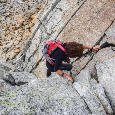
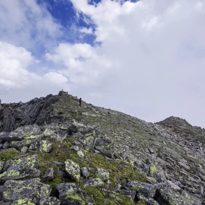
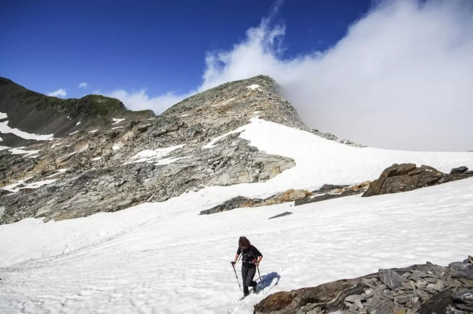
From the forecourt 2091m, follow the asphalted road of the Sella Valley as far as the dam (Lago della Sella 2257m) and cross the entire walkway to the opposite bank; after a few dozen metres, leave the dirt road to climb a short flight of steps to the right. From here, we begin a long ascent among pastures unusually abundant in flowers and rocky ribs (note the presence of outcrops of compact quartz masses, which are frequent throughout the valley) that form successive panoramic terraces. Finally, we reach the Cascinone 2522m (military construction), at a crossroads of paths; ignoring the signposts, it is best to reach the ridge above as soon as possible by following an old, obvious mechanical-vehicle track. At Q2596m, you overlook the grassy precipices overlooking the Val Canaria below: you are at the base - to the west - of the elevation of Posmeda 2616m; if you continue in the opposite direction, on traces of the path, you pass the vague depression of Passo Posmeda 2569m and reach the beautiful path coming from Cascinone. Following it in a NE direction (towards Passo della Sella), you arrive below the vertical Giübin 2776m (a rounded summit, well known and frequented for its panorama, facing three different valleys), which can be reached with a short diversions over stony ground. Continuing in a northerly direction, a short descent leads to the Passo della Sella/Sellapass 2703m, on the border of the Andermatt Valley (Canton of Uri). From here, with only very few traces of passage, we continue on the ridge in a N direction: we proceed alternating between passages on stony ground and easy climbing passages on outcrops, large stacked boulders and smooth slabs, all in a curious geological environment of stones of various colours alternating in overlapping layers. Without further difficulty, you reach - marked only by a small cairn - the summit of Pizzo Prevat 2876m. For the return trip, it is possible to take a partially different route. From the summit, following the ascent route and then - from the Passo della Sella - the signposted path, you return to the Cascinone: here, ignoring the ascent path, you follow the signs that descend directly to the valley. After a few hairpin bends and a traverse, you reach the wide track of the military cart-track to the Cascinone: following the comfortable hairpin bends and traverses, you descend to the Q2306m bridge near the Cascina di Val Torta, on the shores of Lago della Sella. Following the agricultural track along the northern side of the lake, you reach the dam wall and from here, along the outward route, to the S.Gottardo Pass.
Mountaineering Grade: II-
Objective Danger:unstable stony terrain, disorientation in poor visibility
