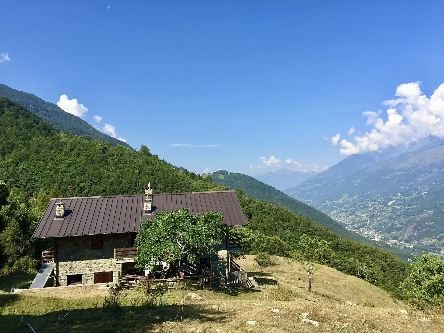
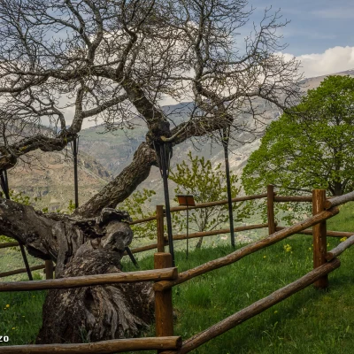
Gimiod, from the car park on SR10

Access
From the motorway junction exit at Châtillon, turn left along Via E. Chanoux for about one hundred metres, then turn left again onto Regional Road for Pontey. Follow the road downhill, pass two roundabouts and the railway station, then go under the railway, ignoring the crossroads for Ussel. Cross the Dora Baltea and turn right in the direction of Pontey: a few metres further on, on the right, is a clearing where you can park your car.
[0h04'] - [1.9km]
How to get there with GMaps
How to get there with Apple Maps
The directions provided have been carefully checked as of the date the route was taken. However, it is highly recommended to check for any changes that may have occurred since then, especially regarding the route to the starting point. Before embarking on your journey, it is advisable to consult up-to-date navigation tools for accurate and up-to-date directions. We recommend the use of satellite navigation apps, such as Google Maps or Apple Maps, to ensure the most accurate and safe route.
Description
0h00' 0.00km Cross the regional road to reach the beginning of the path: after a few metres, at a post, you will come to a fork in the path.
0h01' 0.01km
0h20' Immediately to the right of the small bridge, at an altitude of (597m), the path starts and immediately enters the dense forest, passing above the Taxard houses. The path begins to increase in gradient, passing an initial strip of woodland, predominantly oak (Quercus pubescens), which then opens up with wide panoramic views of Ussel below, Saint-Vincent and the imposing mass of Mont Zerbion. After a few twists and turns, the trail proceeds almost level until reaching a small concrete bridge that allows you to cross the Torrent Moriolaz, after which you resume climbing the wooded slope with moderate intensity, a series of hairpin bends quickly leading to the first crossroads with the communal road to Bellecombe (855m).
0h50' Follow the road to the right for a few hundred metres, taking a hairpin bend to the left until you come to a shy yellow marker on the right that invites you to resume the path. The forest changes appearance and the chestnut tree (Castanea sativa) becomes predominant. The path climbs without too many twists and turns and once again reaches the communal road (897m), which is only taken for a few metres, as immediately to the right a new marker indicates that the path should be taken again. The path climbs up the forest again and the foliage often covers the path almost entirely. With a few twists and turns, you reach the road again (948m) and, after a last stretch of path, you finally reach the road just near Bellecombe. Turn left and at the sight of the first houses, turn right across a lovely meadow with a fountain 💧 to reach the clearing on which we find the pretty chapel dedicated to Saint Anne (1002m) 1h30' .
The descent follows the same route as on the outward journey, to reach the starting point, allow for a 0h50' walk with descent.
Mappe
We have been there
Gimiod
Report della gita
Informazioni generali
Condizioni via o sentiero:
Pericolo Oggettivo:
Tratti esposti:
Rischio valanghe:
Affollamento:
Condizioni meteo
Cielo:
Temperatura:
Condizioni neve:
Condizioni ghiacciaio:
Avvistamenti
Fauna:
Flora:
