From the Stelvio Pass to Trafoi
Access
You leave your car in Trafoi, 1532 m (park on the right at the beginning of the village), and take the bus to the Stelvio Pass in 40'.
.Introduction
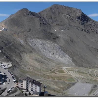
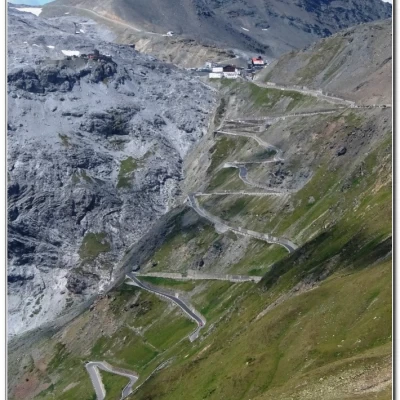
The Stelvio Pass (2,758 m) is the highest car pass in Italy and is reached by a spectacular road on the South Tyrolean side, where there are no less than 48 hairpin bends (another 40, somewhat less steep, on the Lombardy side). For avalanche safety, the pass is closed seasonally between October and May. The route is not very difficult, but spectacular!
.Description
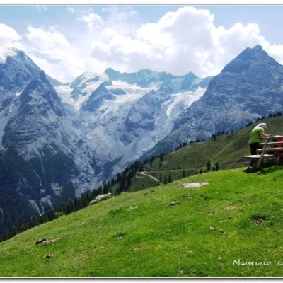
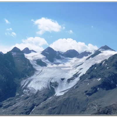
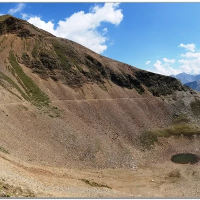
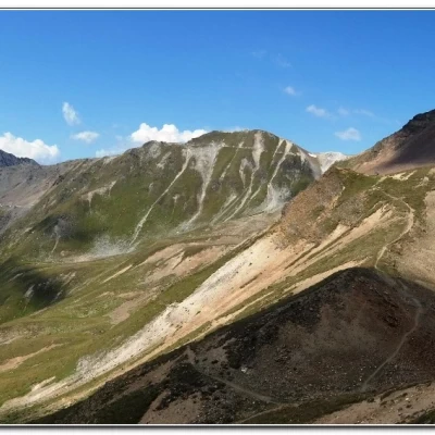
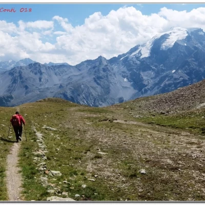
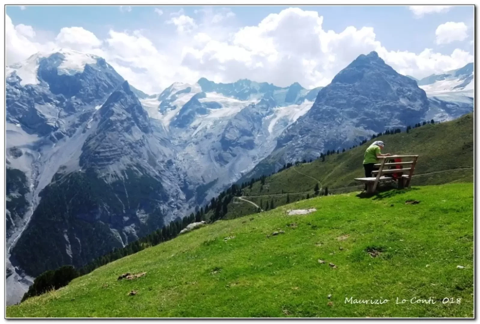
On foot, climb up to Rif. Garibaldi 2850 m. The path is almost flat, in an area full of ruins dating back to the Great War. There is a slightly narrow overhanging section, but it is very short (just a few metres) and then it widens out again... In 1h, you reach what is now, unfortunately, to all intents and purposes only... the former Golden Lake at 2708 m. Lovely view of the Ortles and its mountain range. Immediately afterwards, instead of taking the path that leads to the Forcola refuge, perhaps with a slightly overhanging path in places (from there we would have to take the cable car back to the refuge, incurring the associated costs), we choose the descent to the two Tarres pastures, which is probably easier... The views are not dissimilar and even afterwards do not vary much (only after the second pasture do we plunge into the dense forest...). On the other side, the Borletti hut, which is on the west ridge of the Ortles at 2188 m, stands out. Also evident in the distance is the Rifugio Forcola. In 1h, you arrive at Malga Tarres di Sopra 2271 m. Nearby, a beautiful panoramic bench invites you to take a break. Continue to descend (with a view of Trafoi from above), paying attention to the symbols, which may be a little lacking and rarefied in this part of the route... In 45', you pass the Malga Tarres Bassa 1908 m and return (45') to Trafoi. T/E for about 3h30 Tot+ all the breaks to see the various places you come across
If you want here is the pdf photo file, with a bit more information:
http://cralgalliera.altervista.org/VacEst/VacEst018D.pdf
http://www.cralgalliera.altervista.org/anno2022.htm
http://www.cralgalliera.altervista.org/altre2022.htm
NB: In the case of an excursion, always check with FIE, Cai, any park authority or other institutions, pro loco, etc., that there have been no changes to the route, that there have been no changes that have increased the difficulties! No liability is accepted. The present text is purely indicative and not exhaustive.
Info Hiking Section Cral Galliera: http://www.cralgalliera.altervista.org/esc.htm
Trips 2022 at the link: http://www.cralgalliera.altervista.org/gite022.pdf
General Information
Signposting: SAT
Type of route:crossing
Recommended period:July, August, September
Sun exposure:East
