from the Faiallo Pass to Vara Inferiore

Edited by:
Maurizio Loconti
Updated at: 03/09/2024
Introduction
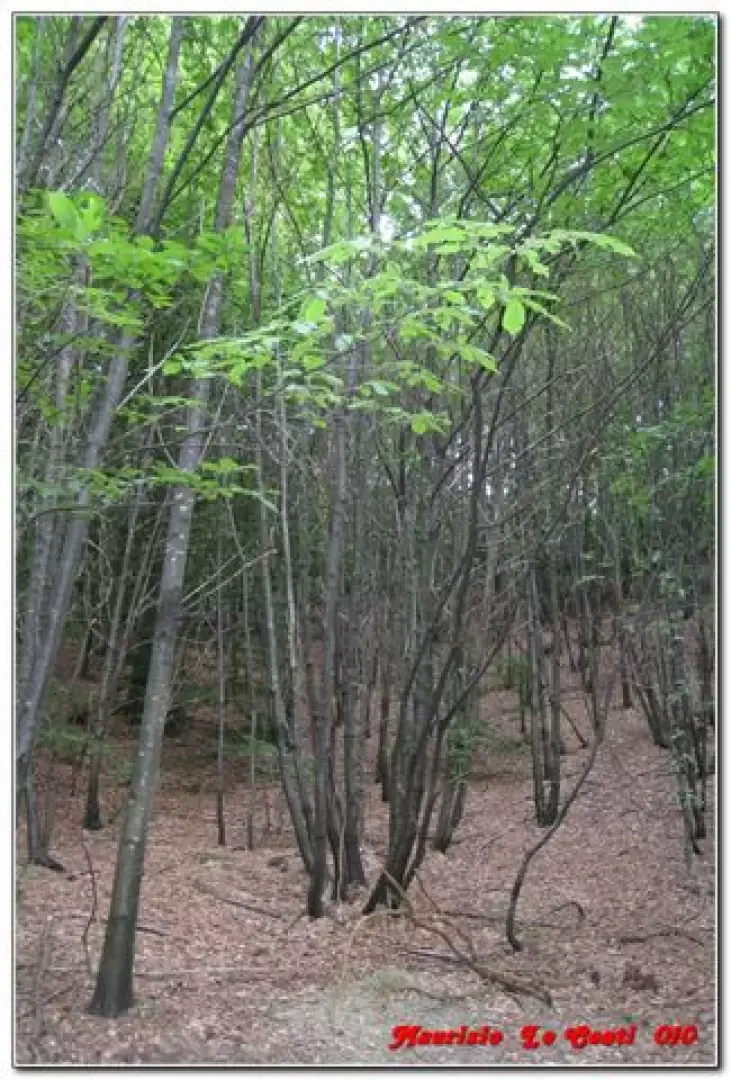
It is difficult if not almost impossible to find routes that can be done in the middle of summer near Genoa without suffocating from the heat... one of the few possibilities is the one presented here (there are always cooling breezes and the beech woods that you pass through are really cool). It is also possible to visit a rock art site... However, two vehicles are necessary, and in this case it is also particularly suitable for hikers who have started a family and... want to walk the children on an easy and... all downhill route... As it is almost entirely off the marked paths, even though it is essentially a T, it is best classified as an E.
.Description
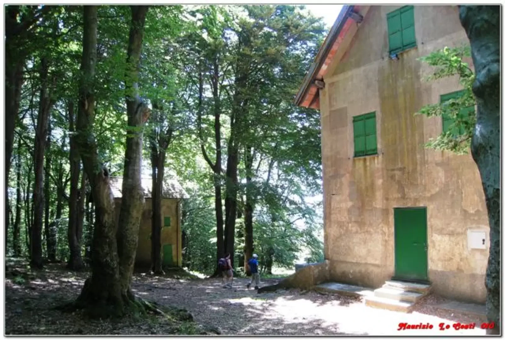
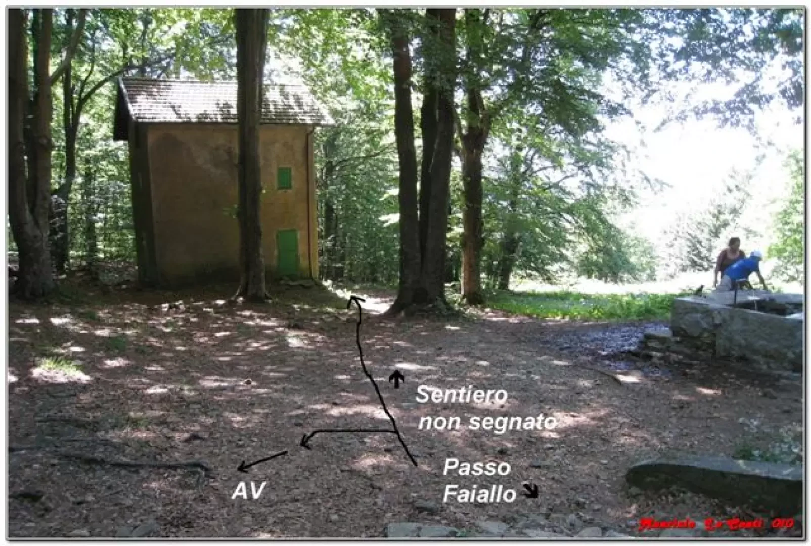
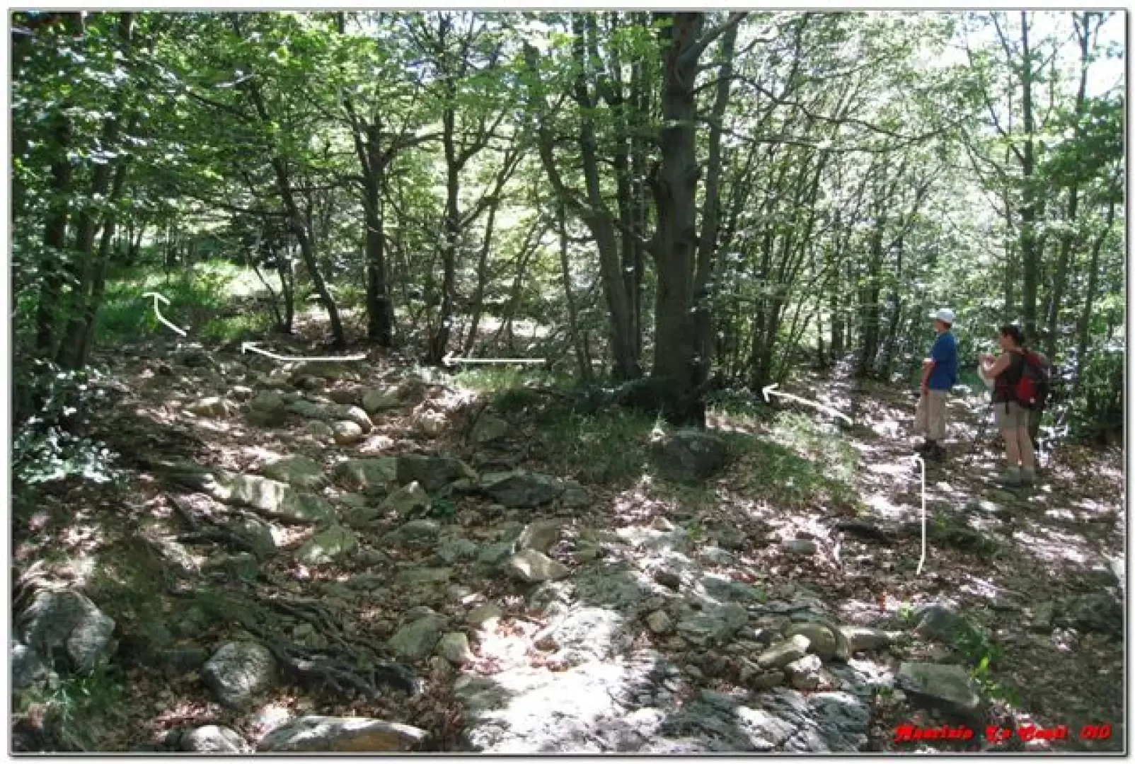
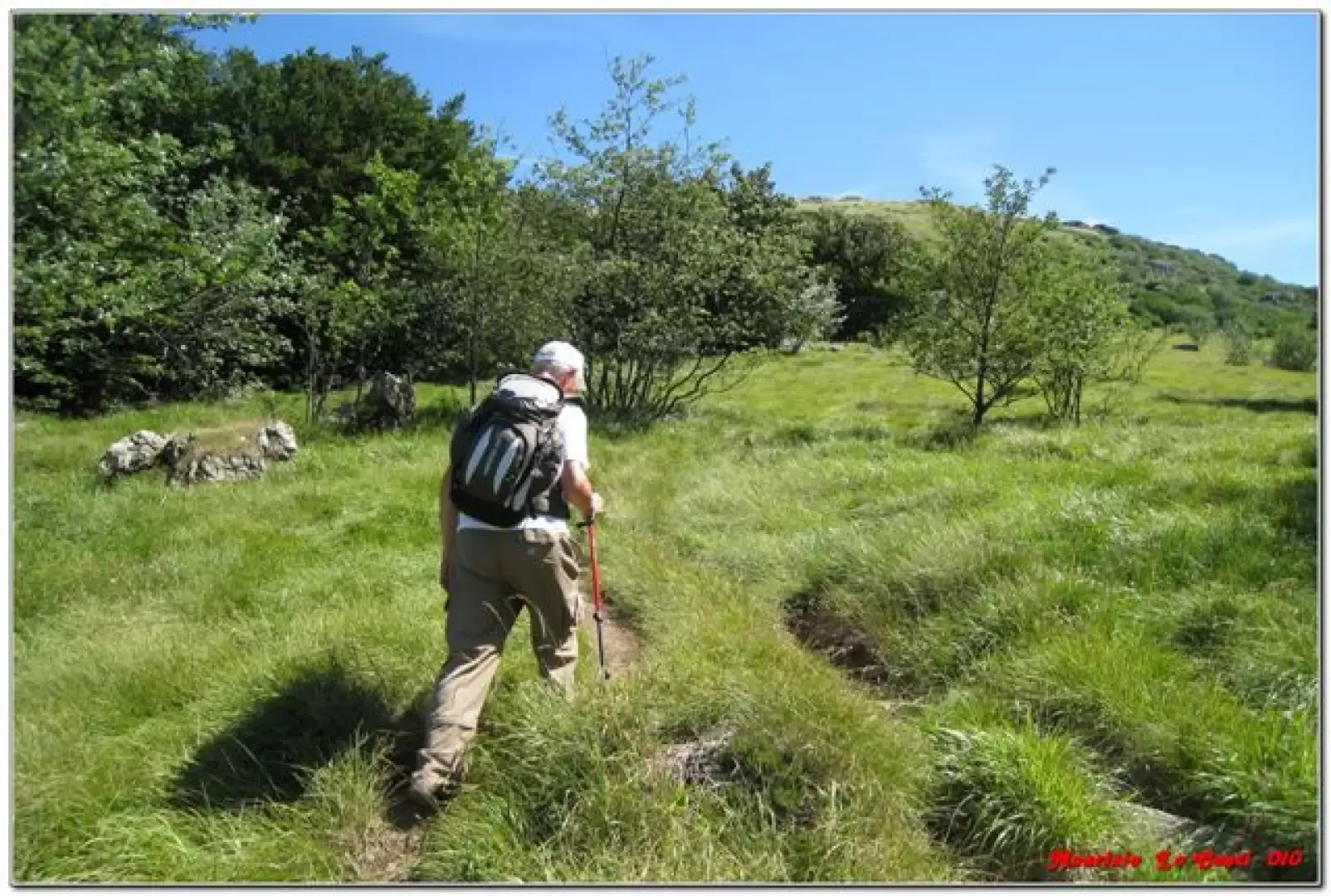
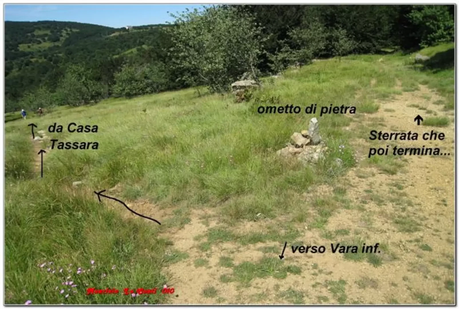
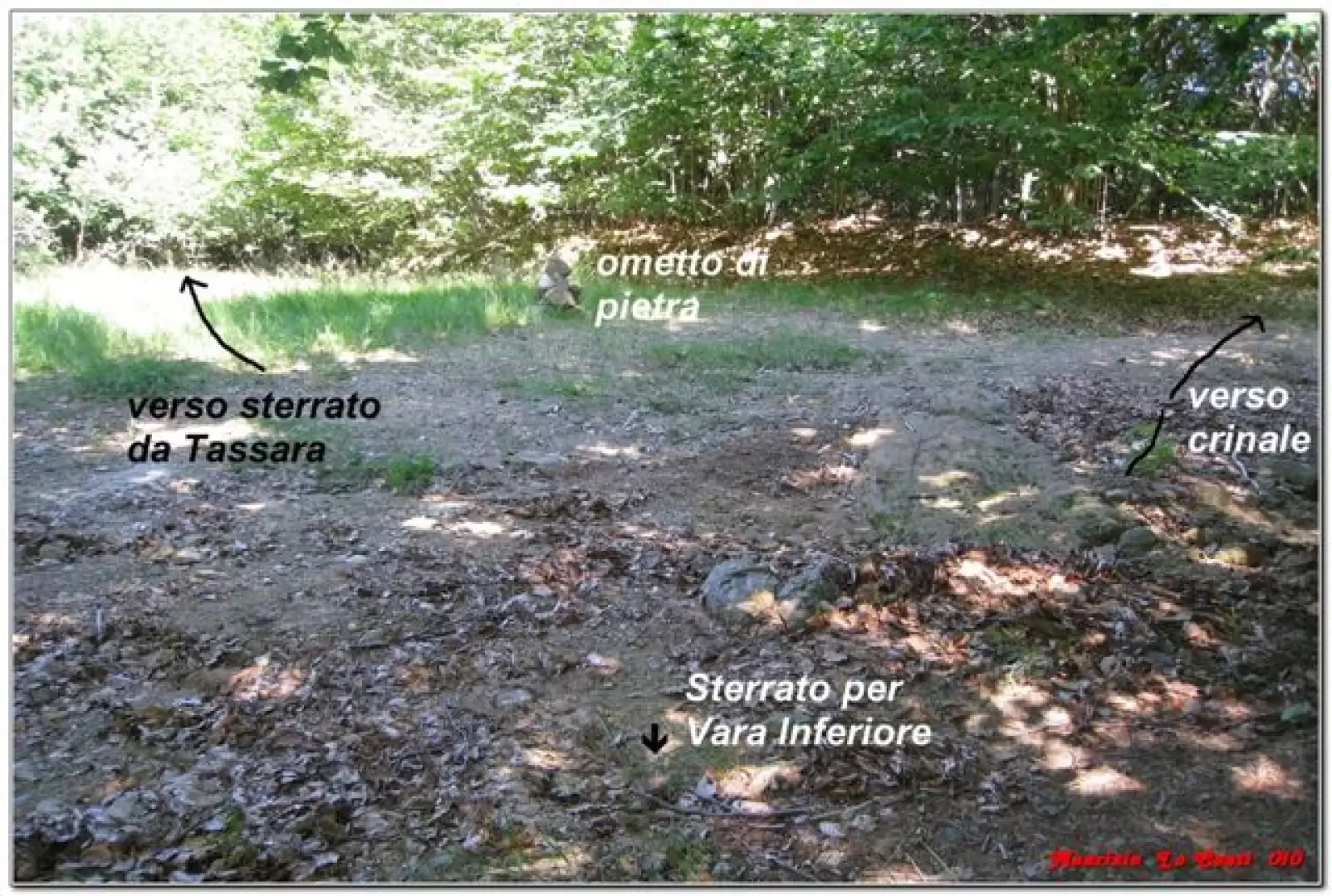
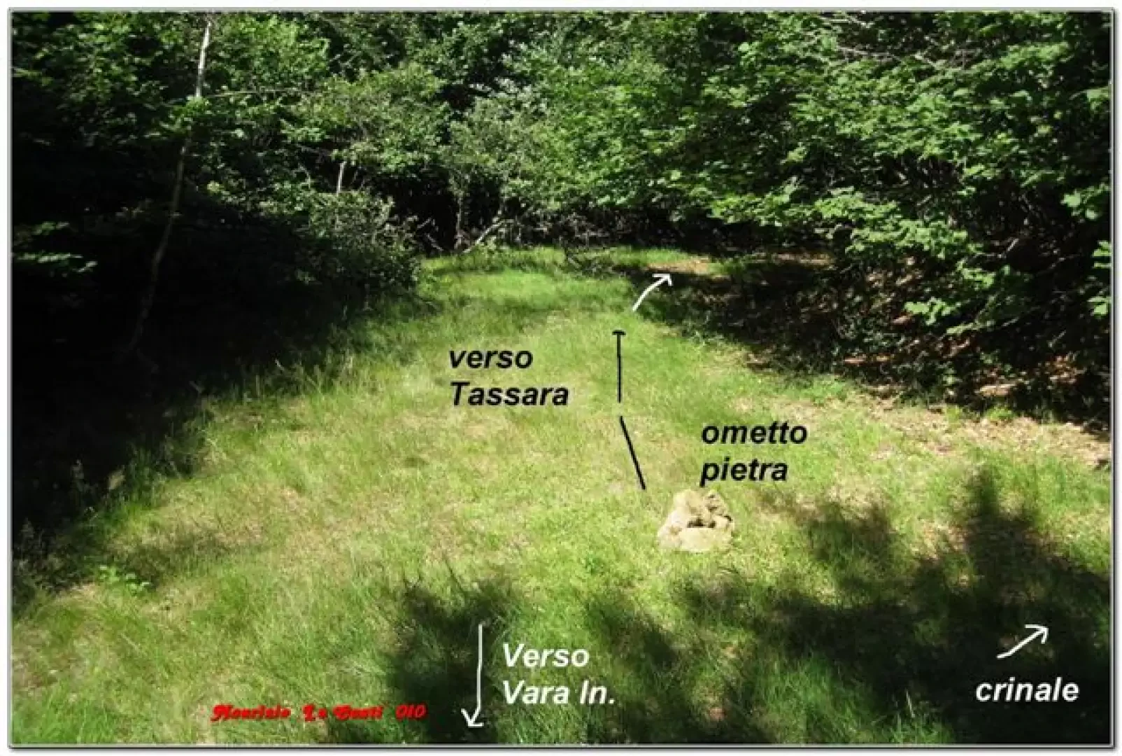
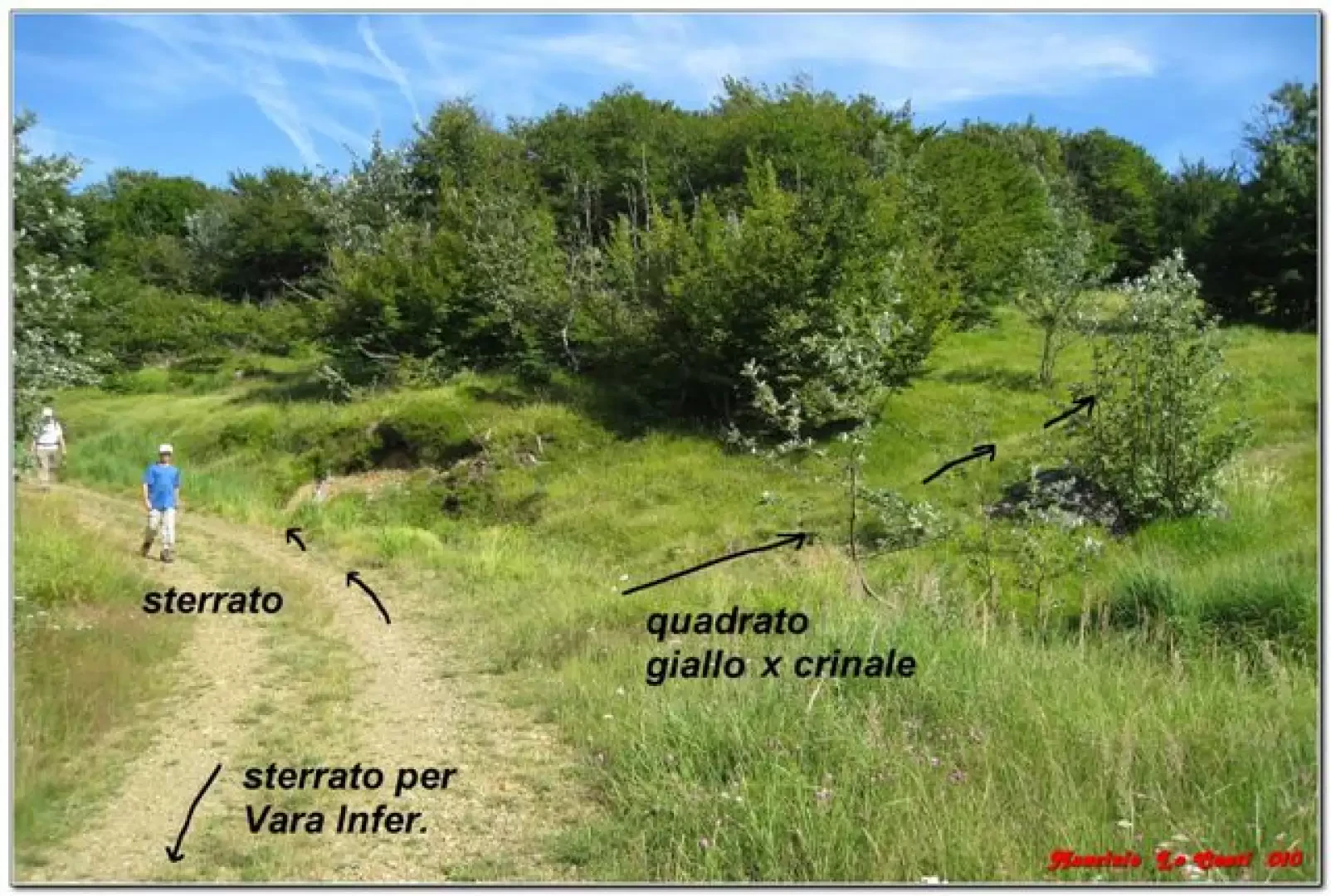
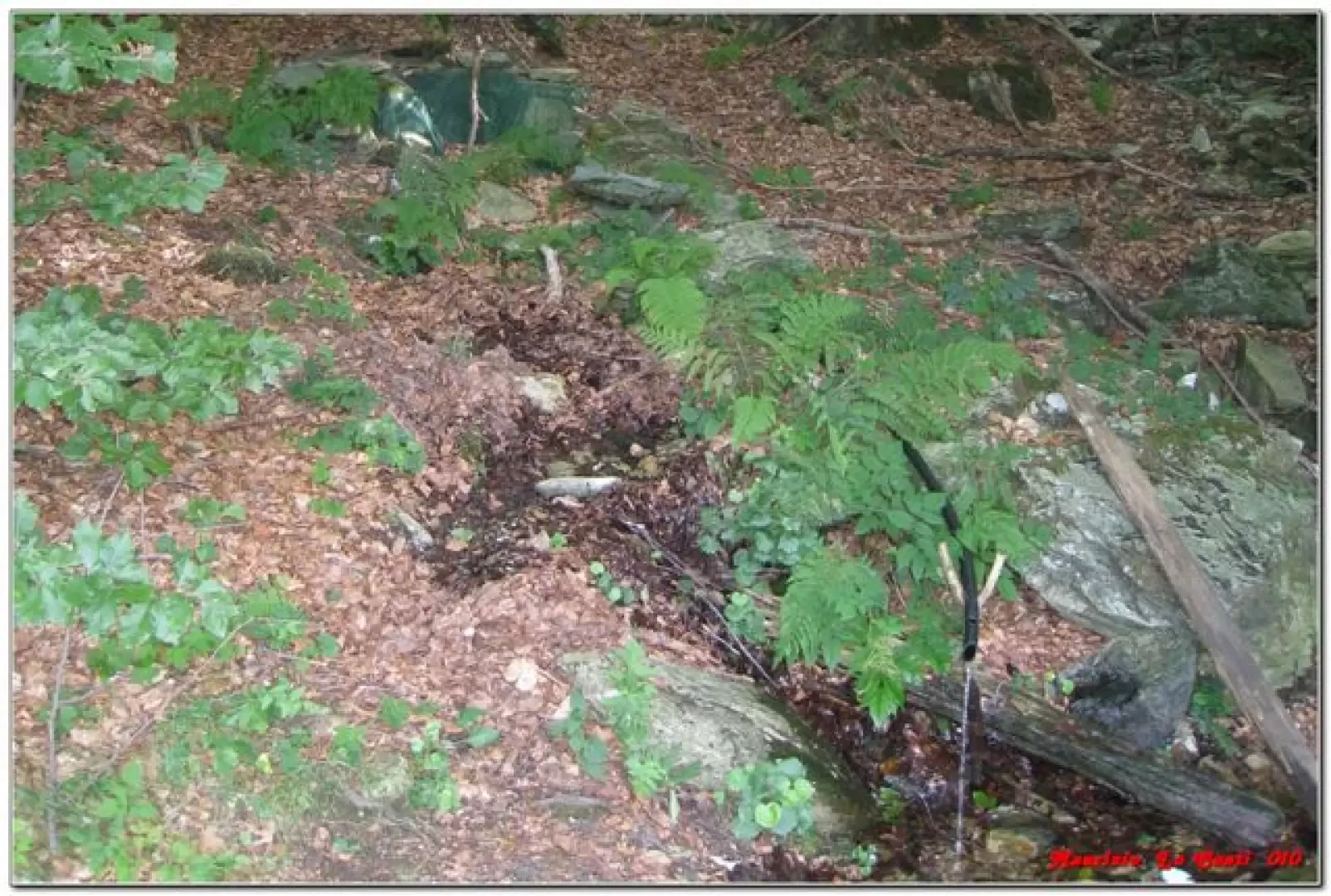
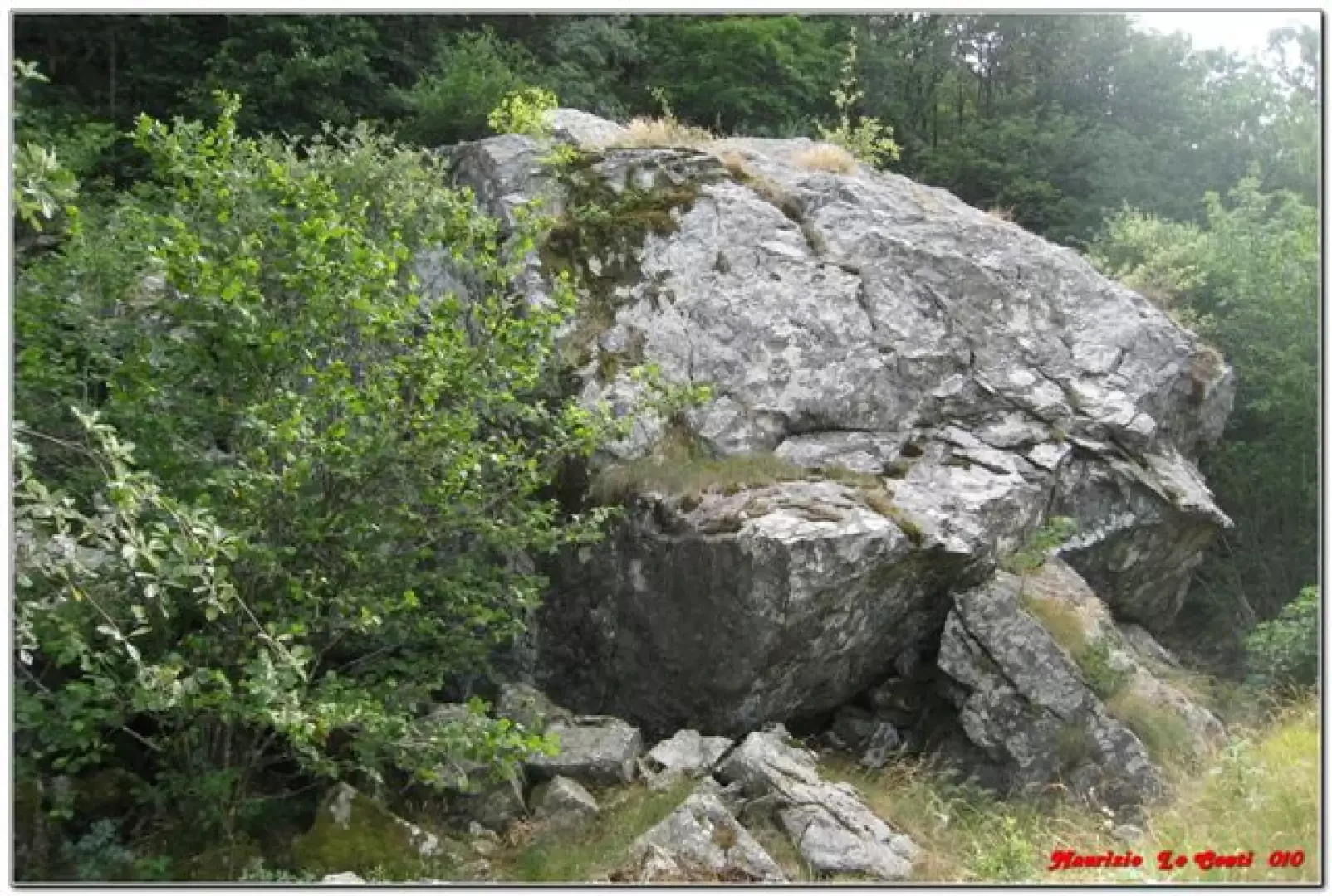
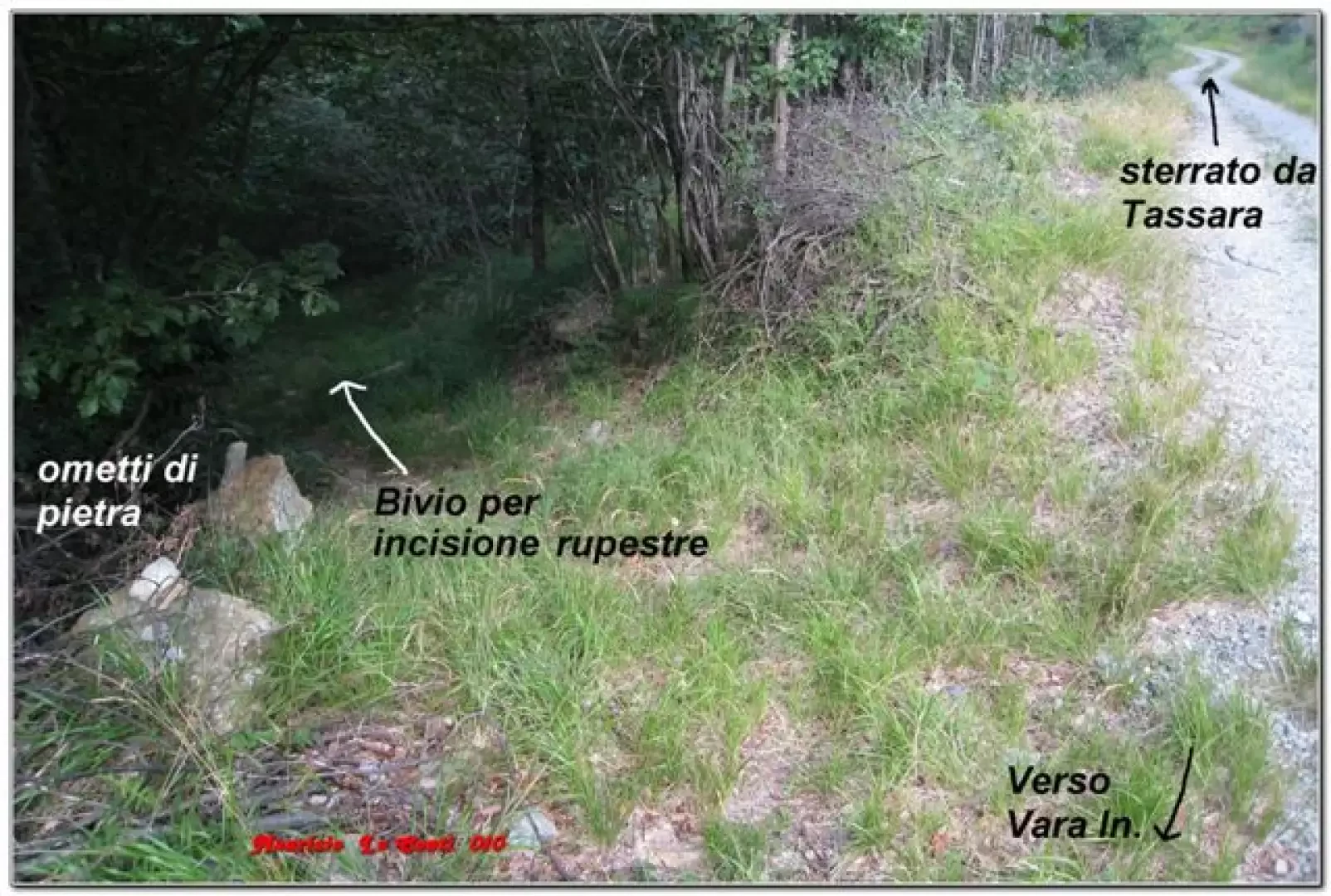
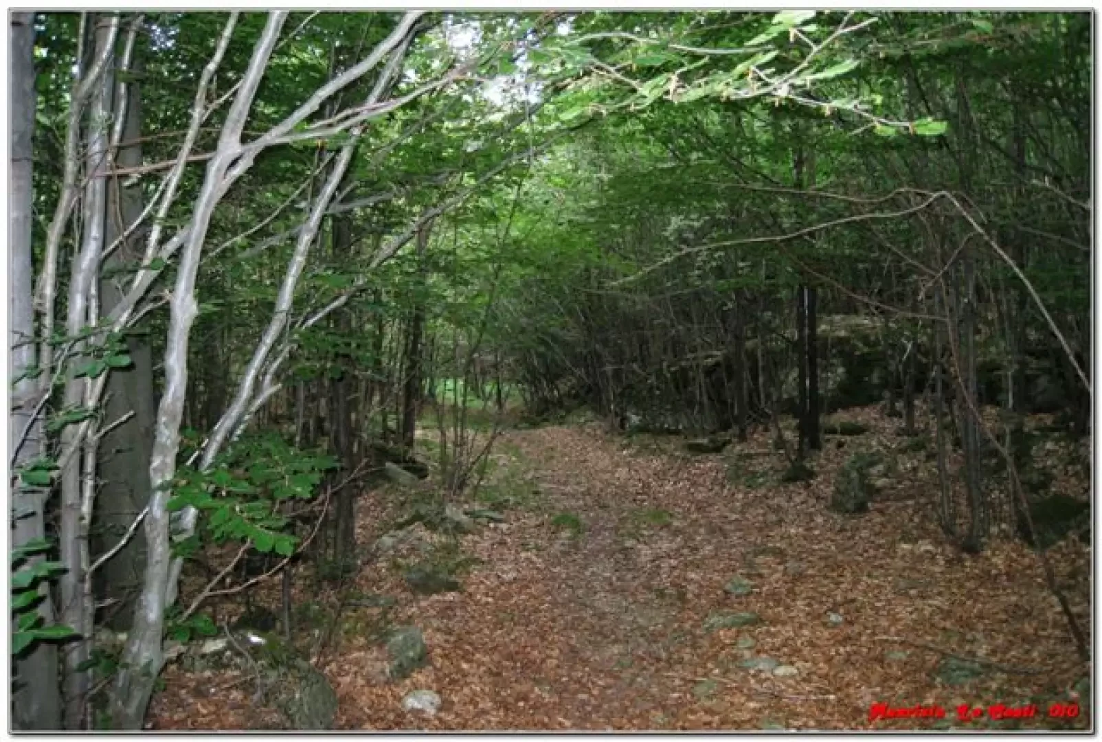
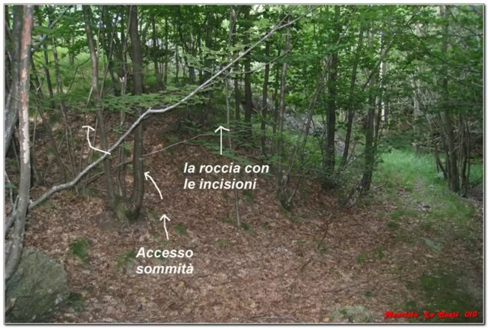
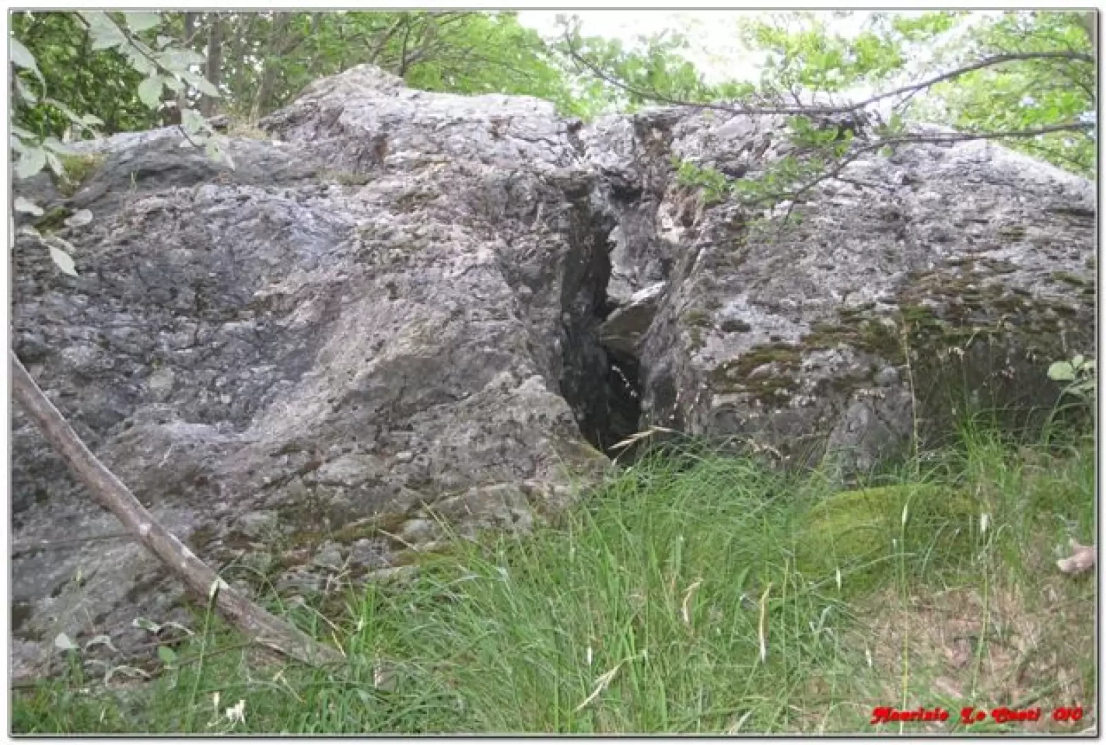
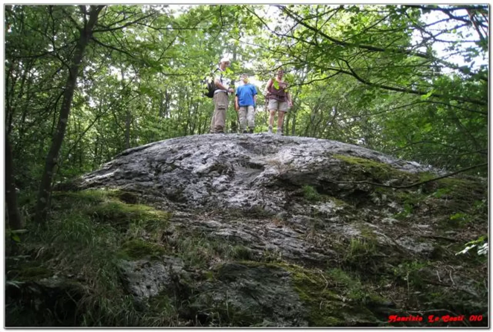
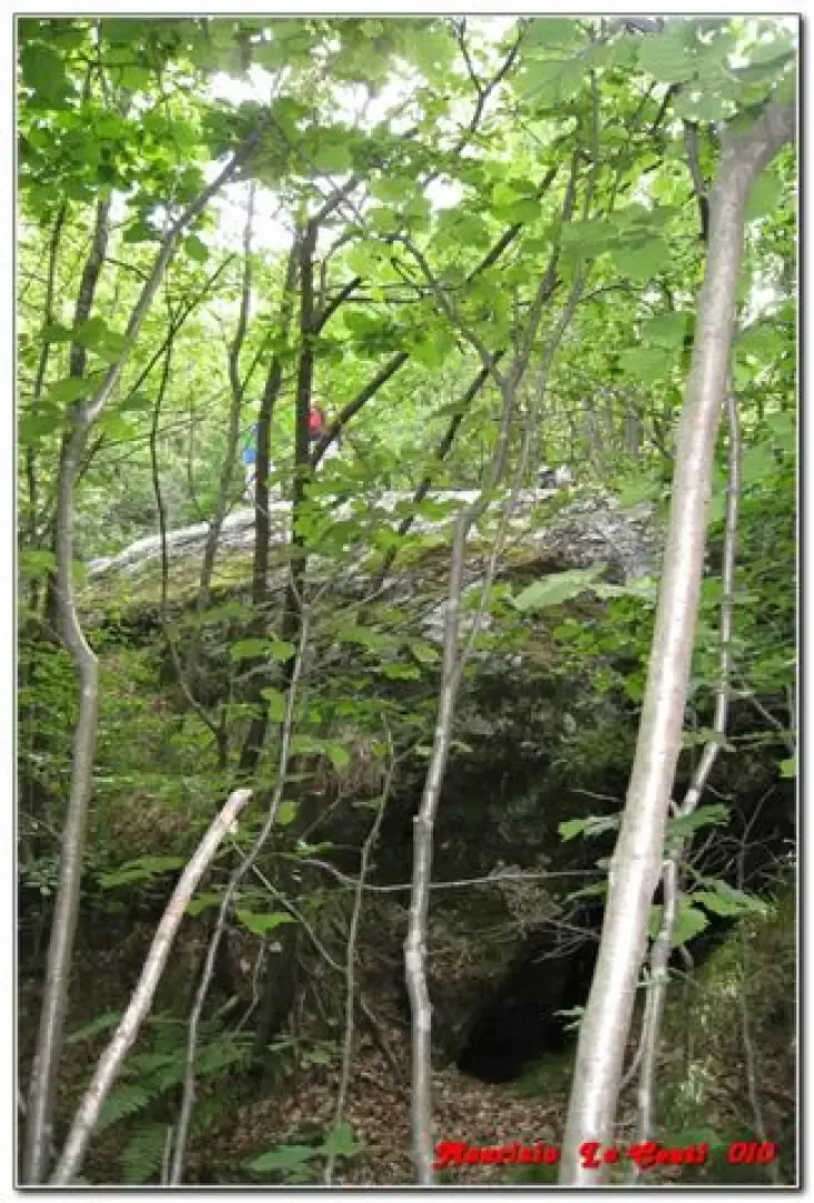
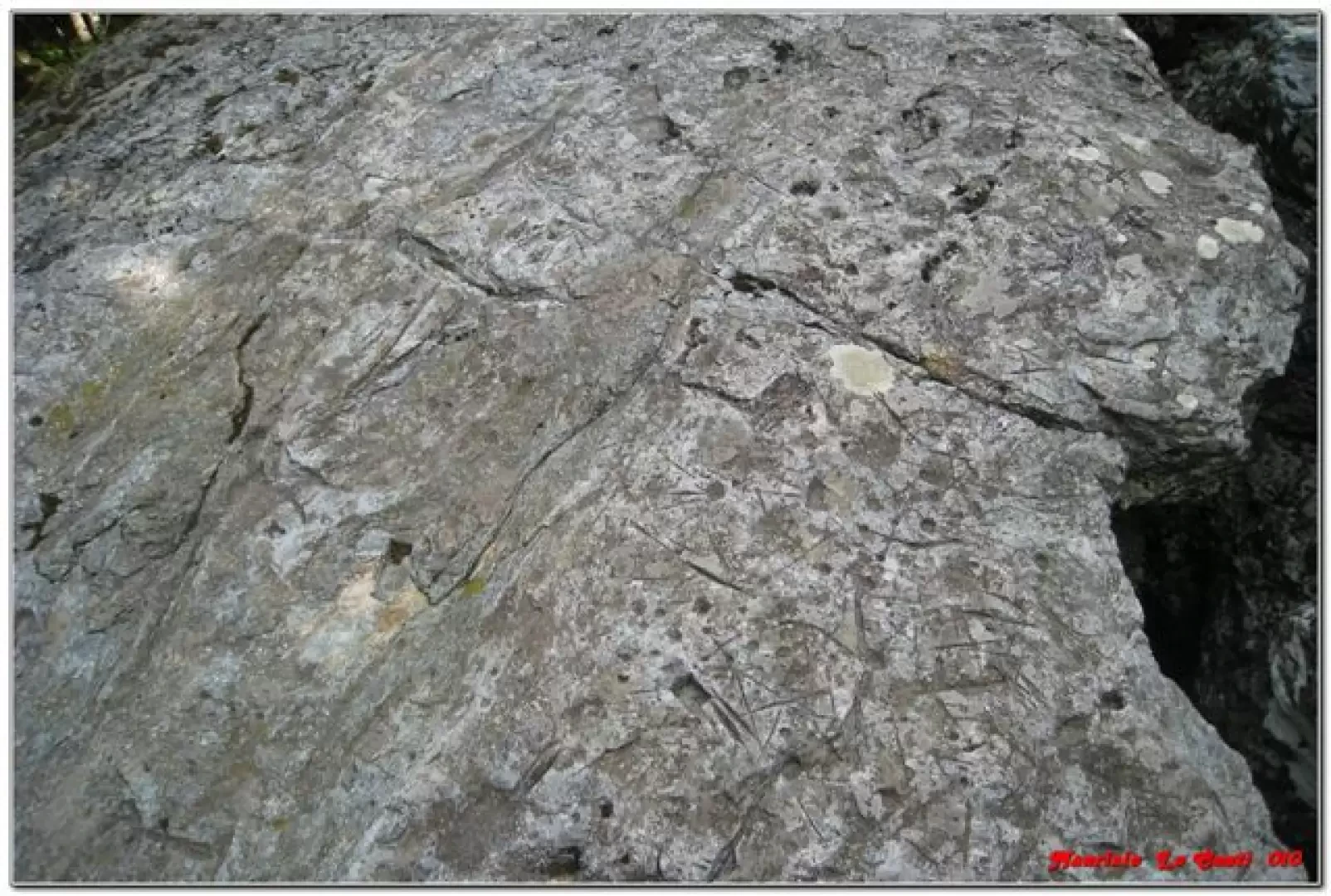
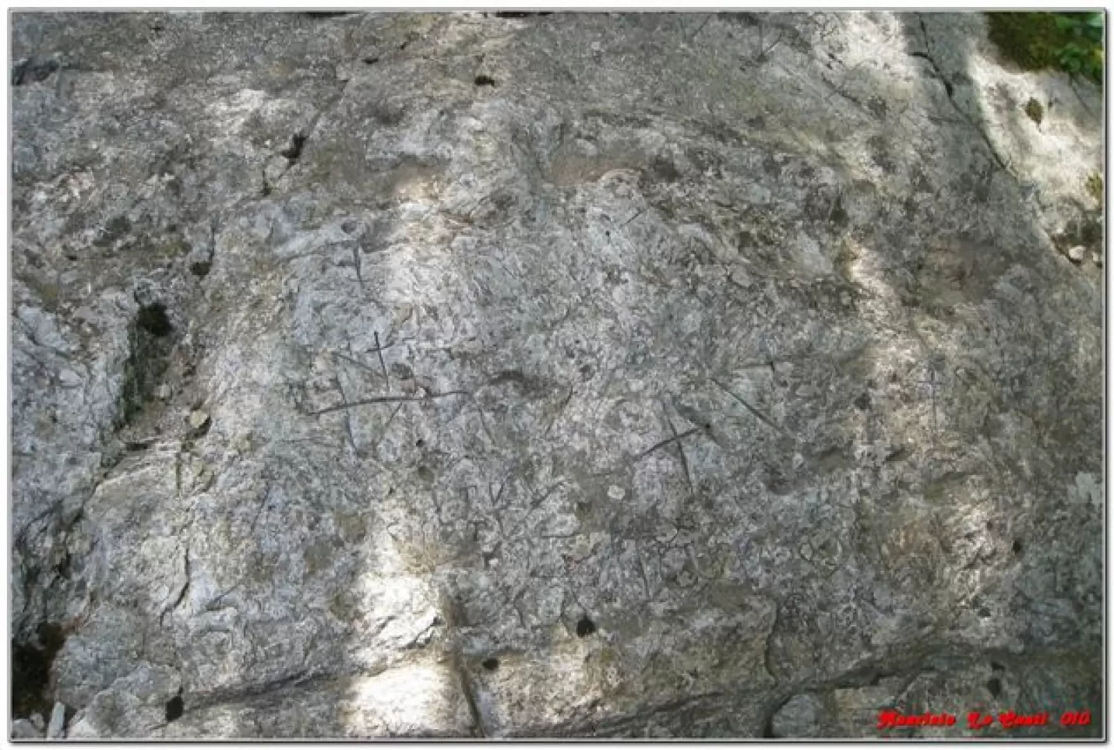
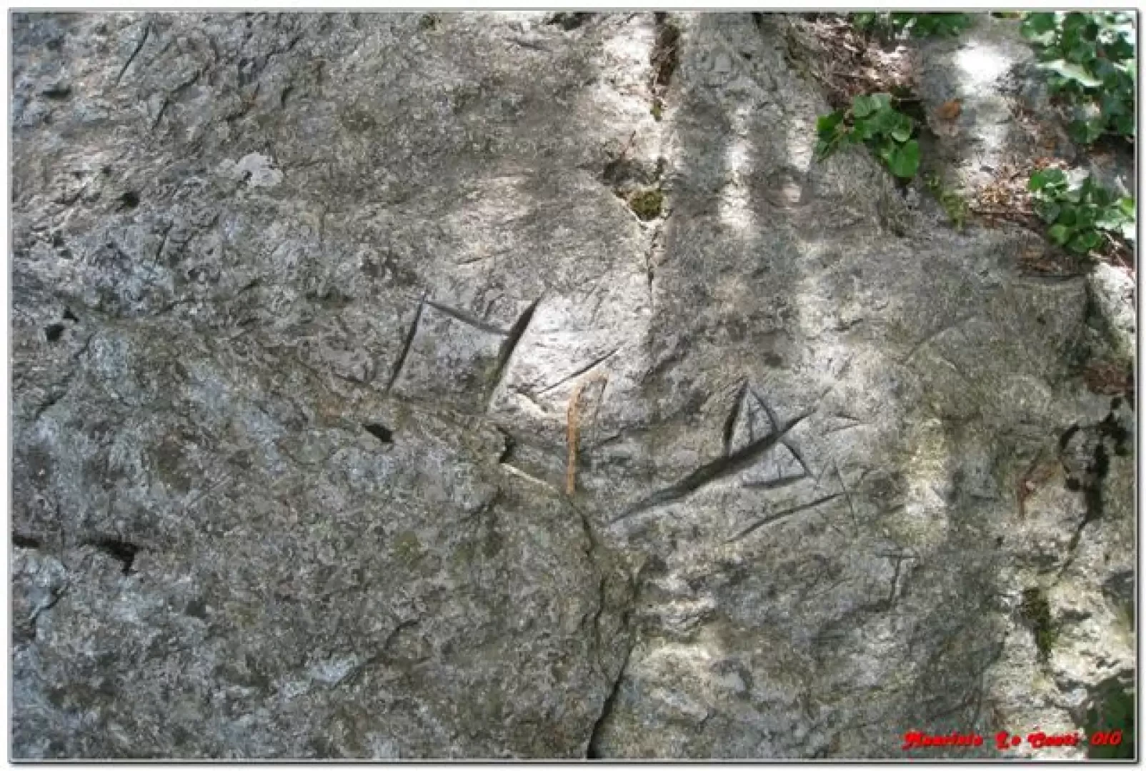
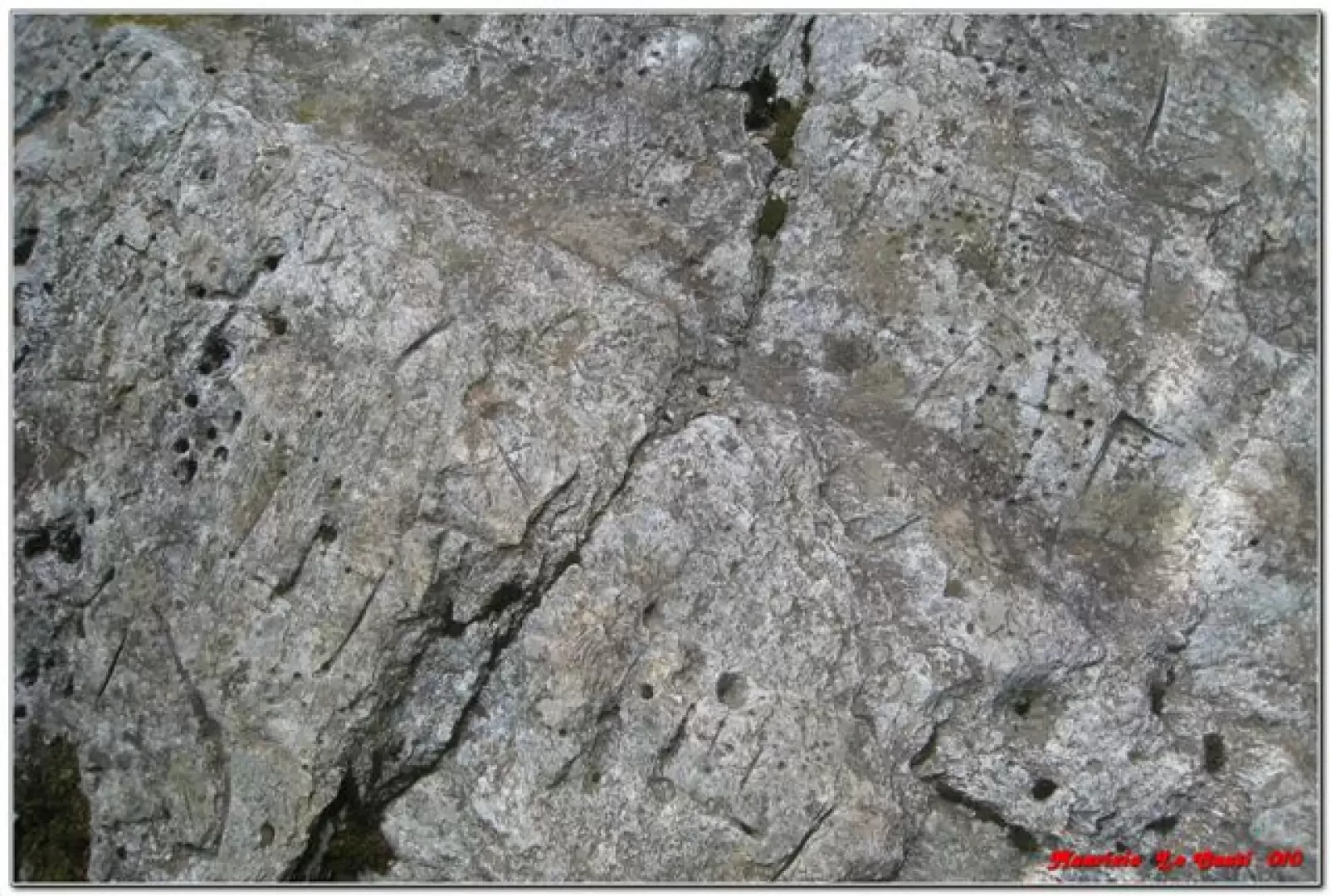
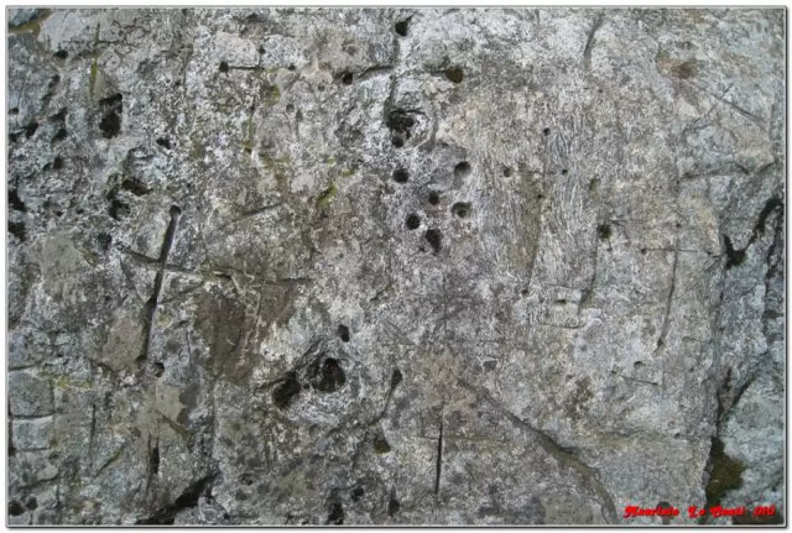
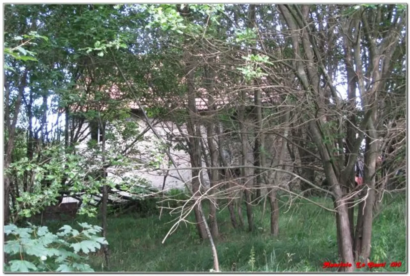
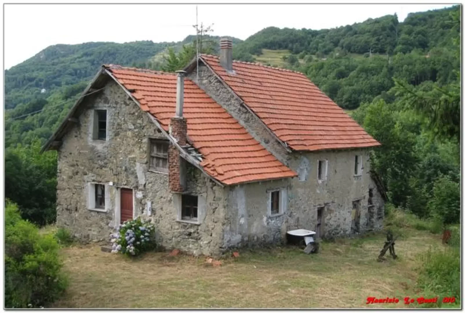
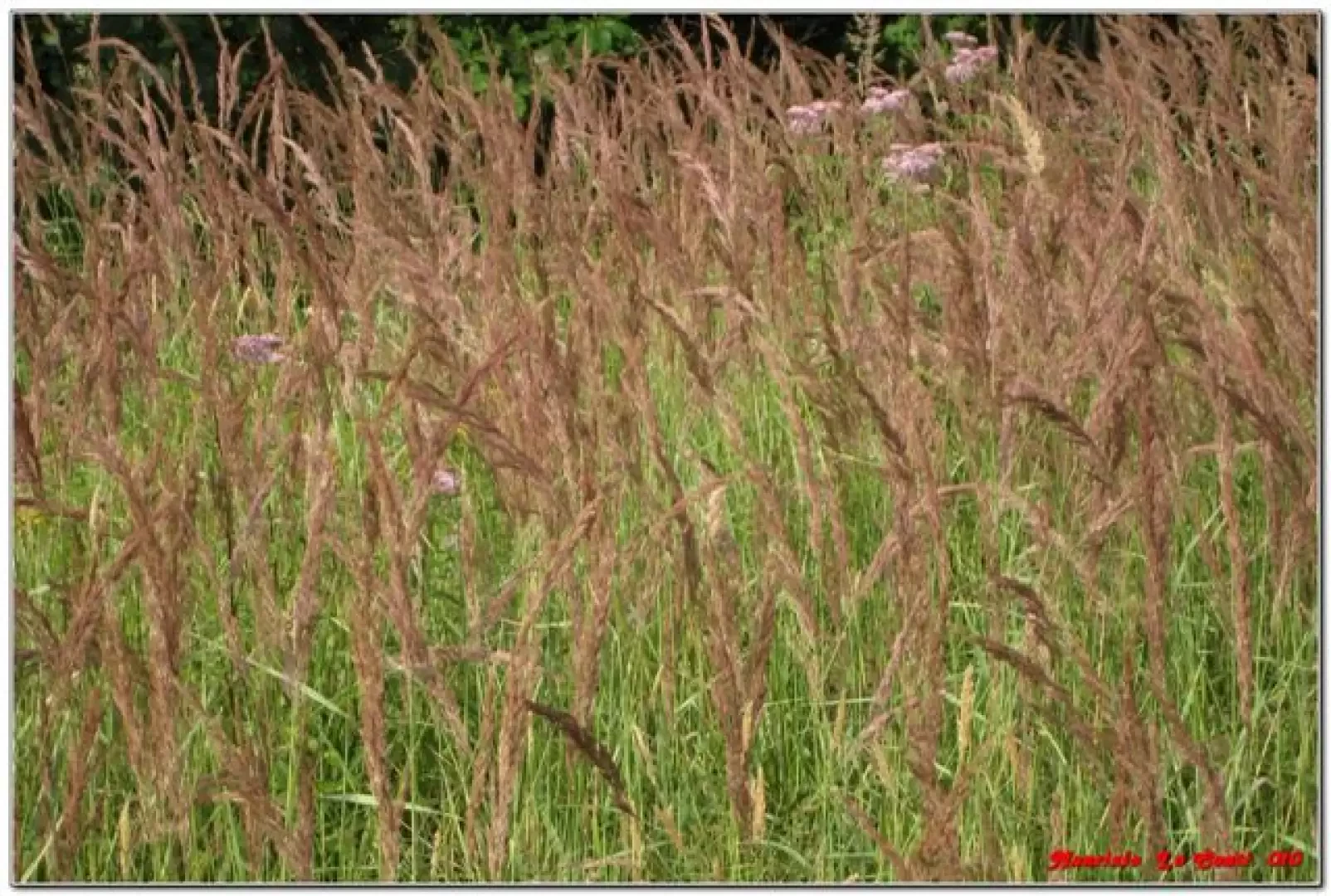
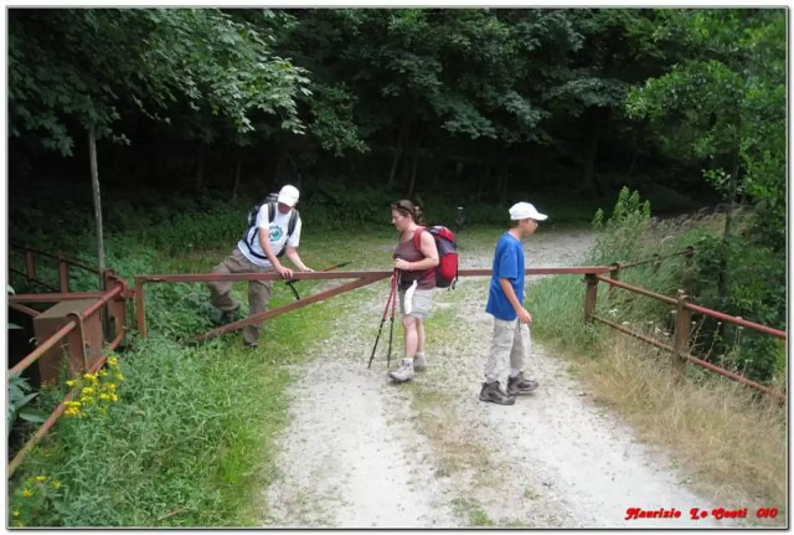
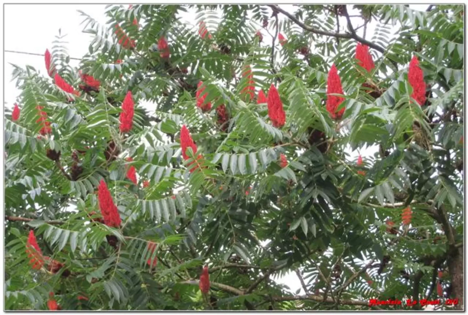
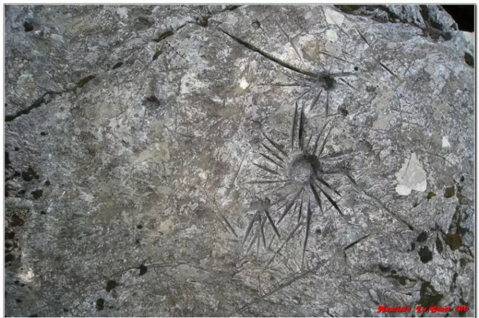
From the Faiallo pass, walk downhill behind the restaurant (barrier to be passed) and in about 15' you reach the two buildings of Case Tassara (source). You ignore the AV (left) and the old yellow line (right) and go straight ahead. The track is not marked, but it is quite clear. For a moment, the path almost seems to get lost, but you keep to the left through the trees for a couple of metres and it is soon clear again. You exit the forest and come out onto a level dirt track (15'), keeping to the right. Then you re-enter the forest and come out onto another dirt track (20'); a plant tends to obstruct and make it difficult to see the direction (especially in the opposite direction...). There are, however, cairns (you also go right downhill here) and you continue to lose height and, afterwards, cross the yellow square (25'). One perseveres on the dirt track downhill, while the FIE symbol occasionally cuts only hairpin bends (the choice is therefore indifferent, but it is better to follow the wider path). Further on (30'), on the left is the spring called "del lupo" (of the wolf) and, again on the left, a series of large blocks, the remains of an ancient landslide (5'). Later (8'), to the right, there is a fork marked by stone cairns. This is the point for a short digression. As can be seen, the mule track is quite wide and in less than 5', one arrives at the large rock with the rock engravings; the enormous boulder is cut along its entire length by a deep cleft. The engravings are unevenly distributed, mostly on the summit (but also on the upstream side). Of the many signs, some are certainly ancient, while others are certainly more recent. After visiting the site, it is 5' back to the previous junction and continue along the dirt track to the right. You pass Casa Bucastrella (less than 10'), the site of an unsuccessful cultivation attempt (cherries, hazelnuts...)... You touch another building, this one well preserved (20'), at Pian d'Olba. In 5' you are on the bridge over the Galada stream (the road is closed by a bar that prevents vehicle access and you climb over). You join the asphalt road (to the right) and cross the bridge over the Orba stream. We climb up the carriageway, passing by a 'Rhus typhina' called the American Sommaco and arrive at Vara Inferiore (15'), where the first car is waiting for us, with which we return to retrieve the second car at Faiallo... In the end, to make the crossing, it takes almost 3 hours (practically all downhill), walking calmly and with a diversion to the rock site. If you don't have the possibility of the two cars, you can make an excursion with departure and arrival at Vara inf., but without all the advantages highlighted in the introduction... Bibliographic reference for this last option: http://www.giovo.info/upload/cmgiovo/itinerari/Vara_7574_114.pdf NB: huge file size: 12.2 Mb! In truth, there would also be another option... once you have set off from Vara Inferiore and taken the route in reverse to that described above, you arrive at Case Tassara. Here you can follow the old yellow line, which partly runs along the Olba torrent and then climbs the gullies (difficult at this point). It joins the asphalt road and the yellow square at the bridge over the Olba torrent (there is currently a gate of a property right at the point where you should arrive). But the symbol is very old and partly deteriorated (so this section can conservatively be classified as EE). Personally, I have only done it once, but 7 or 8 years ago (it lasted about 2h/2h30, but if you have difficulty in finding the right track, the time can be disproportionately long) and I do not know the current precise conditions of the route. If you would like some photos of the excursion described in detail above at http://www.cralgalliera.altervista.org/altre2010.htm direct link http://digilander.libero.it/MAURIZIOLC/faiallo010.pdf NB: in the event of an excursion, always check with FIE, Cai, any park authorities or other institutions, pro loco, etc., that there have been no changes that have increased the difficulty! No liability is accepted. This text is purely indicative and not exhaustive.
.Galleria fotografica