From Camogli to Santa Margherita Ligure
Introduction
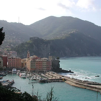
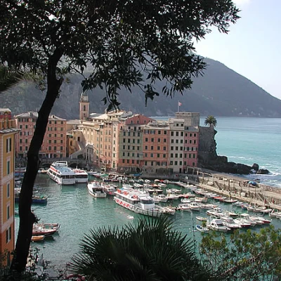
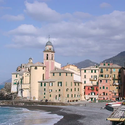
This is one of the many itineraries within the Portofino Regional Natural Park; from Camogli, a beautiful seaside village with its row of tall multicoloured houses by the sea, you climb to the small church of San Rocco, then cross over San Fruttuoso, pass over the northern slope and descend rapidly to Santa Margherita; you return to the starting point by train.
Description
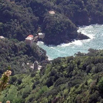
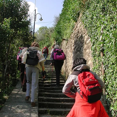
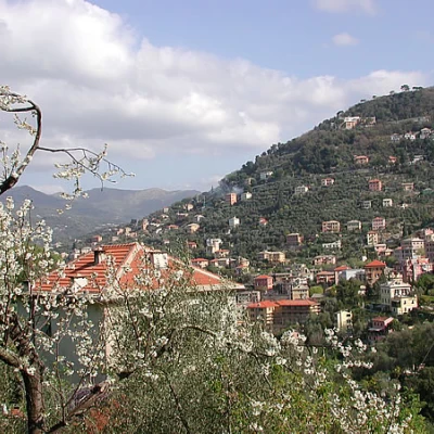
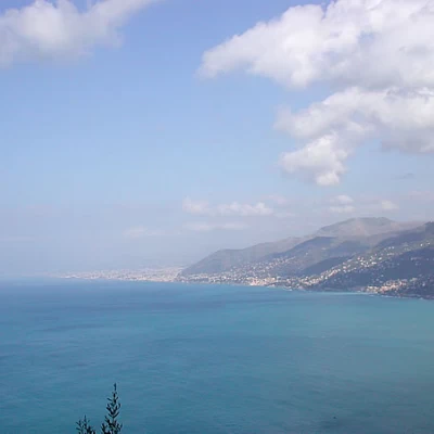
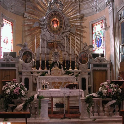
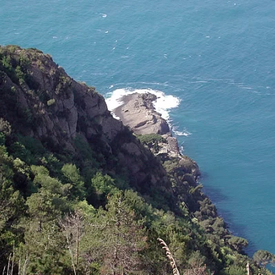
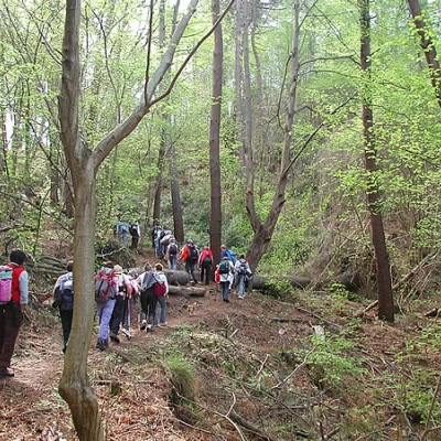
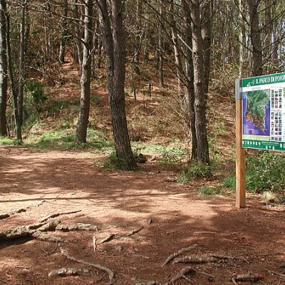
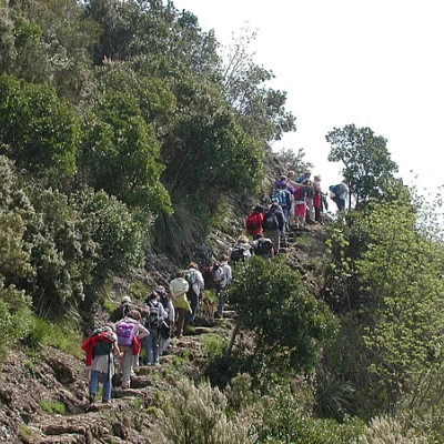
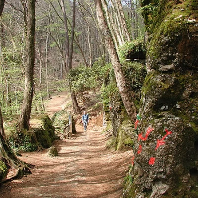
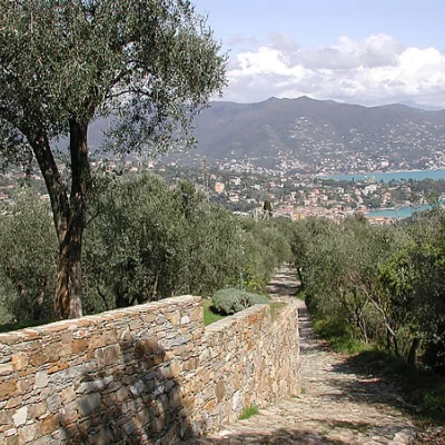
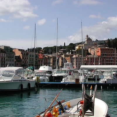
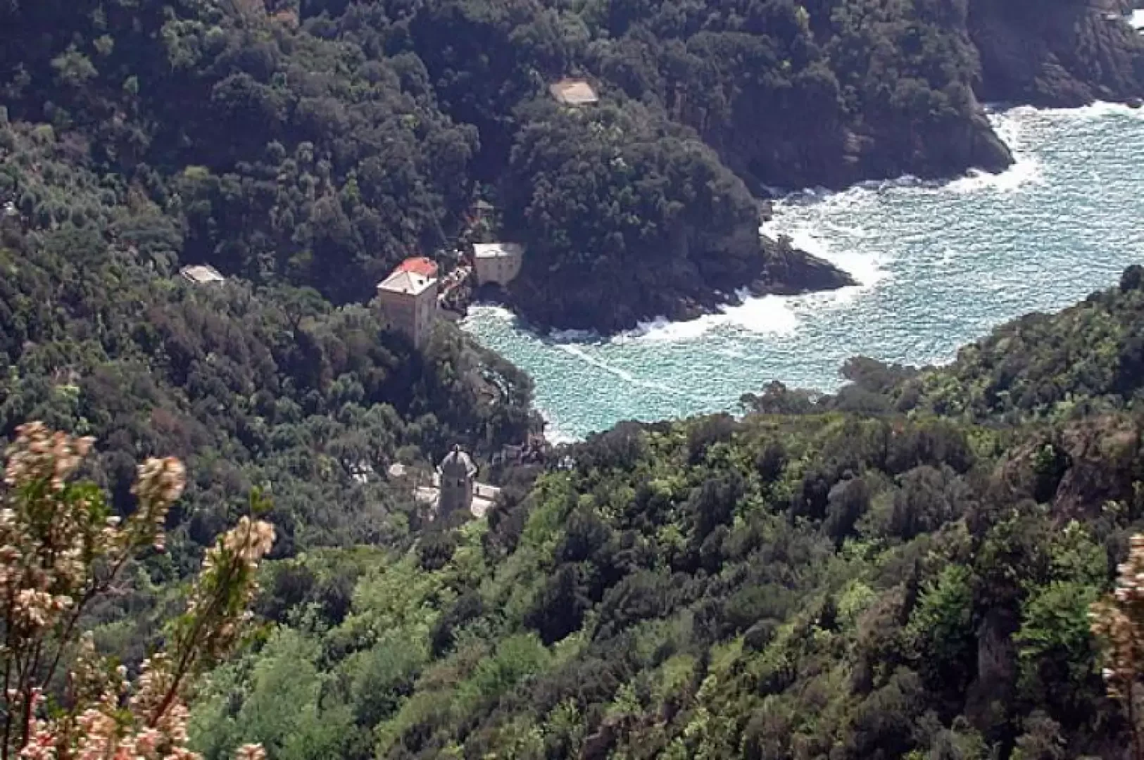
The first section of our tour runs between Camogli and San Rocco; these paths were connecting routes between the villages, used when sea conditions did not allow the use of boats. Camogli is a beautiful seaside village, with its string of colourful houses. The first signposts of the path to San Rocco are encountered as we descend along Via Cuneo to the left at the first fork, near the chapel of San Bartolomeo, now a private residence. We climb in the shade, along the Costa di Castellaro and the Gentile stream, after the Co' bridge. Around us is the Camogli countryside, and beyond the walls the houses, remodelled over the years to adapt them to the needs of the owners, but trying to leave space for farming. The land is cultivated with olive trees, vines, fruit trees, vegetable gardens, and meadows for fodder for small farmyard animals. The climb is gentle at first, all steps, becoming steeper in the last stretch. When you reach San Rocco, treat yourself to one of the best focaccias in the area at the bakery 50 metres to the left before the little square, and then visit the church. The views here are superb; to the north, over the surrounding hills all cultivated, to the south, over the west coast of Liguria to Genoa. All isentieri are well signposted, with posts on which to read the directions, and then with red geometric figure signs, different for each route. At San Rocco, descend to the right, looking at the church, on the lower path, which passes under some houses, overlooks some cultivated fields and houses, and then continues into the forest, first on the level and then with wide bends. Beware of the various forks in the path; always follow the signpost Sella Toca. Around the path, laburnums, olive trees, black hornbeam, Aleppo pine and a tree heather with beautiful white flowers; the tour was taken on 13 April. It is superlative here; to the north, the surrounding hills all cultivated, to the south, the west coast of Liguria as far as Genoa. All the paths are well signposted, with stakes on which to read the directions, and then with red signs with geometric figures, different for each route. The rock below us plunges into the sea; many olive groves are now abandoned; we also encounter a few springs and a sparse pine forest of maritime pines; signs of the passage of wild boars everywhere. As we ascend, beautiful views open up and the path zigzags its way through the forest; having reached Sella Toca, we find a crossroads of paths: to the right in five minutes we arrive at the new traffic light, a hump with a beautiful view of the surrounding area, to be travelled with caution because it is a little narrow and slightly exposed in places. We retrace our steps and follow the route that leads to Pietre Strette. We go almost level, and climb and descend, keeping around 450 metres above sea level; the route offers interesting views of Cala dell'Oro, which is crossed all at altitude, and of the San Fruttuoso inlet. The San Fruttuoso inlet and the Cala dell'Oro inlet are very similar because they have the same geological history. This ridge is very windswept, and the Mediterranean vegetation has been supplanted by brambles and ferns due to fires. The last part of the trail is a cool forest; at Pietre Strette there are tables and benches for a rest, and even a beautiful white cat wandering among the tourists asking for lunch.... has learnt that tourists are generous...sometimes... Pietre Strette is also a crossroads of paths: we decide to take the one marked with two red diamonds, which descends to Santa Margherita; the first section is a dirt track to the left, which is abandoned almost immediately for a steep path down into the woods. The path after a while turns into a mule track, then into a dirt road as soon as you enter the cultivated fields, and after a stretch of asphalt road, again in steps between high stone walls surrounding farmhouses and villas, until you reach Santa Margherita near the hospital; continue straight on, cross the road and always straight on towards the port and then the station, where by train you can return to your car at Camogli (there are trains every 15 minutes or so).
