Flambeau d'Arlaz, from Orbeillaz

Edited by:
Massimo Martini
Updated at: 14/02/2025
Access
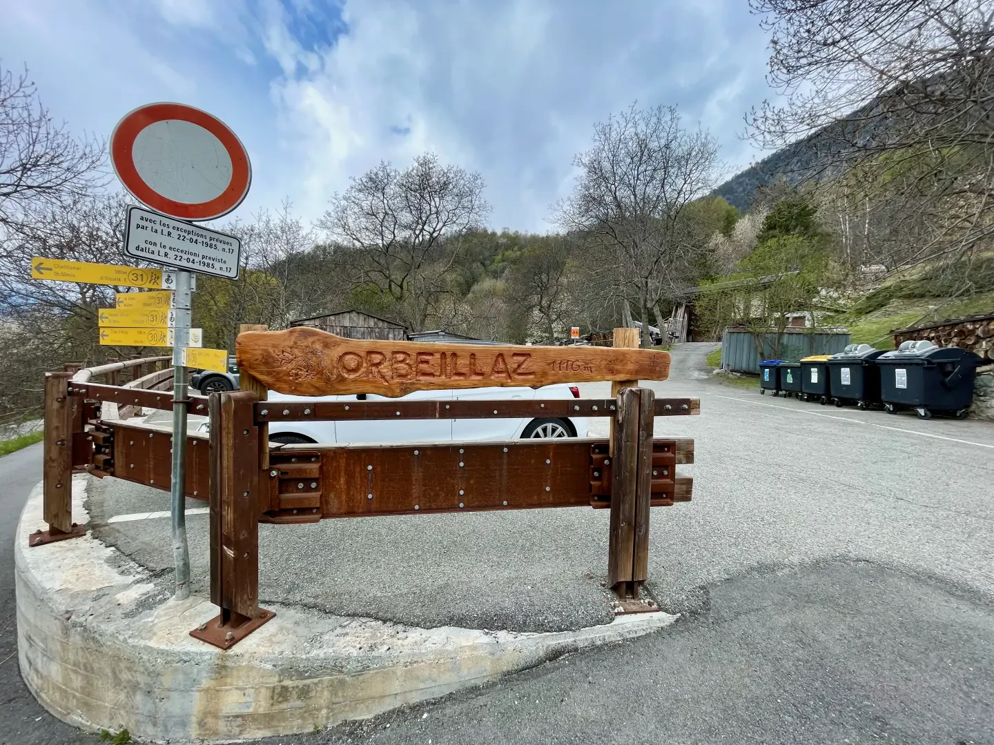
Leaving the motorway at the Verrès exit, enter the roundabout and take the second exit. Proceed in the direction of the town centre and, after 300m, turn left onto the regional road for Val d'Ayas. Follow the regional road for 16.5 kilometres, passing the village of Challand-Saint-Victor and the villages of Challand-Saint-Anselme, Corliod, Tilly and Quincod, where you will come to the crossroads for Col Tsecore. Turn left and follow the little road as far as Orbeillaz: go past the characteristic chapel dedicated to St Mary Magdalene and reach the end of the village where there is a small car park 🅿️ where you can leave your car free of charge.
[0h20'] - [11.7km]
How to get there with GMaps
How to get there with Apple Maps
The directions given here have been verified as of the date of the route survey. Before setting off, it is advisable to ensure that no substantial changes have occurred on the route to the starting point. Therefore, we recommend the use of the satellite navigation apps provided by Google or Apple for up-to-date and detailed directions.
Introduction
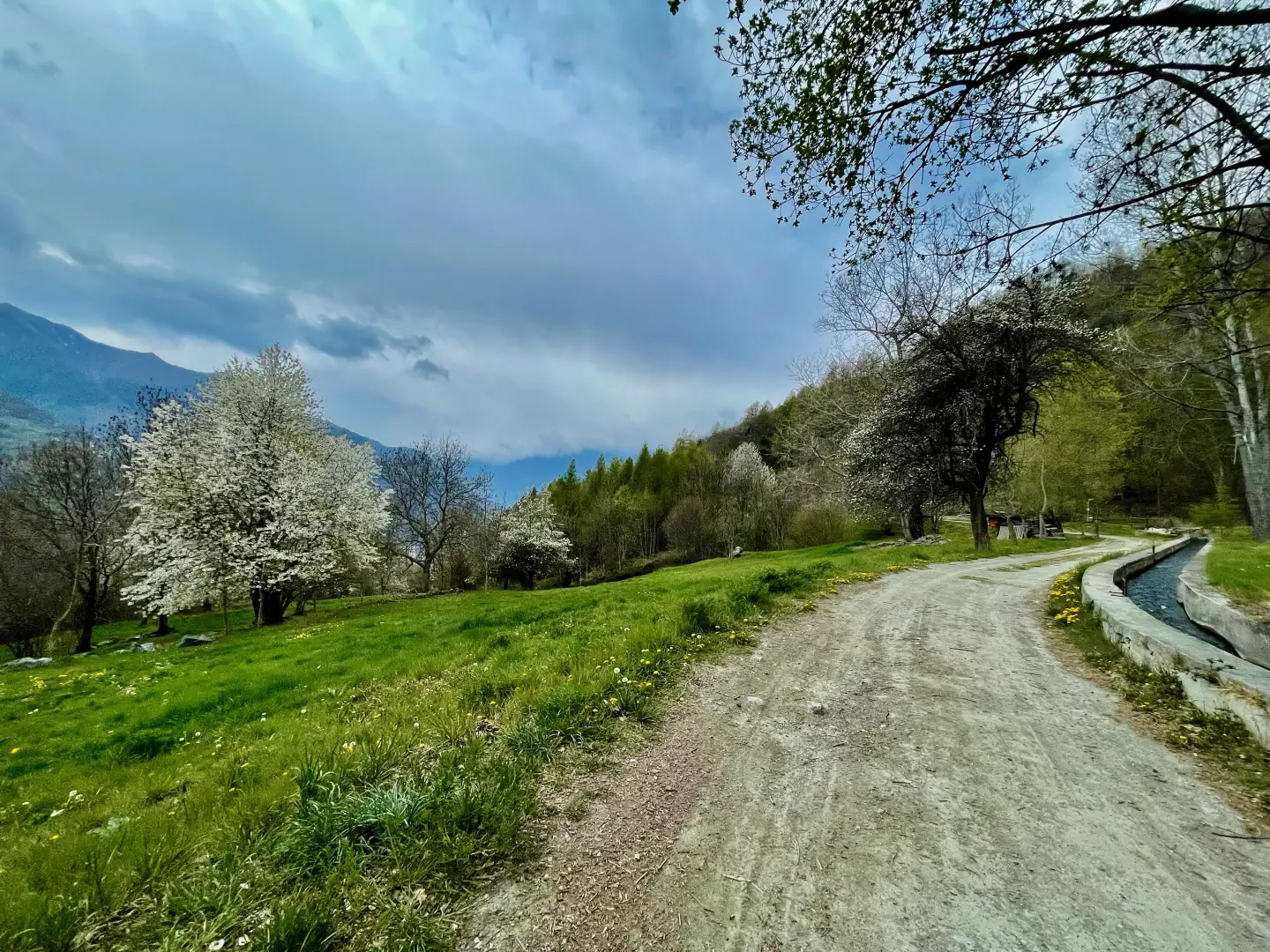
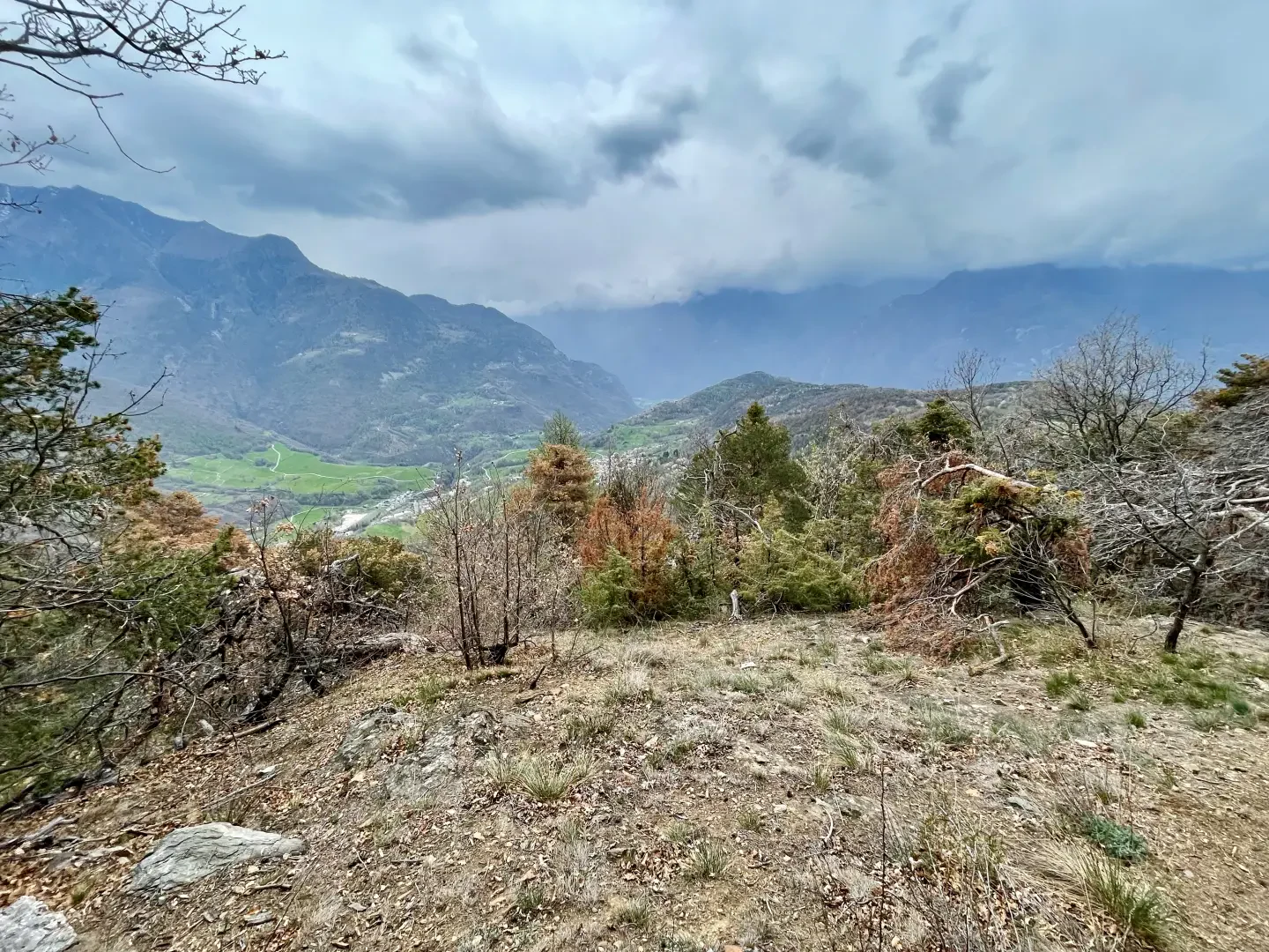
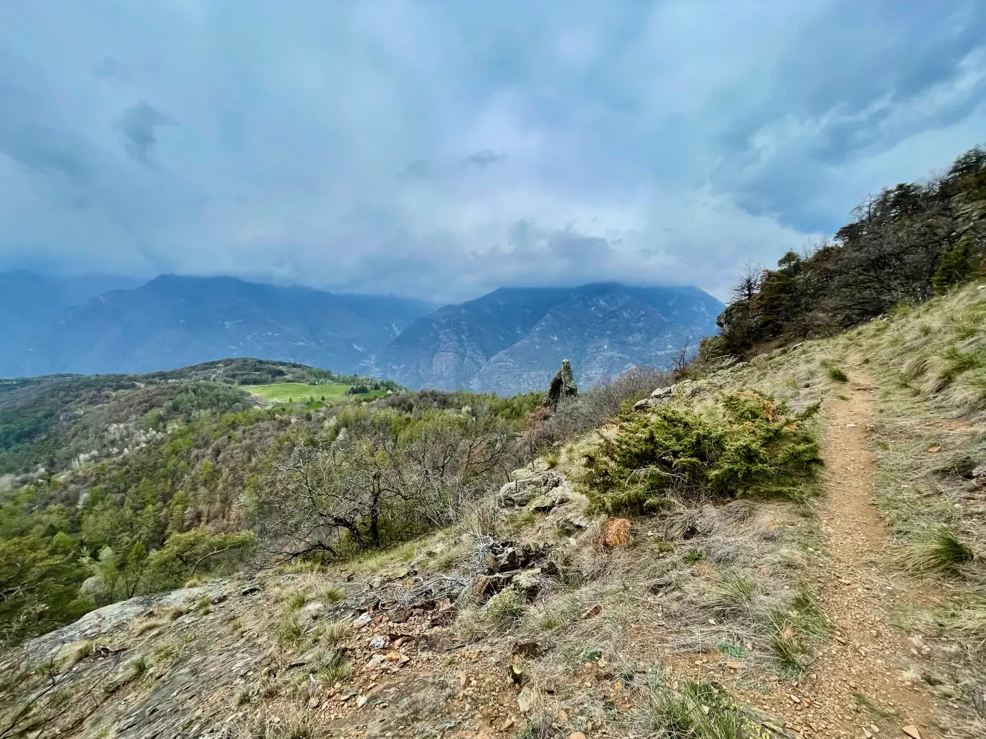
The itinerary towards the Flambeau d'Arlaz is a hike of great scenic and natural interest, located in the Challand-Saint-Anselme area in the Valle d'Aosta. The route, which starts from the village of Orbeillaz, crosses suggestive environments among chestnut forests, pastures and ancient artefacts, offering unique panoramic views. One of the highlights of the hike is the passage along the Ru d'Arlaz, an ancient irrigation canal that testifies to the importance of agriculture in the area and accompanies the first stretches of the trail with its peaceful flow. Along the way, one encounters elements of historical interest, such as dry stone walls and the penstocks of the Isollaz hydroelectric power station, as well as wooded stretches that provide a relaxing atmosphere.
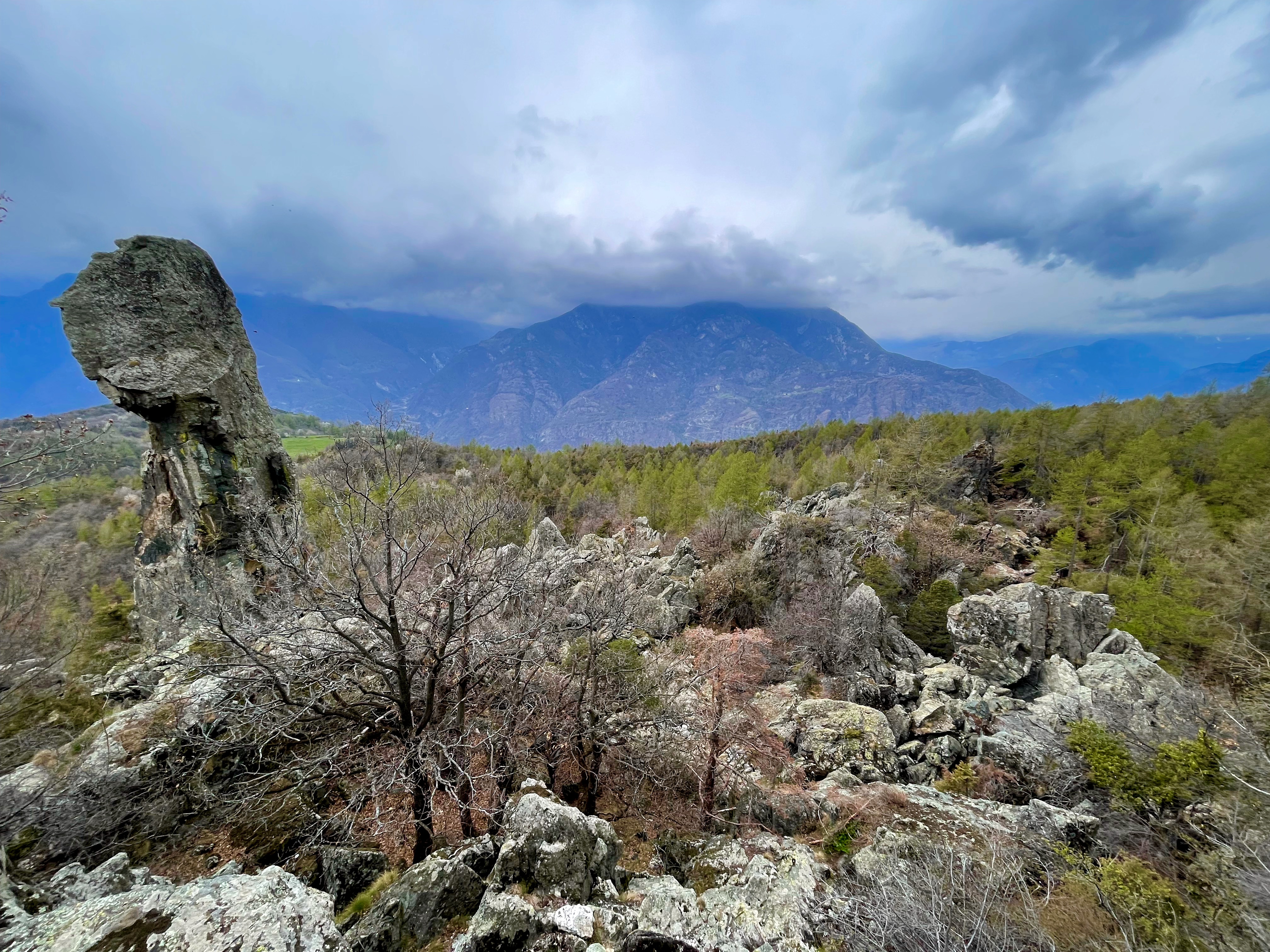
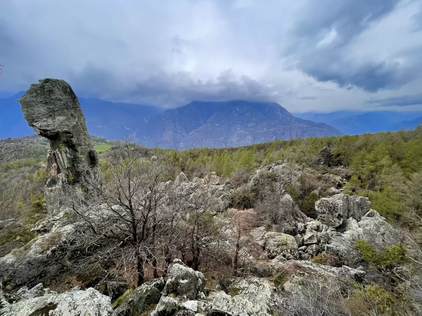
The most spectacular element of the route is the Flambeau d'Arlaz (1144 m), a rock monolith that rises majestically in the landscape and, with its slender and imposing shape, resembles the flame of a torch. The vantage point nearby allows you to admire it in its entirety, offering an impressive view of the surrounding valley.
The hike, which is relatively short and without significant technical difficulties, is suitable for hikers with a minimum of experience on mountain trails. The return is along the same route as the outward journey, ending again in the hamlet of Orbeillaz.
Description
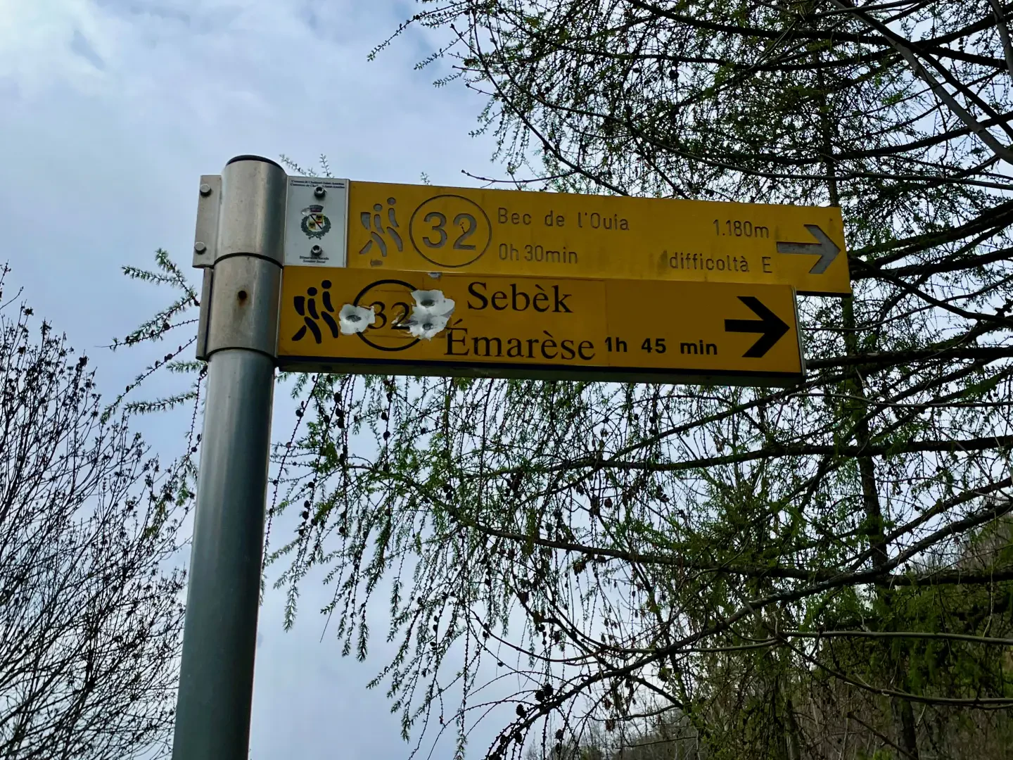
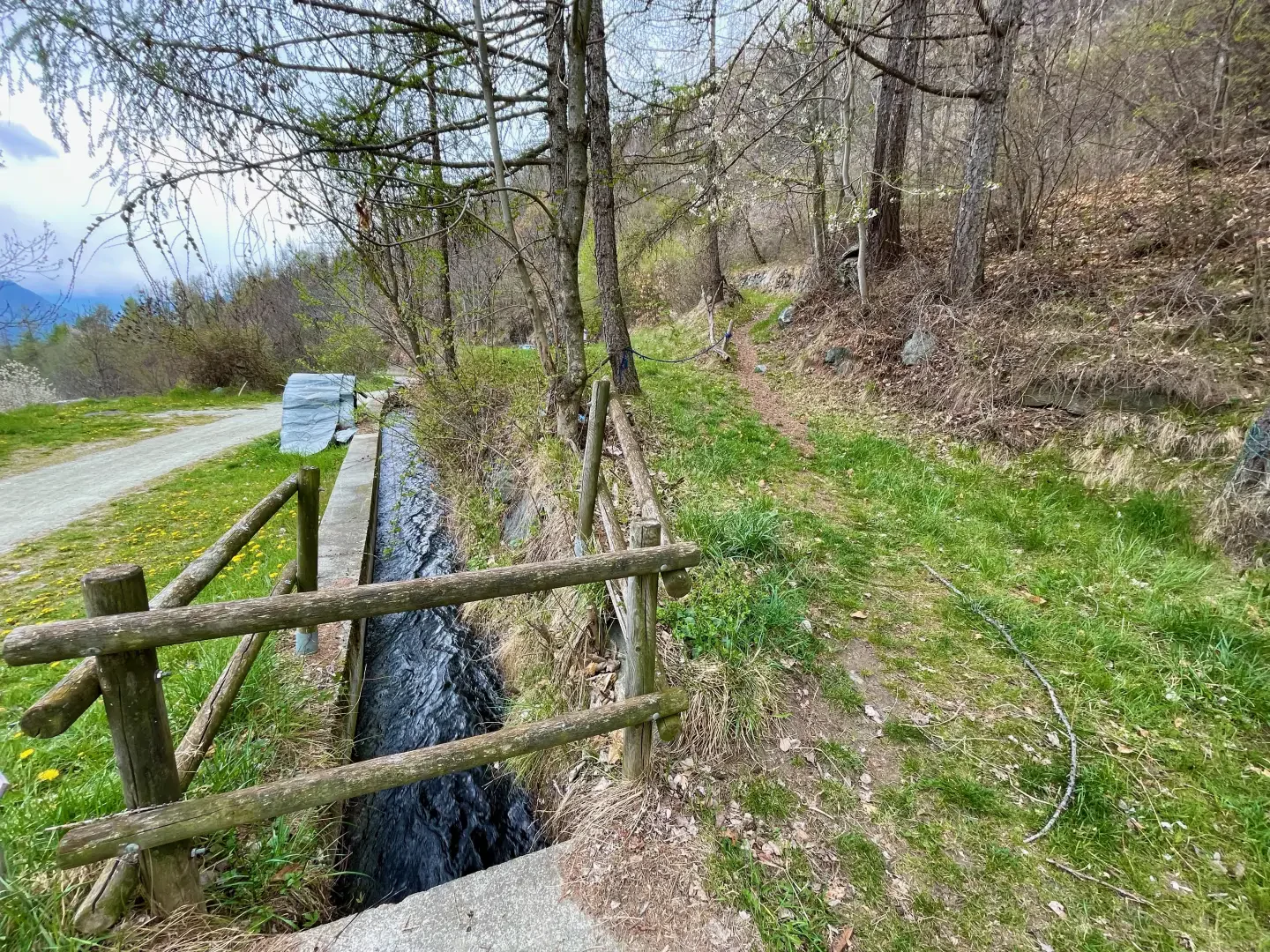
0h00' 0.00km Take the small road with no access for unauthorised vehicles, located near the signpost. Continue for about 300 metres, skirting the Ru d'Arlaz on a level path through woods and pastures, until you reach a second marker post with signs for Bec de l'Ouia and Sebèk.
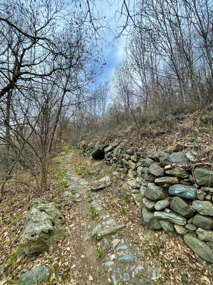
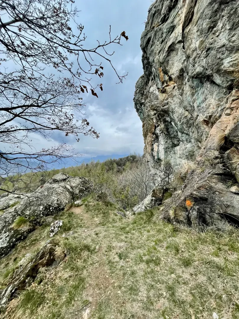
0h05' 0.27km Turn right and take the path that crosses the Ru d'Arlaz over a small bridge, then ascend the sparse chestnut forest (Castanea sativa) along an ascending diagonal. The path skirts stretches of dry stone walls until it reaches a fork with a marker post.
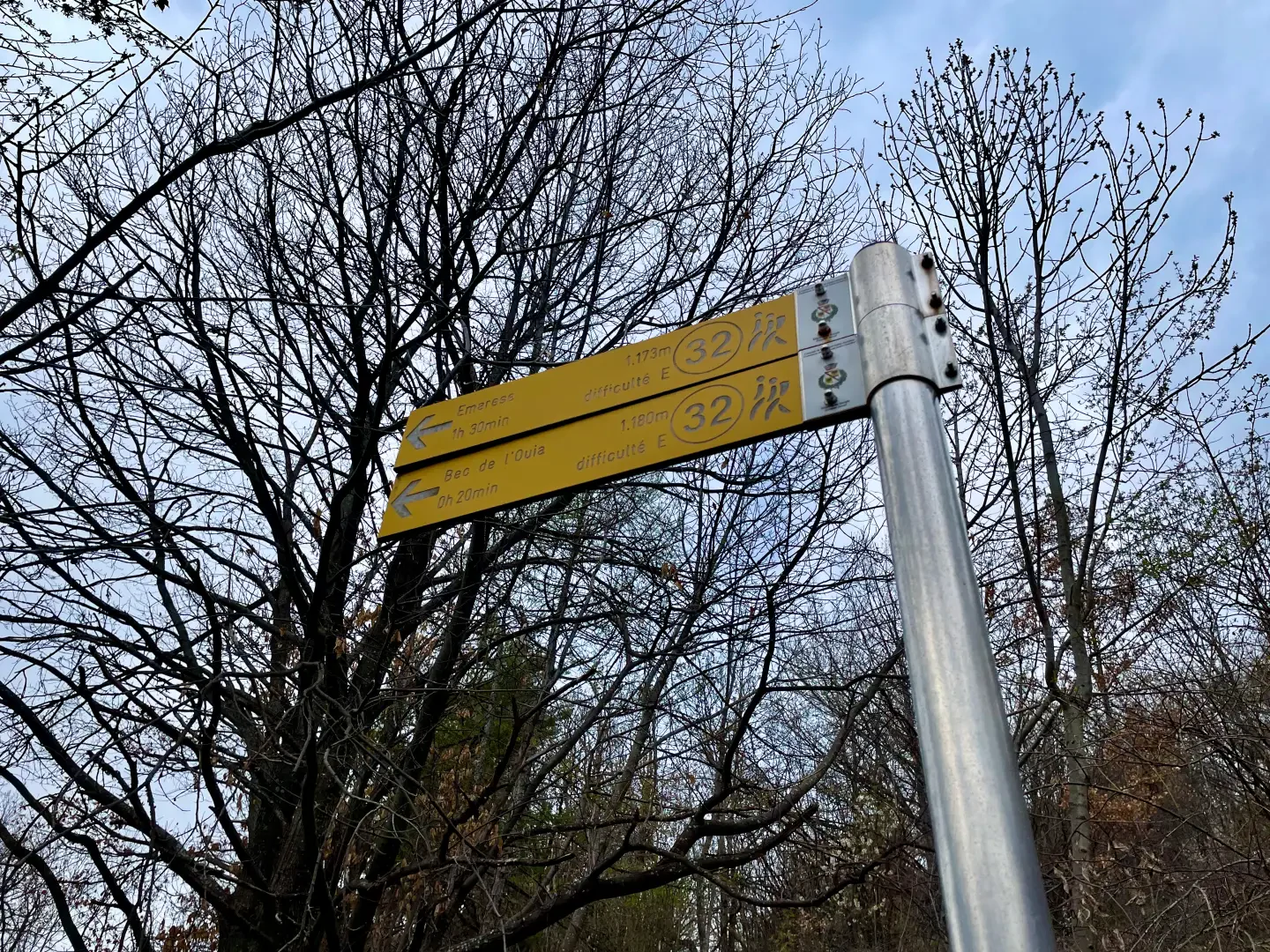
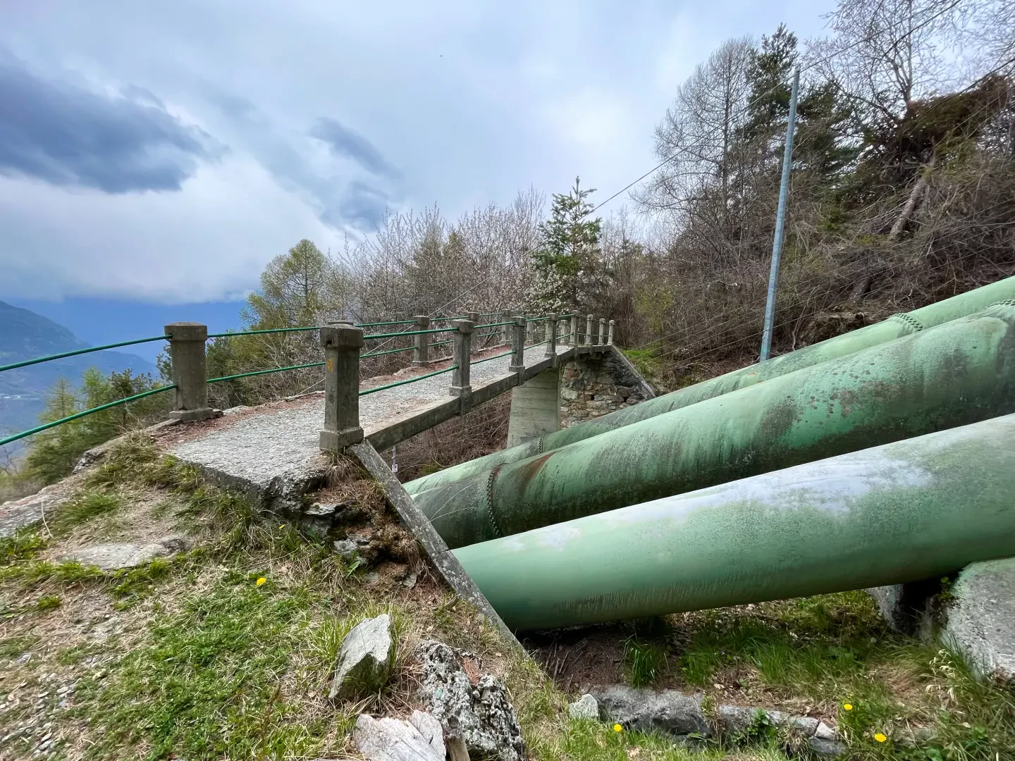
0h15' 0.68km Keep to the left on the narrow path, which runs almost level through the sparse woodland, until you reach a small concrete bridge that crosses the penstocks of the Isollaz power station. From here, the path begins to lose altitude slightly until it emerges from the forest, offering the first view of the monolith. We then follow a short, slightly steep section until we reach a viewpoint, from which we can best appreciate the peculiar rock structure of the Flambeau d'Arlaz (1144m) 0h45' 1.63km .
The return is along the same route as the outward journey, retracing the path until reaching the village of Orbeillaz, the starting point of the itinerary (1116m) 1.63km .
Points of Interest
Collections
Galleria fotografica
We have been there
Edited by:
Massimo Martini
Flambeau d'Arlaz
Itinerario ripercorso dopo qualche anno durante un'uscita più ampia. Poco dopo Orbeillaz si incontrano le paline con le indicazioni per il Bec de l'Ouie. Ho trovato il sentiero pulito e senza ostacoli.
Giornata non eccelsa ma anche con le nuvole e qualche goccia d'acqua il panorama rimane avvincente.