Eresaz, ring from Emarèse


Edited by:
Massimo Martini
Updated at: 27/01/2026
Introduction
A short walk through the forests at mid-altitude. The moderate altitude difference and relatively low arrival altitude make it an excellent off-season hike.
Description
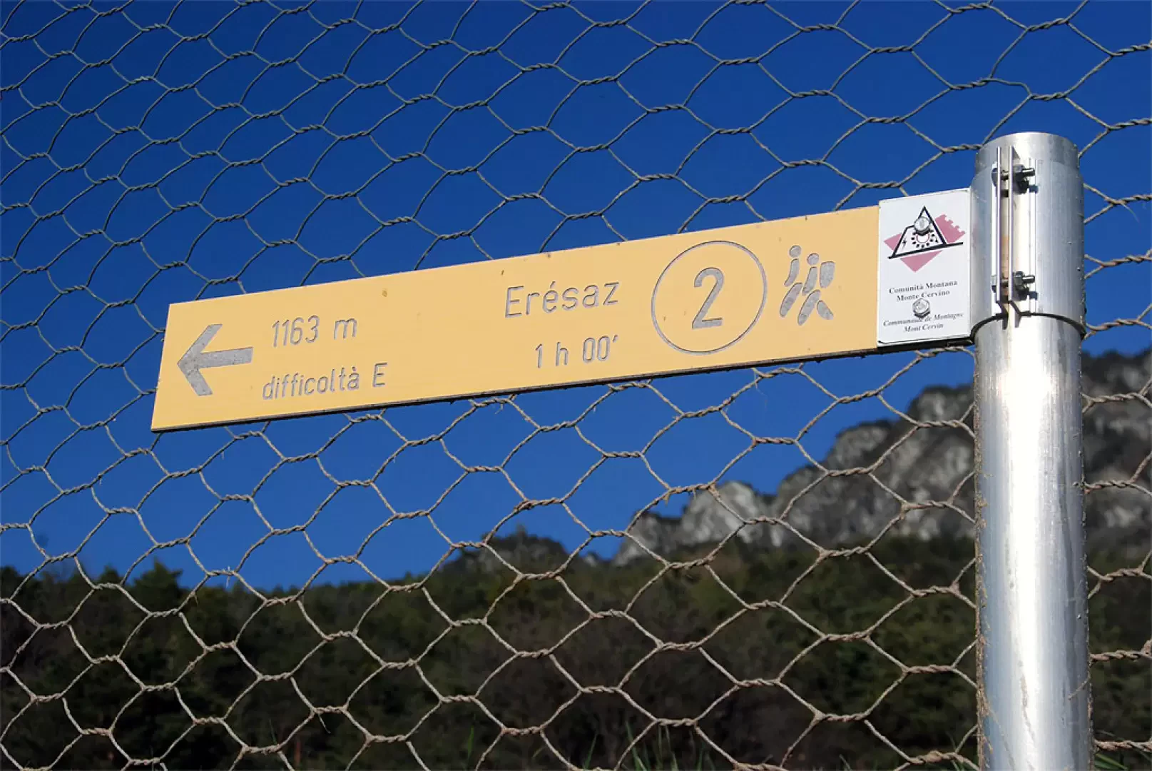
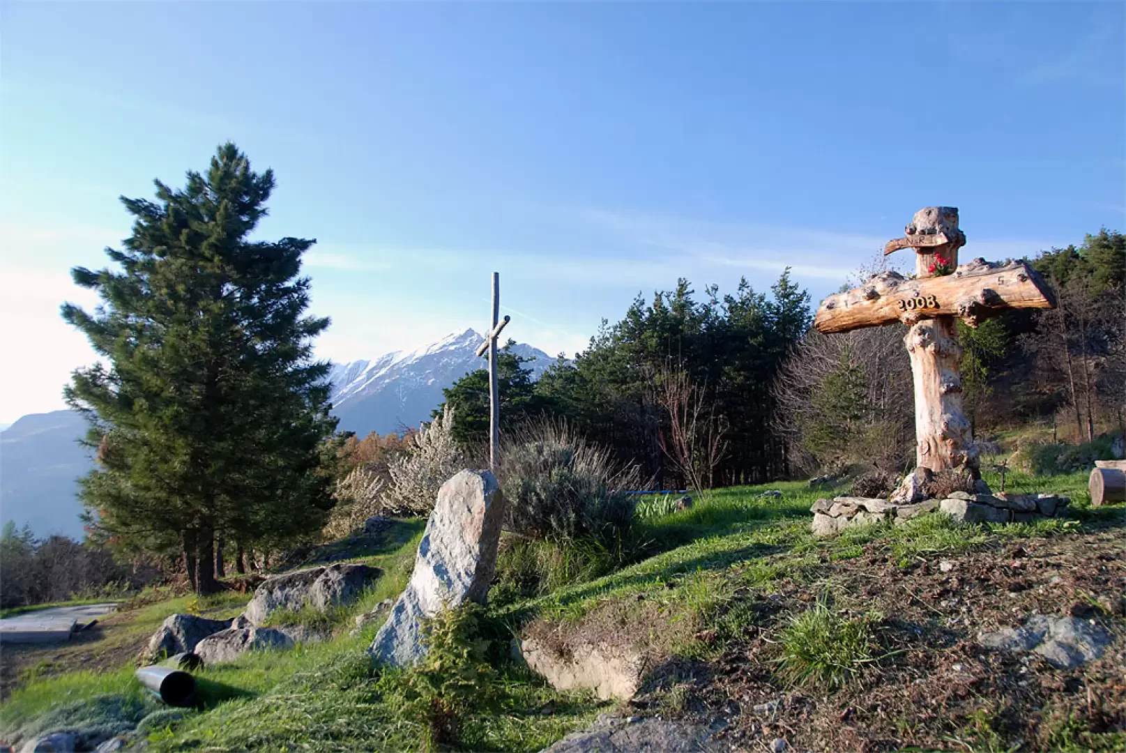
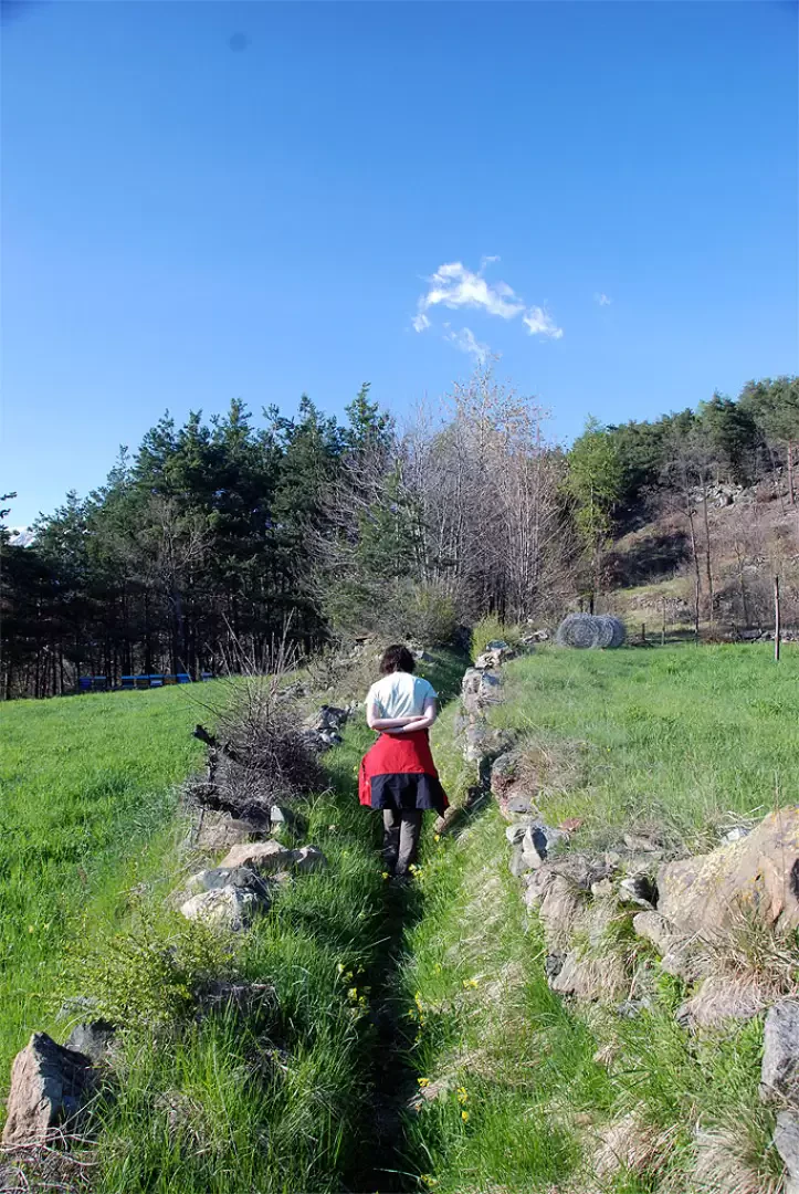
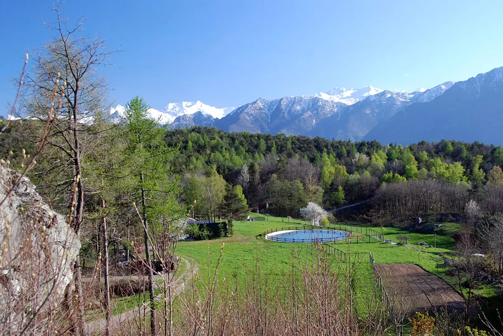
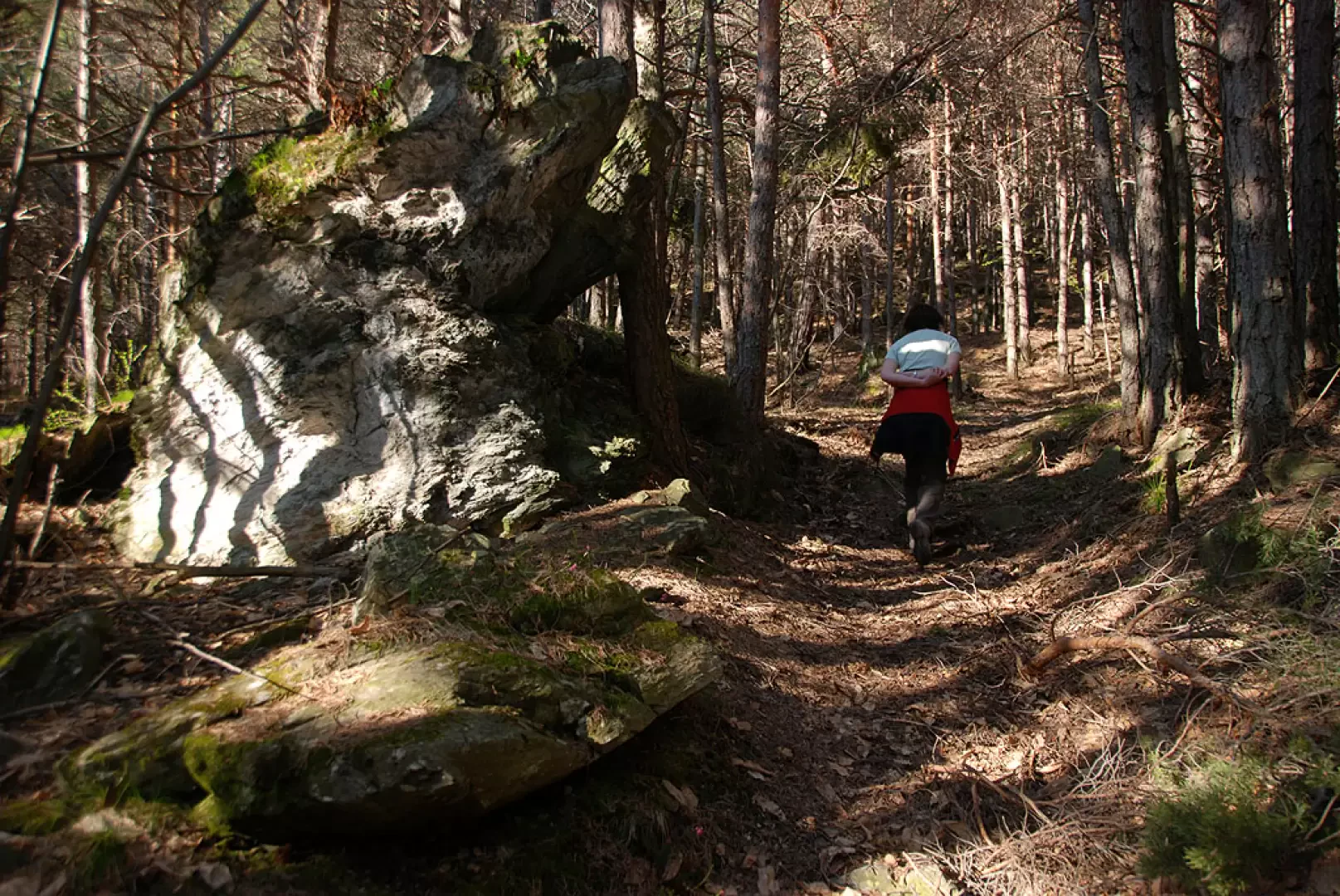
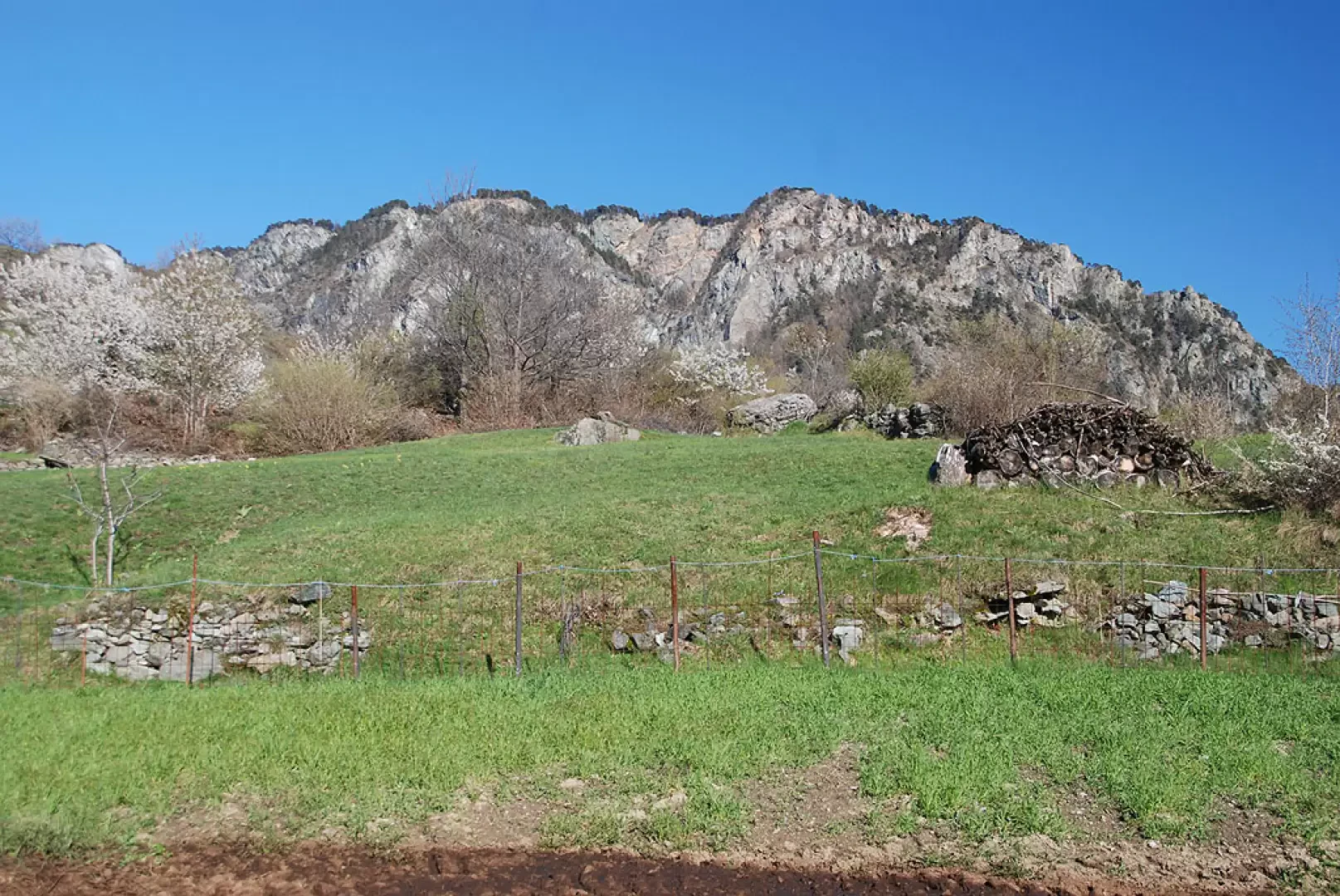
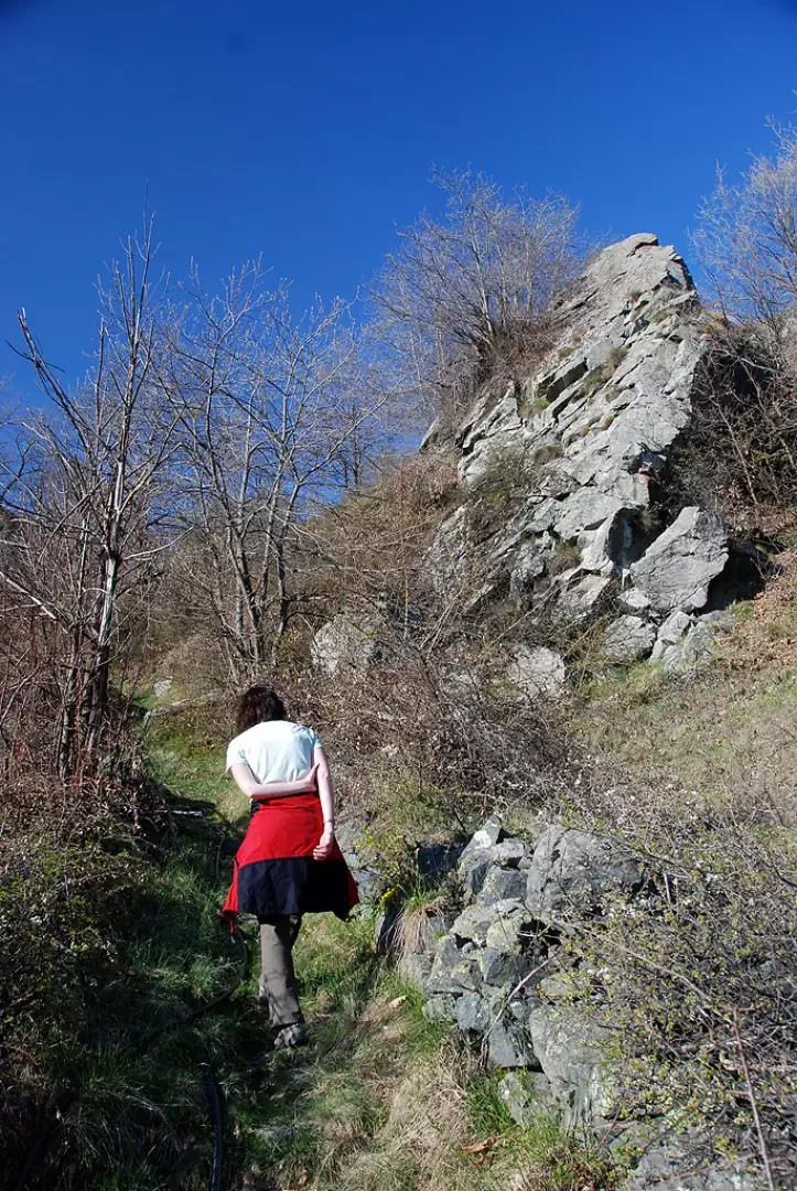
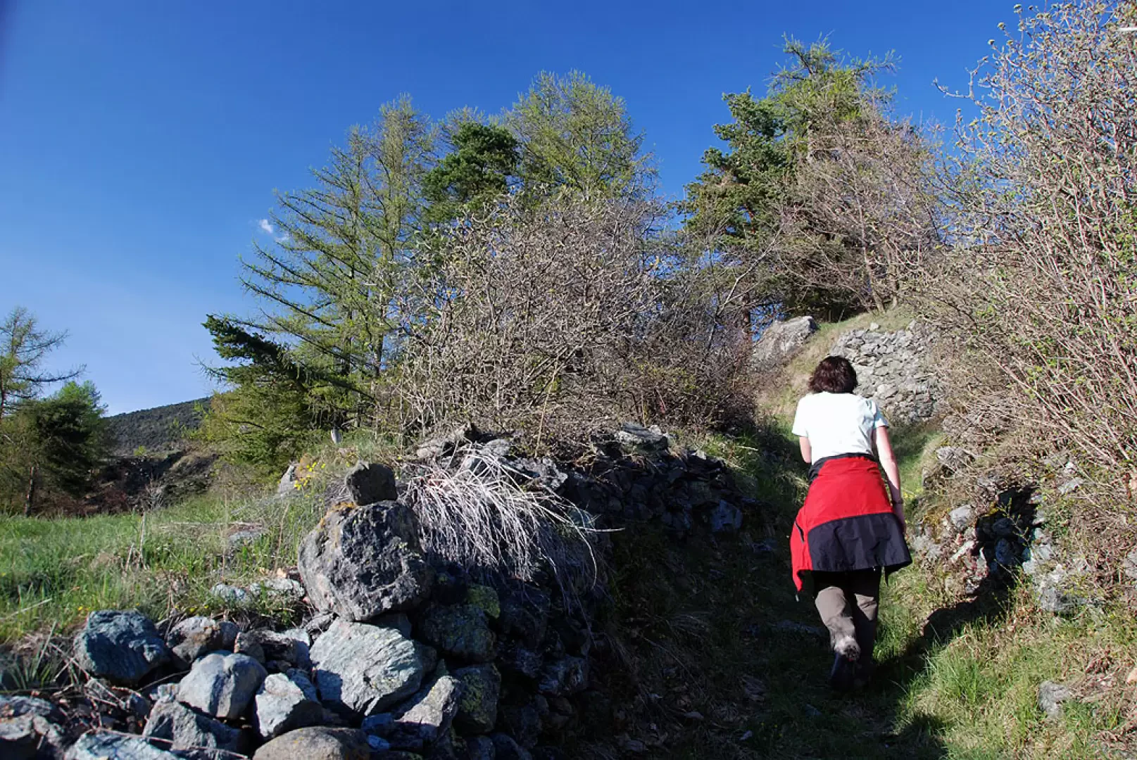
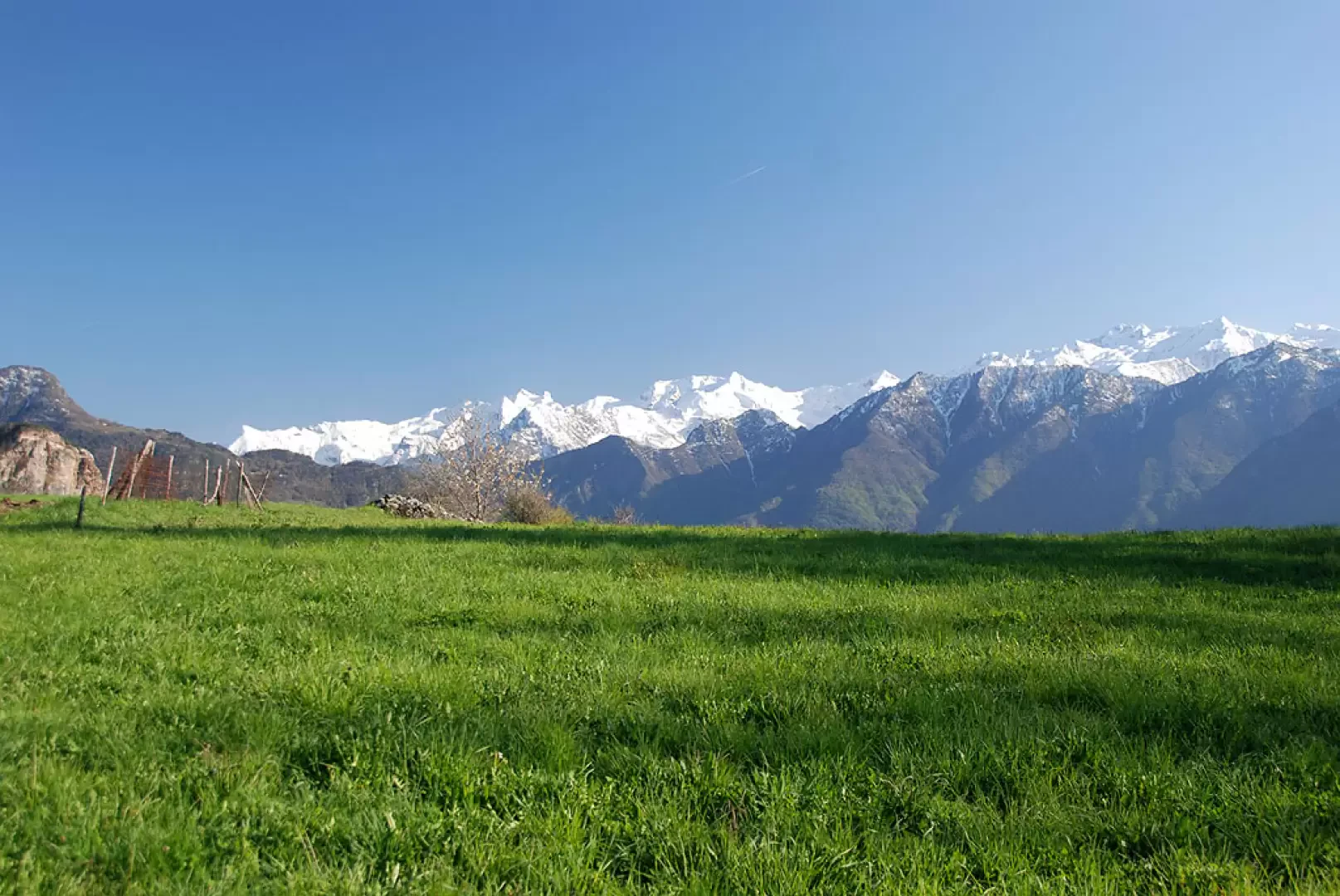
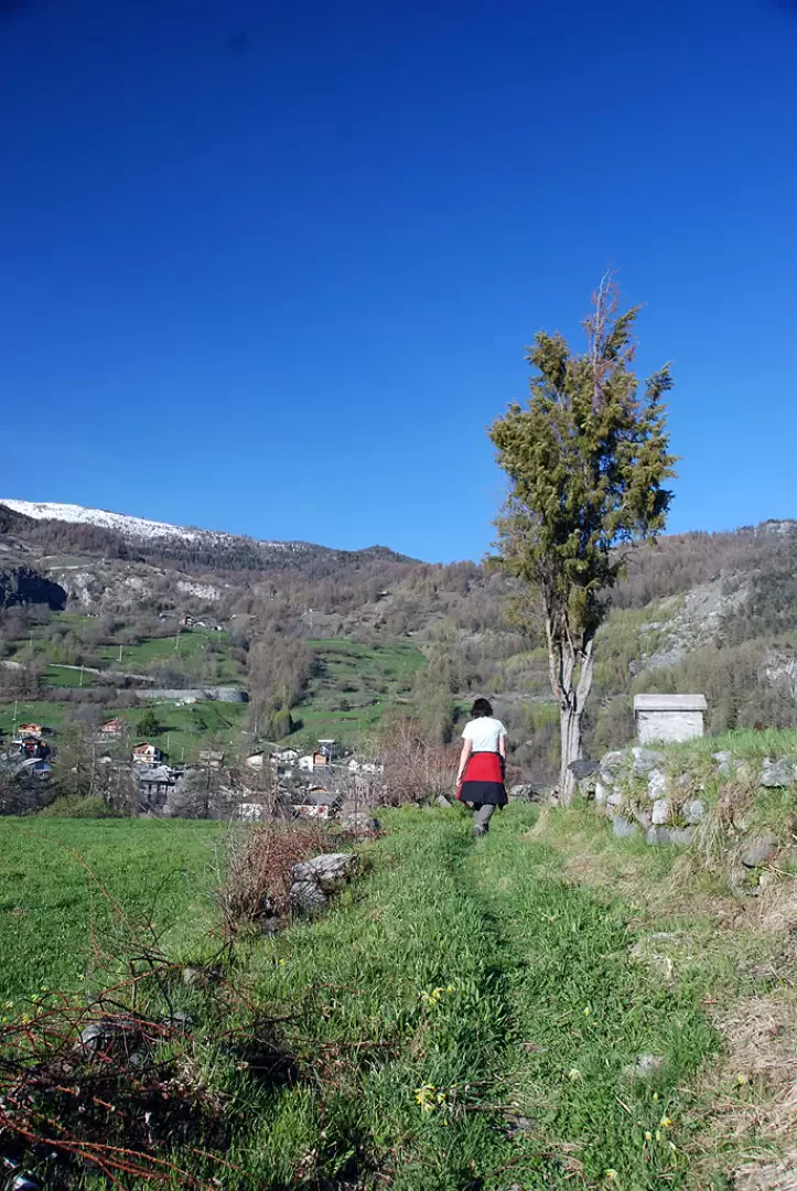
At Champeille da Piana, there are two wooden crosses and the start of the path (2) marked by a signpost. Take the path near a votive shrine and follow it northwards, quickly entering the forest. With a few turns, the mule track allows the hiker to gain height in the wood, which allows a glimpse, just below, of the broad plateau of Champeille da Piana. Proceed slightly uphill through the forest, always along the beautiful mule track; once past the forest belt, you reach the first terraces of Erésaz. Cross a small valley and join the pastures: leaving the forest, interesting views open up over the central valley and the lower valley. You reach an agricultural track, cross it, and continue until reaching a hump with a votive shrine, from where you can already see Erésaz. Descend briefly until reaching a new track, cross it and finally reach the first villages of Erésaz (1190m, 1h00').
Galleria fotografica