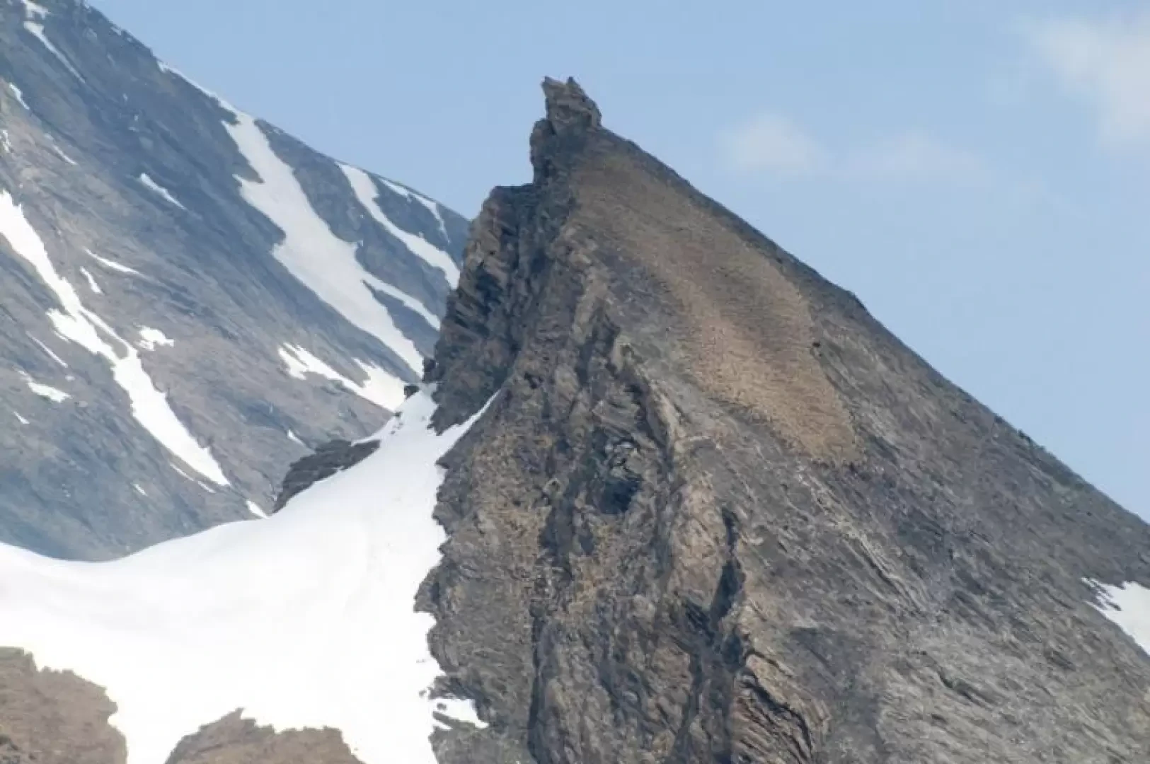
Dent des Ansermins, from Glassier

Edited by:
Benedetto Lorusso
Updated at: 26/08/2025
Access
Lasciare l'autostrada alla barriera di Aosta Est, svoltare a destra e imboccare la superstrada , da seguire per 8,4 chilometri. All’uscita della galleria, dopo 130 metri, svoltare leggermente a destra per imboccare la strada regionale per Bionaz. Alla rotonda, prendere la seconda uscita e proseguire lungo la regionale, superando i villaggi di Signayes e Rhins, e l’abitato di Valpelline. Dopo 16,9 chilometri, svoltare a sinistra e prendere la strada regionale per Ollomont. Risalire la regionale attraversando il capoluogo di Ollomont e i villaggi di Voueces e Vaud, fino a giungere, dopo 23,8 chilometri, a Glassier. Poco prima del villaggio, sulla sinistra, si trova un parcheggio 🅿️ gratuito con una stazione di ricarica per veicoli elettrici.
Distanza e tempo di percorrenza
🕒 Tempo di percorrenza: 29 minuti
📏 Distanza: 23,8 km
Navigazione GPS
📍 Come arrivare con Google Maps
📍 Come arrivare con Apple Maps
Nota importante
Le indicazioni fornite sono state verificate alla data del rilievo dell’itinerario. Prima della partenza, è consigliabile verificare eventuali variazioni del percorso. Per ottenere indicazioni aggiornate e dettagliate, si consiglia l’uso di Google Maps o Apple Maps.
Introduction
The Dent des Ansermins, a small elevation of the SE ridge of the Tete de Balme, corresponds to the altitude of 2833m of the same, often marked without a name on maps. Sometimes confused with what abbe Henry called "Punta del Touring", to which the altitude of 2657m is attributed, probably one of the green mamelons of the same ridge. See Buscaini, Alpi pennine, Vol.1 and the map "Gran San Bernardo - Ollomont" from "L'Escursionista Editore".
Description
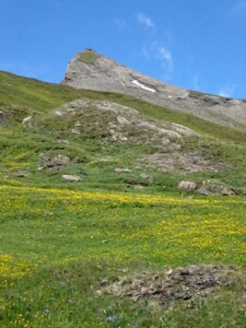
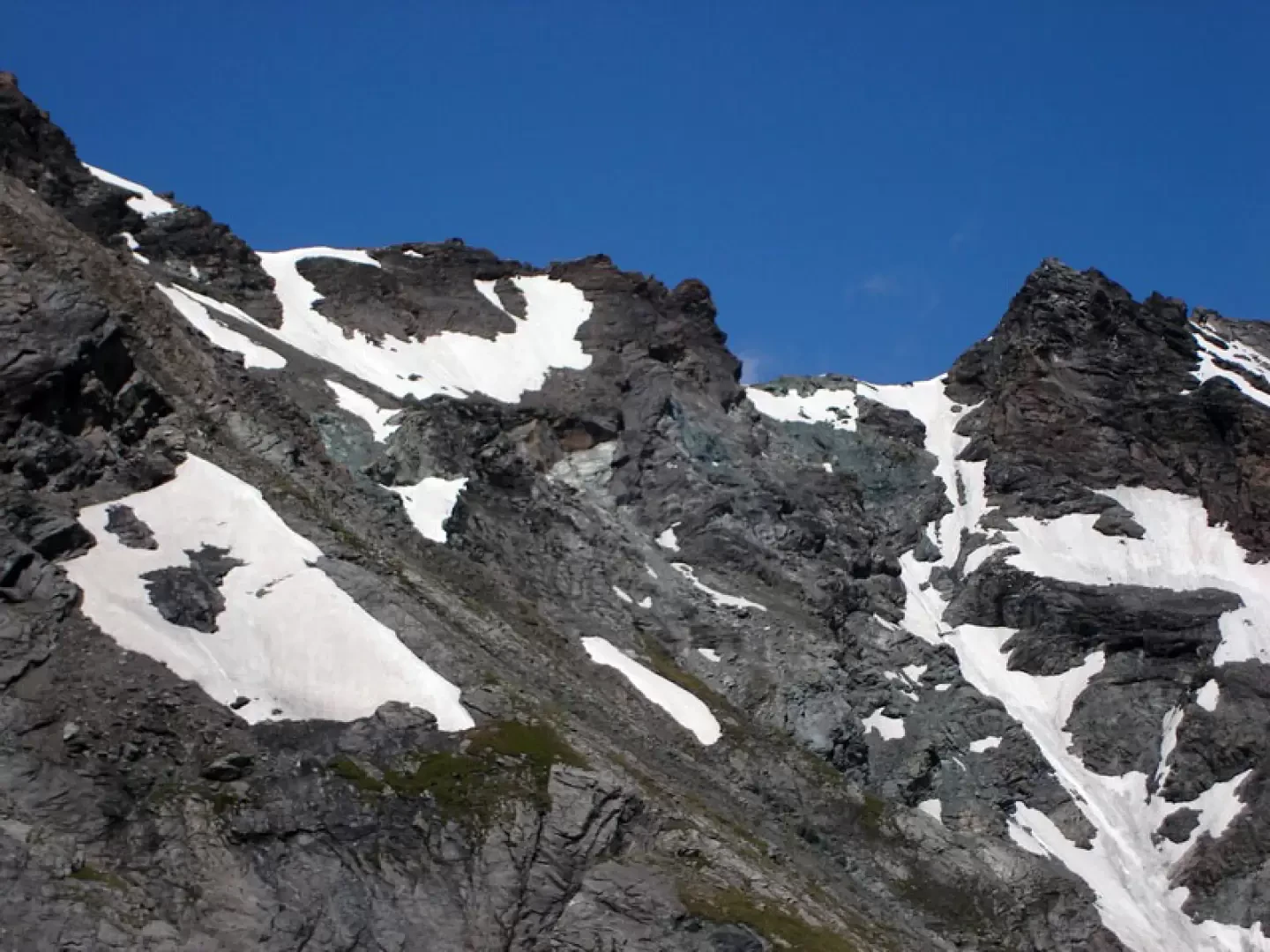
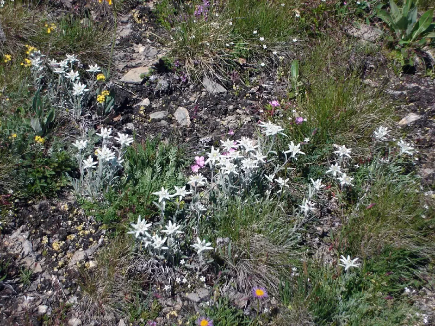
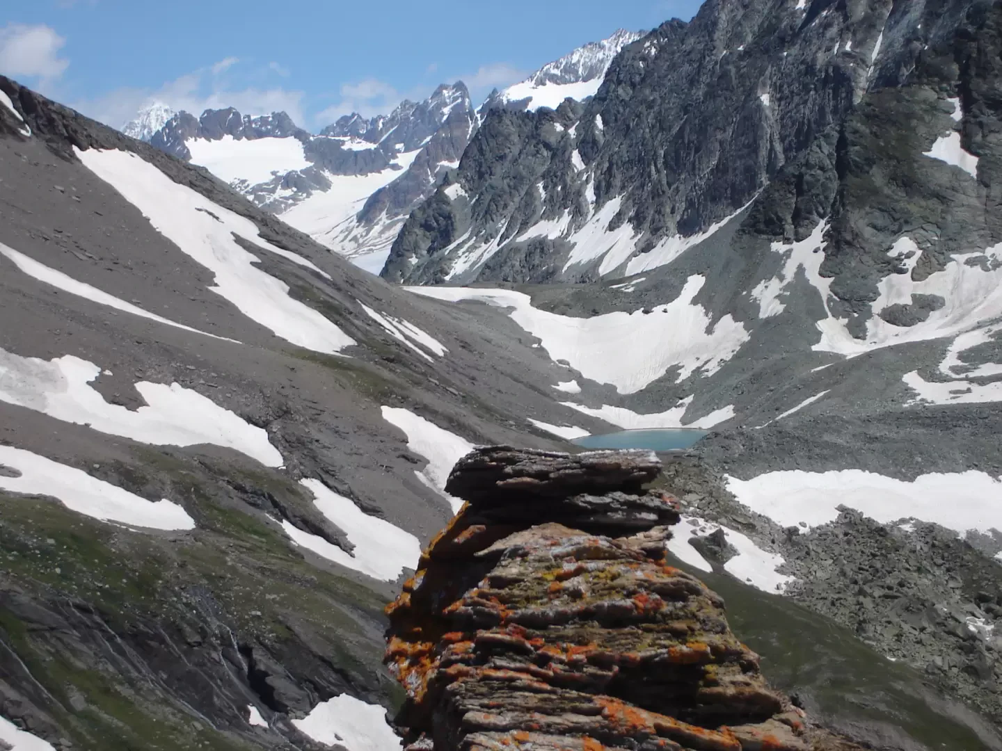
From Glassier, follow the road to the col Fenêtre almost to the alpe Thoules, where you attack the ridge, at first grassy, then higher up scree and a little more airy, but always quiet. Having passed several elevations (among which presumably the Touring peak), you arrive at a saddle from which you can easily descend to the left to Alpe Filon (useful for the return to Glassier) and to the right towards Col Fenêtre. The last hundred metres, steep and scree-covered, lead with a little effort to the 'hat' of the summit. Given its position, it is an exceptional vantage point over the mountains of Ollomont, dominated to the south-east by the impressive Morion chain.
Galleria fotografica