From Domàso to Aurogna

Edited by:
Marco Bonati
Updated at: 04/11/2025
Access
From Como, one reaches Domàso along state road 340 'Regina'. Look for parking near the square of the S. Bartolomeo parish church.
.Introduction
The ancient Strada Regina (travelled since Roman times) connected Como with the routes of the most accessible transalpine passes: Spluga and Maloia. The section of the route taken into consideration follows an outline route - much altered by the modern road system - that has fixed points in the religious buildings scattered along the paths and in the villages. The very recent construction of forest tracks makes the original track difficult to follow in places, but the scarcity of alternatives due to the orography does not create any particular difficulty in orientation.
Description
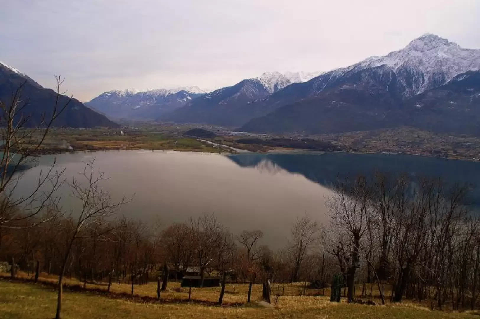
From the square in front of the church of S.Bartolomeo 207 m, follow the tarmac road to the hamlet of Gaggio, until you cross the Livo stream on a beautiful bridge; immediately afterwards, climb up to the left on a steep cobbled road, reaching the oratory of S.Silvestro 225 m. The mule track continues its ascent until it meets a hairpin bend in the provincial road: from here - signposted - it is a few steps to the Madonna della Neve sanctuary 280 m. On the left side of the church, the path enters a tunnel between walls and rocks, going through terraces with vineyards; cutting across the provincial road a few times, you reach the main square of Arbosto 354 m. Take the road that descends alongside a restaurant and, a few dozen metres downhill from a bar, you will see a path on the left between the houses that climbs vertically through the meadows. Alongside a small frescoed chapel, continue through the woods until reaching a rather conspicuous new residential building; a second small chapel (dated 1515 and in a disastrous condition) precedes a long traverse between woods and meadows that leads to the church of S. Sebastiano at Caino 525 m. One crosses the old village streets without an obligatory path, however, coming together - on the opposite side - in a vast meadow esplanade. One chooses the right-hand path, steeply descending through the chestnut grove, until it gets lost among thorny brushwood: here, however, one is already in sight of a forest track that runs a few dozen metres further down the valley. You reach it and follow it to the left until it ends: continue along a nice path that remains more or less at altitude until the narrow rocky crossing of a stream with waterfalls (Valle di Vercana). On the other side, you will soon reach the Aurogna meadows 420 m. For those who do not wish to repeat the itinerary in the opposite direction, the only possible alternative is to descend to reach the "Regina" state road and follow it southwards for a couple of kilometres (there is no specific footpath). In this case, cross Aurogna as far as no. 4 Via Regina, where a path begins that descends into the meadows: a small chapel and two milestones indicate the direction to the parish church of Trezzone; take the asphalt road again at a hairpin bend and, at the height of a dilapidated house, you will spot the old mule track that underpasses the provincial road. A very steep descent on cobblestones, amidst groves of mimosa trees, takes you to the main road.
Galleria fotografica