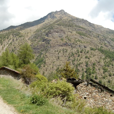
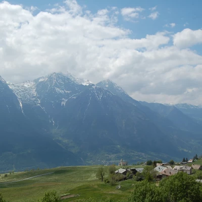
Croix de Fana, from Fonteil with path 2
Access
From the motorway exit at Nus, turn left onto the main road and follow it for 5.5 kilometres to Villefranche de Quart where, at the roundabout, take the second exit following the signs for Povil. Go up the small road for 1.7 kilometres until you join, turning right, the road for Ville-sur-Nus. Follow the regional road for 10 kilometres passing through the villages of Chantignan, Argon, Vignil, Ville-sur-Nus, Porsan, Avisod until you reach Fonteil anticipated by a large free car park 🅿️.
[0h28'] - [18.1km]
How to get there with GMAPS
How to get there with Apple Maps
The information provided here has been verified as of the date of the route survey. Before setting off, you should ensure that no substantial changes have occurred on the route to the starting point. We therefore recommend the use of the satellite navigation apps provided by Google or Apple for up-to-date and detailed directions.
Introduction
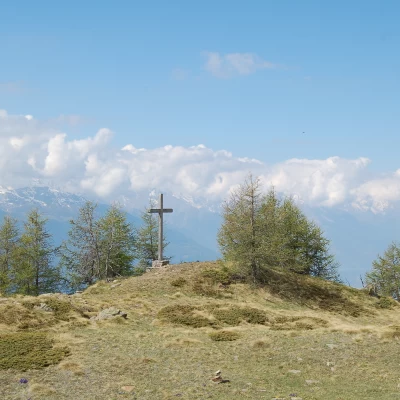
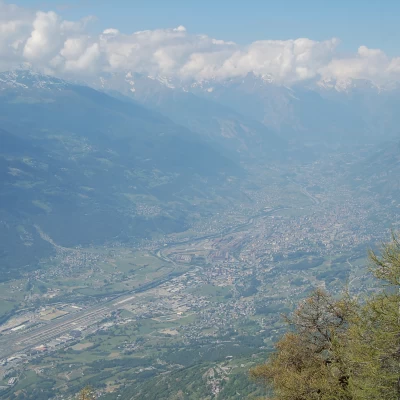
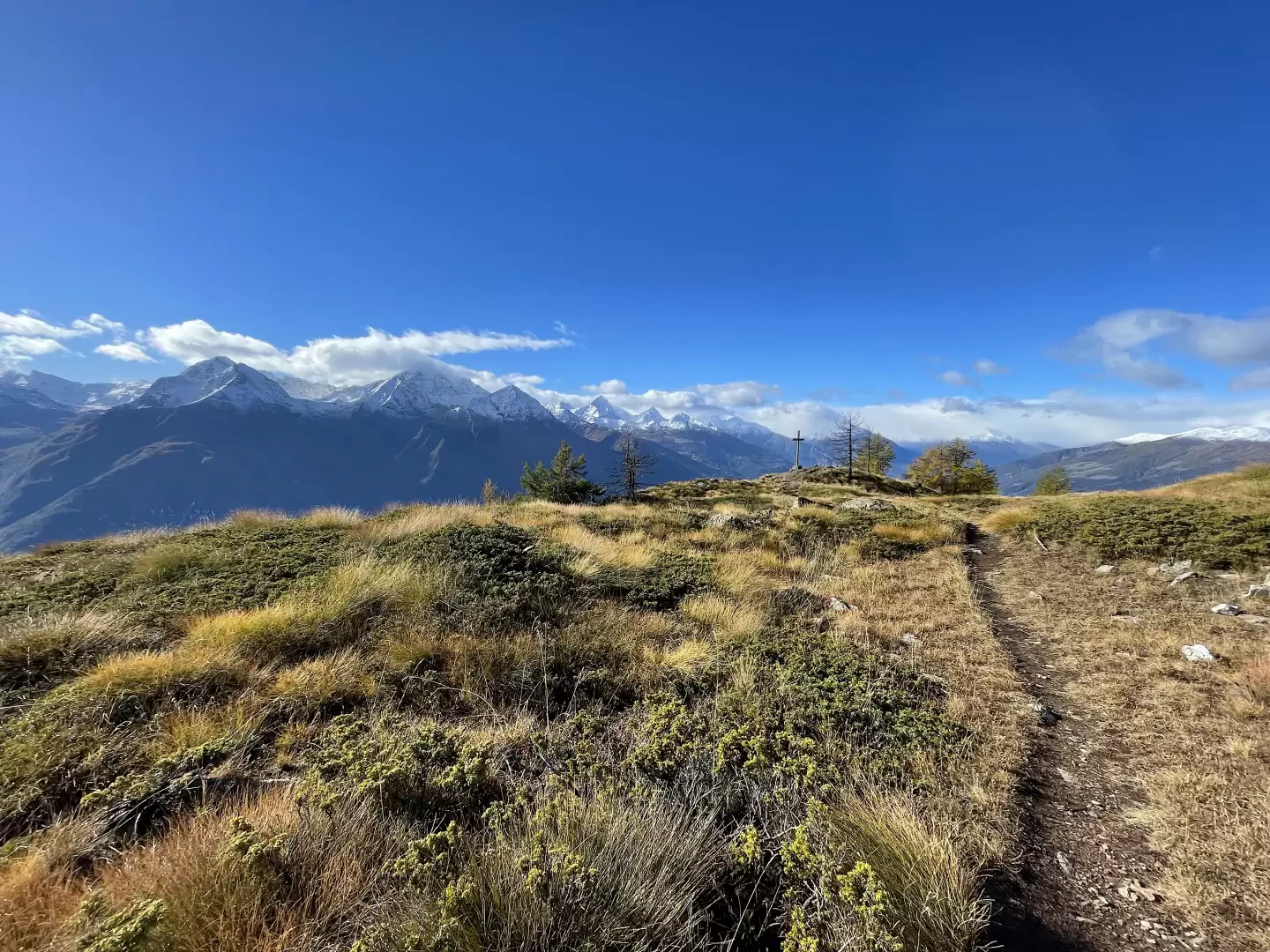
The Croix de Fana is the southernmost peak of the long mountain ridge descending from the Becs de Fana. It is easily reached in both summer and winter and its prominence makes it extremely panoramic. In fact, from the summit, one can appreciate a beautiful view of Aosta below and all the peaks that surround it. The summit is recognisable by its wooden cross, which gives its name to the toponym.
The itinerary proposed here is the most direct one, starting from Fonteil.
Description
0h00' 0.00km From the car park, continue along the tarmac road into Fonteil. After passing a fountain on the right 💧 you leave the last of the houses and come across a single signpost indicating the path for the Croce di Fana.
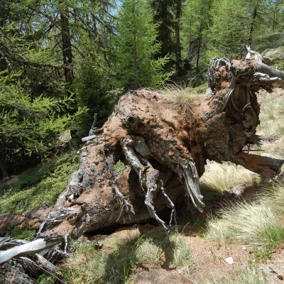
0h05' 0.13km Turn left and continue along the path that briefly climbs up the meadows and joins an agricultural track. Follow the track for about a hundred metres and then take a small, not very evident path to the right that cuts a hairpin bend in the track. Back on the track, one enters the Planette, a beautiful clearing that is bypassed by the track skirting the forest with a wide bend to the right. The track enters the forest, becomes a path and definitely increases in gradient. Without any particular problems in finding the path, go up the beautiful larch wood (Larix decidua) until you reach, at an altitude of 1818m, the intersection with the track coming from Comba Dèche.
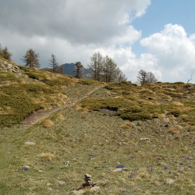
1h05' 1.50km Go straight on and take a small grassy track that, a little further on, becomes a path that goes up the ridge descending from the summit. At an altitude of around 1900m, the path flattens out briefly and then resumes its ascent through the larch forest. As it gains height, the trail leaves the ridge and turns left to reach a vantage point with a privileged view of Mont Emilius. Continue back into the forest and proceed with a long traverse to the right, at the end of which the path turns left and climbs up through the forest amidst pleasant grassy expanses. The forest slowly slopes down and the path reduces its gradient as it enters the summit meadows. Leaving behind the last larch trees, you reach a grassy hump, beyond which a short descent takes you to the summit cross that gives its name to the Croix de Fana (2212m) 2h15' 2.96km ).
The return is along the same route as the outward journey 2h15' 2.97km .
Riferimenti Bibliografici
- Cervino, Valtournenche e Valle di Saint Barthélemy - Andrea Greci e Federico Rossetti - Idea Montagna, Villa di Teolo PD, 2019
