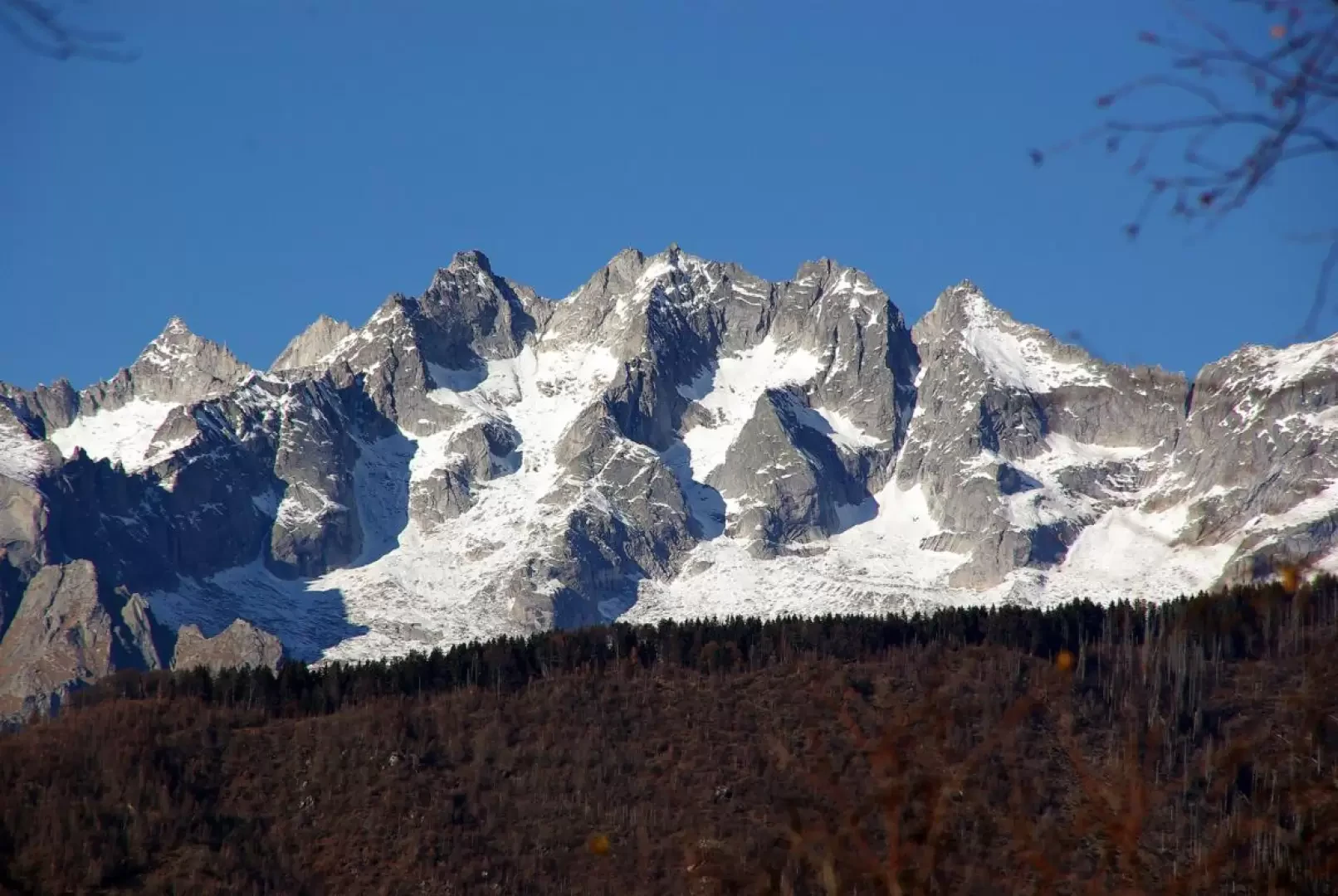
Crap del Mezzodì, from provincial road 11

Edited by:
Marco Bonati
Updated at: 02/08/2024
Access
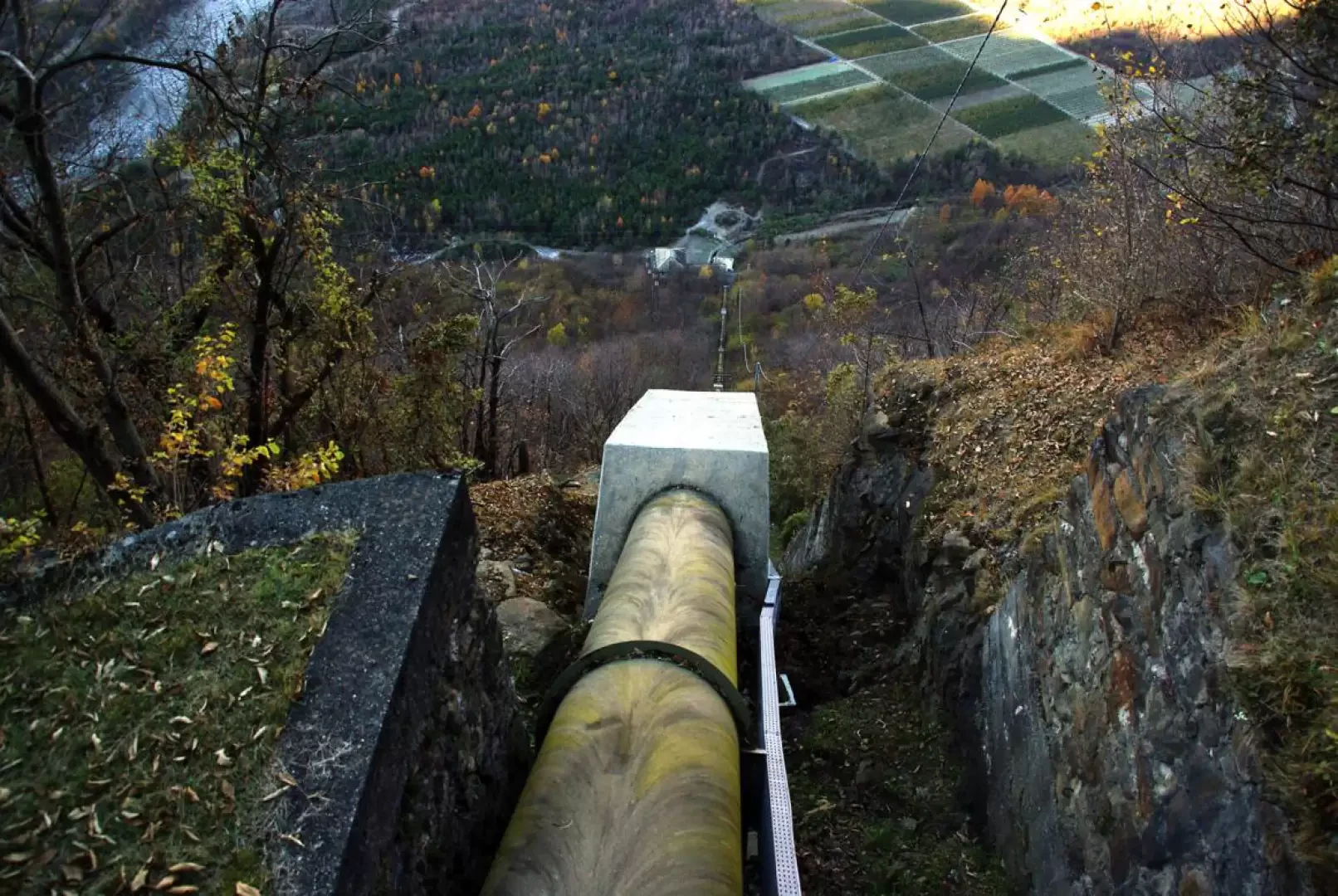
From Milan to Morbegno along the state roads and ; continue in the direction of Sondrio until just beyond the viaduct over the Tartano. At the first crossroads, turn right in the direction of Val Tartano; after a few hundred metres on the provincial road , at the first hairpin bend, leave it and take a small asphalted road that leads to a hydroelectric power station: you can then continue on a dirt track that joins a second one heading upstream. Park at the side of the road without any problems, at a widening.
Introduction
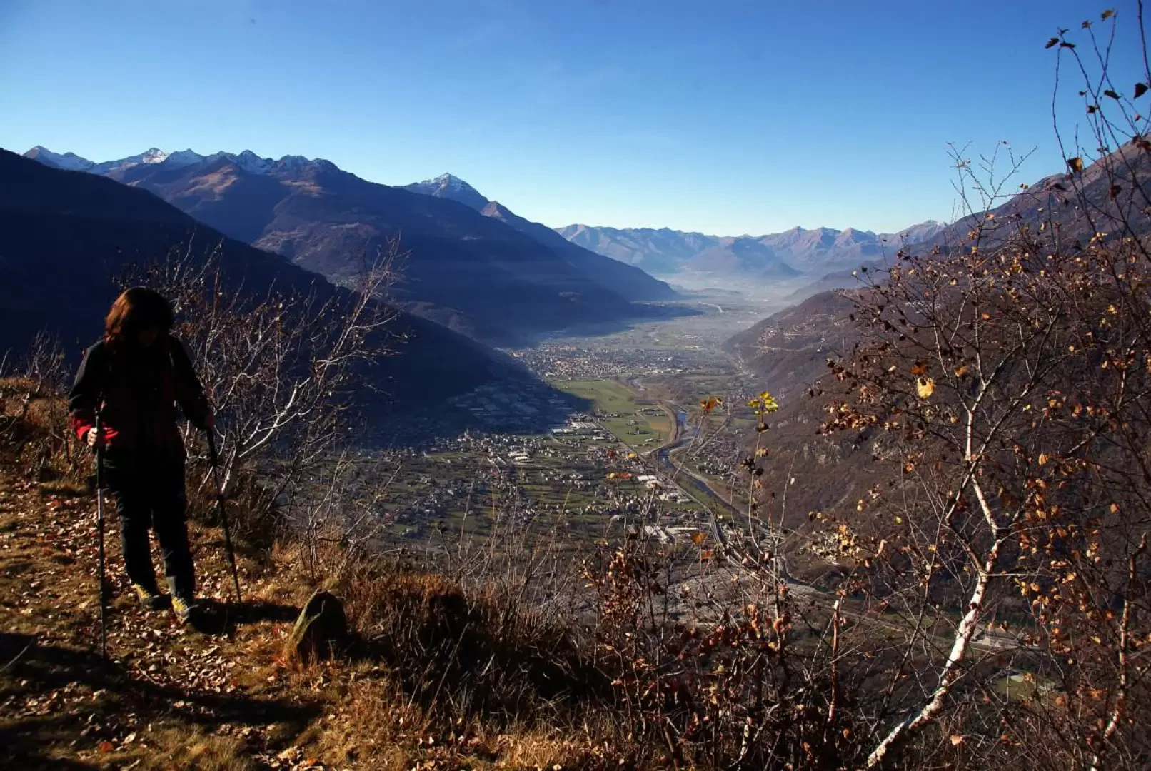
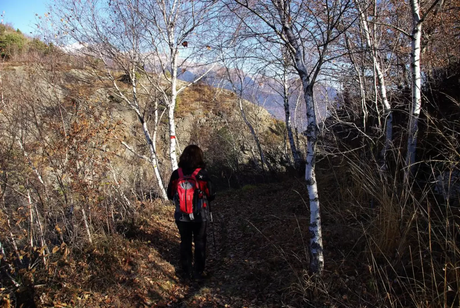
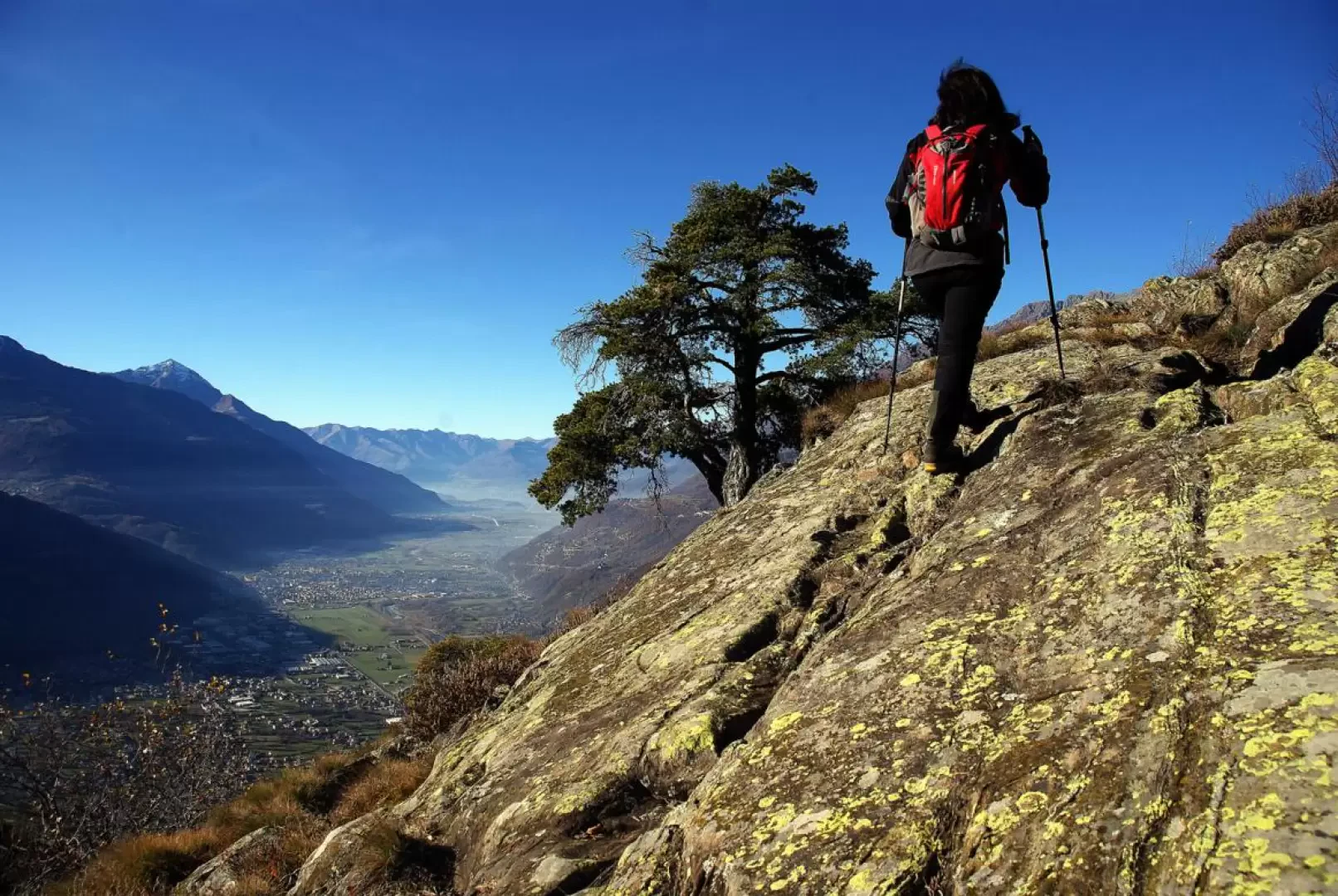
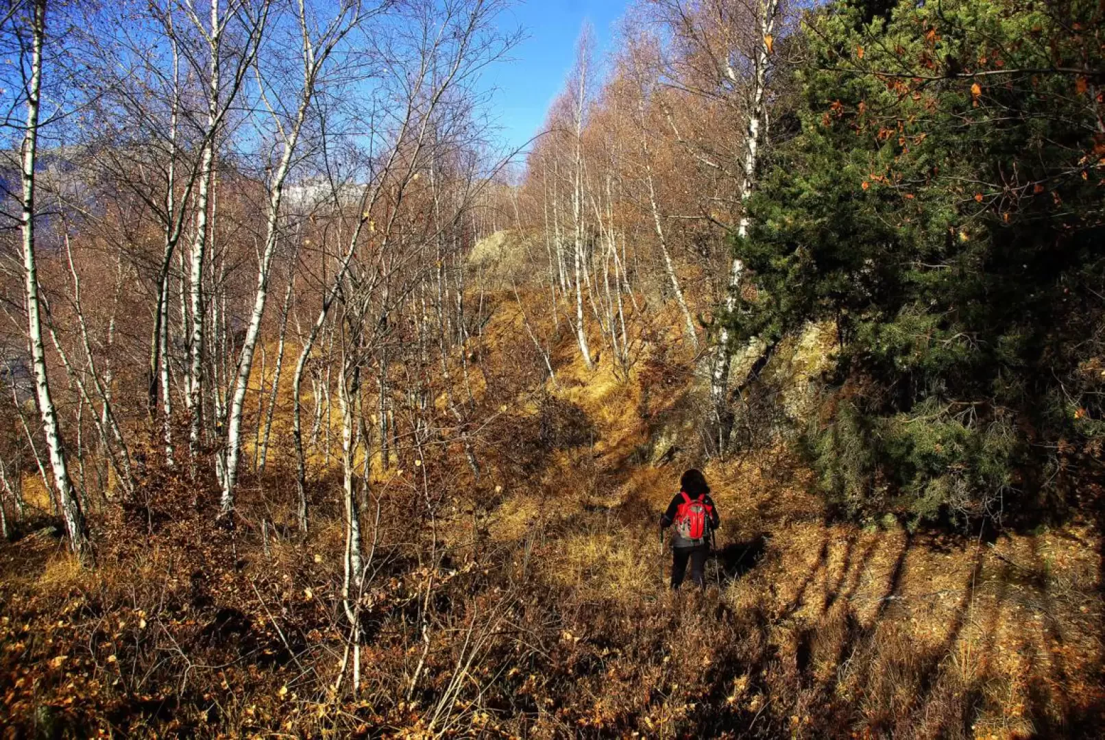
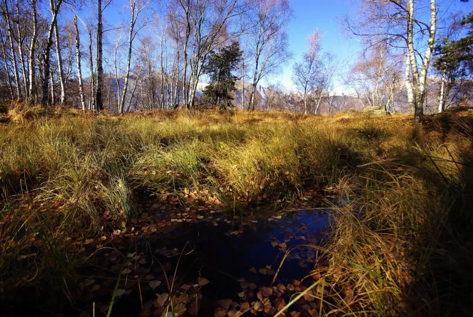
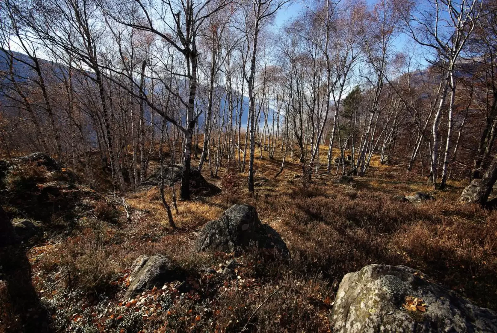
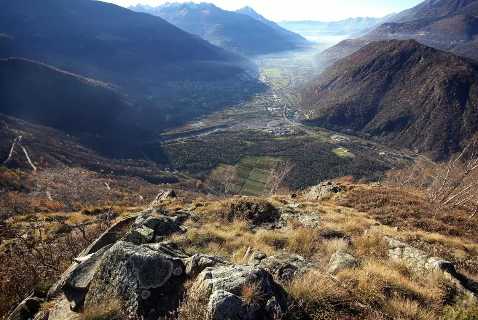
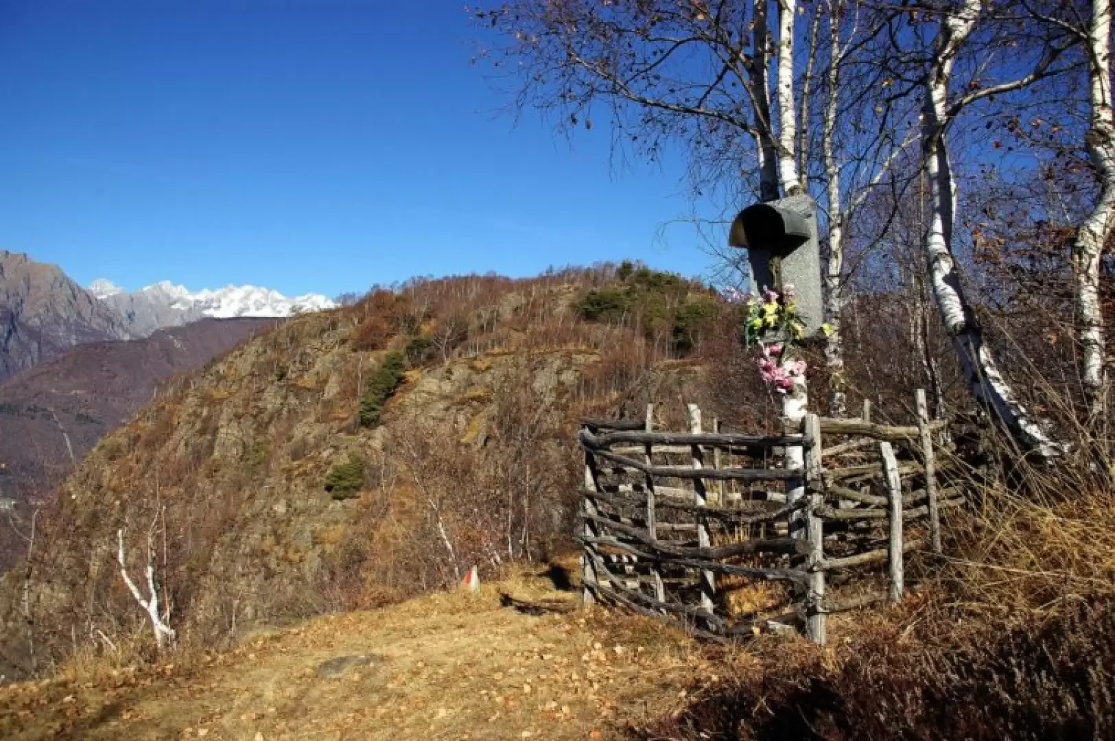
Short half-day excursion that leads up a 'crap' (in Valtellinese dialect, this is a rounded rocky summit, rather isolated from the surrounding walls) located in a unique position as a balcony over the entire lower Valtellina as far as Lake Como. The culminating environment is very characteristic and peculiar: surrounded by a crown of impassable rocky slabs, a luminous birch grove is home to a couple of unexpected small lakes/swamps; tufts of mistletoe nestle among the high branches of the few pines; and the numerous traces suggest that deer frequent the place assiduously. The first part of the ascent - up to Dosso di Sotto - is the remnant of the old communal road from Talamona to Tartano, which remained in use until the early 1950s, when the carriage road was built up the side of our destination.
.Description
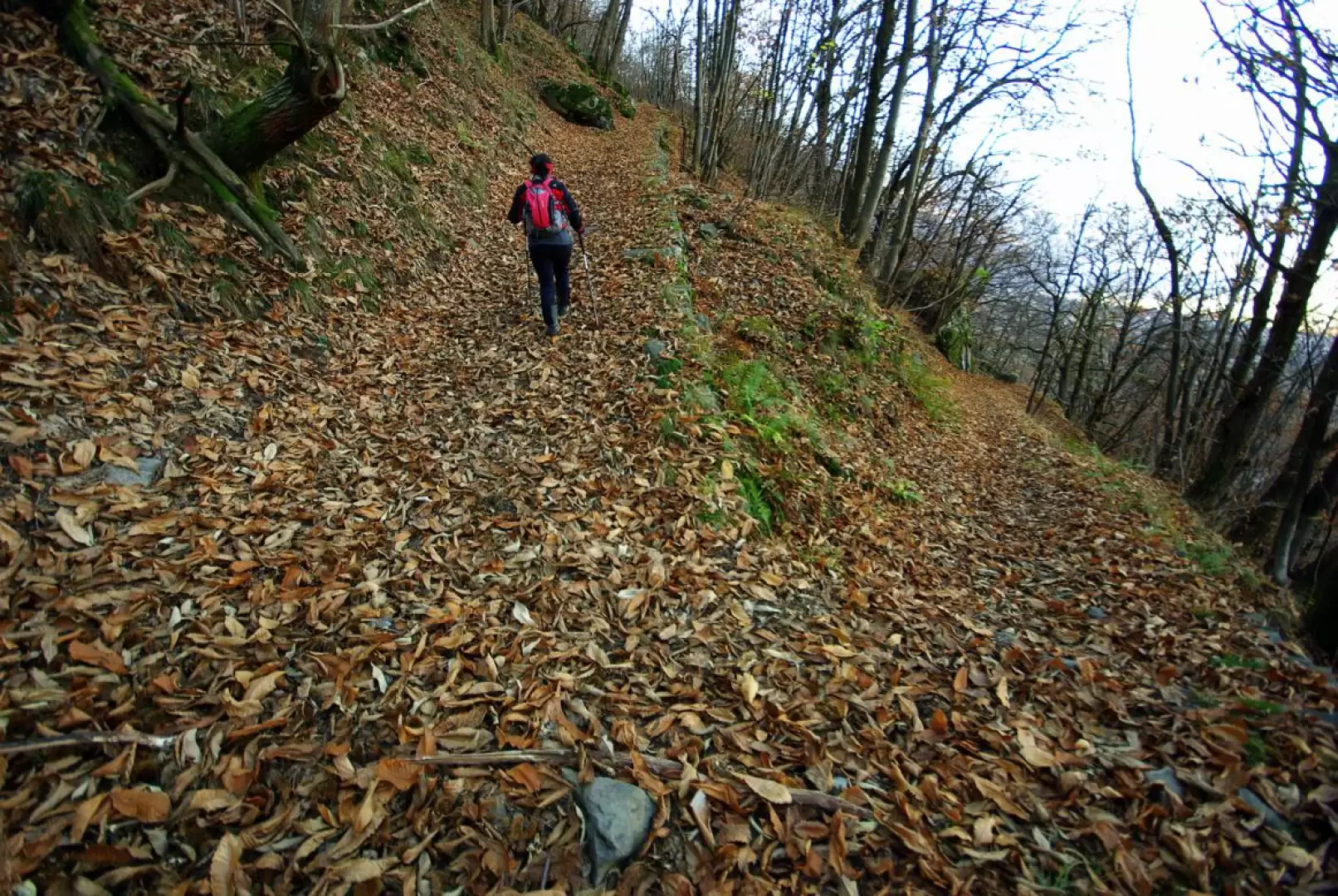
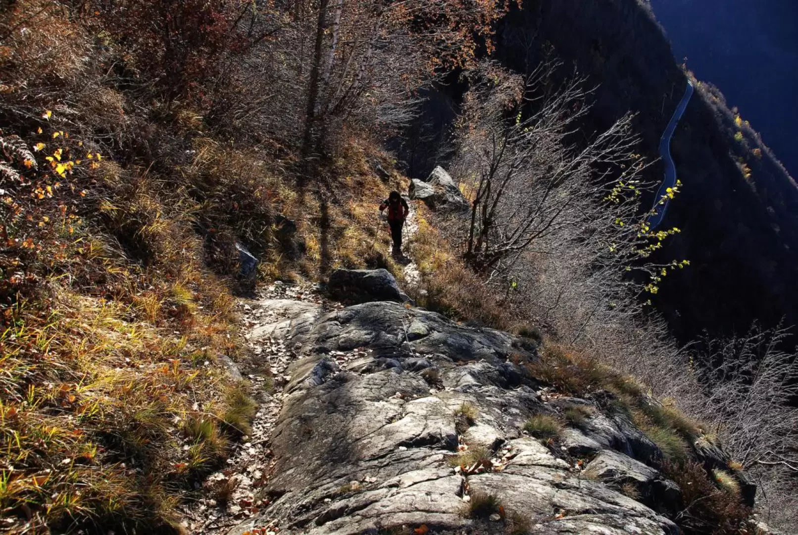
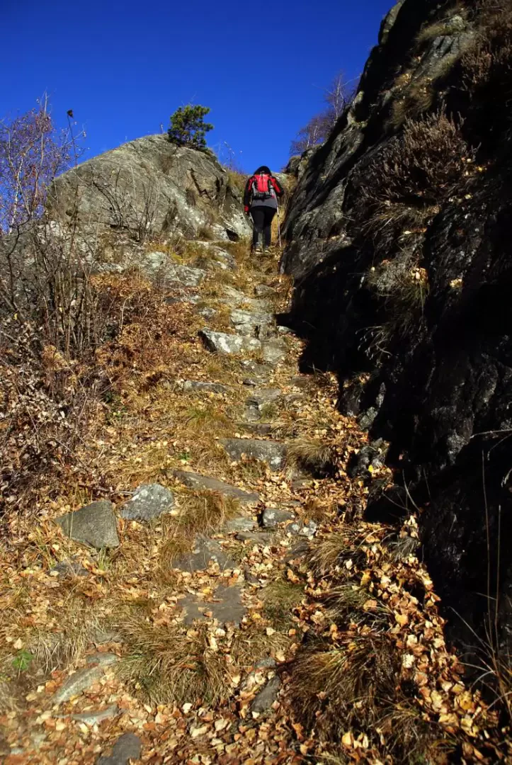
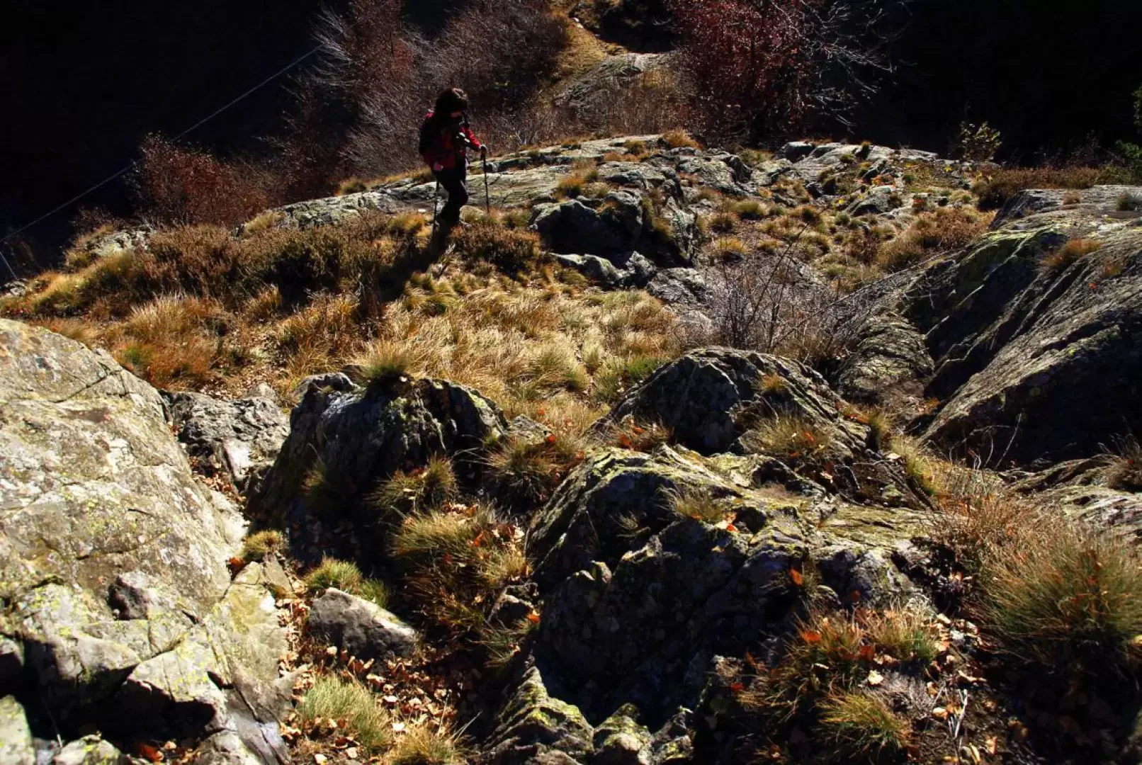
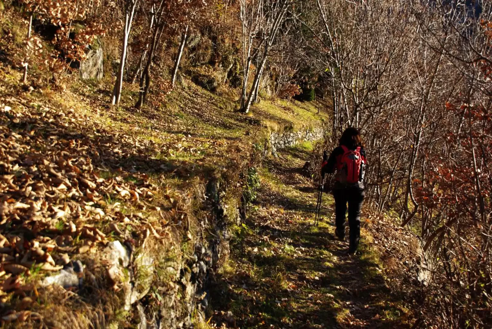
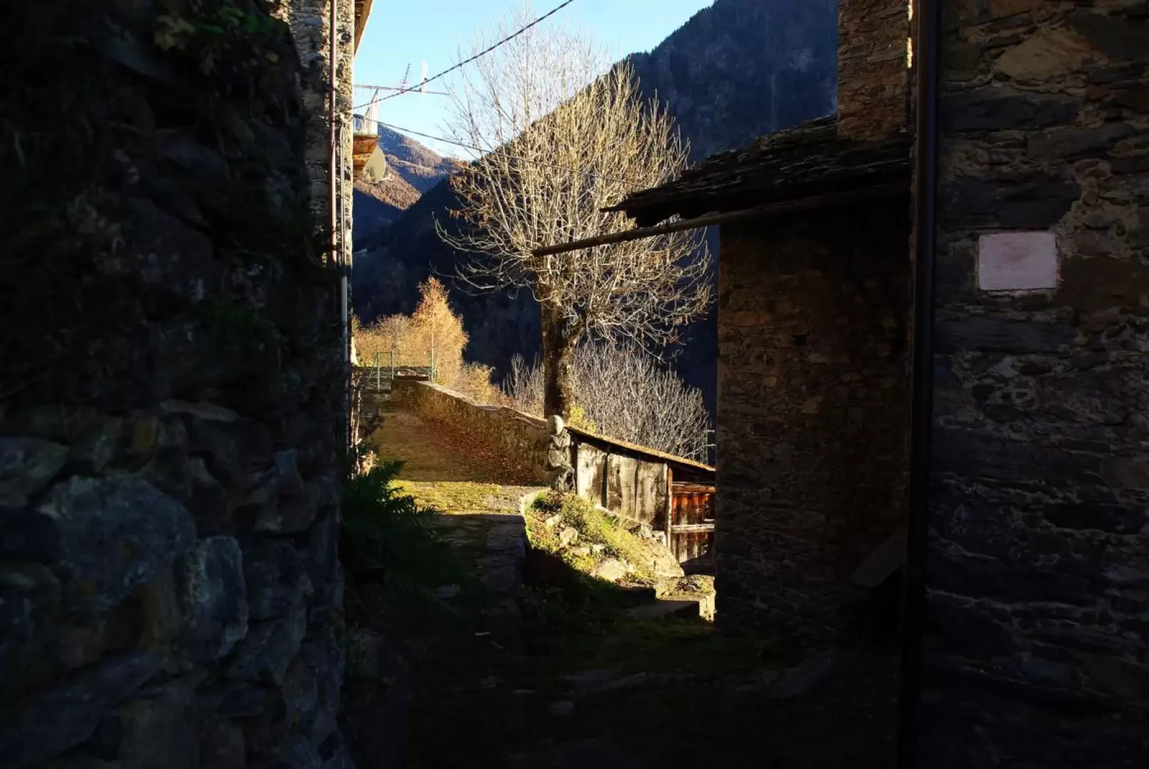
From the car park on the track (about 350 m) we climb upwards until, on the left, approaching the first rocks, we find a good path; the ascent is immediately steep with hairpin bends in the bush: it is a track recently dug out to climb over the detachment niche of a small landslide. Once past it, a traverse to the left takes you to the beautiful cobbled road of the old municipal road: the track - with a regular gradient and wide hairpin bends - climbs through the thick chestnut grove (a group of ruins of three huts with a votive chapel stands next to it) until it reaches the water conduit of the hydroelectric power station. Continuing on a more deteriorated track, you come out into the steep meadows of the Dosso di Sotto district 952 m, and then join the provincial road: follow it downhill for a few hundred metres. On the right, at the post of a bus stop, a steep, exposed and at times rocky little path begins, which then heads - with a level traverse - to a sort of small mouth that connects with the Fabiolo valley and the nearby village of Sostila. [Along this stretch, two forks to the right are ignored: the first will serve for the return and the second leads to the Culmine di Campo]. At the bivouac, leave the path and, turning to the left, tackle some simple rocks that lead to the summit area: a vague trace among the heather in the birch forest meanders between rises and valleys; the true summit point of the Crap del Mezzodì 1031 m is not easily recognisable, but the importance is relative: the beauty of the views and the tranquillity of the stop are sufficient. On the way back, you reach the fork in the road marked along the ascent: continue left through a damp little valley towards a wooded up and down to the terraces of Dosso di Sopra 972 m. From here, along an asphalted road, descend to the provincial road that, in a few dozen metres, leads to Dosso di Sotto. Here you take the mule track back up.
Galleria fotografica