Costiera dei Cech, ring from Dazio
Access
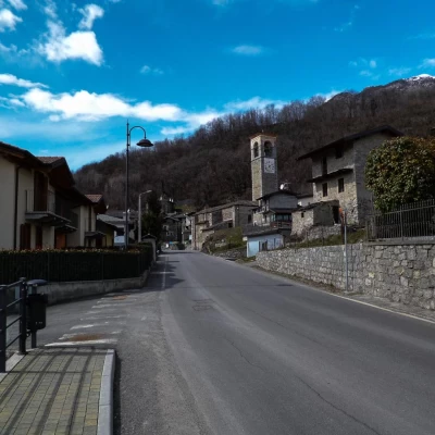
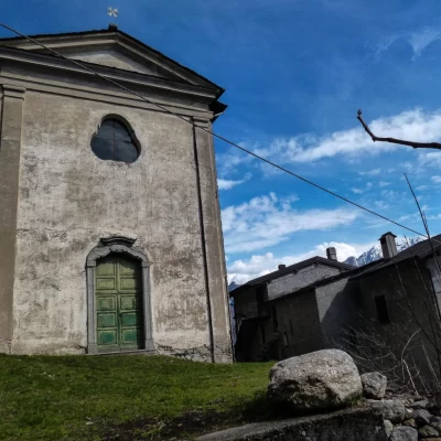
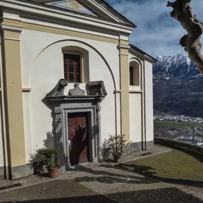
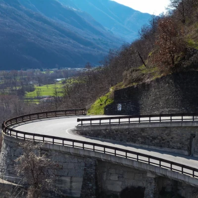
From Milan to Morbegno along state roads 36 and 38; at the roundabout at the entrance to the town, turn left in the direction of "Costiera dei Cech"; after crossing the bridge over the Adda, take Provincial Road 10 in the direction of Dazio. When you reach the small village, park in the large square near the church.
.Introduction
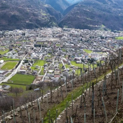
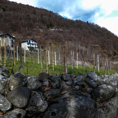
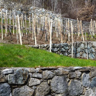
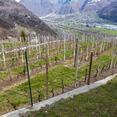
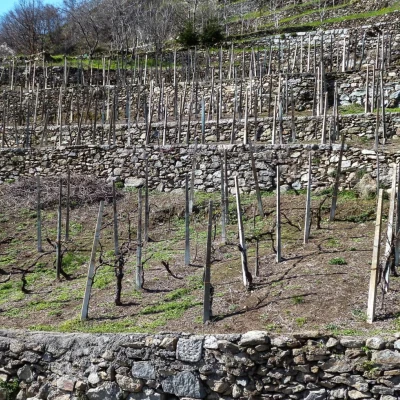
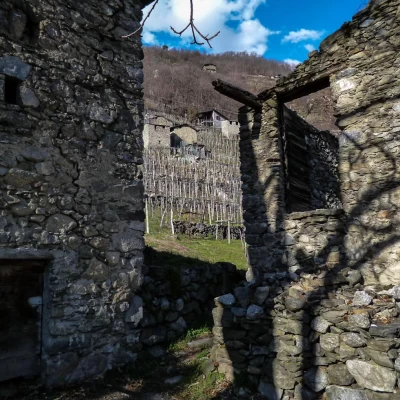
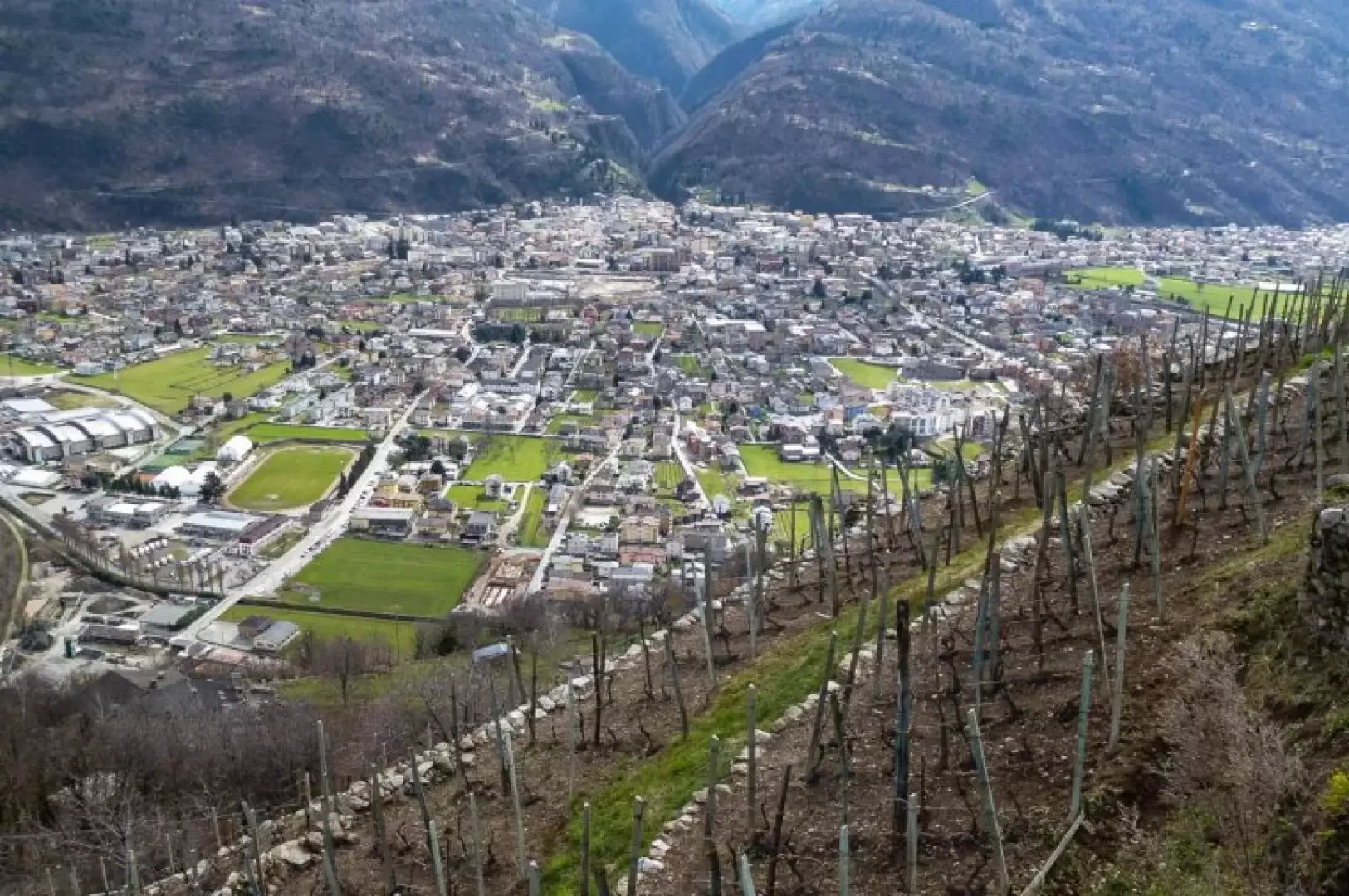
The Costiera dei Cech is that stretch of the Rhaetian Valtellina slope extending between the mouth of the Valchiavenna and the furrow of the Valmasino, comprising the municipalities of Dubino, Cino, Cercino, Traona, Mello, Civo and Dazio. The main characteristic of this area, which makes it particularly populated and cultivated, is its mild climate all year round at low altitudes: villages, hamlets and hamlets are scattered among chestnut groves and terraced vineyards. This itinerary, advisable in the less warm seasons, covers the most significant area of the coastline, allowing you to visit civil and religious buildings of some artistic importance and the works - no less ingenious - related to daily farming activities.
Description
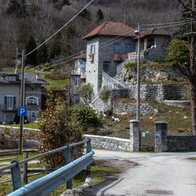
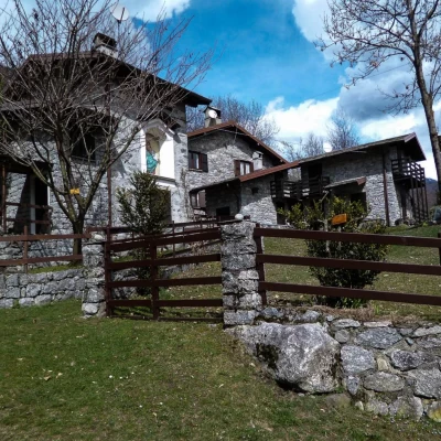
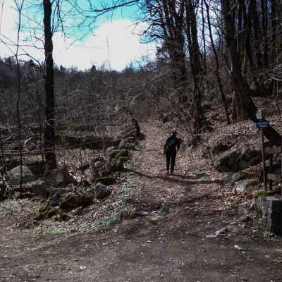
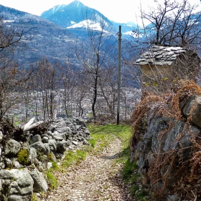
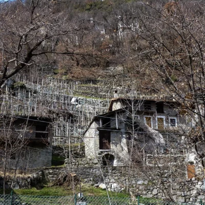
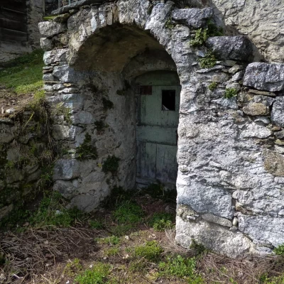
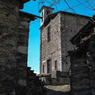
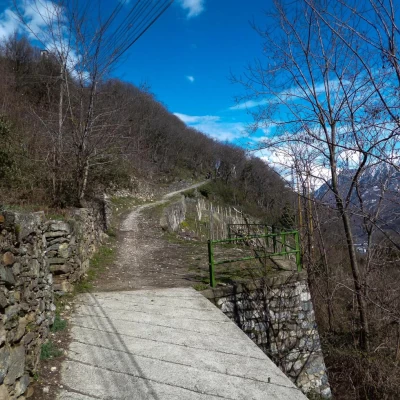
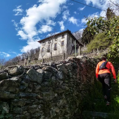
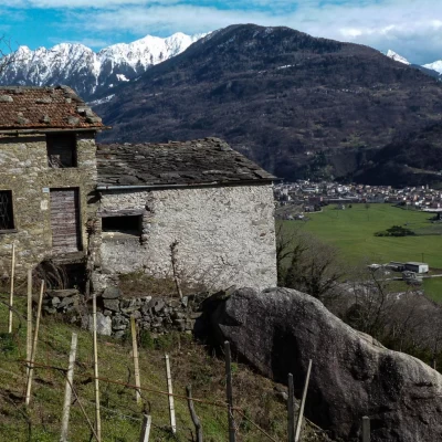
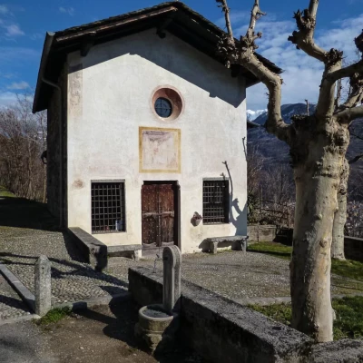
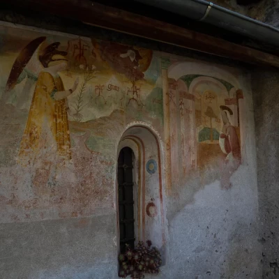
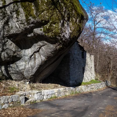
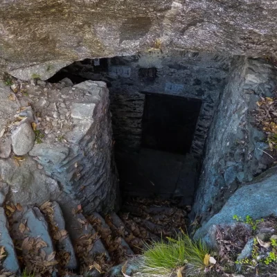
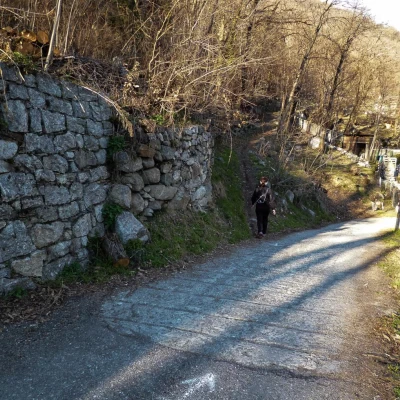
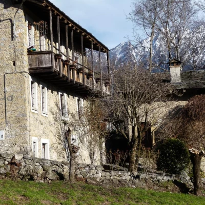
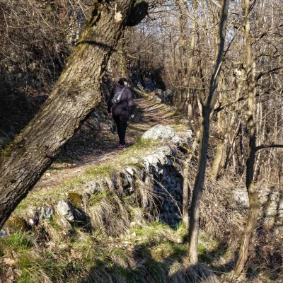
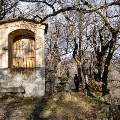
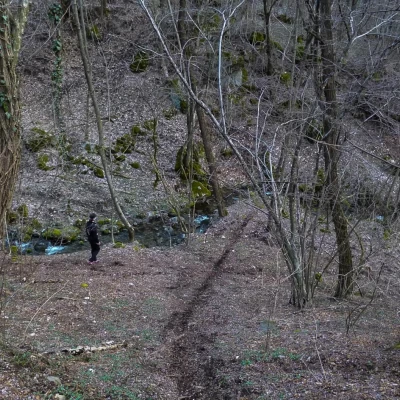
From the Parish Church of San Provino (year 1690) in Dazio 568m, follow Via Vittorio Veneto until you take Via alla Pergola uphill and then Via Castello which, after passing the "Castle" itself, enters the municipality of Civo and becomes a mule track; leaving the restored huts of Ca' Donai on the right, you reach a crossroads of paths: continue straight uphill, ignoring the other tracks on the left (return route). We are now on the old Dazio-Vallate communal road, which climbs up the Rio Rigorsa valley through thick chestnut groves; near a small chapel, we come out onto Provincial Road 10 as we leave the few houses of Vallate 697m. Continue to the left on the asphalted road and in a few hundred metres you reach the hamlet of Serone 719m (oratory of San Rocco from 1589); on the outer side of the wide hairpin bend that forms the village square, continue in the direction of Civo: the carriageway, in view of the ascent to Civo, has an interruption of the protections downstream, in correspondence of the old mule track: you descend on a nice cobbled road with hairpin bends through chestnut groves and small clusters of mountain huts (Prà de Güda locality) with a few vineyards; intersecting the tarmac road several times, you reach the hillock with the church of San Biagio alle Vigne (17th century) 550m above the village of Santa Croce, preceded by wide vineyard terraces. The mule-track descends to Acquamarcia (near Marsellenico) meeting the Selvapiana-S.Croce carriageway: continuing to the right in a short time you reach Santa Croce 447m; at the Parish Church (17th century) the mule-track becomes cemented and - with short hairpin bends between the narrow dwellings - descends to reach Morbegno-Dazio Provincial Road 10. With no alternative, follow it to the right as far as the first wide hairpin bend, where a small path runs along the lower terraces close to the Adda. A few short ups and downs and a final ramp lead to the Church of Santa Apollonia 346m, surrounded by dilapidated huts; from the path, you change to a cobbled track that, having become straight, turns into a cemented cart track heading downhill towards Valletta 206m. Cross the bridge over a stream (the "Fiöm") and climb up to the right to the hamlet of Ca' di Mazulin: proceed amidst old rural buildings until you turn right again into Via della Volta; the cart road ends at the few houses of the Brusido hamlet, near a B& B. At this point, a steep cobbled road with steps (the "scalota") begins, which, alongside the Manescia building, joins the Traona-S.Croce road. We continue to the right, passing the Case della Magra 370m (huts serving the vineyards, encompassing - as walls - voluminous erratic boulders), a bridge over the Fiöm (here embedded in a steep gorge) and the houses of Valle heralded by a votive shrine; a little further on we come to the Church of Santa Caterina (12th century). Note the beautiful fresco on the side of the road) and you reach the Corlazzo district (by appointment with the municipality of Traona, a 16th century wine press can be visited). Continue upstream and, after two very close hairpin bends, take a cemented track on the left that climbs to the houses of Fiascò 520m, immersed in the chestnut grove between huge erratics, which hide underground cellars (six even under the boulder facing the road) for wine-making. A few steps above the last houses is the old Mello-S.Croce mule track: following it to the right, you quickly return to the vicinity of the Santa Croce parish church. Retrace your steps as far as Acquamarcia (Marsellenico) and continue as far as the first houses of Selvapiana, then - at a steep downhill bend to the right (a hut with a ruined fresco) - reach a path that branches off to the left; passing above the huts of an agritourism, you arrive at the houses of Cerido 508m: following the main road (on the left, signs for a visit to a wine press from the 17th century), one leads past the last houses where one continues along the mule track to Vallate in steep bends through the forest. At a votive chapel, take a path to the right that, after a long traverse, descends to ford the Rio Rigorsa in a steep and shady area. Just a few more steps and you find yourself at the crossroads of paths near Ca' Donai; from here to the car park along the outward route.
