Colmenacco and Costa del San Primo

Edited by:
Rita Tarussello
Updated at: 03/09/2024
Introduction
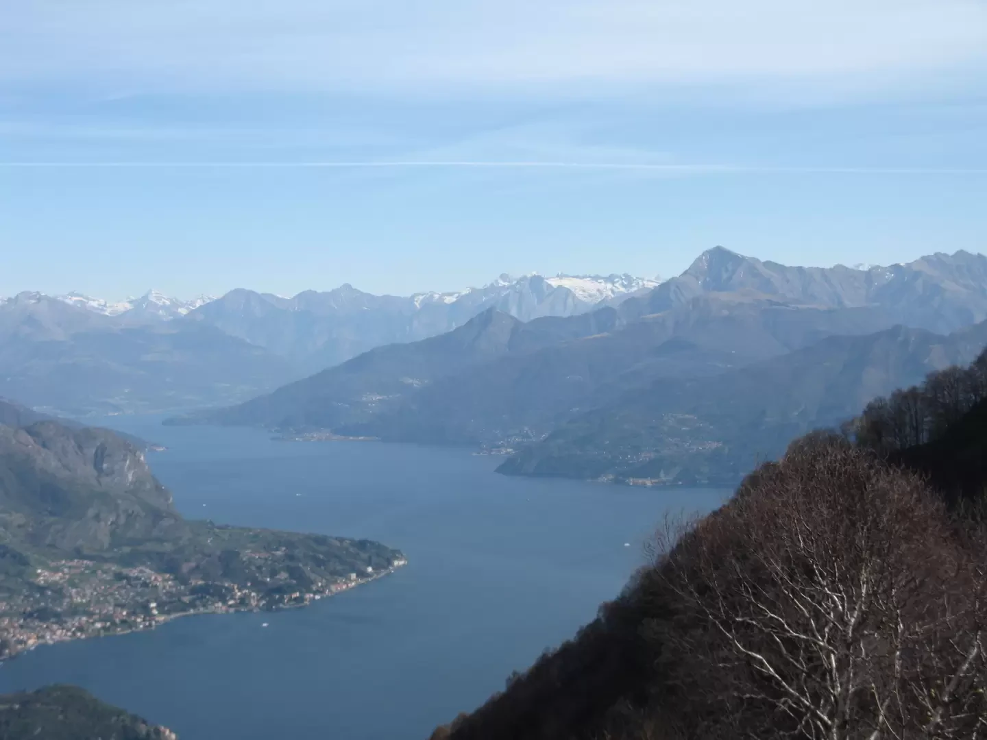
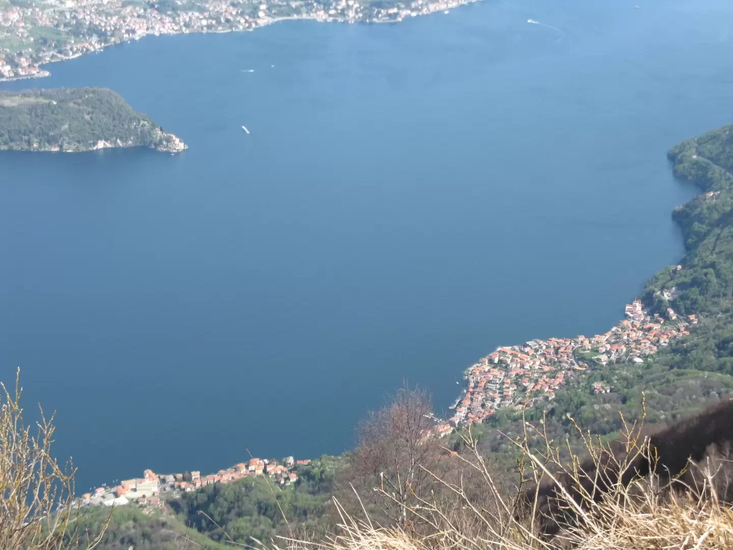
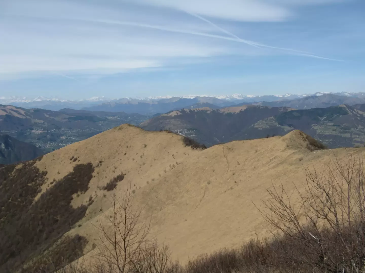
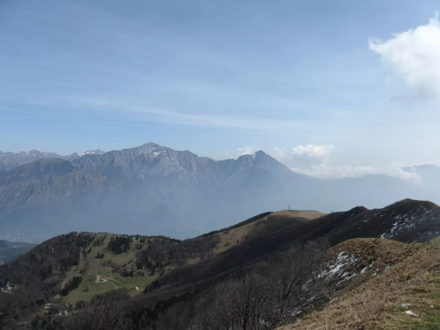
An interesting loop that runs along the crest of the most striking mountains of the Larino Triangle, from which a majestic panorama of the western arm of Lake Como and the surrounding mountains is guaranteed. To the north-west the view sweeps from the Valle d'Intelvi to the Rosa group, to the north the lake is visible in all its extension as far as the mountains of Val Chiavenna and Valtellina. Just ahead towers the Legnone and to the east the Grigne. To the south the lakes of Annone, Pusiano, Alserio and the immense plain.Description
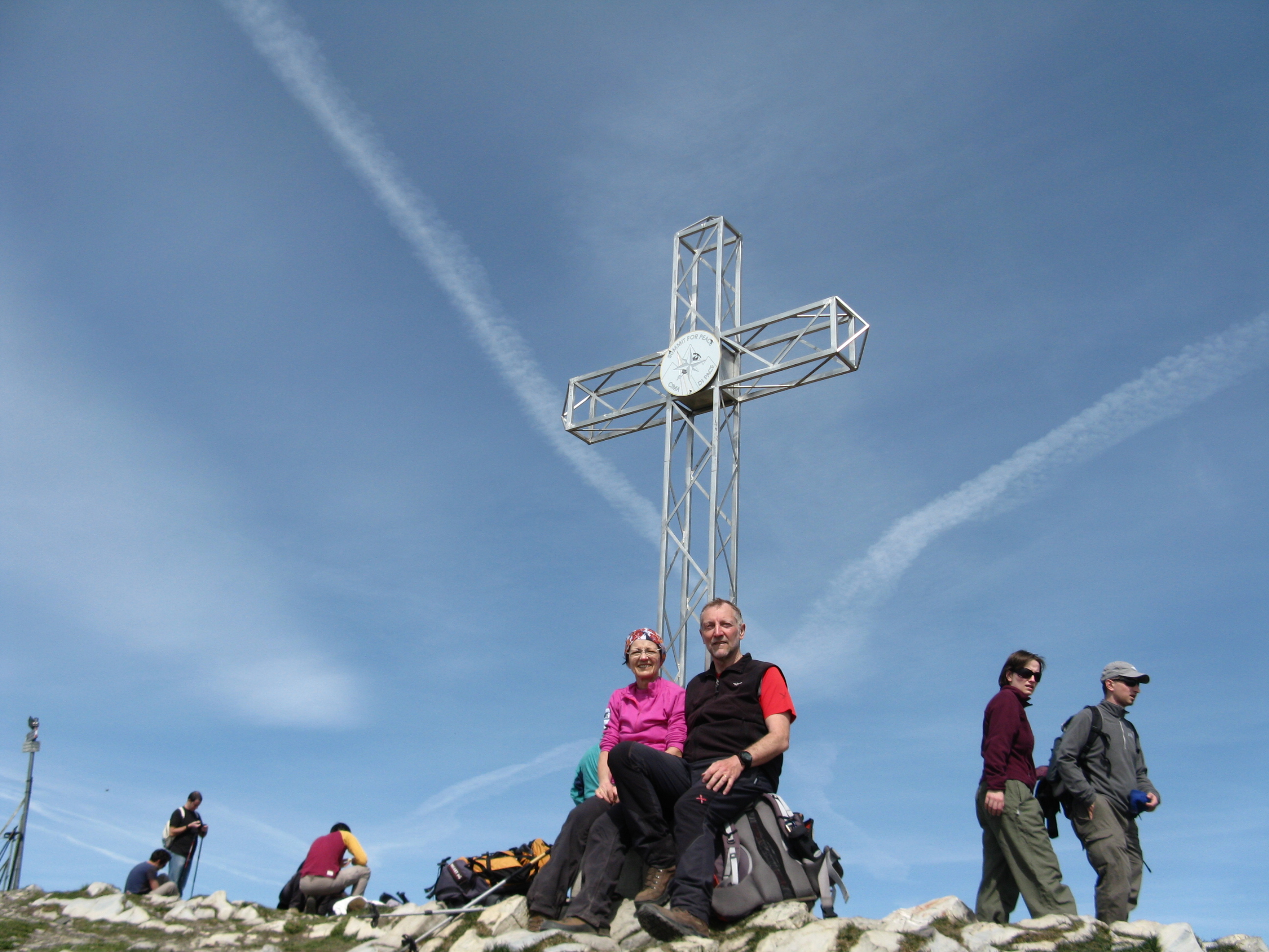
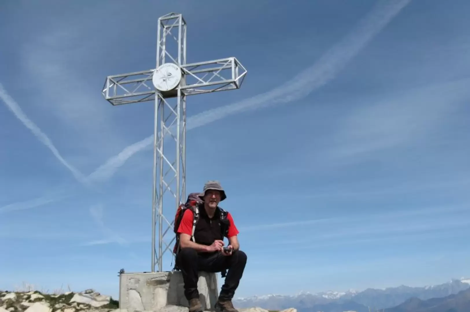
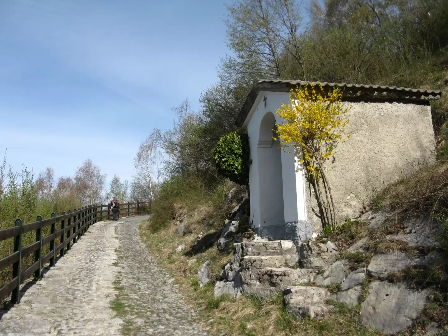
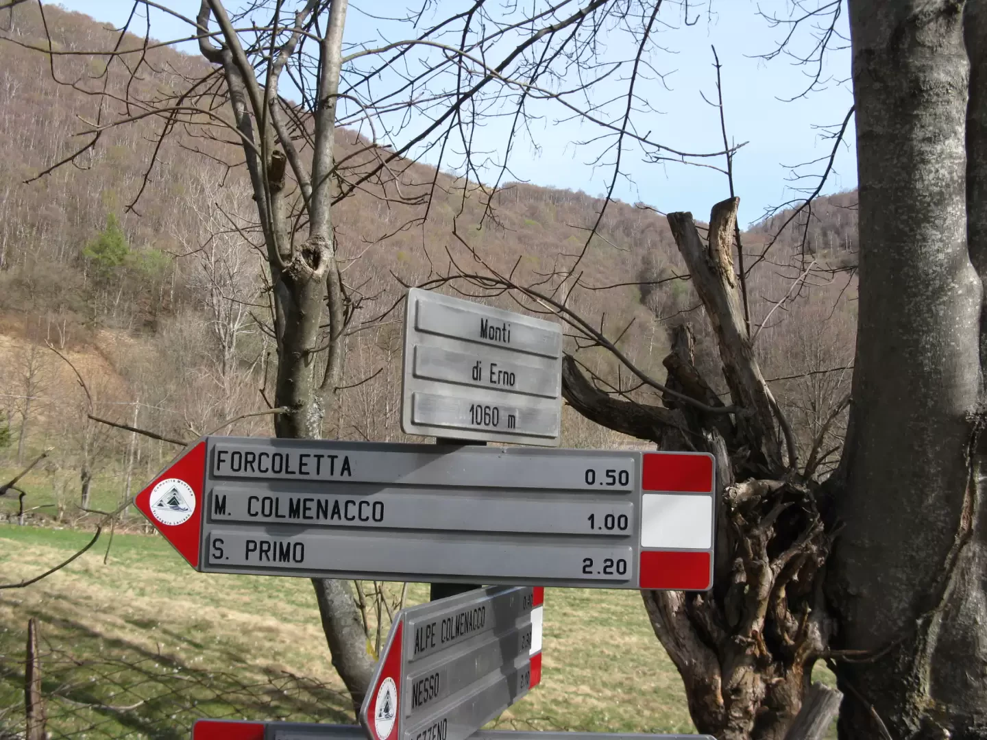
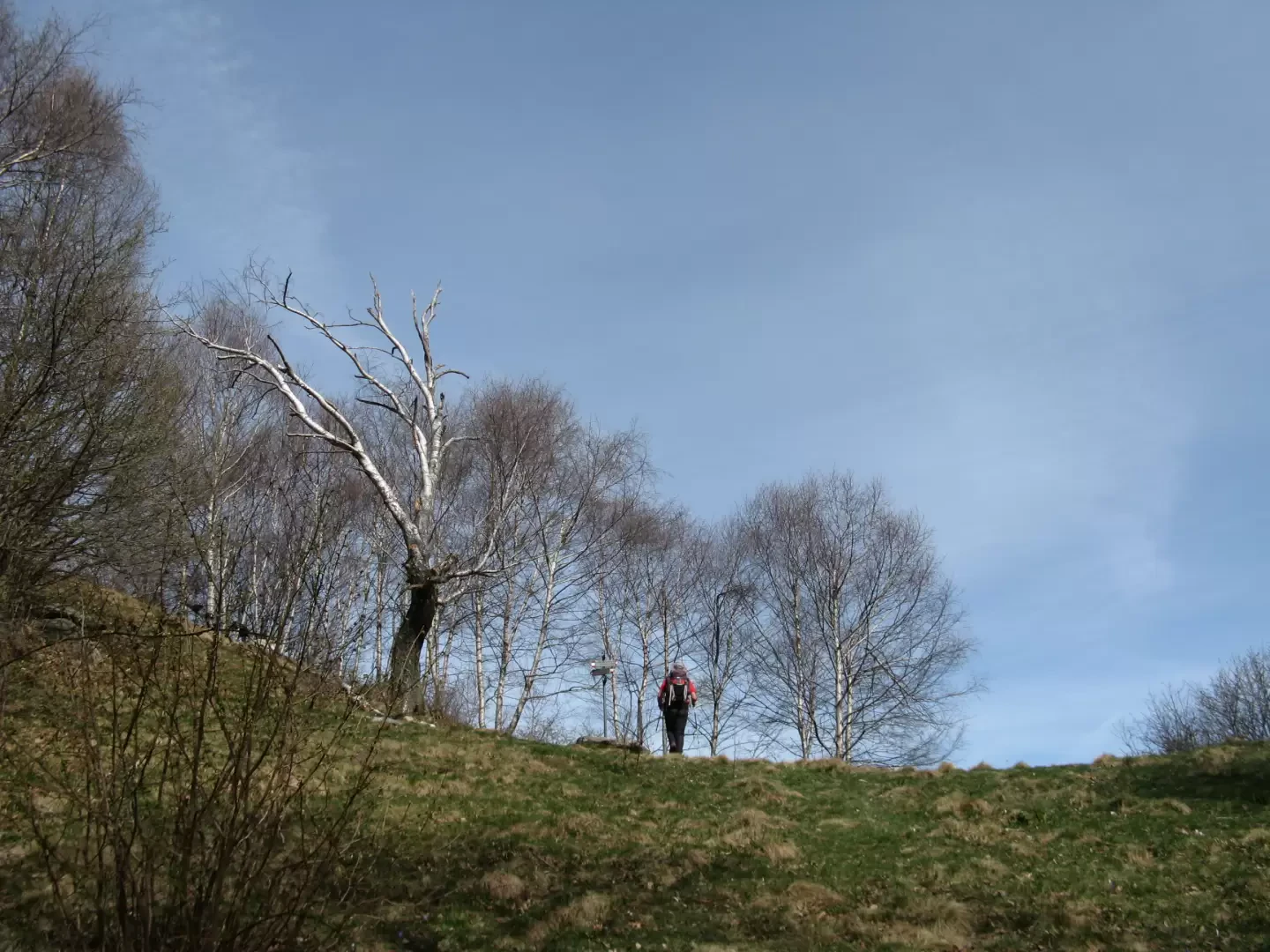
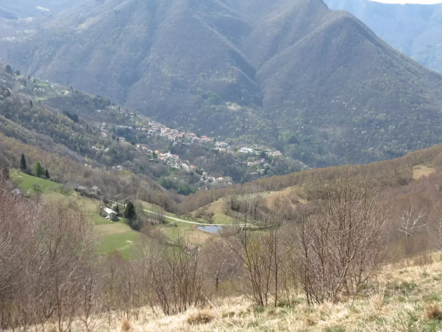
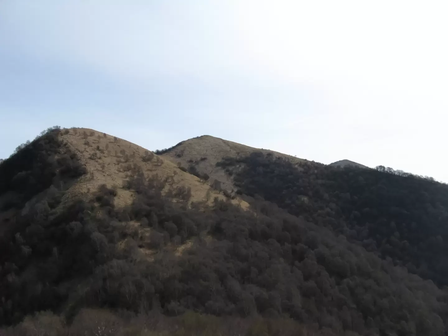
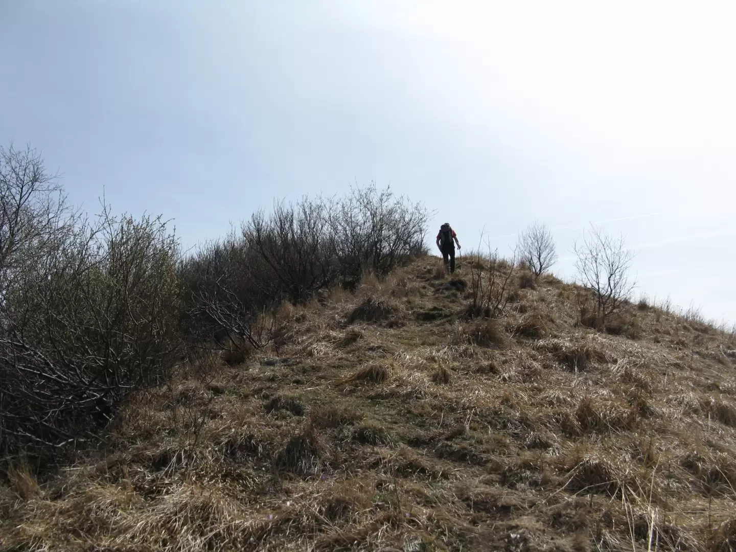
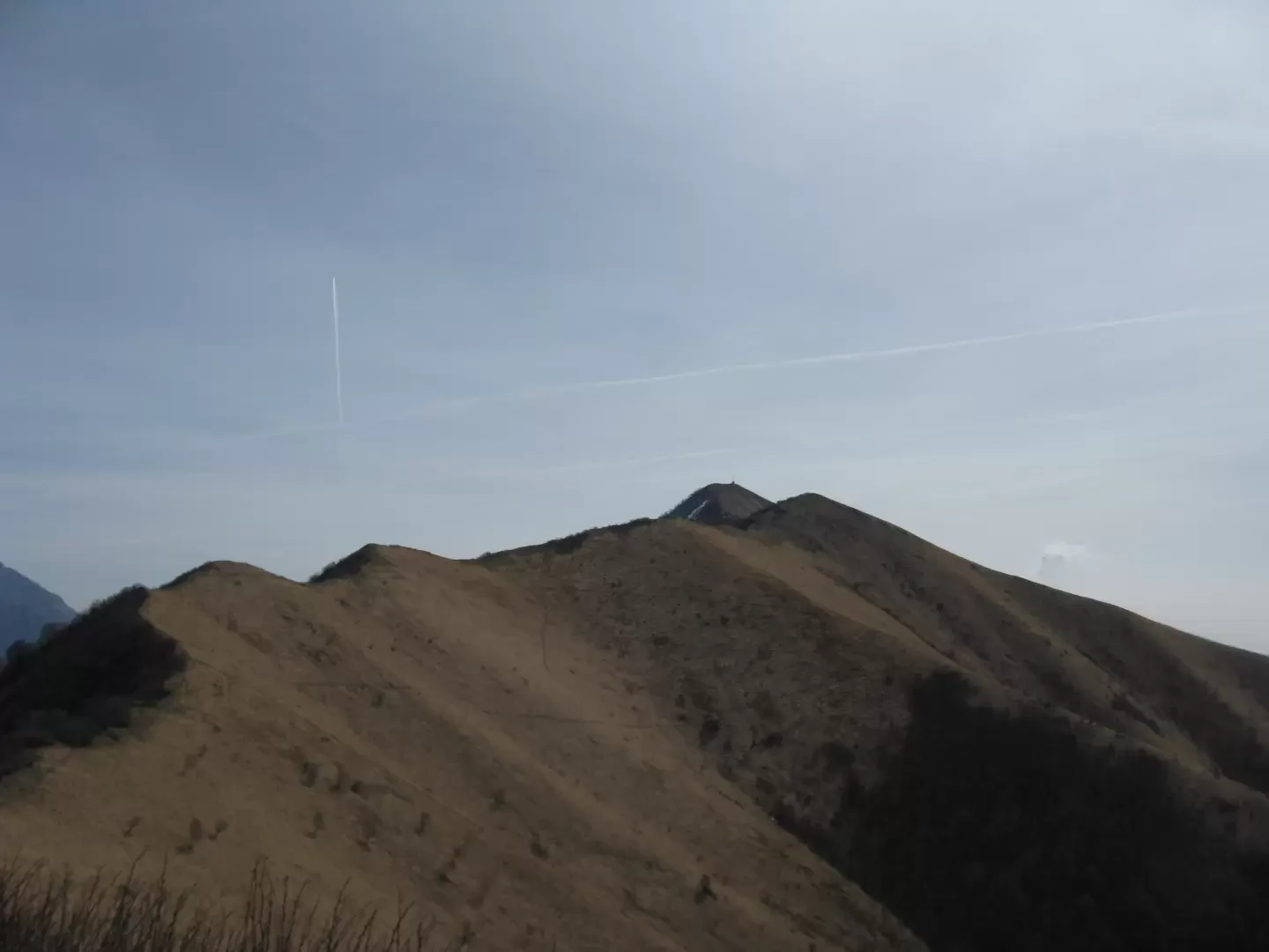
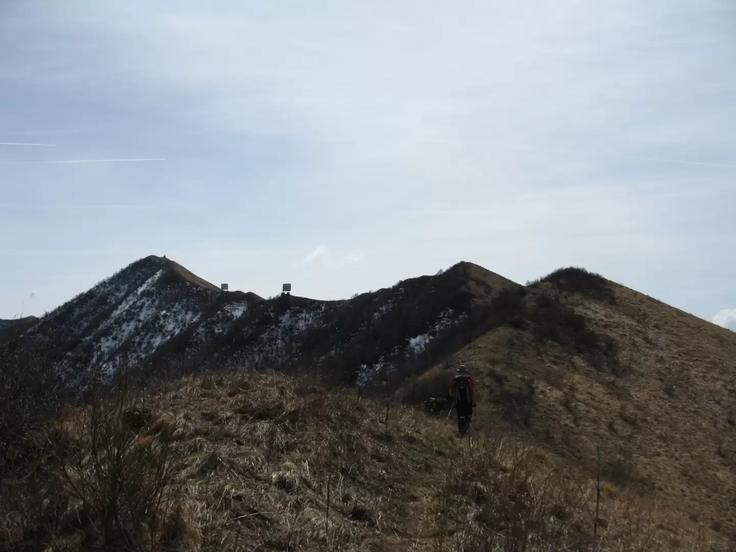
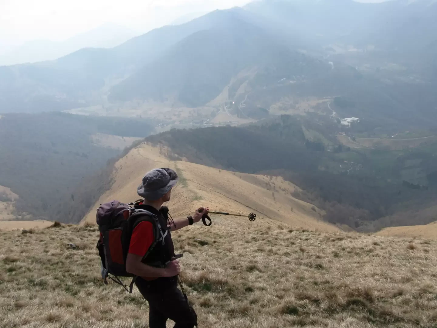
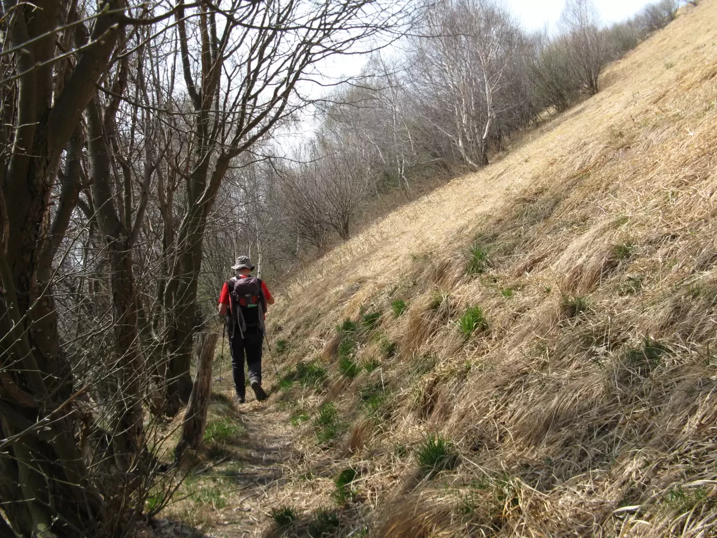
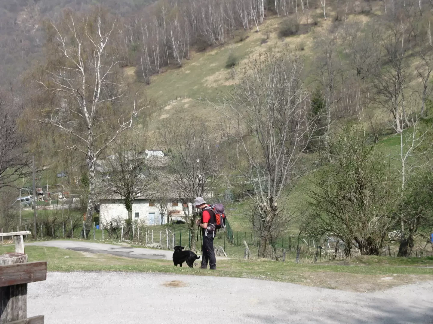
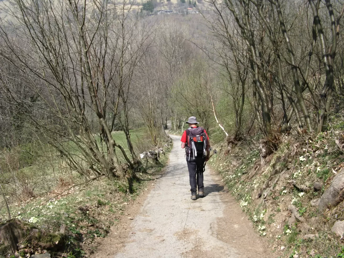
From the car park, there is a panel and signpost indicating the direction to Colmenacco. The road is asphalted, but should be off-limits to traffic (the conditional is a must, since we saw several vehicles pass by that were not exactly agricultural!). It climbs gently, leaving the Laorno di Sotto huts to the right and, further on, those of Monti di Erno. Here, just after a pond, you finally leave the road and, following another signpost, take a path to the right (north) which, after passing a farmhouse, tends to climb more decisively to the left into a birch grove until you reach a hill: La Forcoletta (1236 m) on which there is another signpost. To the west in ten minutes you reach the summit of Colmenacco, from which the view of the Valle d'Intelvi and the western branch of the Lario is stupendous. Retracing your steps, head east and, out of the forest, climb steeply up the Costa del San Primo. You touch Pizzo del Luser (1405 m), then, alternating steep climbs with easier routes, you reach and pass two repeater panels located below the final ramp at Monte San Primo. Reaching the summit and after a due break, one must descend the steep meadows south of the summit cross, heading towards the ridge 300 metres below. There is no trace of a path and the terrain is slippery, but if you head for the grassy ridge over there, you will soon find a track heading to the right (west) and skirting a forest of young birch trees. Later the track descends and enters a beautiful beech forest and, at an altitude of 1100 metres, reaches a group of huts (Monti di Là). From here, an asphalt road leads back to the car park.
.Galleria fotografica
We have been there

Edited by:
Ermanno Panara
Colmenacco e Costa del San Primo
saliamo al San Primo tutti gli anni, con e senza neve. Questo percorso era una novità, molto piacevole. Serve molta attenzione alla discesa dalla vetta del San Primo, perchè la pendenza è forte e l'erba scivolosa. Incotrato un Labrador di nome Pongosaliamo al San Primo tutti gli anni, con e senza neve. Questo percorso era una novità, molto piacevole. Serve molta attenzione alla discesa dalla vetta del San Primo, perchè la pendenza è forte e l'erba scivolosa. Incotrato un Labrador di nome Pongo