Colma di Mombarone
Description
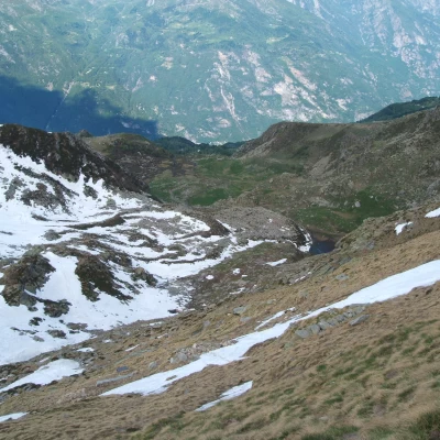
Take the path, which is always clearly visible (red-white marks), that crosses some streams and leads onto a dirt road. Continue along the road to the left for a few dozen metres and, at a hut, which you pass by, take the path again. Another short climb and you reach the damp Pianmorto basin (altitude 1870), a shelf that can be crossed by making an arch on the edge to avoid the water hidden in the centre. Turning left again, we descend to another meadowy shelf, that of the Brengovecchio Alp (altitude 1836). It is now necessary to bend a little to the right (red marks) and climb towards the basin of Lake Mombarone, and the Alpe Mombarone huts. Proceed leaving the meadow to the left, following a moderately ascending path, in a stony area with several rhododendrons.
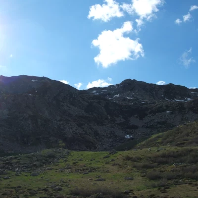
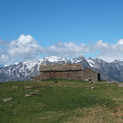
In the meantime, you have entered the little valley that descends from the Mombarone pass, keeping to the right side you will reach the highest shelters of the little valley (they are leaning against the walls).
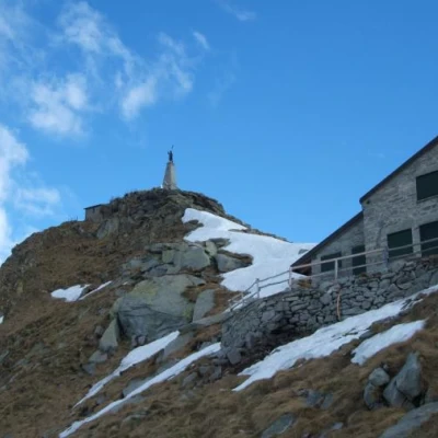
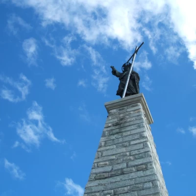
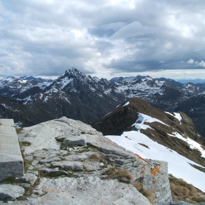
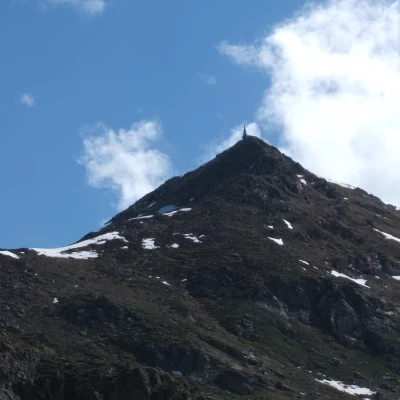
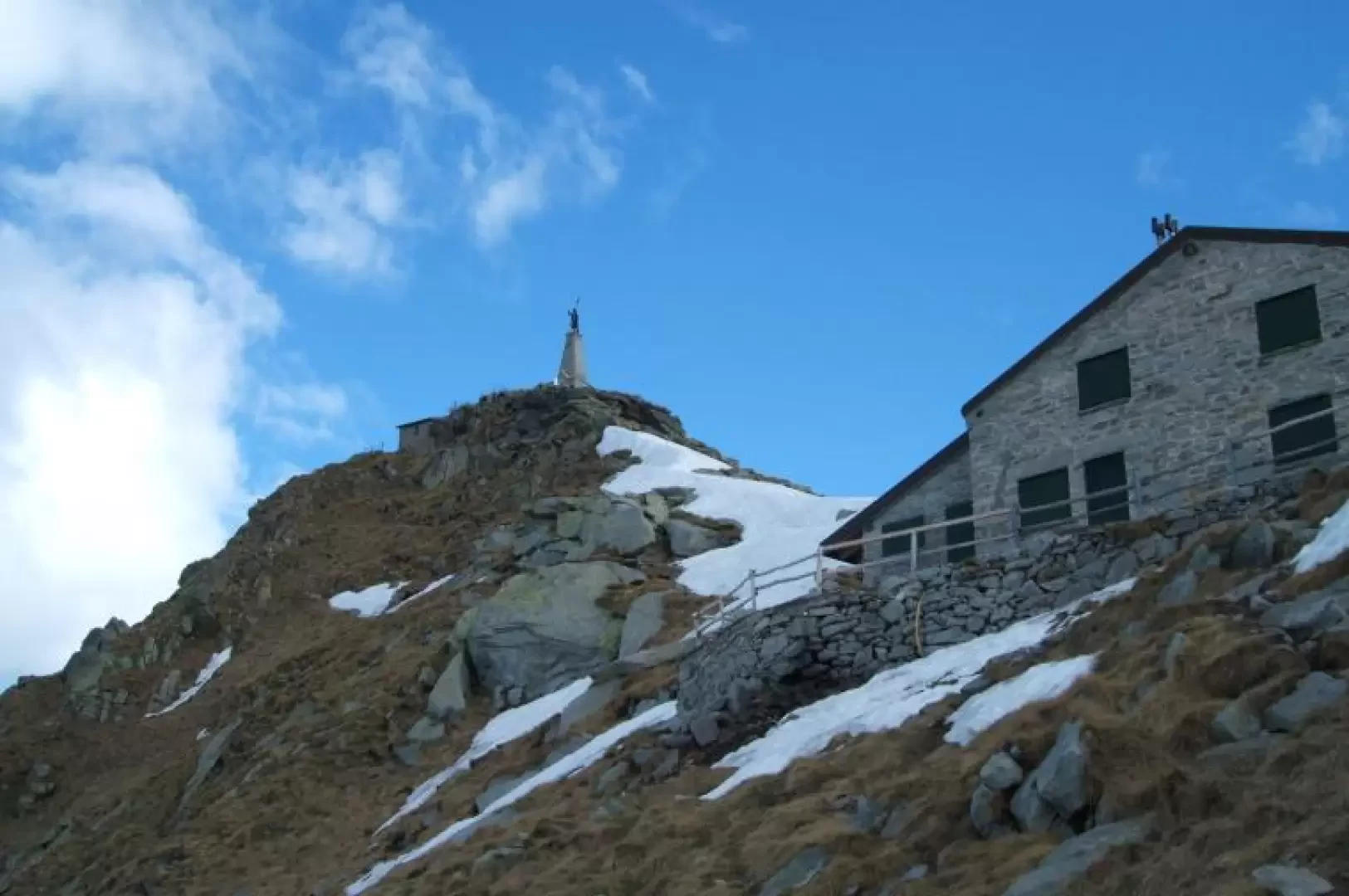
The path (in this section, red and yellow marks of the Ivrea-Mombarone race overlap) climbs to the left, steep for a short stretch, moderates the gradient and cuts across the Dora slope, sets a hairpin bend, then climbs to the refuge (altitude 2312). In about ten minutes you will reach the summit with a comfortable path that passes by a fountain and a sheet metal building ((race route) or to the left of the refuge begins a steeper and more exposed path (red marks) that joins the first near the summit.
