Colma di Mombarone, from San Giacomo

Edited by:
Silvia Quaglino
Updated at: 03/09/2024
Introduction
Hike with outstanding views from the summit of Mombarone.
Description
The path described faithfully follows the last part of the Ivrea-Mombarone mountain race. Follow the numerous yellow notches along the path. Along the trail, there are also wooden signs indicating the times of the various winners of the race as well as the missing kilometres to the finish line, located at the summit of Mombarone. To the left of the alpine refreshment point, a path starts (yellow notches and race signs) that climbs into the woods until it first crosses the dirt/asphalted road that leads to the alpine pastures.
Follow the path for a few dozen metres, cutting across a meadow and rejoining the road. cross it and rejoin the path that starts almost opposite. Continue on the path that enters the forest. Always follow the yellow markings, crossing the road once again, until you come to a first alpine pasture (1583 m). Continue for a few metres along the dirt road and take the path to the left that climbs up through the rhododendrons.
Continue along the path, which first climbs gently and then straightens out, until you reach a second hut (fountain) 💧 from here the path moves onto the eastern slope and, with a series of ups and downs, enters the upper plateau at the bottom of which is the last hut. The path continues with a stretch on scree, then straightens out until it reaches a depression in which the Pasci Lake (2119m) is located.
Follow the yellow-marked path along the lake, heading towards the peak. The path bends to the left and heads towards the Bocchetta pass, reaching which there are two possibilities:
- follow the ridge line (an exposed stretch but equipped with steel cables) faster.
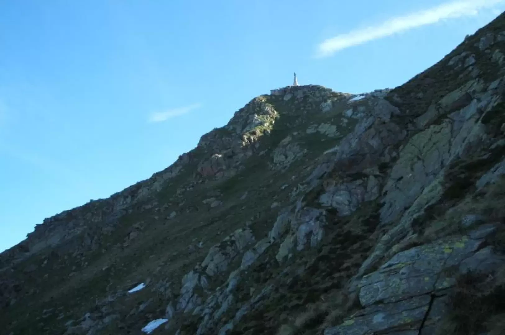
- continue on the trovinasse slope (you cross the path coming from trovinasse) always following the yellow notches and with a gentler climb until you reach the mombarone refuge. from the refuge to the summit 5 minutes.
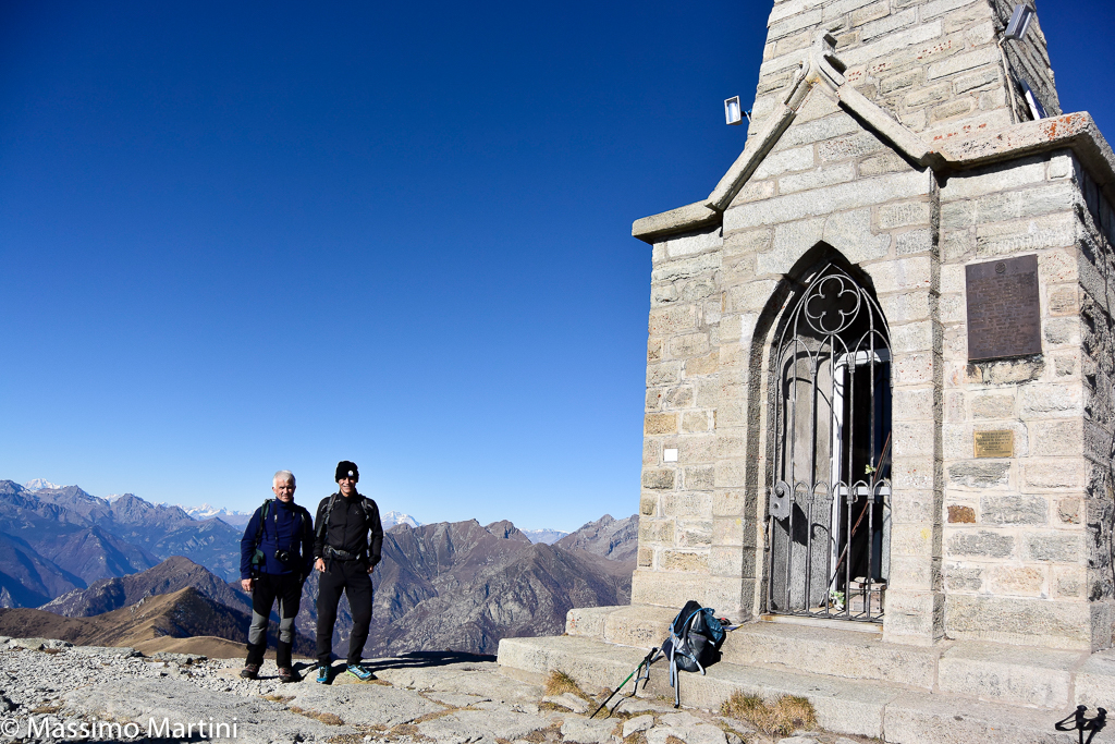
On the summit there is a statue of christ with a small church (glass door and bars, closed). From the summit the view sweeps over the Piedmont plain, with Ivrea, the lakes of Ivrea, lake viverone in the distance, a view of the Biella mountains, with monte mars in the foreground and mucrone a little to the right. the rifugio coda can be seen below. Towards the valle d'aosta the panorama is really wide, from the summit of the bianco to the cervino to the monte rosa group.
Descent by the same route or if you wish by the south ridge (some exposed passages and with chains)
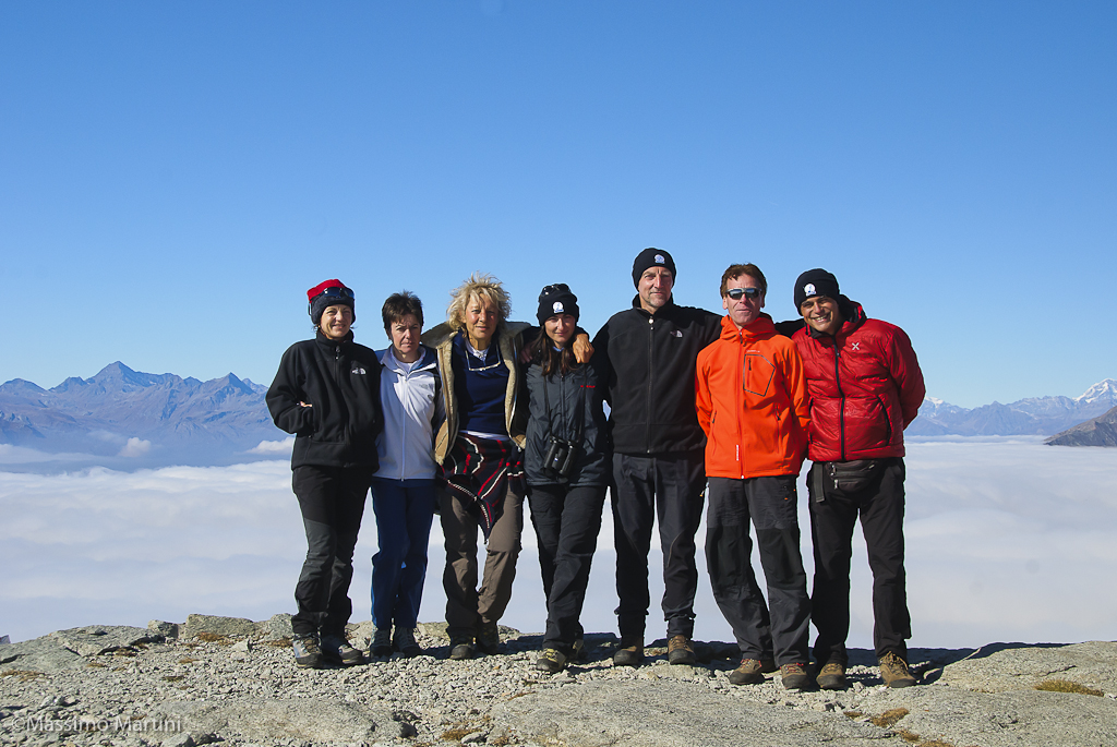
We have been there

Edited by:
Massimo Martini
Colma di Mombarone, da San Giacomo
Edited by:
Massimo Martini
Colma di Mombarone
Edited by:
Silvia Quaglino
Colma di Mombarone
ancora molta neve nel valloncello che porta alla bocchetta del mombarone e sul sentiero. in particolare è obbligatorio pasare su alcuni nevai alla fine dell'ultimo pianoro. sentiero coperto dalla neve lungo l'ultimo tratto, ma essendo evidente il percorso nonchè le tacche rosso-bianche si può prevalentemente evitare di pestare neve. al momento della mia gita scarso rigelo notturno tranne che nell'ultimo pezzo dal rifugio alla vetta. ancora molta neve nel valloncello che porta alla bocchetta del mombarone e sul sentiero. in particolare è obbligatorio pasare su alcuni nevai alla fine dell'ultimo pianoro. sentiero coperto dalla neve lungo l'ultimo tratto, ma essendo evidente il percorso nonchè le tacche rosso-bianche si può prevalentemente evitare di pestare neve. al momento della mia gita scarso rigelo notturno tranne che nell'ultimo pezzo dal rifugio alla vetta.
Edited by:
Silvia Quaglino