Colle Serena, from the Crevacol car park

Edited by:
Marcello Rossi
Updated at: 14/03/2026
Access
Introduction
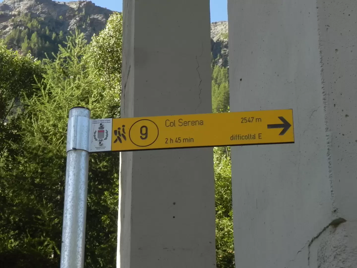
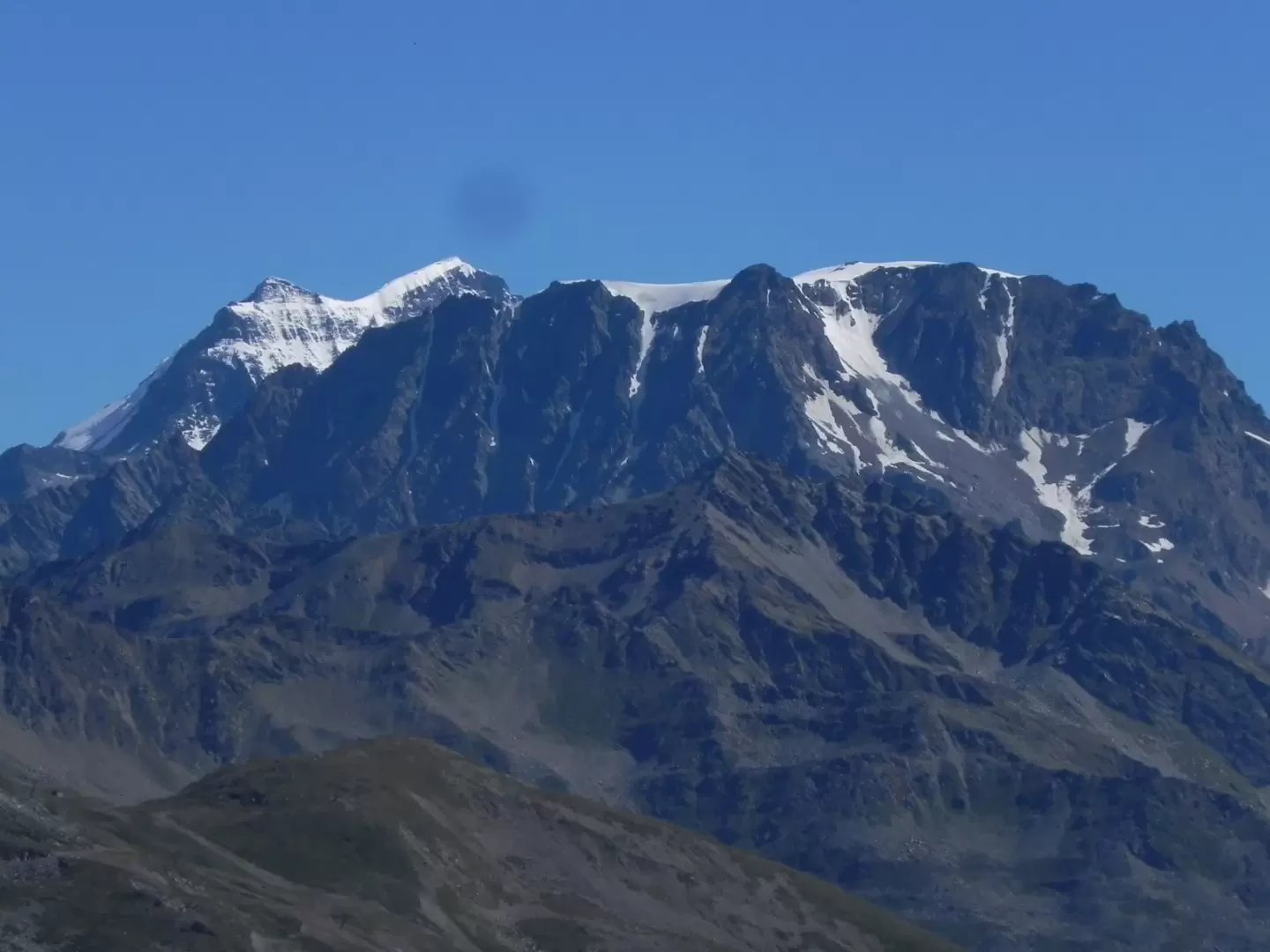
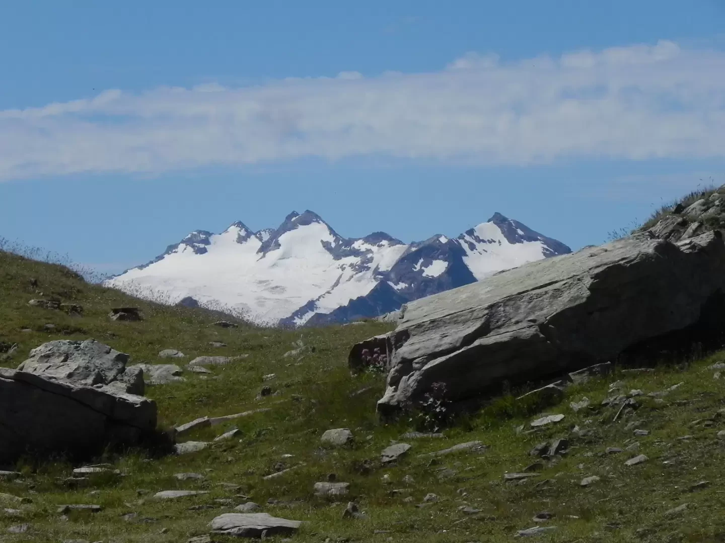
Beautiful and scenic hike along a well-marked path with only a small section before the pass that presents slight difficulties (but no danger) due to the slippery ground. At the start of the path, the two markers indicate two markedly different times, the one referring to 2h 40 minutes is true if the ascent is along the path. At the pass, there are beautiful views of the Great St Bernard valley, Mont Velan, the Grand Combin and as far as the Monte Rosa massif. Towards the Comba di Planaval, the view sweeps from the Rutor to the Petit St Bernard pass and even peeps over Mont Blanc.
Description
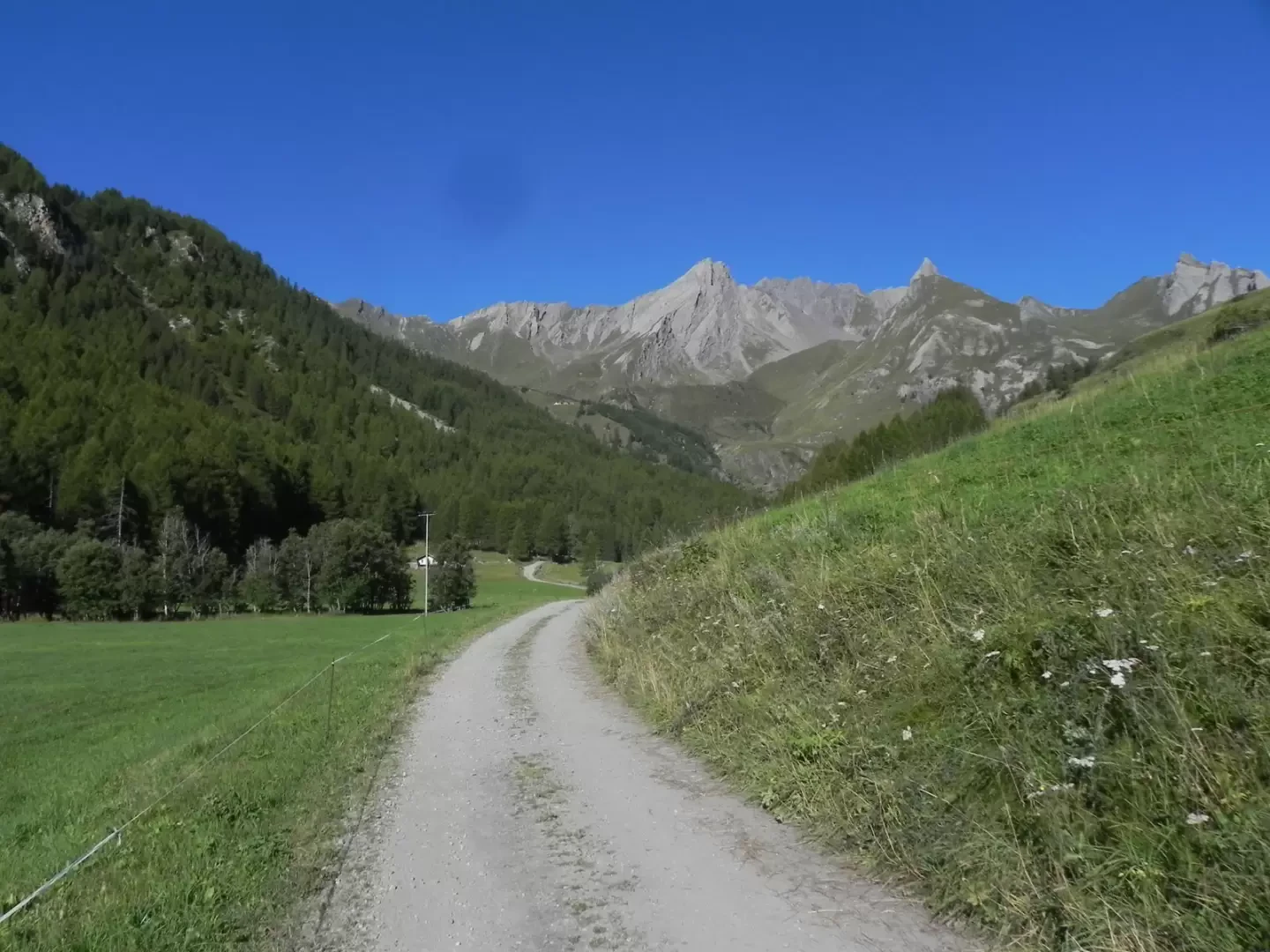
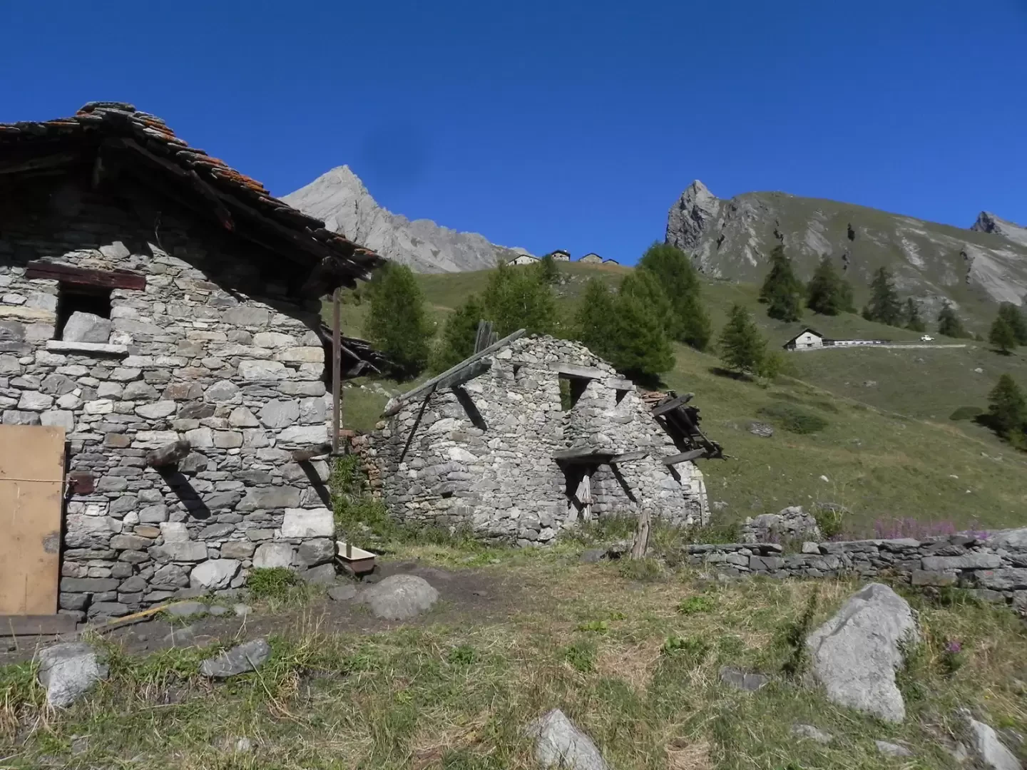
At the car park, take the path that passes under the pylons of the highway to the San Bernardo tunnel (be careful to take the path that starts to the left of the car park). Continue on the dirt track for about ten minutes and immediately after the fork leading to an alpine pasture, take the path, which at first is barely visible and then begins to climb at a moderate gradient. After a short time, the path becomes more marked and clearly visible and begins to move gradually westwards until it joins the dirt track coming from the car park. On the road, turn left and at the first bend to the left turn back onto the path (yellow marker at the top and not very visible). The path climbs up parallel to a small impluvium, crosses it and, with a diagonal turn to the left, returns to the cart track, at the level of the ruined huts of Arp du Bois Dessous. Follow the path for a short distance and after a bend to the right, turn back onto the track. Go up the slope of a small impluvium, cross it and enter the valley that descends directly from the Serena pass.
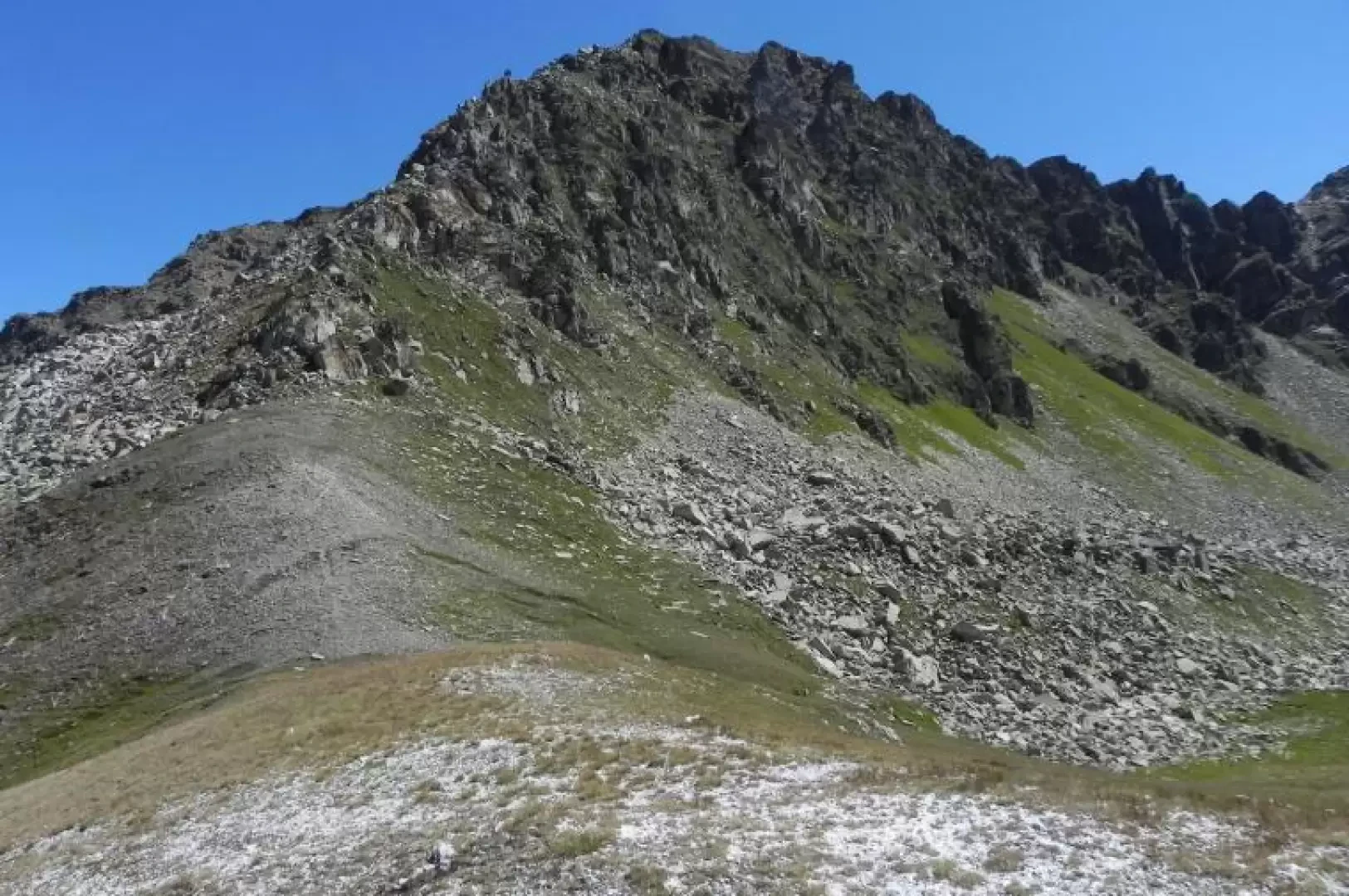
The path bends to the right on the level until it reaches the sides of a cone of detritus, which is climbed by going round it on the right, after which the path loses its slope again and enters the valley. Another prominence is reached, which is easily surmounted, before arriving at the last prominence where some care must be taken as the route becomes slippery. Once this last rise has been overcome, a traverse to the left leads to the wide Serena pass.
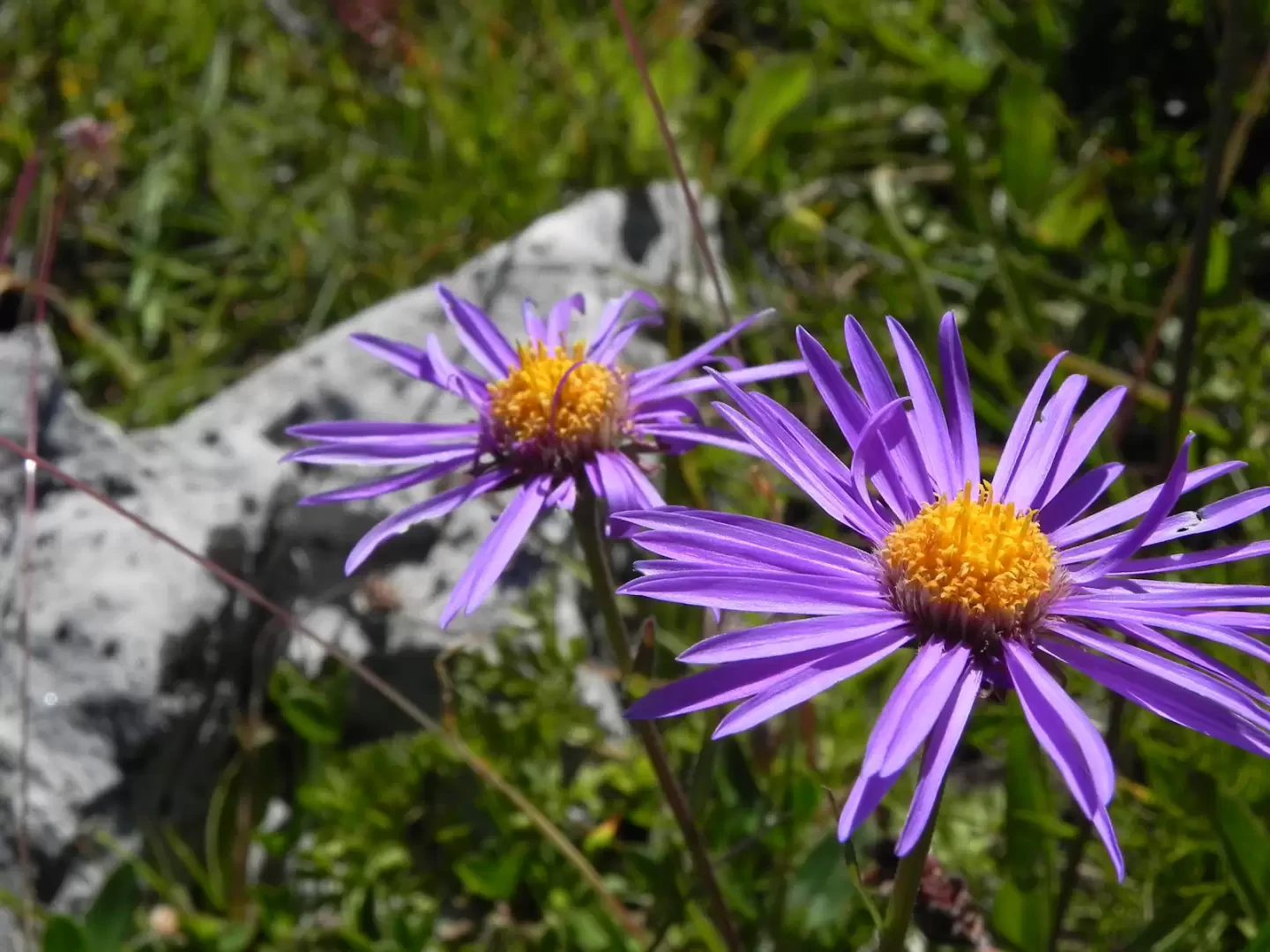
Galleria fotografica