Col Portola, from Promiod

Edited by:
Massimo Martini
Updated at: 02/10/2025
Access
Leave the motorway junction at Châtillon, turn left and continue for about 300m until you come to a roundabout: take the third exit and continue straight on Via E. Chanoux. Go through the centre of Châtillon for about 600m and then turn slightly right onto Via Menabreaz to follow for 450m to the characteristic roundabout with the "Matterhorn" inside. Take the second exit and take the Valtournenche road, following it for about 7.6km to Antey-Saint-André where you turn right onto for La Magdeleine. Climb up the regional road for 4.6km until you reach the junction for Promiod. Follow the little communal road to the right for 1.4km until you come to a large free car park on the left 🅿️ where you can leave your car.
[0h23'] - [14.9km]
How to get there with GMaps
How to get there with Apple Maps
The information provided here has been verified as of the date of the route survey. Before setting off, it is advisable to ensure that no substantial changes have occurred on the route to the starting point. We therefore recommend the use of the satellite navigation apps provided by Google or Apple for up-to-date and detailed directions.
Introduction
The Col Portola is a pass in the Pennine Alps located in Valle d'Aosta, between the municipalities of Châtillon and Ayas, at an altitude of 2,410 metres.
It is important to note that weather conditions and seasons may affect the accessibility and safety of the Col Portola. Before embarking on any excursion, it is advisable to consult local guides and check the route conditions.
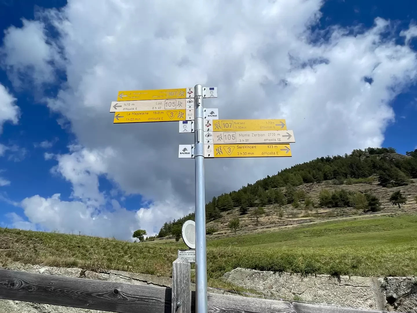
Description
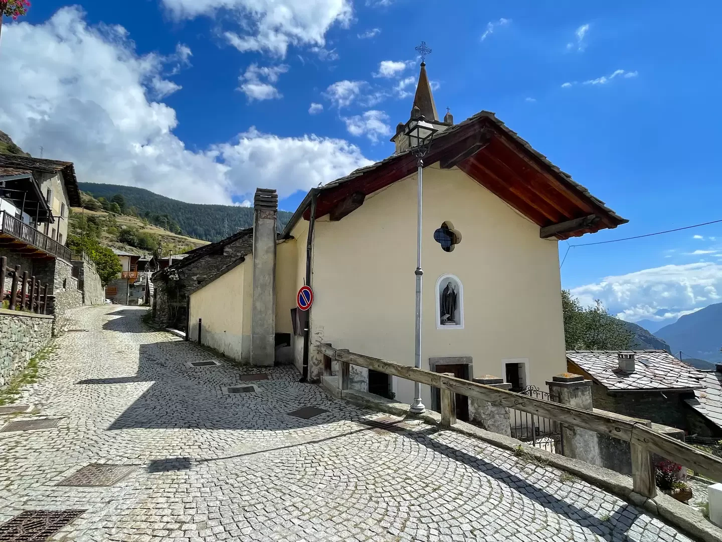
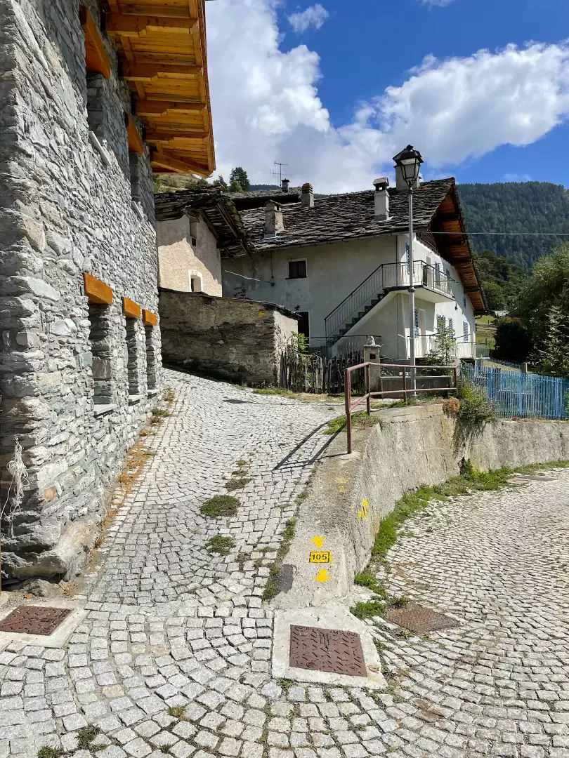
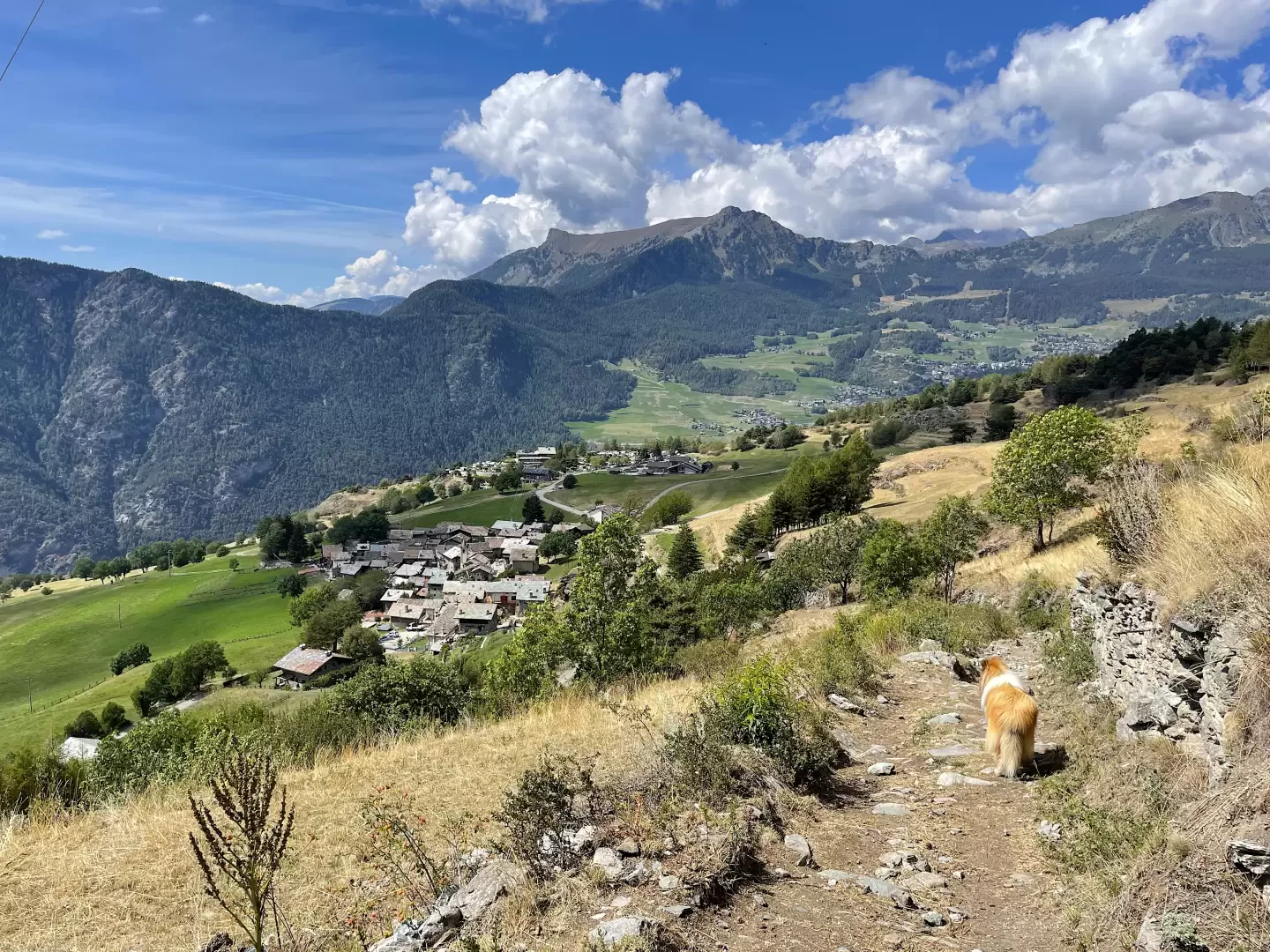
0h00' 0.00km From the parking area, proceed in a southerly direction entering the village of Promiod. After a short descent, you first reach the village chapel dedicated to Saint-Antoine, (fountain 💧 on the right) and a little further on, after a short ascent, the fork with the entrance to the path (fountain 💧 at the start of the path).
0h05' 0.16km
Turn left and take the little road which, after leaving the last houses of Promiod, becomes a path and goes up the green pasture until it crosses the farm road. Cross the road and continue along the lovely mule track until you come to a cross and the farm track again, which you take uphill to the left. The trail climbs moderately and steadily up the orographic right-hand side of the Vallon de Promiod, leaving the pastureland behind to plunge into the beautiful coniferous forest of Praz Carral; pass the ruins of Boettes and reach a fork in the road at a hairpin bend (1,730m).
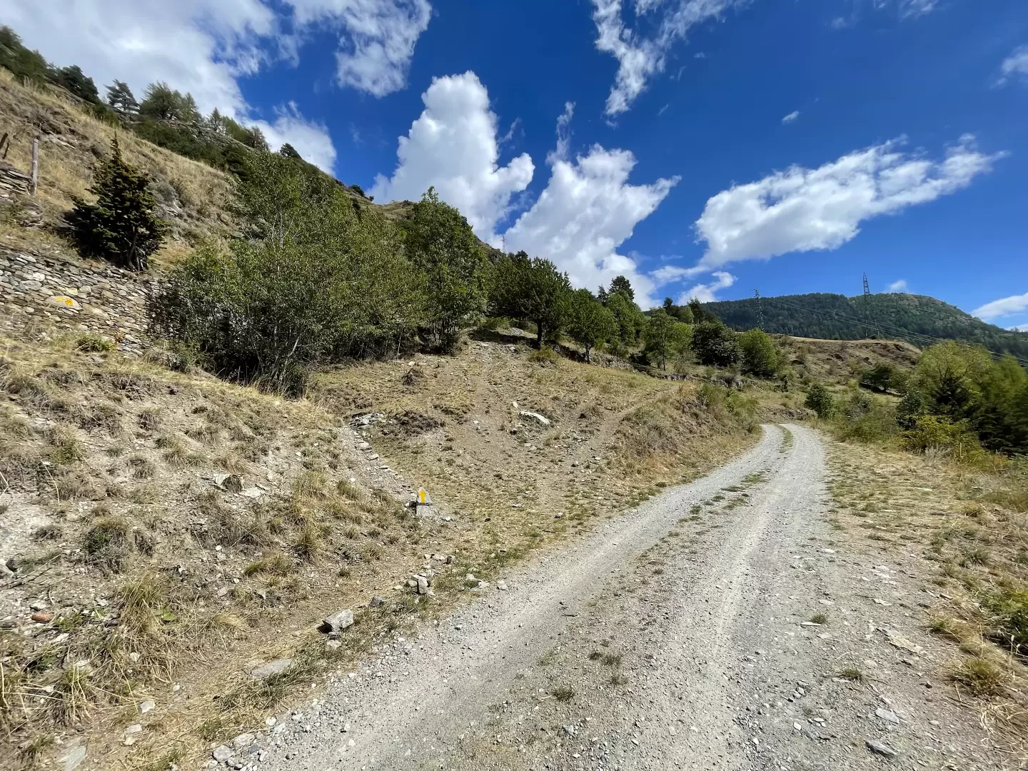
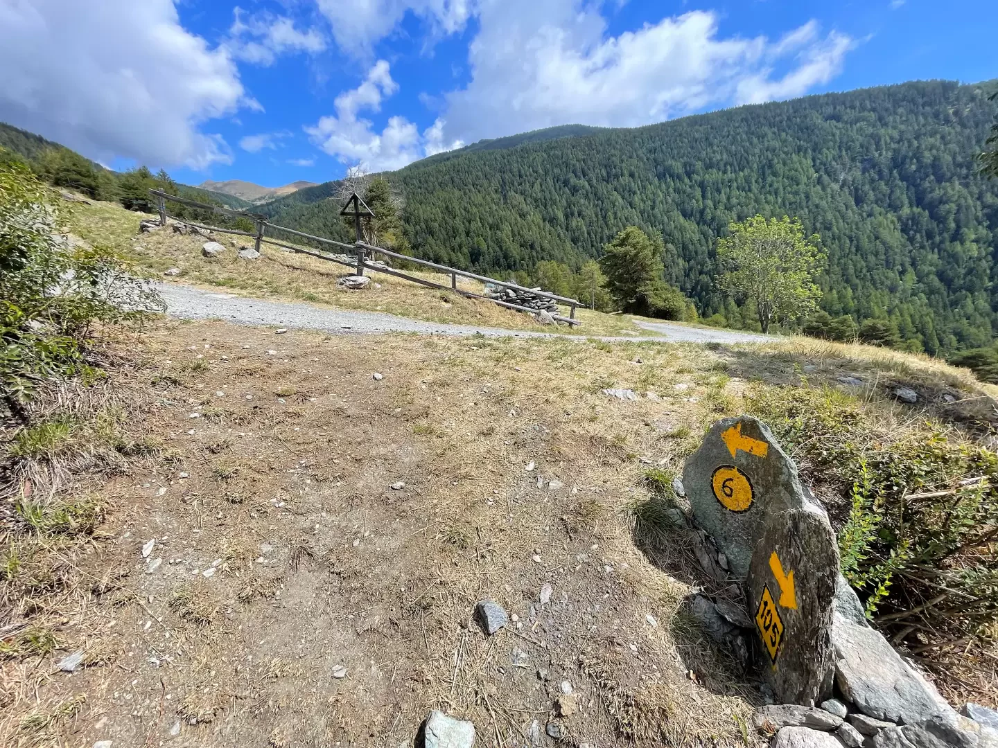
0h40' 1.50km Turn left, ignoring the small road that continues straight ahead, and immediately right before tackling a fairly steep tarmac road before leaving the forest near the ruins of Supplin and Brovié. The slope reduces and interesting views open up of the Tantané-Zerbion coast and its characteristic grassy slopes. Neglect the track that descends to the right to Champ and Francou before making a couple of turns near the ruins of Brenvey (2026m) before re-entering a wooded strip. The trail re-enters the forest, skirting the ruins of Renard (2046m) before tackling a small climb that leads, after a couple of twists and turns, out of the forest, facing the characteristic pyramid of Mont Tantané. A few hundred metres along the road and you reach another fork in the road.
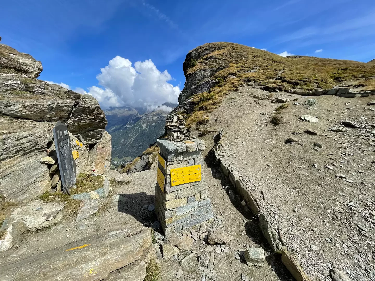
2h00' 4.40km Continue straight on, following the dirt track that follows the sinuousness of the slope. We leave the La Nouva pastures (2193 m) on the right: the last dwellings we will encounter on our route. At a bend to the right, we come to a small path on the left that we take to cut across the long curves of the track. Take the road again for a couple of hairpin bends and then leave it for good, taking the path marked with a yellow marker. Continue over the meagre grassy pastureland with a long diagonal halfway up, heading towards the summit of Mont Zerbion. Near the pass, the path gradually increases in gradient before reaching the notch of Col Portola (2410m).
The descent follows the same route as on the outward journey 0h40'.
Galleria fotografica