Col Pilaz, from the Vieu car park

Edited by:
Massimo Martini
Updated at: 04/05/2025
Access
Leave the motorway junction at Châtillon, turn left and continue for about 300m until you come to a roundabout: take the third exit and continue straight on Via E. Chanoux. Cross the historic centre of Châtillon for about 600m and then turn slightly right onto Via Menabreaz to follow for 450m to the characteristic roundabout with the "Matterhorn" inside. Take the second exit and take the Valtournenche road for about 7.6km to Antey-Saint-André, where you turn right onto the to La Magdeleine. Climb up the regional road for about 7.8km until you reach the main town of Brengon. Drive past the parish church and, after a few hundred metres, park your car in the covered car park 🅿️ at Vieu. If the car park is full, you can continue along the little communal road that a little further on has pay parking spaces on the edge of it (6€ per day from 8 a.m. to 5.30 p.m. - coin or easypark).
[0h25'] - [17.1km]
How to get there with GMaps
How to get there with Apple Maps
These indications are based on direct verification at the time of the survey of the route so the information should be verified before starting the hike. We recommend using a GPS navigator or map app on your smartphone to get up-to-date and detailed directions.
Introduction
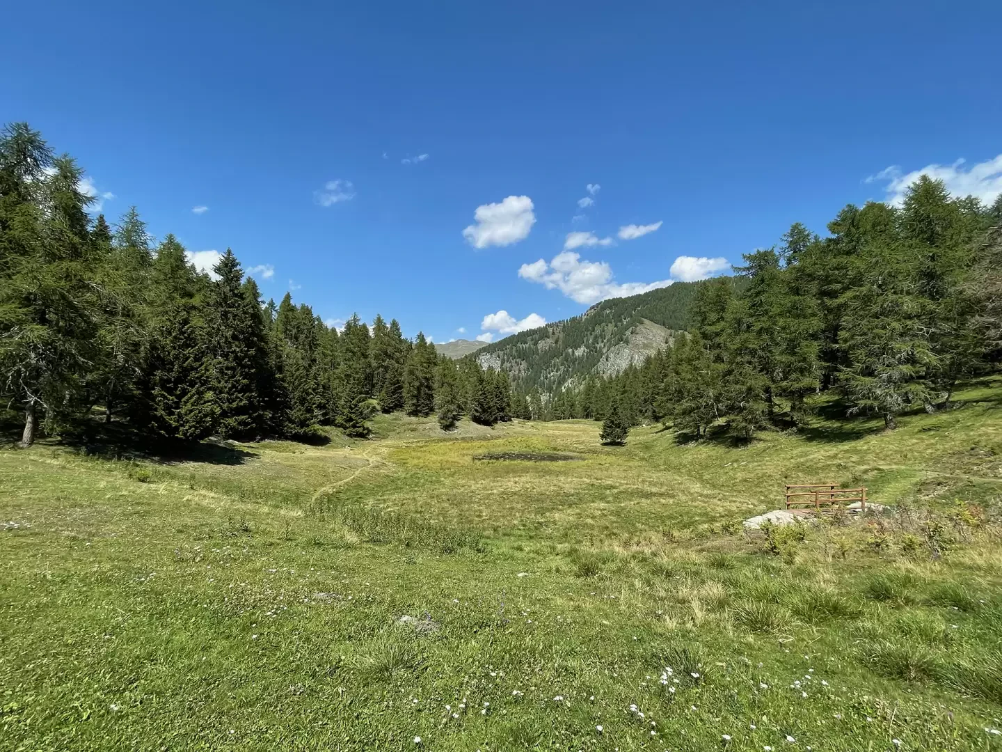
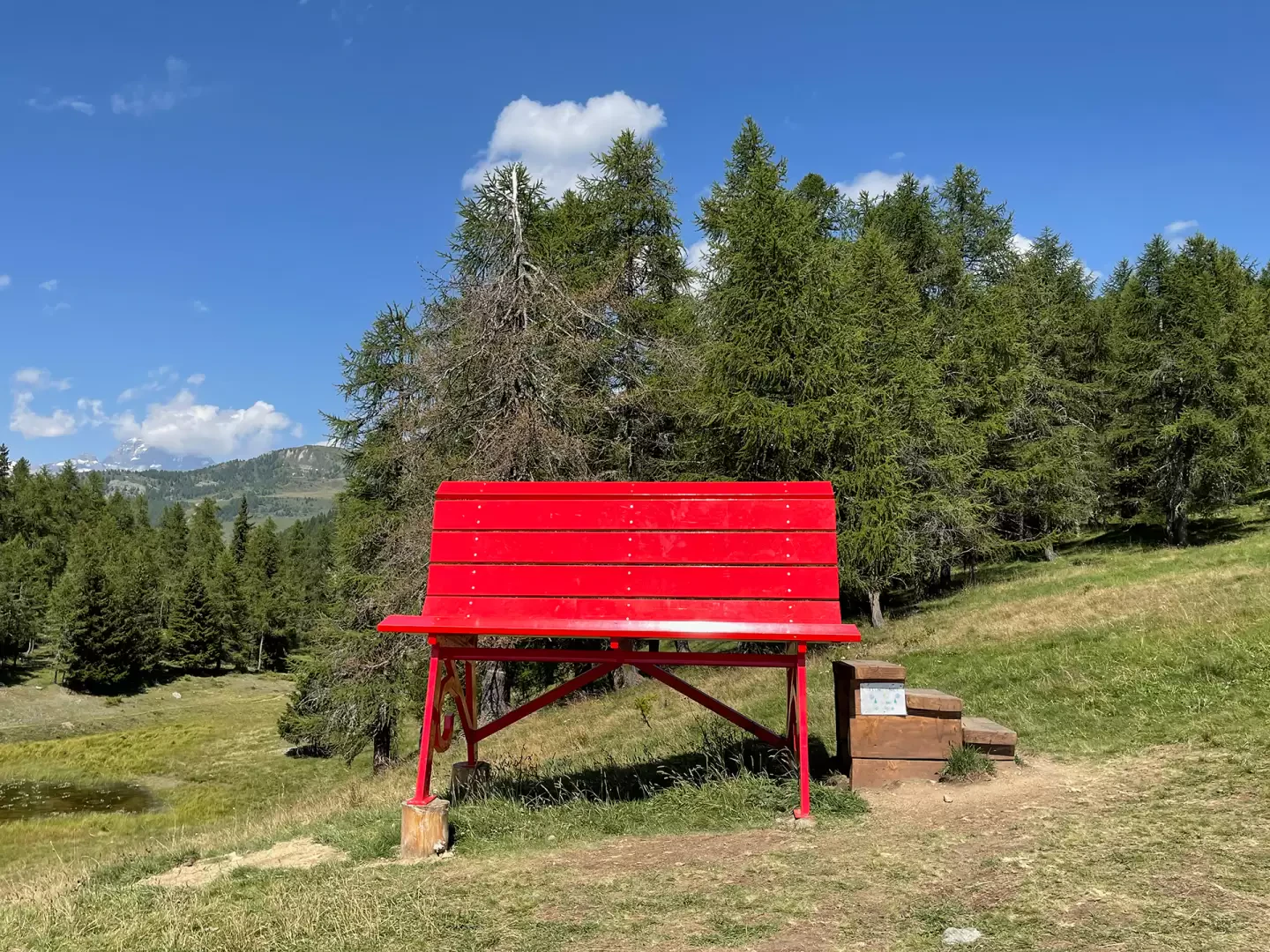
The Col Pilaz is a wide saddle that divides La Magdeleine from Chamois. On the wide pass, in addition to tables and benches for picnics, a red Big Bench has been positioned since the winter of 2020-21, which has greatly increased hiking traffic. At the start, the time indications indicate an hour's walk, but without any particular effort it takes about forty-five minutes to reach the destination.
Description
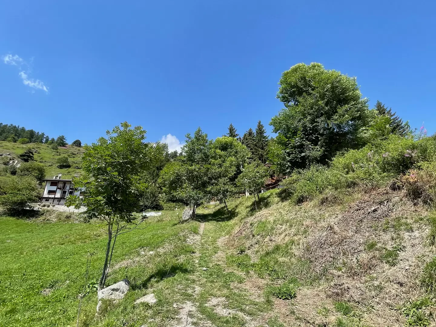
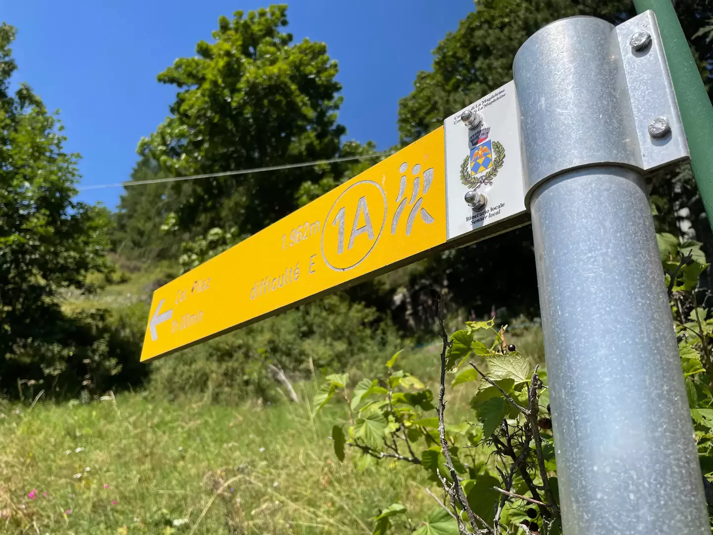
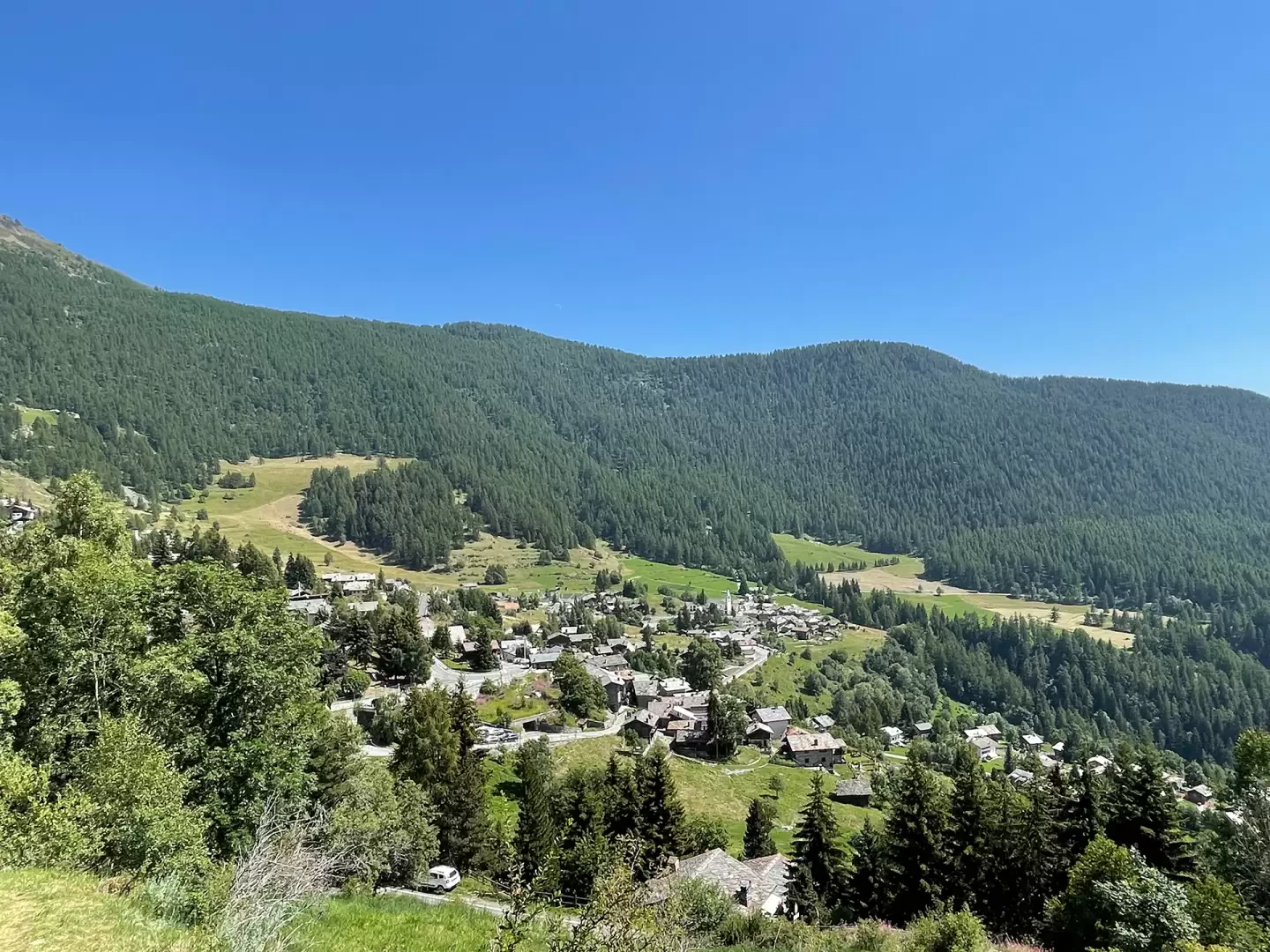
0h00' Near the covered car park, a grassy lane quickly leads onto the municipal road. Cross the road and walk close to the marker post indicating the start of the path .
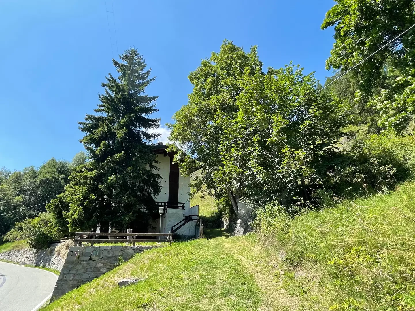
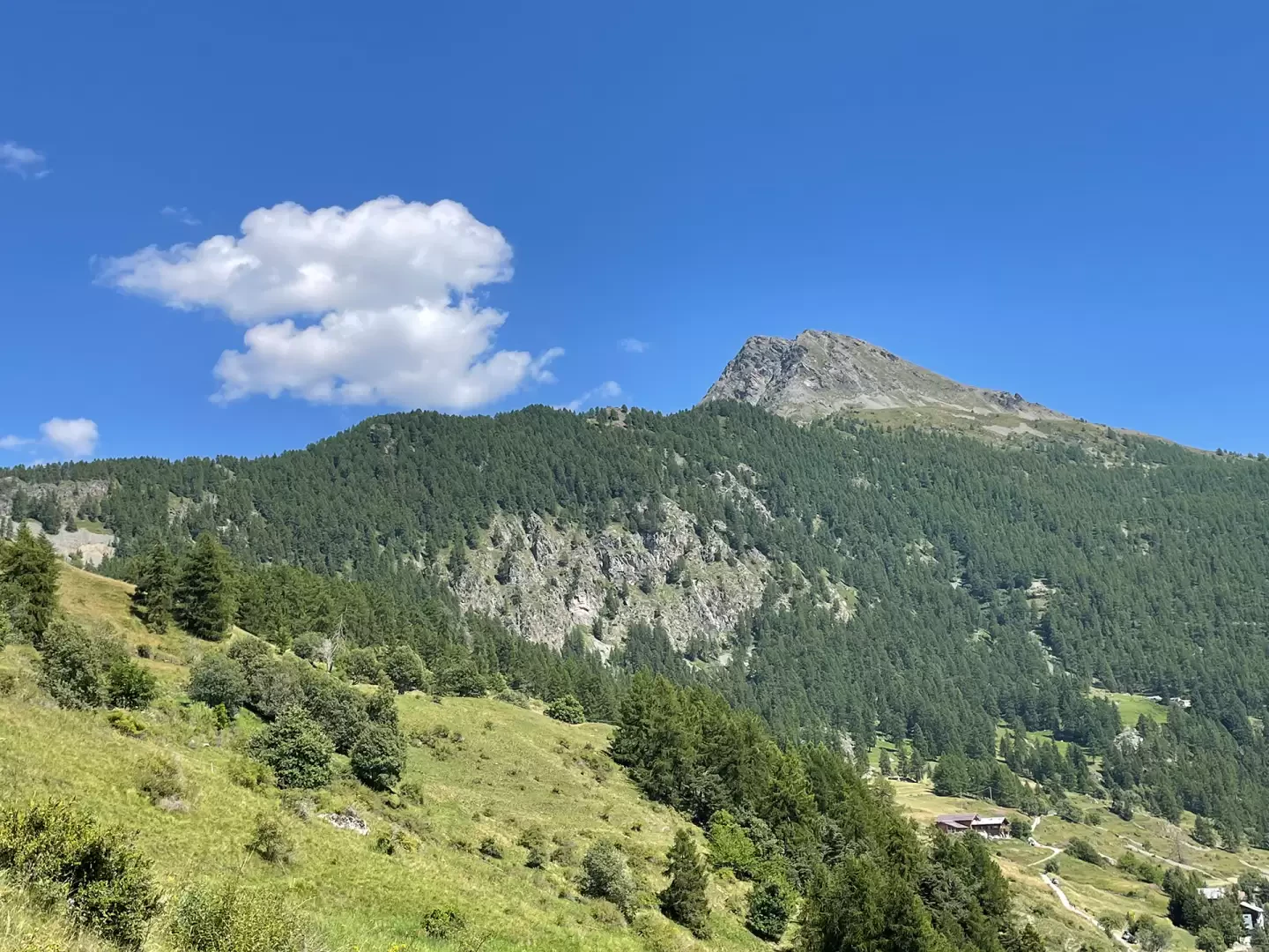
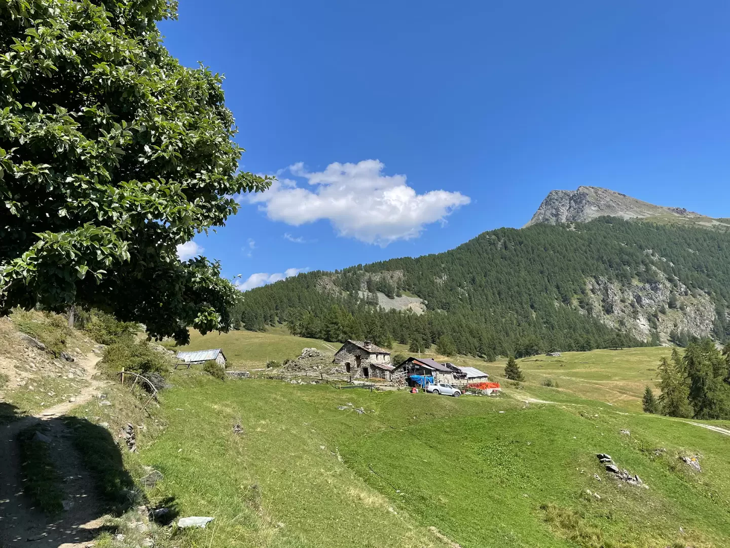
0h05' Follow the path which, after skirting a farmhouse, climbs up the slope through pastures interspersed with a few thickets of woodland. You easily gain height while enjoying pleasant panoramic views of the villages of La Magdeleine below and the not too distant Lake Lod until you reach a crossroads: leave the track to the left, which leads to the communal road, and turn right.
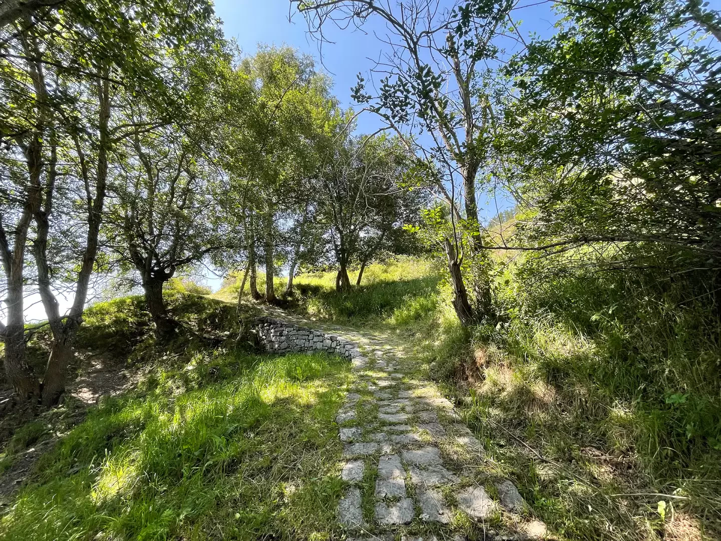
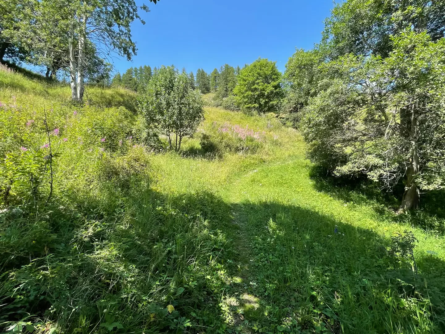
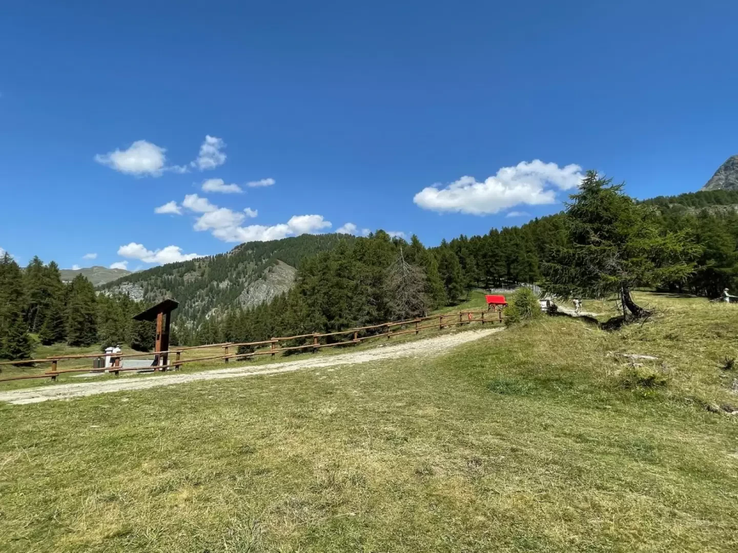
0h15' Proceed to the right following the obvious path, even in the absence of any signs on the ground, following an ascending diagonal that leads to the ulmina pastures with a short rocky step passing a stretch of path bordered by a wooden railing near a short rocky step. The trail leads onto the wide pastures of Landasse, leaving the alpine pastureland to the right.
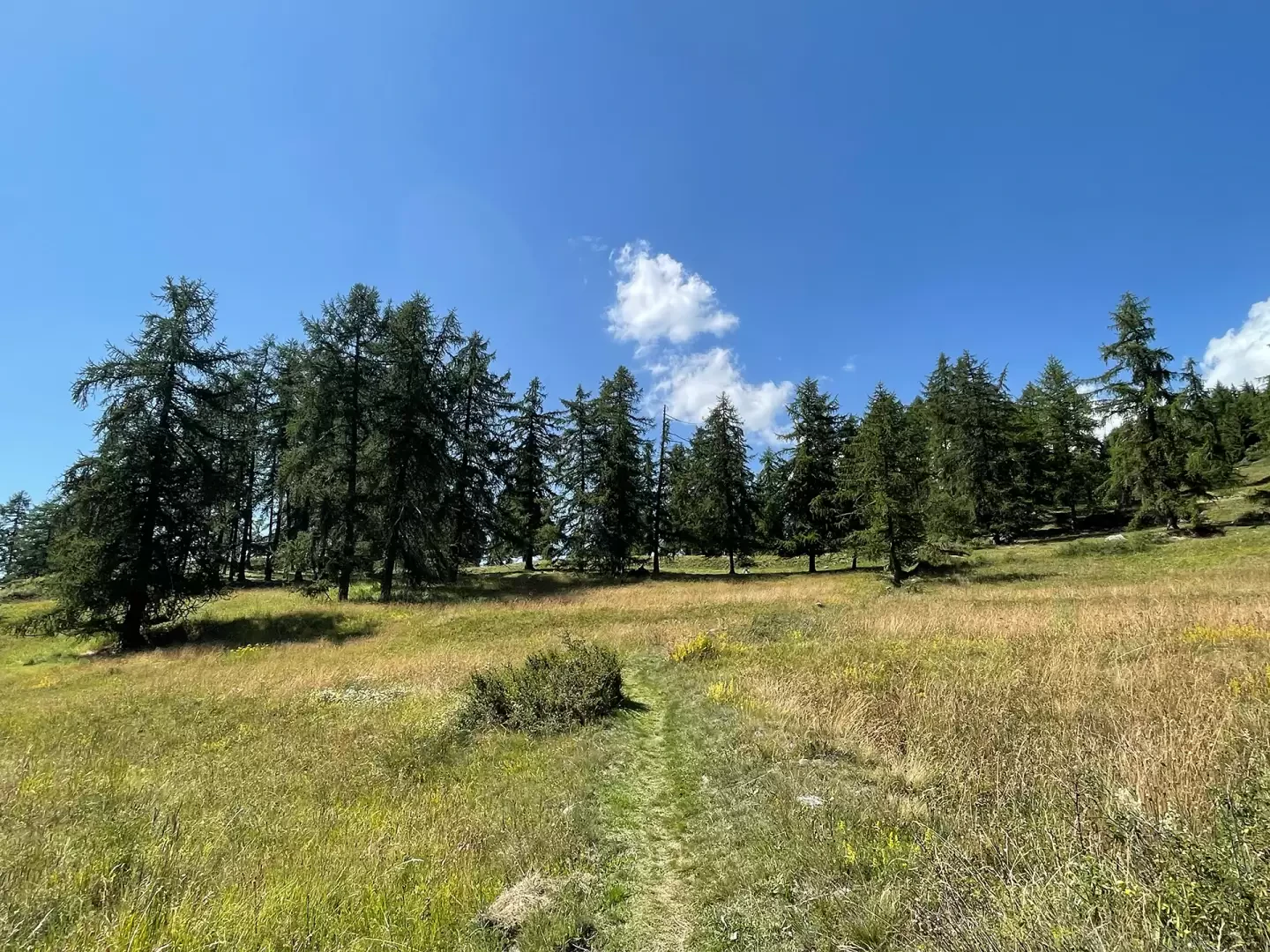
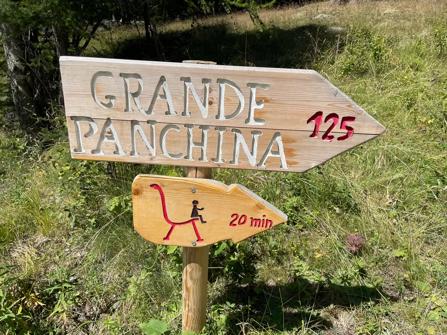
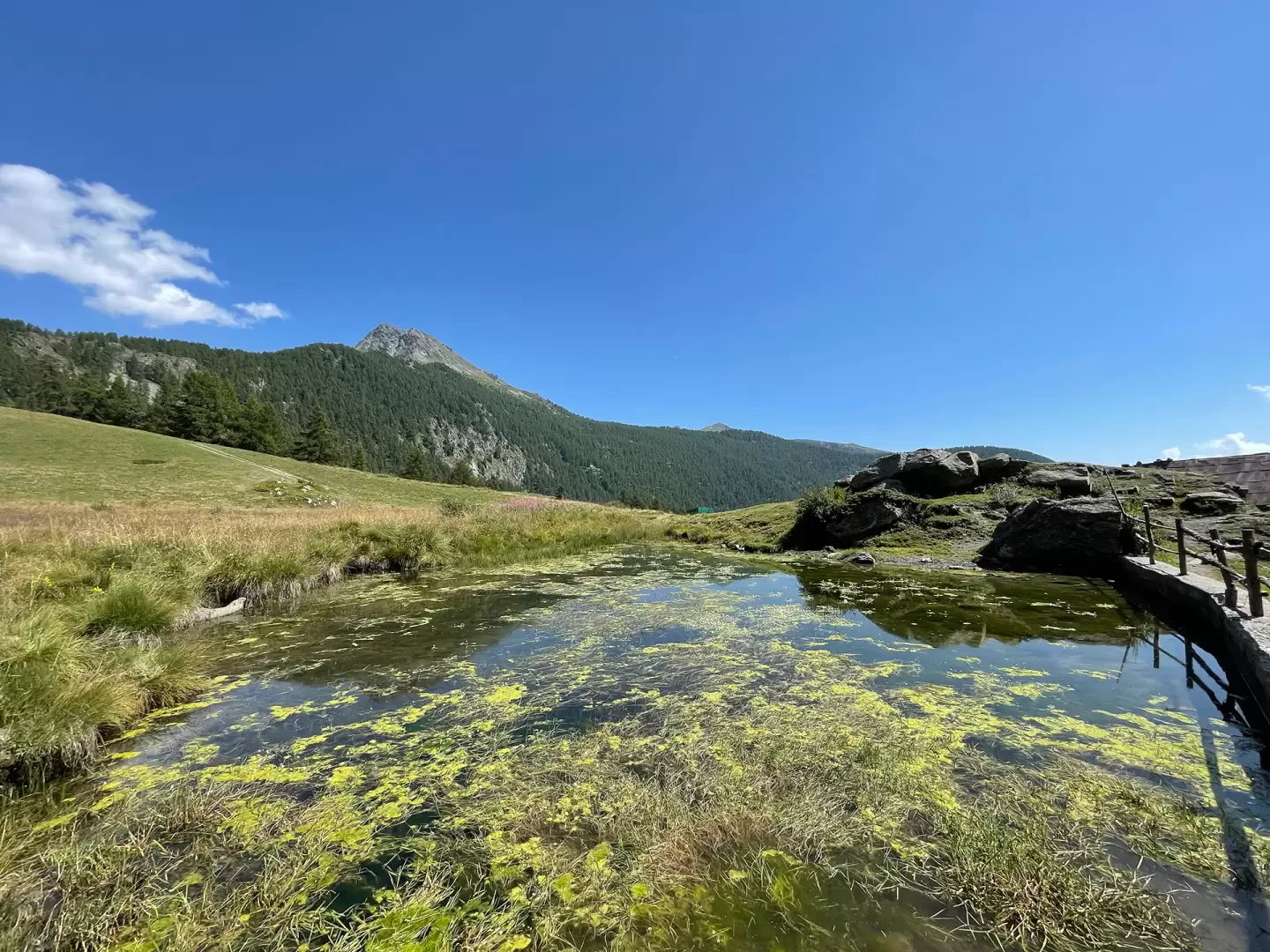
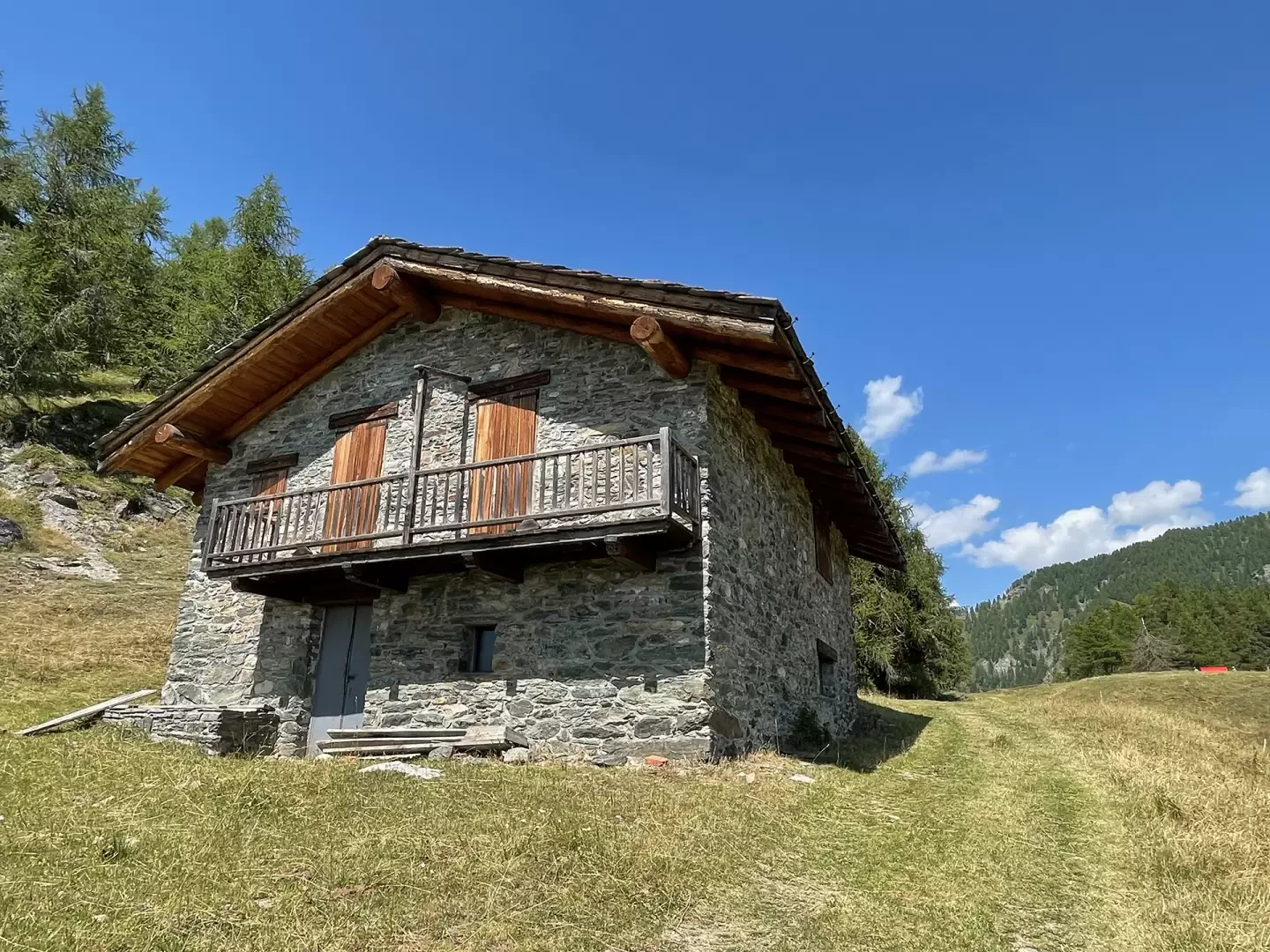
0h25' Follow the signposts on the "Big Bench" signpost board, taking a small "single-track" path that is almost flat and heads eastwards. The path then starts to climb again and without any particular effort you reach the Valery alpine pasture (1900m). Continue on the path heading towards the lonely hamlet of Pilaz (1961m) and shortly to Col Pilaz (1966m) 0h45' - where there is a picnic area with a fountain 💧 and, a little further on on the right is the red Big Bench #0125.
The descent is along the same route as the outward journey with a little more than half an hour's effort 0h35' . To return, there is a possible circular route that involves descending to Artaz following the path.
Galleria fotografica