Col Moutsaillon, from Dondena


Edited by:
Massimo Martini
Updated at: 27/02/2025
Access
Leaving the motorway at the Pont-Saint-Martin toll booth, after 100m turn left to follow the state road in the direction of Aosta. After 500 metres, take the second exit at the roundabout and continue on the state road for 3 kilometres to the next roundabout. Take the second exit and follow the regional road in the Champorcher Valley. Continue on the regional road for 14.7 kilometres up the valley and through the villages of Hône and Pontboset before reaching Château, the centre of Champorcher. Turn right, following the signs for Dondena and climb up the little communal road for about 7.9 kilometres until you reach the Dondena car park 🅿️ where you can leave your car.
[0h52'] - [30.6km]
How to get there with GMaps
How to get there with Apple Maps
The information provided here has been verified as of the date the route was surveyed. Before setting off, it is advisable to ensure that no substantial changes have occurred on the route to the starting point. We therefore recommend the use of the satellite navigation apps provided by Google or Apple for up-to-date and detailed directions.
Introduction
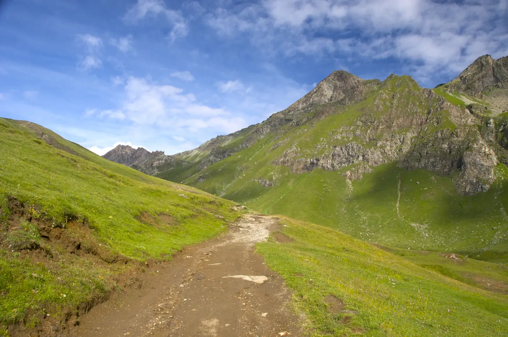
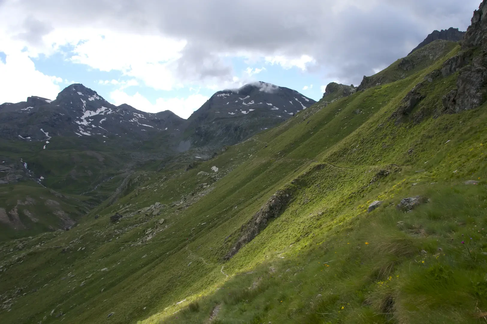
The hike to Col Moutsaillon (2853m) is an itinerary that crosses the picturesque Champorcher Valley, a fascinating corner of the Aosta Valley, part of the Mont Avic Natural Park. This route, suitable for intermediate hikers, winds through alpine pastures, rocky valleys and breathtaking views, leading up to the saddle of the pass, a privileged point from which to admire the peaks of the Mont Avic Park and the Cogne Valley.
Description
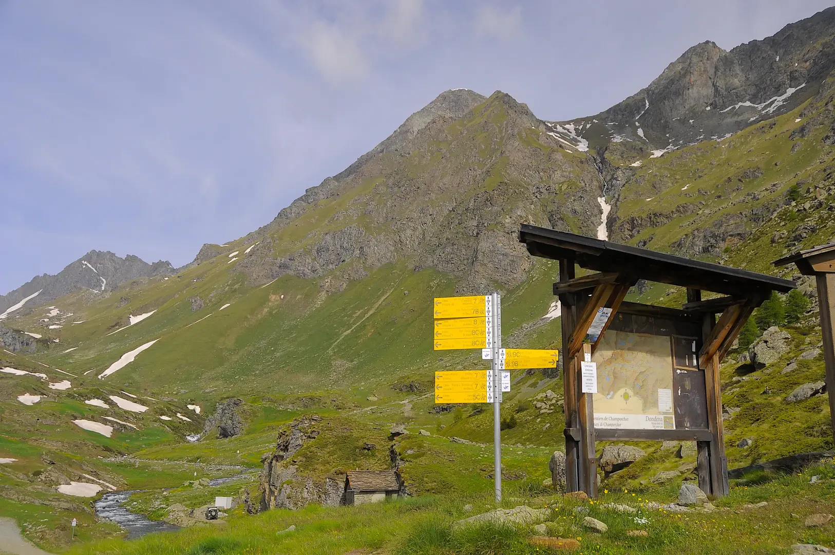
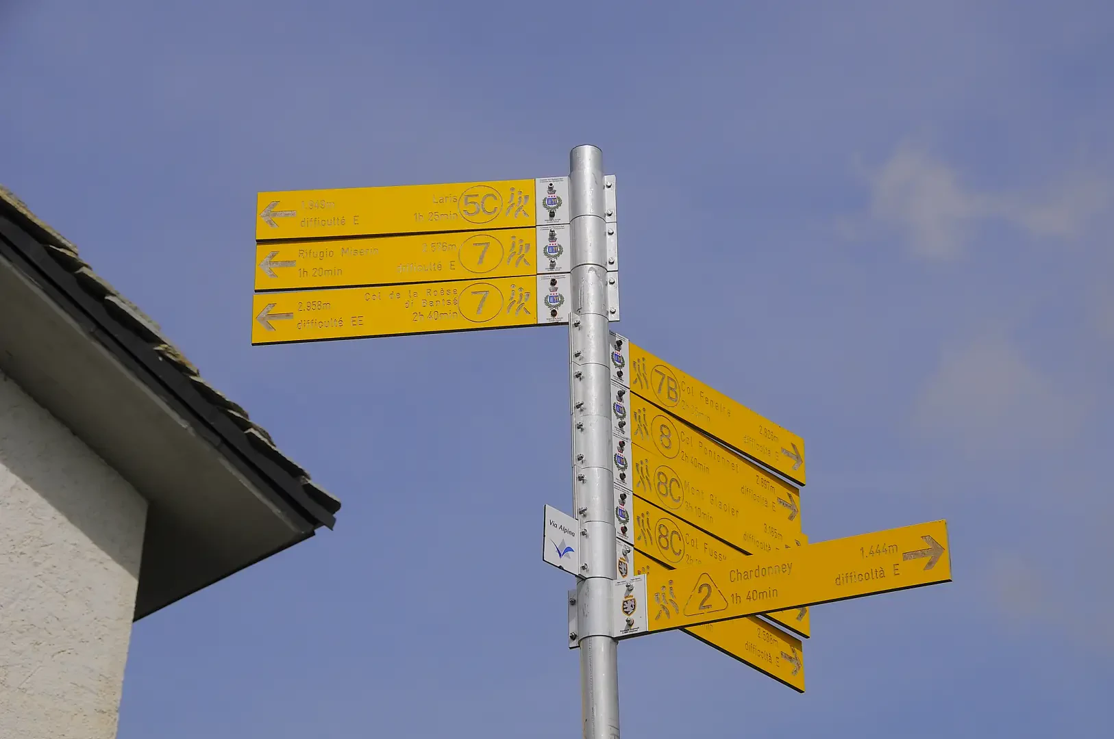
0h00' 0.00km Leave the car in the clearing adjacent to a large wooden panel bearing the map of the municipality of Champorcher. Proceed downhill towards the Torrent Ayasse, following the dirt road until you reach a signpost.
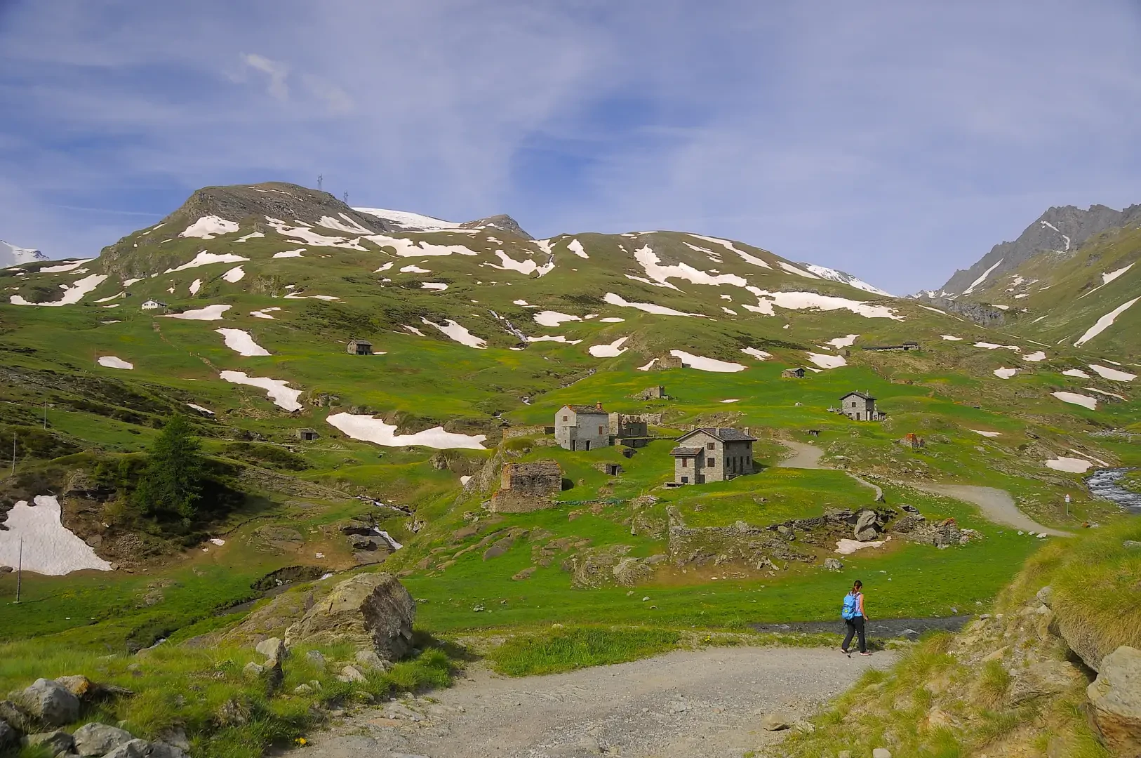
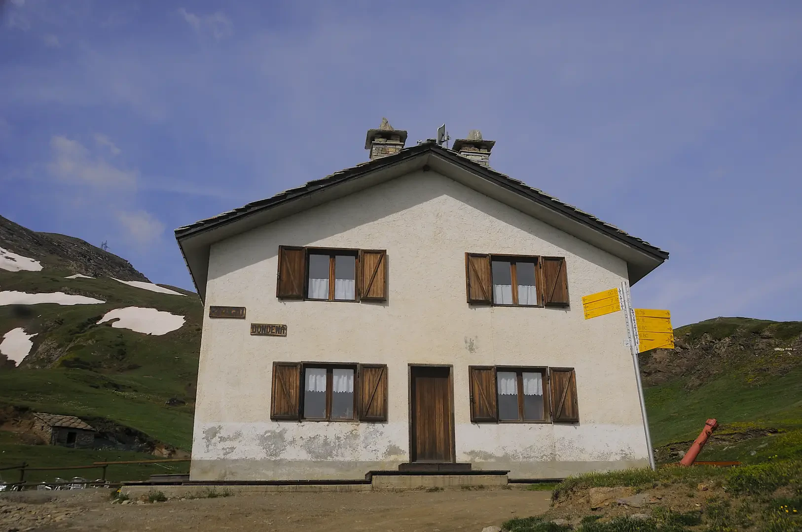
0h02' 0.1km Neglect the paths downhill towards Chardonney and continue straight on until you reach a hamlet leaning against a rock face. Turn left, cross the Torrent Ayasse on a concrete bridge and begin the ascent. Skirt the ruins of the former Albergo Alpino and some isolated hamlets of Dondena, some of which were set on fire during a Nazi-Fascist reprisal at the end of May 1944. Continue along the road, ignoring a shortcut path, which with a few hairpin bends climbs alpine pastures dotted with gentians (Gentiana acaulis) and arnica (Arnica montana), until reaching the Rifugio Dondena 💧(2186m).
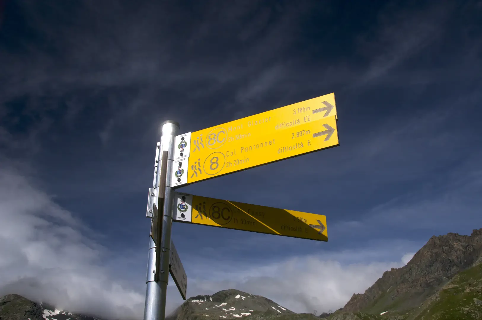
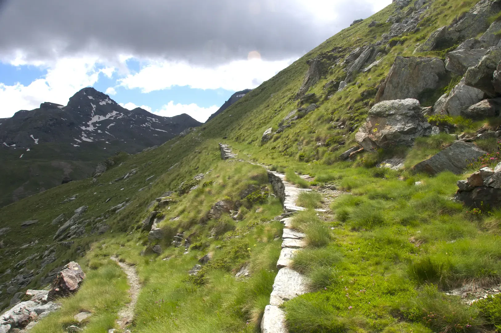
0h25' 1.08km Follow the directions on the signpost and turn right to proceed along the dirt road leading to Lake Miserin. Proceed with a moderate incline in a north-westerly direction, climbing up the Ayasse valley and circumventing the slopes of Mont Dondena on the route of the old Royal Road, a fascinating historic trail nestling between pastures and rocky outcrops. The route continues until reaching the suggestive alluvial plain of Plan Enseta, under the severe gaze of Mont Dela (3139m) until reaching a new signpost.
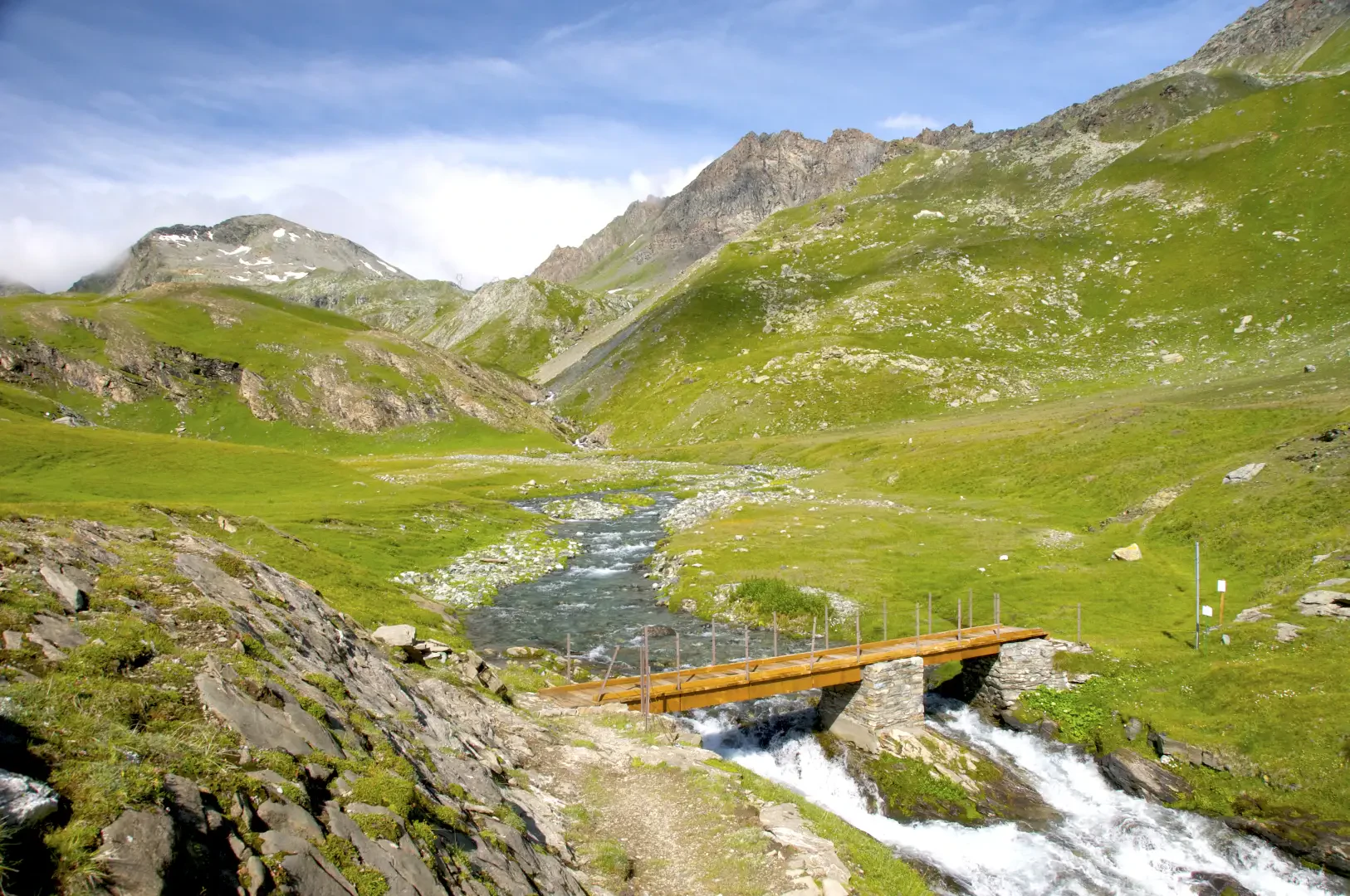
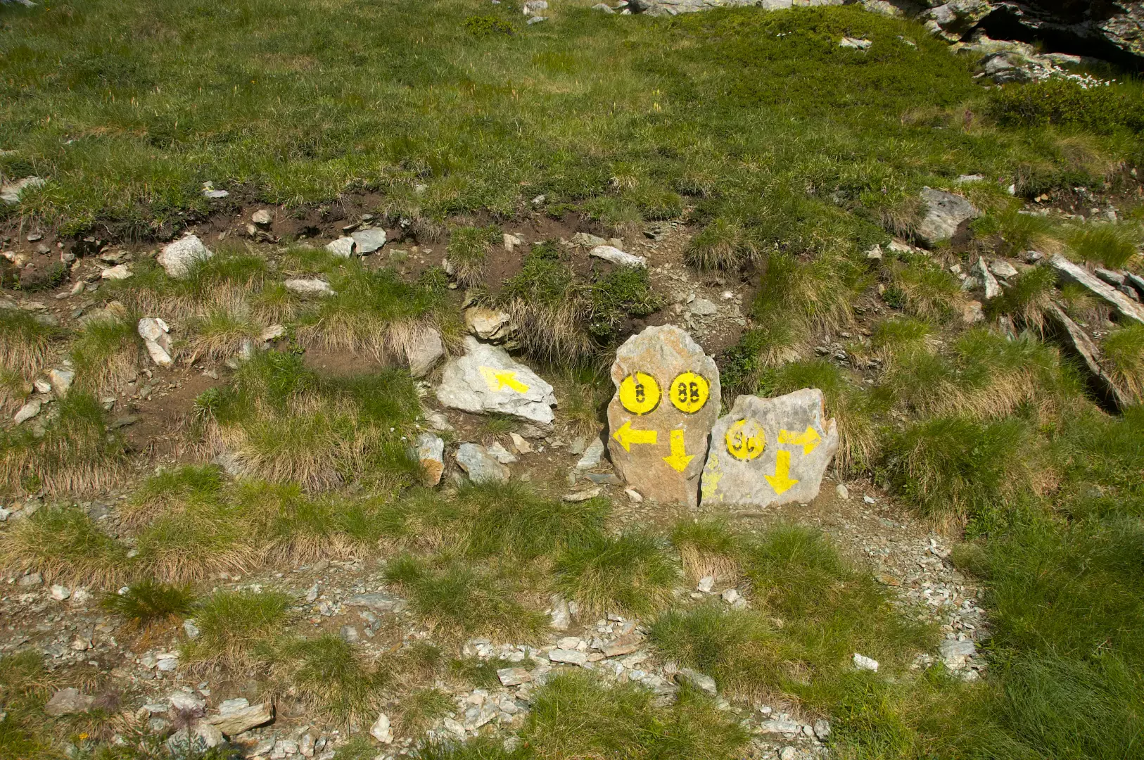
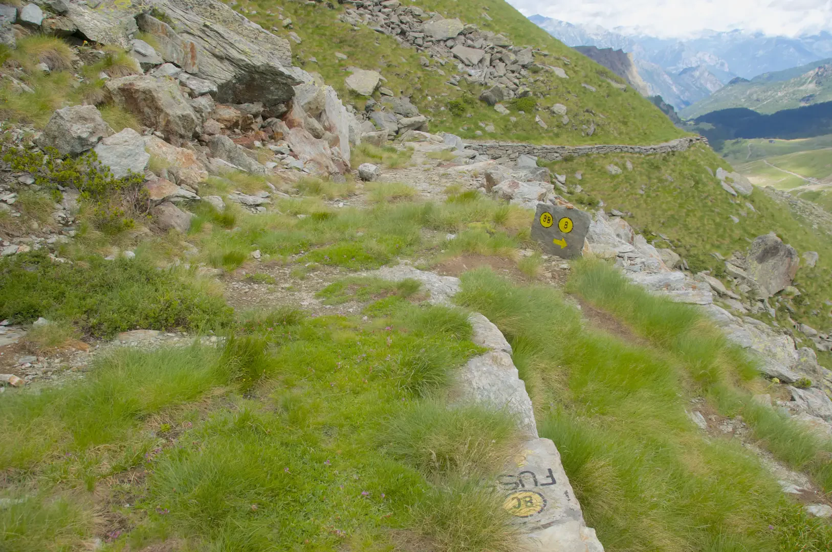
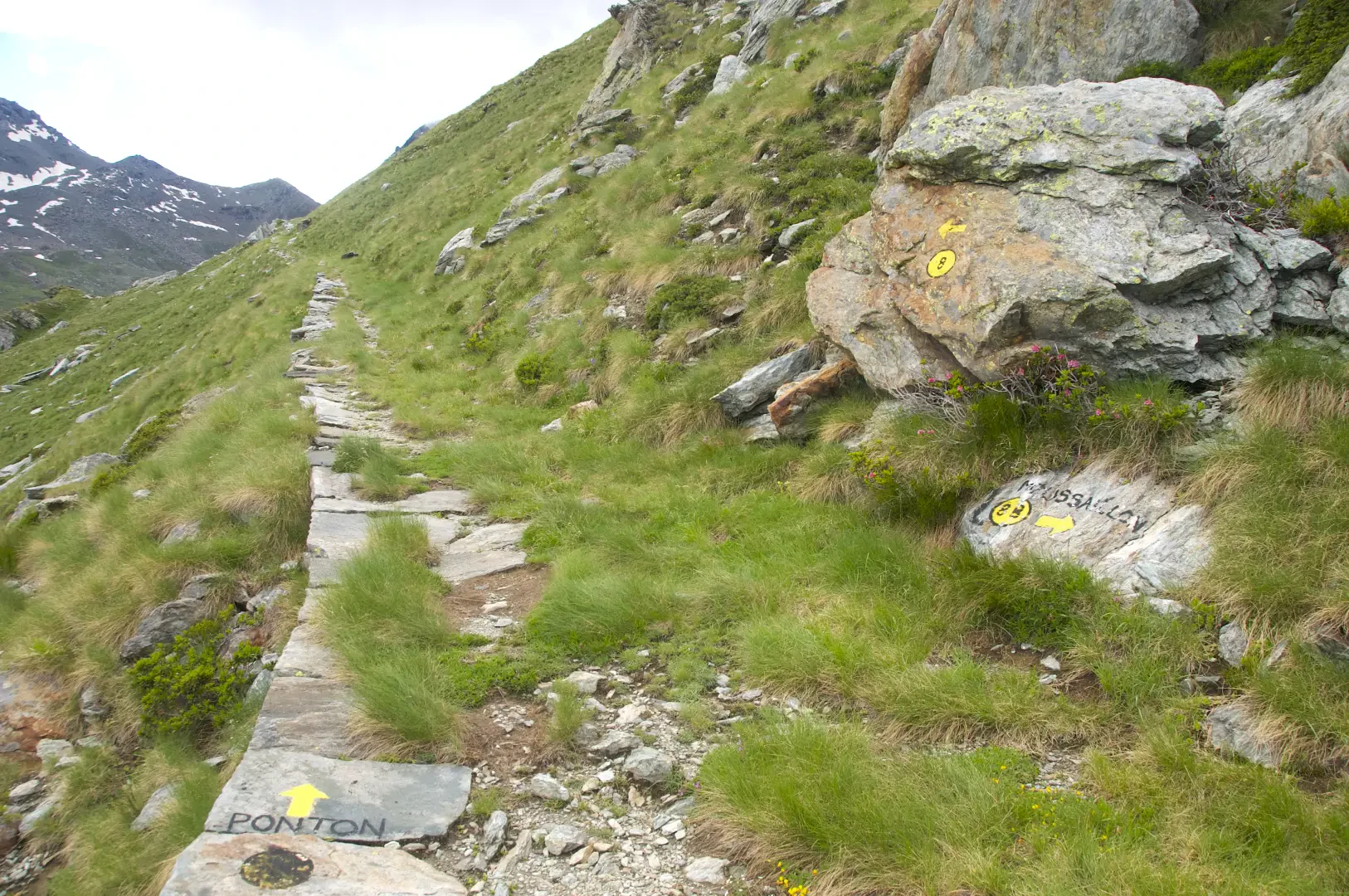
1h00' 2.55km Cross the Ayasse stream on a wooden footbridge and continue along the grassy plateau, where numerous edelweiss (Leontopodium alpinum) bloom. Reach a large boulder topped by a cairn, an obvious landmark along the way. Continue uphill, taking a series of turns up the grassy slope. Along the way, observe the presence of rhododendrons (Rhododendron ferrugineum) and other alpine essences. Continue until you reach a crossroads marked by painted markers on the stone.
1h30' 3.75km Keep to the left and climb up the path, which takes a series of twists and turns, offering pleasant views of the wide Miserin basin on the left, until you reach a crossroads at an altitude of 2,540m.
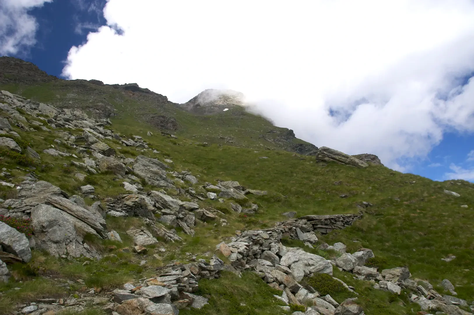
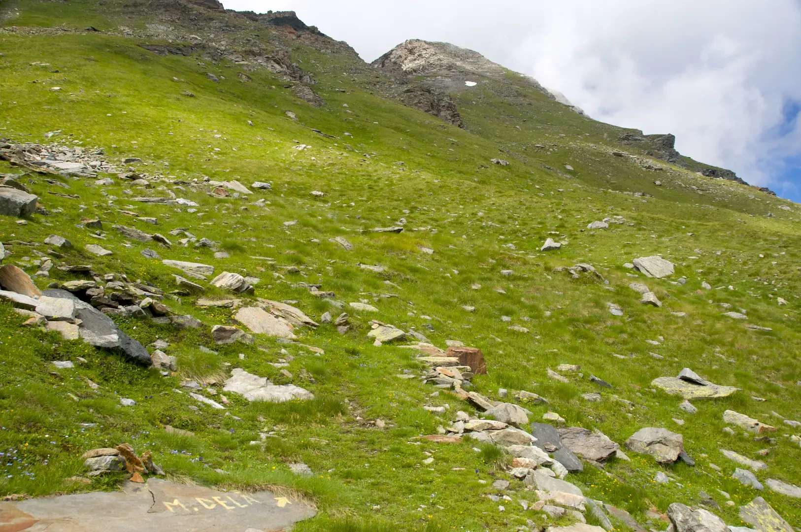
1h40' 3.75km Continue straight ahead on the path, which climbs up the grassy slope until, near a hairpin bend to the left, you come to signs for the ascent to Mont Dela, at an altitude of 2.670m.
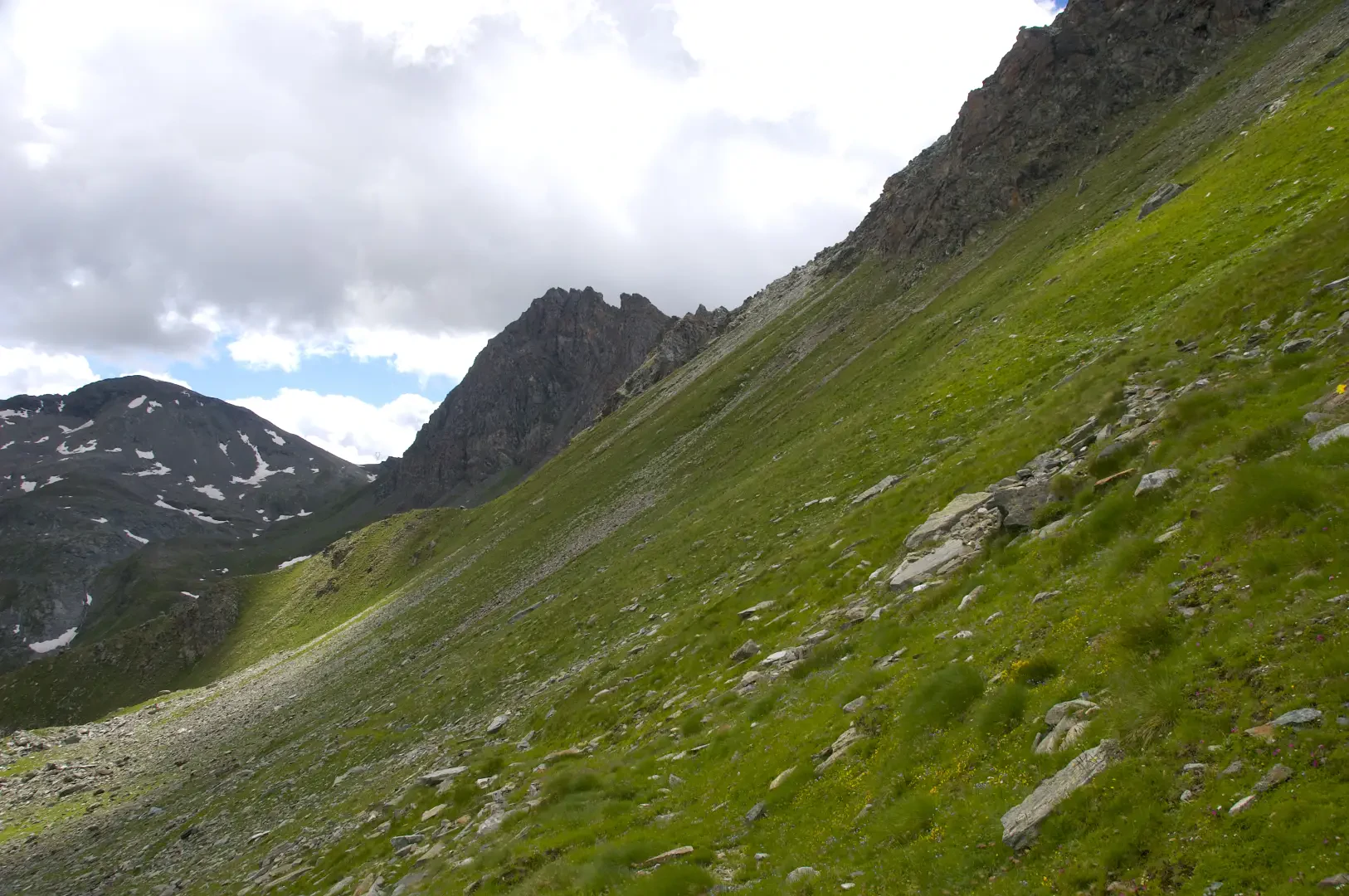
2h10' 4.91km Ignore the signs present and turn left, heading firmly towards the destination. The path makes a few turns before continuing on a long ascending diagonal across the southern slope of the Tête de Cuneaux. A gradual change in the landscape can be observed: the increasingly sparse pastureland gives way to the detrital environment typical of these altitudes, where a few species of saxifrages (Saxifraga spp.) can be spotted and specimens of the Alpine ibex (Capra ibex), a characteristic inhabitant of these areas, can be spotted. The surface of the path becomes more unstable, with gravel and shifting stones; therefore, the last section, which has a steep incline before reaching the wide saddle of Col Moutsaillon (2853m) 2h40' 5.80km , must be approached with care.
The return is along the same route as the outward journey, retracing the farm road until reaching Plan Enseta, the Dondena hut and the car park, the starting point of the itinerary (2107m) 1h40' 5.79km .
Points of Interest
Collections
Galleria fotografica