Col Marcage, from Bellecombe

Edited by:
Massimo Martini
Updated at: 04/05/2025
Access
From the motorway exit at Châtillon, turn left heading towards the town centre until you reach a first crossroads where you turn left again. Follow Strada Barat then Viale della Stazione as far as the subway over the railway line, after which turn left again, following signs for Ussel/Pery/Bellecombe. Continue on the little communal road, cross the Dora Baltea and reach the characteristic village of Ussel, known for its medieval castle. Continue on the communal road surrounded by chestnut trees until you reach the village of Bellecombe, where you will find a large free car park 🅿️ in front of the chapel of Saint Anne.
[0h1'7] - [8.5km]
How to get there with GMaps
How to get there with Apple Maps
The directions given here have been verified at the date of the survey of the route. Before setting off, it is advisable to make sure that no substantial changes have occurred on the route to the starting point. Therefore, we recommend the use of the satellite navigation apps provided by Google or Apple for up-to-date and detailed directions.
Introduction
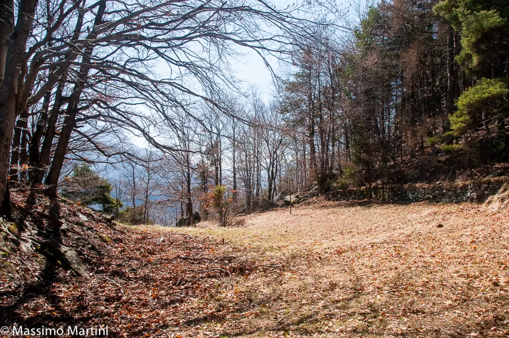
A pleasant mid-altitude hike on the heights above Chatillon, Saint-Vincent and Montjovet. The destination of the hike is the Col Marcage, a wide inlet on the north-eastern ridge of Mont Lyan that separates the Rodoz valley from the sunny slope of Gettaz. The route is not particularly difficult and does not present any major differences in altitude; it mainly runs through the forest of the envers between Scots pine (Pinus syivestris) and downy oak (Quercus pubescens).
Description
0h00' 0.00km Leaving the car behind, proceed to the left of the pretty chapel of Bellecombe, dedicated to St Anne, taking a dirt track that leads between reclaimed fields and chestnut groves with beautiful views of the not-too-distant peaks of the Val d'Ayas. At the end of the small road, you reach a clearing where the path starts, climbing briefly into the forest and crossing a rocky stretch. After the very short climb, the path proceeds through the Scots pine forest and juniper undergrowth with a very gentle slope. After walking for about 30 minutes, you come to a power line pylon, where a path branches off to the left and leads to the not very well known peak of Mont Avi (1117m): the diversions can add about 10 minutes to the hike. Continue through the beautiful forest, which occasionally opens up to reveal interesting glimpses of the towns of Saint-Vincent and Châtillon below, Mont Zerbion, and in general the curvature of the main valley. Slowly we leave the part of the forest known as Belle Côte to embark on a section of steeper slope, with the path proceeding halfway up the mountainside with a few small climbs. Once having passed under the power line, one enters the municipality of Montjovet and then the slope of the ascent eases as one enters a wooded balcony. The Scots pine is gradually replaced by downy oaks as the path veers to the left, following the curvature of the main valley. Reaching the highest point of the itinerary (1136m), a short descent is undertaken to reach the meadows in front of the village: a short flat section leads to Rodoz (1125m 💧), which immediately offers the hiker the remarkable 16th century chapel dedicated to the Visitation of the Virgin Mary.
0h50' 1.98km The now abandoned village offers interesting insights into rural architecture and a great feeling of solitude. Go past the village and turn right, leaving the last meadows before descending into the valley of the Grand Rodoz stream to be crossed on a wooden footbridge. Retrace your orographic right by ascending briefly to reach a farm track near Brusoncle. Turn right onto a beautiful mule track that ploughs its way up the wide rift of the Col Marcage (1,100m) 1h20' 3.44km to its summit.
The return trip follows the same route as the outward journey 1h10' 3.44km and can be supplemented with an ascent of Mont Avi.
At Bellecombe, a few metres below the chapel, there is a fountain 💧 to refill water bottles. The forest through which we pass is often frequented by wild boar, and traces of them can often be seen, although it is not easy to have a direct encounter.