Col des Laures, from Gimillan
Access
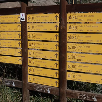
From the motorway barrier at Aosta-West keep to the right and take the regional road for the Cogne valley. After passing through the village of Aymavilles, the road enters the valley, passing the villages of Vieyes, Epinel and Crétaz until you reach a roundabout, 20 km after the motorway toll booth: take the second exit and continue along for another 1.1 km until you come to another roundabout. Take the third exit following the signs for Gimillan. Drive up the communal road for about 3 kilometres passing the village of Montroz and, once in Gimillan, at the crossroads keep to the right and continue for about 200 metres until you come to a large free car park 🅿️ located on the right-hand side of the road. Once you have left your car, drive to the fountain 💧 where there are signposts with directions for all the routes in the Vallon de Grauson.
[0h35'] - [24.1km]
- How to get there with GMAPS
- How to get there with Apple Maps
These indications are based on direct verification carried out at the time of surveying the route so the information should be checked before embarking on the hike. We recommend using a GPS navigator or map app on your smartphone to get up-to-date and detailed directions.
Introduction
The Col des Laures is an important pass between the central valley (Vallone delle Laures) and the Cogne valley but, due to the long approach, is often overlooked. From the pass, one can best appreciate the important peaks around Mont Emilius.
Description
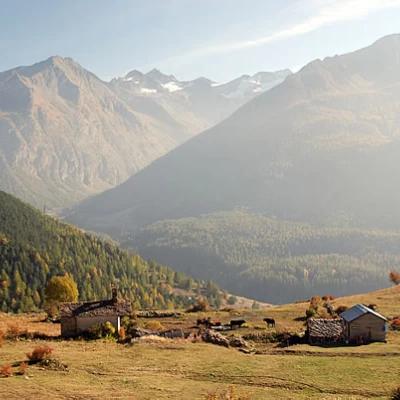
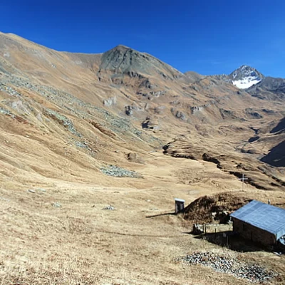
0h00' Climb up the wide path between terraced pastures until you come to the little farm road leading to Plan de Cretetta, which you should follow as far as the signpost. Along this first section of the walk, you can appreciate interesting views of the glaciers at the head of Valnontey, the Lillaz plain and, turning around, the village of Gimillan and the Pousset peak.
0h10' At the marker take the path to the right that goes almost level above Tarabouc (1831m) and the characteristic chapel dedicated to Saint-Bernard. Past the power line, the path veers slightly to the left and enters the Vallon de Grauson. After skirting a ruin, you will come to a votive shrine and a new marker indicating the junction with path coming from Montroz (1895m).
0h20' Continue straight on for a short distance until you come to the fork for the variant to Tchezeu (1915m), which should be ignored.
0h25' The path begins to descend the eastern slope of the Truc Cretetta halfway down the valley and leads to the bottom of the valley where a small wooden bridge (1889m) allows you to cross the Torrent de Grauson near Encloseur.
0h40' After crossing the bridge, you will come to the fork between path and path to Colonna (1903m). Turn left and continue up the pastureland, keeping to the orographic left of the valley on the easy path that soon reaches the end of the Tchezeu variant (1967m).
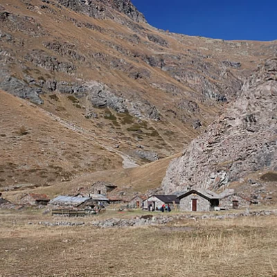
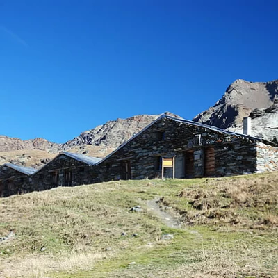
0h50' Crossing a short strip of larch (Larix decidua), you will come to the Pila pastureland, which remains below on the left. Disregard the signs for the Cascate di Pila waterfalls, marker , and continue straight ahead, following the obvious path around the northern ridge of Mont Creya. A few bends allow you to gain height and lead to a peculiar cairn composed of stacked wooden logs. Cross another larch grove by keeping halfway up the steep slope, leaving the Torrent de Grauson gorge to the left. Past the larch forest, the Crouzet farmstead appears on the left and, shortly afterwards, the pleasant plateau of Grauson dèsot is reached. When you reach the cross, which remains on the left, you will come to the fork in the path that leads to Lake Money and Mont Creya: continue on path along a short downhill stretch on the lovely green plateau where it joins path , which is the winter access route to the valley and the cottages of Grauson dèsot (2273m).
1h30' Continue by entering a small narrow passage over the stream, which is crossed shortly afterwards by a small wooden bridge. Once through the narrows, proceed through the grassy valley until reaching a new fork (2391m).
1h40' Take the path to the left that climbs the grassy ridges of the Tête Praz de Ler, bypassing a small mountain pasture at the foot of the Tersiva. Continue diagonally along the peat bog plateau until reaching the Grauson damon pasture (2540m).
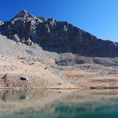
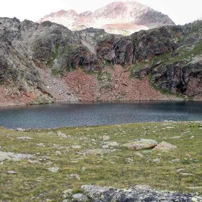
2h00' Continue to the left, heading towards the impluvium of the Tzézeire stream, crossing it on a small ford. Continue climbing until you reach the wide plateau that precedes the first of the Lussert lakes. Descend a little to the plain, cross the Lussert stream and continue climbing slightly until you meet the interval path and the first of the Lussert lakes (2713m, 2h35').
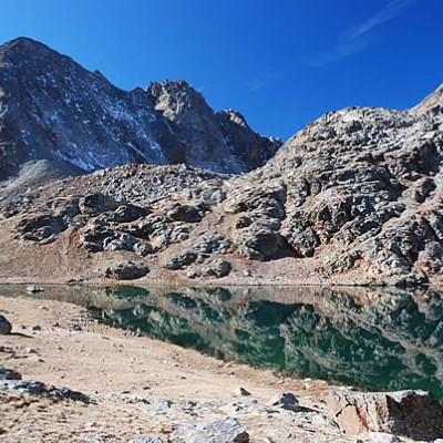
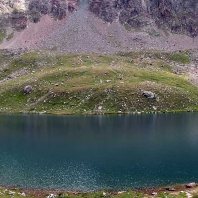
We now proceed to the left, ascending the slope that separates us from the terrace on which the second lake lies; the path becomes steeper but is still pleasant thanks to the remarkable work of tidying up along the route of the interval path . Slowly the ascent lessens and we reach the second of the Lussert lakes (2790m, 3h00').
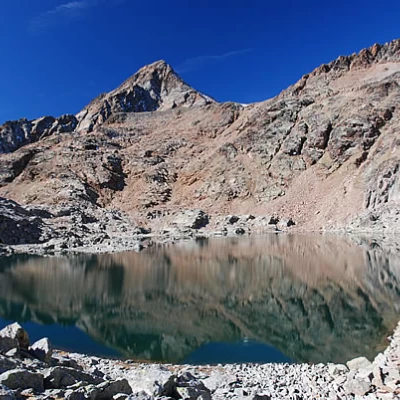
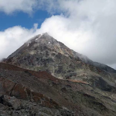
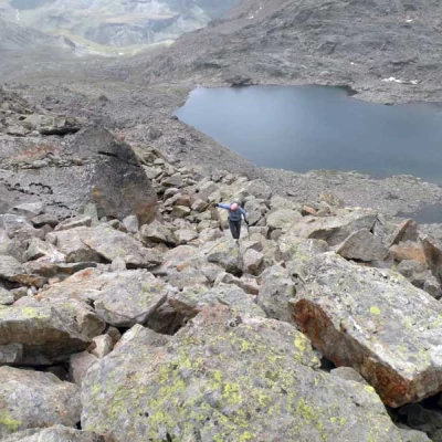
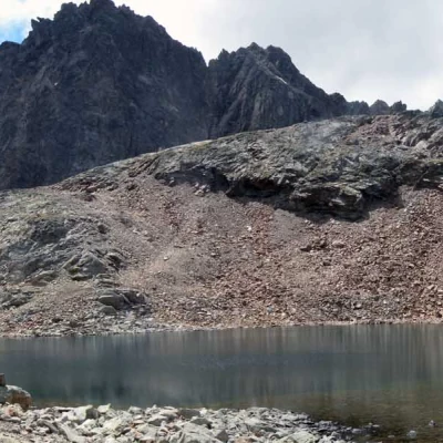
We skirt the eastern side of the lake and then resume the ascent towards the third lake. The trail leads to the beginning of the step and begins to climb it in a sustained manner. Having passed the most demanding section, you now enter the vegetation-free environment and, between the first scree slopes, the third lake of Lussert (2906m, 3h40') appears in front of the sharp pyramid of Pic Garin (3461m).
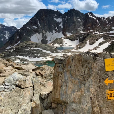
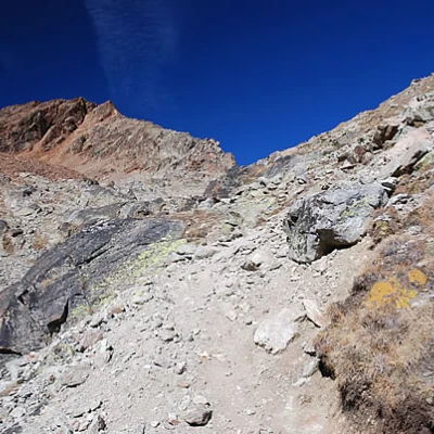
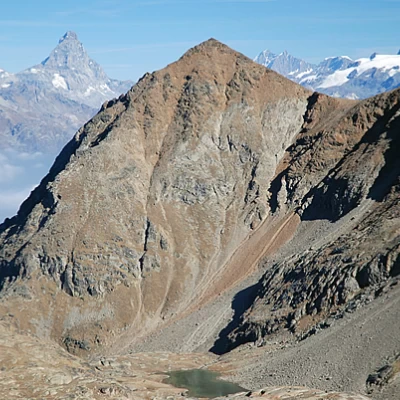
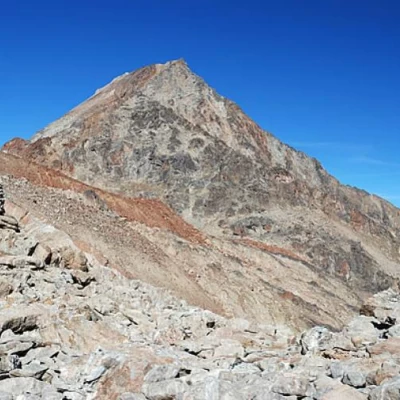
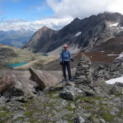
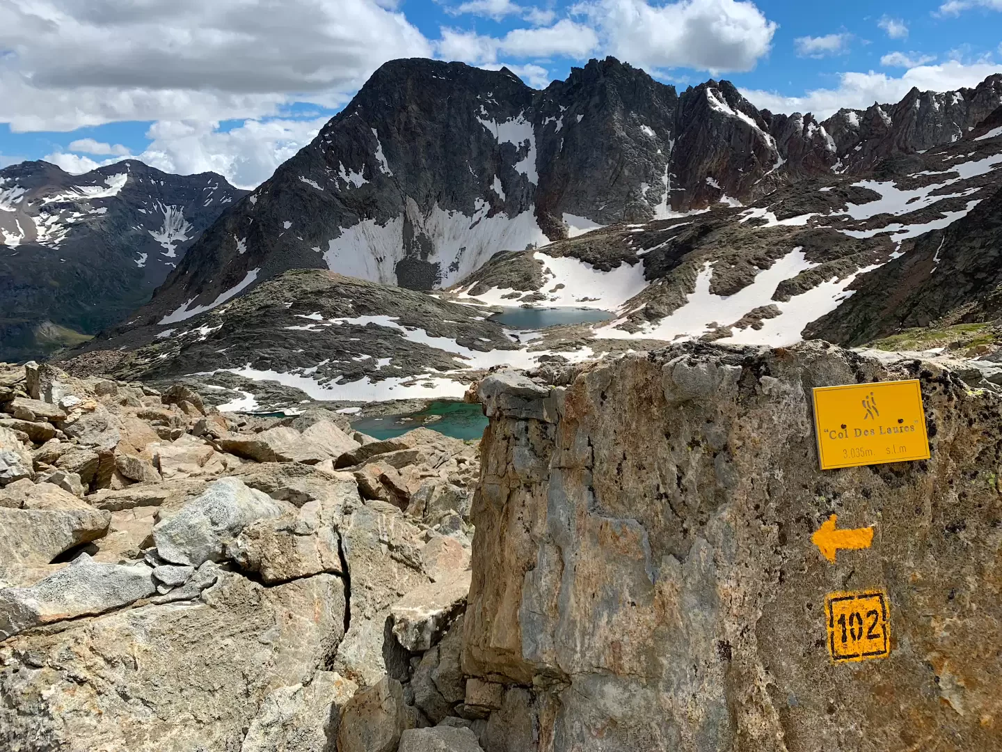
The pass is now visible, and we climb up towards the saddle, passing a few wide bands of scree, interspersed with small sections of path, in the sight of the "red" Pointe des Laures (3367m). A few metres from the pass, the imposing Mont Emilius begins to appear: we reach Col des Laures (3035m, 4h00') with its characteristic little pyramid-hut, and can appreciate an exceptional panorama of the Pennine Alps (the Matterhorn is at hand....) and on the not-too-distant peaks surrounding the Laures valley (Becca Salé, Petite and Grande Roise).
The descent is along the same route as the outward journey (2h30').
