Col des Ceingles
Access
Take the A5 Turin-Aosta motorway and exit at the Aosta East barrier, heading towards the Great St. Bernard Tunnel. When you reach Saint-Rhémy-en-Bosses, continue to the right on the road for the Great St. Bernard Pass; once up the valley, go past a refreshment post and, after a couple of bends, you will find a dirt road that climbs to the left (approx. 2065 m) at the beginning of which there is a small widening where you can leave your car.
Introduction
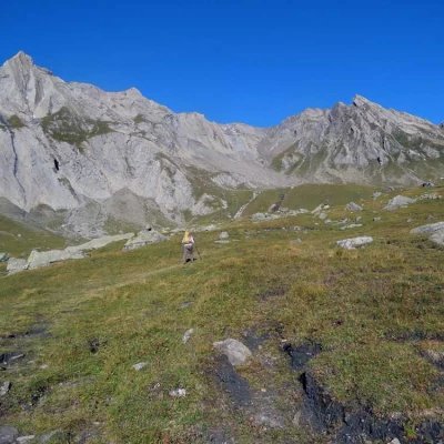
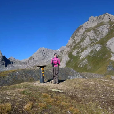
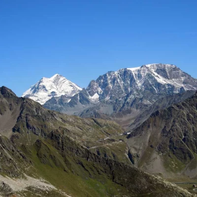
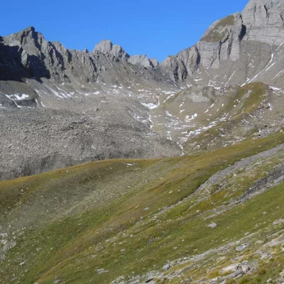
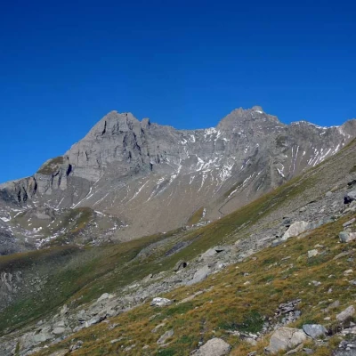
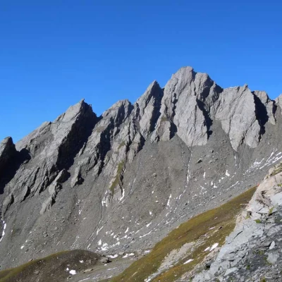
The little Col des Ceingles is located between the Momt Petit Golliat and the Aiguille des Ceingles and separates the Comba des Thoules with a valley below the belle Combe, both of which branch off from the lower part of the Comba de Merdeux. With this itinerary, the pass is reached by first passing through the Col de St. Rhémy and then crossing the unspoilt and solitary upper part of the Comba des Thoules, dominated by the Petit and Grand Golliat; the path, which is beautiful and well marked, and the fairly contained difference in altitude recommend the excursion both to those who want to approach this type of activity and to lovers of solitary and little-visited valleys, with the possibility of seeing deer in the lower part and ibex in the upper rocky areas. At the arrival of the two passes, the panorama remains closed only on the northern slope, while on the other slopes it is open to the Grand Combin, the Grivola, Gran Paradiso and the Rutor group.
Description
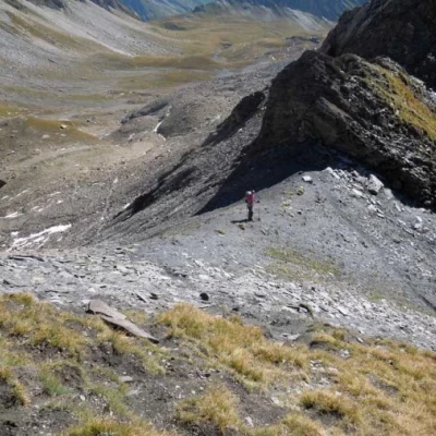
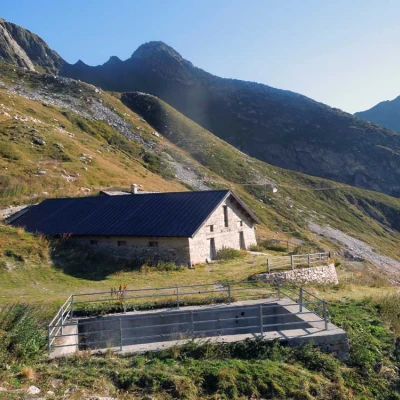
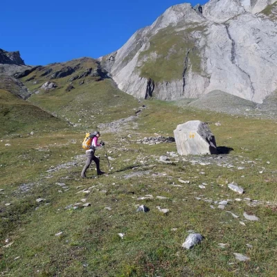
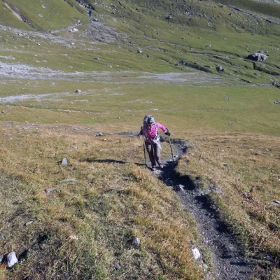
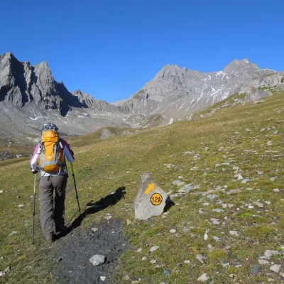
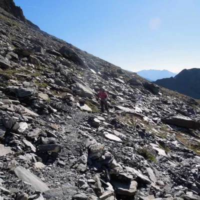
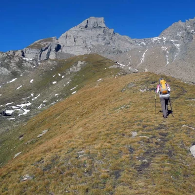
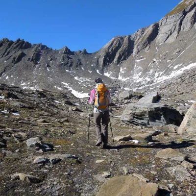
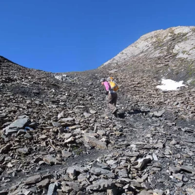
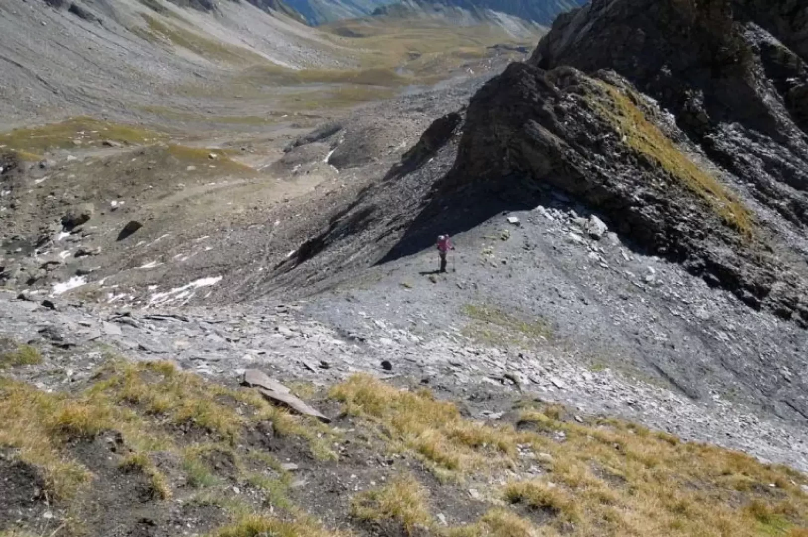
From the car park, go up the dirt road that rises with a few hairpin bends, arriving shortly at the Praz de Farco hut (2183 m) from which you continue to the left on the mule track that goes round a low promontory on the level, arriving near an isolated hut (2199 m). Climbing with a slight incline, one enters the beautiful valley that one crosses, arriving near a large isolated rock from which one bends slightly to the left; after a straight stretch on a slight ascent, the incline increases noticeably when the path, with some hairpin bends, climbs a little marked grassy ridge that in a short time leads to the Col di St. Rhémy (2560 m). From the inlet, continue to the right, descending a few metres to immediately take a short grassy ridge, at the end of which you keep to the left and, with an almost level path, cross and contour a short slope beyond which you enter the Combe des Thoules. Passing under the steep slopes that descend from the Aiguille des Sasses, cross a landslide zone and, still remaining in the upper part of the valley, head towards an evident grassy moraine. When you reach its summit, turn left to enter a small detrital plain with large erratic boulders that you cross by passing at the base of a high moraine rampart and, crossing it in an almost straight line, approach the scree slope that lies below the pass in front of you. Having reached its base, we begin the short but steep ascent up a track that, on somewhat crumbly stones, reaches the small Col des Ceingles pass.
General Information
Trail signposts: 12, 12A
Type of route: a/r
Recommended period: June,July,August,September
Objective hazard: none
Exposure to sunshine:north-east
